National Weather Service United States Department of Commerce
Click a location below for detailed forecast.

Last Map Update: Thu, Jun 12, 2025 at 9:12:39 pm CDT

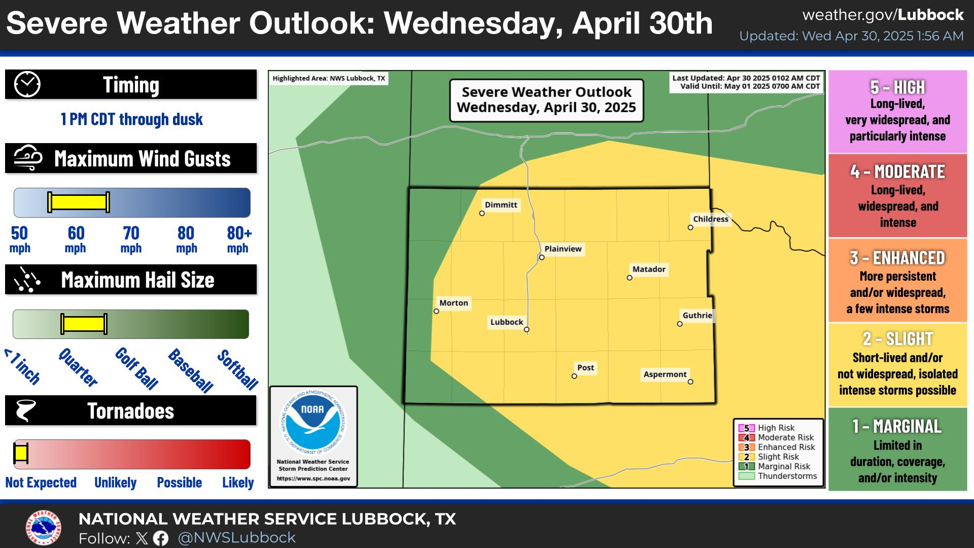
There remains a slight chance of thunderstorms this evening, primarily along and just east of the TX/NM State Line if they can hold together. Primary hazards will be small hail, heavy rain, and strong wind gusts with stronger storms. #lubwx #txwx
A chance of storms through the early morning hours. Thereafter quiet weather is expected with mild overnight lows and partly cloudy skies.
Much warmer in the mid to upper 90s area-wide under mostly clear skies and light southerly winds. Another chance for storms late afternoon through late evening. Some storms may become severe.
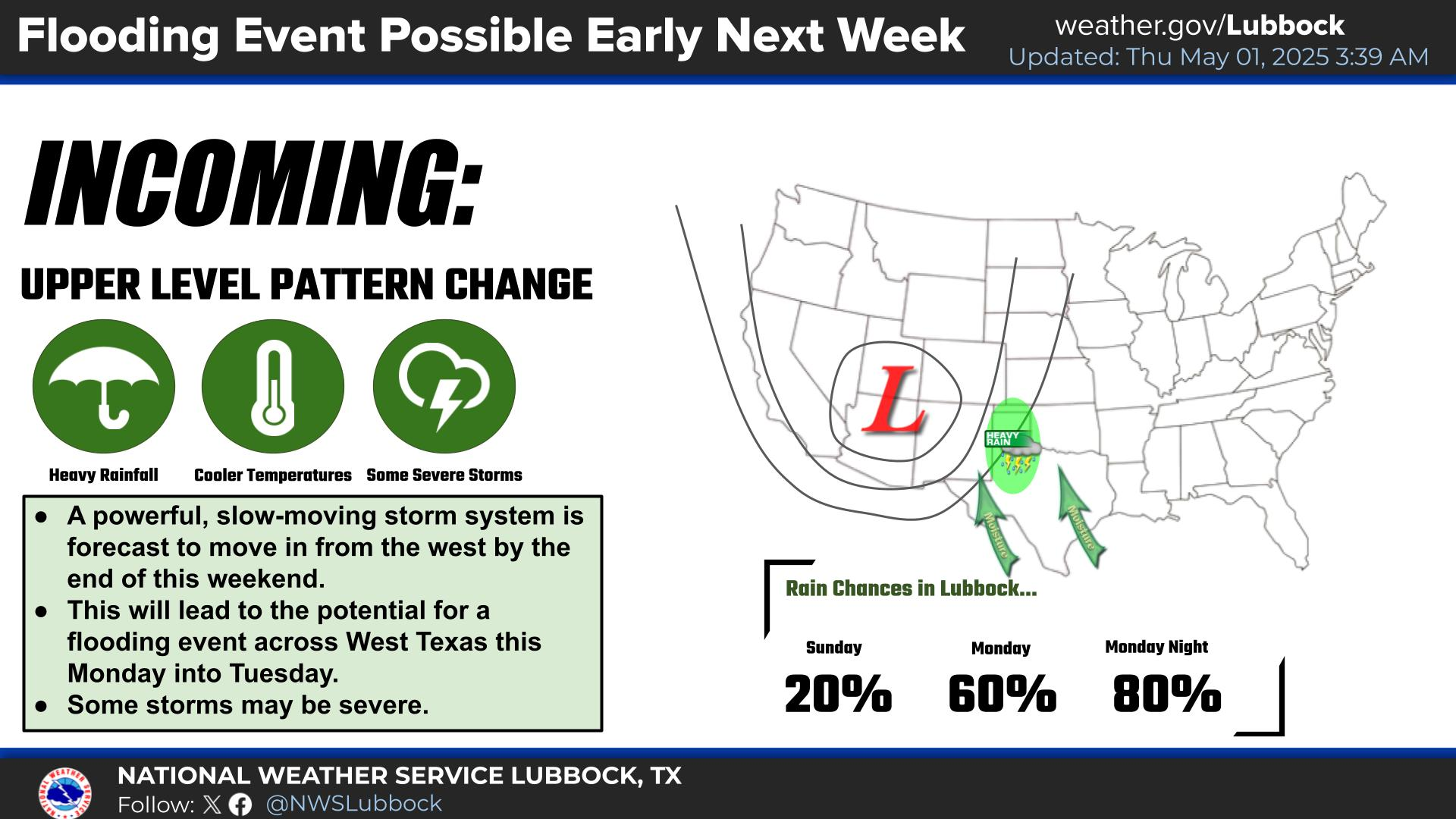
Hot temperatures well into the 90s and into triple digits for some locations are forecast for this weekend into the middle of next week. Slight chance of late day to early evening thunderstorms are in the forecast for some most days.


Local Weather History For June 12th...
2005: A localized outbreak of tornadoes struck Kent, Crosby and Dickens County late this day as an extremely unstable and
strongly-sheared airmass took aim on the region. Although one strong, but brief thunderstorm developed east of Lubbock in
Crosby County early this afternoon, the significant severe weather event waited until mid-afternoon. By this time, an
upper-level disturbance, working in tandem with a tightening dryline across the eastern South Plains, promoted the
development of a broken line of north-northeast to south-southwest oriented storms near the Caprock Escarpment from Floyd
and Motley Counties south to Crosby and Garza Counties. Given the extreme instability and strong wind shear in place,
these storms immediately began rotating followed by large hail and tornadoes. The first two tornadoes were rated F0 and
belonged to a supercell located over eastern Crosby and northwest Dickens Counties. Then, a supercell farther south
(northwest Kent County), morphed into a storm of far greater concern. Thankfully, this cyclic tornadic supercell remained
over mostly rural areas of Kent County where numerous Skywarn spotters, research teams, media crews, and storm chasers
witnessed at least eight tornadoes, some simultaneously. In similar fashion to a massive wedge tornado east of Petersburg
just three days prior, one of these tornadoes also attained a large girth and soon began to deviate north from its
easterly course, before becoming nearly stationary and then moving southward around the west side of its parent
mesocyclone. This tornado at one point moved southwest according to Doppler On Wheels (DOW) mobile radar researchers. This
wedge tornado was up to 3/4 of a mile wide and mangled several large farm implements earning an F2 rating. DOW data
measured wind speeds just over 200 mph at one point at various heights above the ground.