
Scattered strong to severe thunderstorms may pose a risk for damaging wind gusts over the Carolinas, southeast Virginia, and the Tennessee Valley Sunday afternoon then the northern Plains from late afternoon into Sunday night. Monsoonal thunderstorms may cause locally considerable flash, urban, and small stream flooding in the Southwest U.S. the next few days. Read More >
Links:
|
Partner Exhibit Information
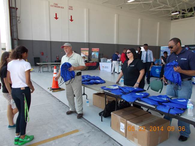
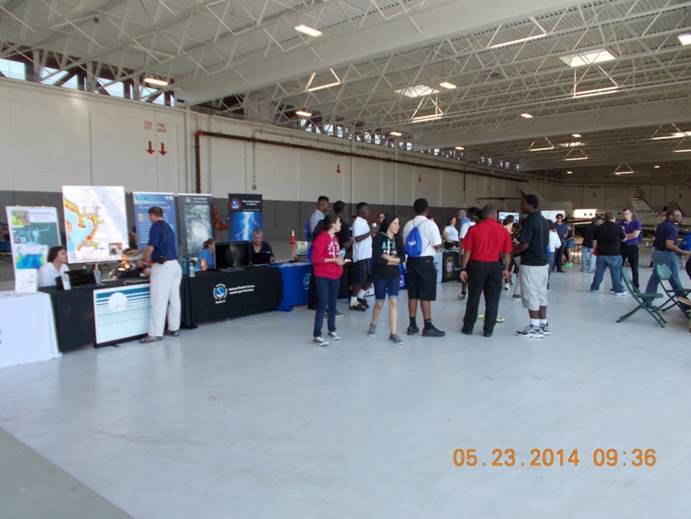
NWS public safety, preparedness, and response partners: If you are interested in participating with us in this important hurricane preparedness event by hosting a partner outreach exhibit or booth, please let us know. You would be required to bring everything you need, including any tables or chairs. For more information about registering for a partner's exhibit, please contact Chris Strong at the NWS Baltimore/Washington Forecast Office. The event runs from 9:30 AM until 5 PM on Tuesday, May 9, 2017. The booth or exhibit setup time will be from 8 AM until 9:30 AM. |


 Coastal Flood
 FAQ
FAQ