
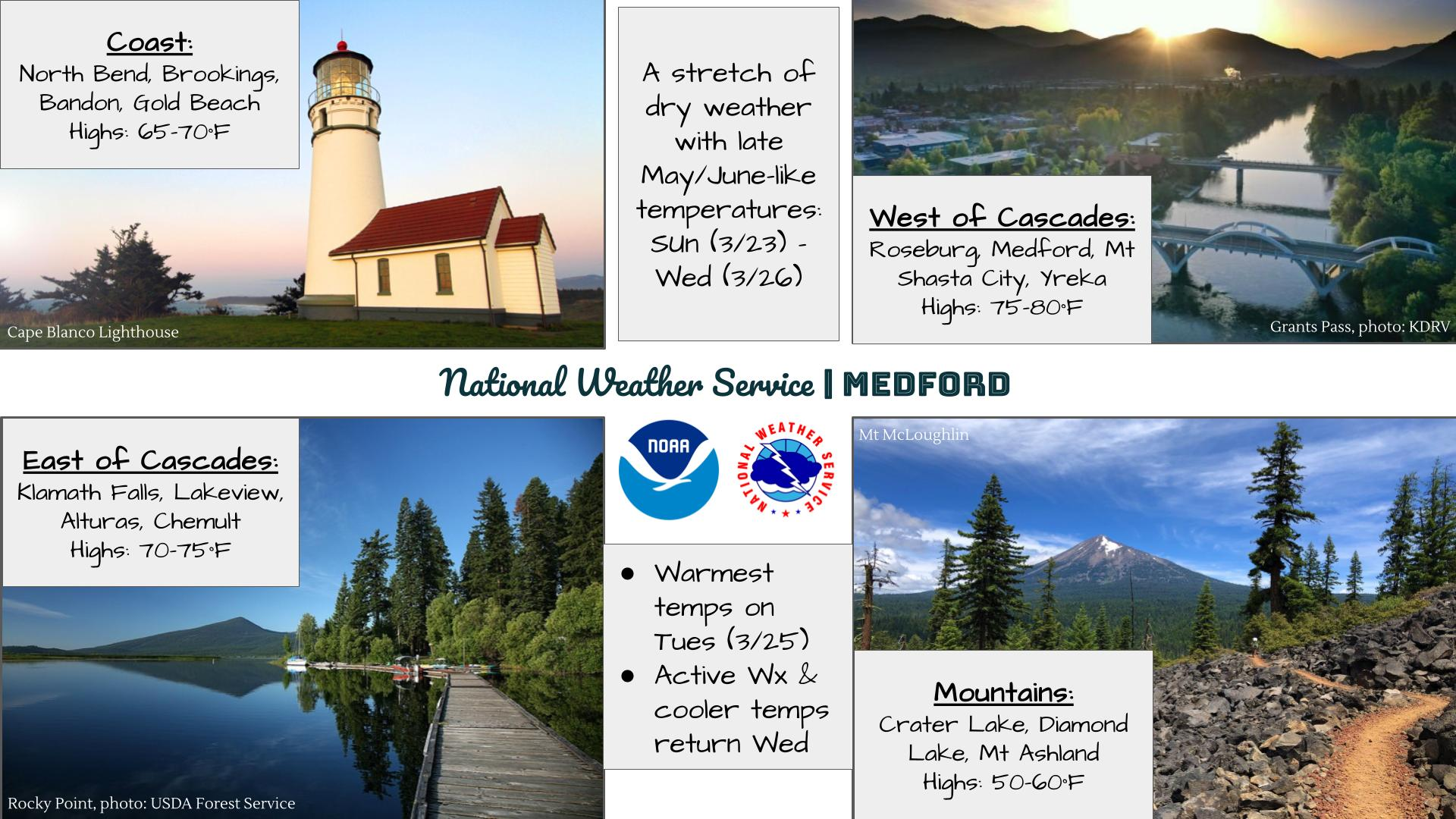
Extreme heat will continue across the Pacific Northwest into midweek before finally waning. Hot temperatures, low relative humidity, gusty winds, and isolated dry thunderstorms will bring critical fire weather into Tuesday. A refreshingly cool air mass has settled into much of the eastern two-thirds of the Rockies through the week. Read More >
Last Map Update: Mon, Aug 25, 2025 at 11:54:17 am PDT

|
Text Product Selector (Selected product opens in current window)
|
|


 Graphical Hazards Outlook
 RADAR and Satellite
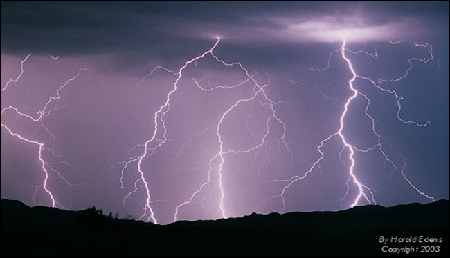 Lightning Climatology
 Precipitation Tracker
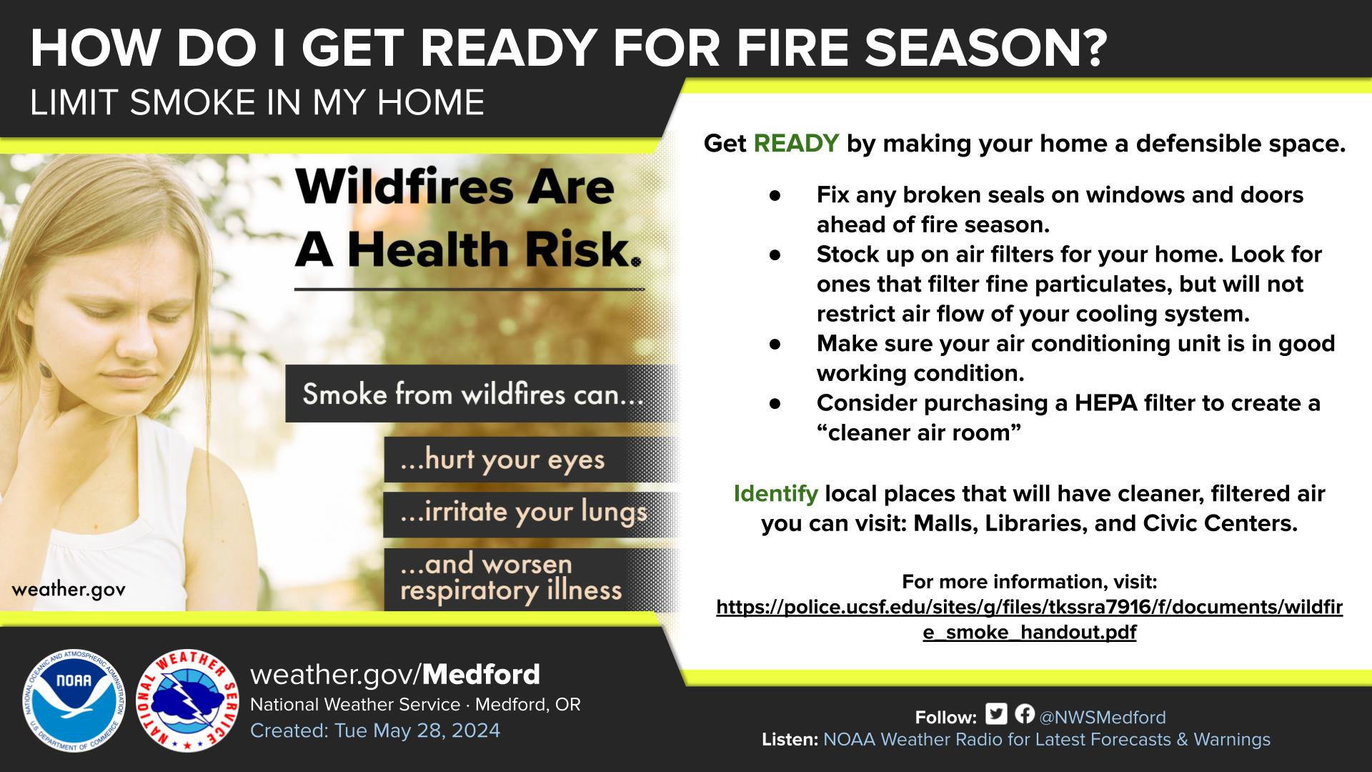
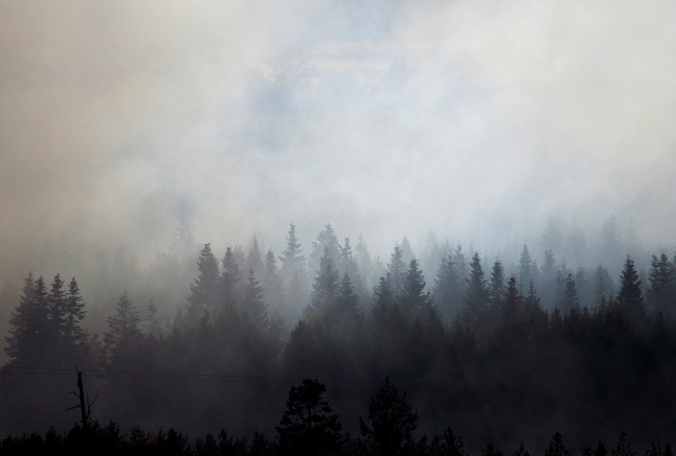 Wildfire Safety
 Forecast Discussion
 Avalanche Guidance
 NESDIS Geocolor
 Weather Map
 Forecast Weather Tables
 Marine
 Fire Weather
 Crater Chronicle and Monthly Climate Summaries
 GOES 18 Water Vapor Imagery
 Local Climate Data
 Alternate Point Forecast
 Smoke Forecast