National Weather Service United States Department of Commerce

Damage Photos from the '75 Omaha Tornado

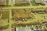
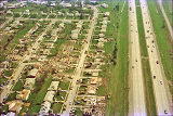
/images/oax/Archives/may1975/75dam9.jpg (83139 bytes)

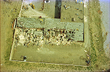
/images/oax/Archives/may1975/WestgateSchool.png

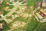
/images/oax/Archives/may1975/75dam11.jpg (82647 bytes)

/images/oax/Archives/may1975/creighton-prep.png


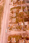
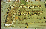
Apartment buildings on the west side of 72nd street, south of Pacific

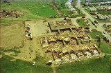
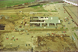
Westgate Elementary School

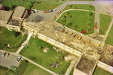
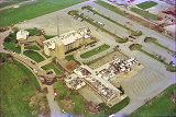
Bergan Mercy Hospital

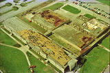
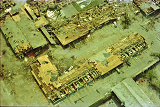
Creighton Prep School (72nd and Western)


/images/oax/Archives/may1975/Lewis-and-Clark-School.png

/images/oax/Archives/may1975/OmahaPlayhouse.png

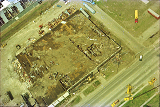
/images/oax/Archives/may1975/NebraskaFurnitureMart_looking_East.png

/images/oax/Archives/may1975/US-Post-Office.png

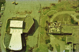
Lewis and Clark Junior High School Omaha Playhouse (left), Temple Israel (right) Nebraska Furniture Mart (looking east) U.S. Post Office south of Nebraska Furniture Mart (looking North)

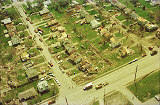
/images/oax/Archives/may1975/75dam17.jpg (93193 bytes) /images/oax/Archives/may1975/75dam18.jpg (95309 bytes) /images/oax/Archives/may1975/75dam19.jpg (84046 bytes) /images/oax/Archives/may1975/closeup-of-neb-furn-mart-roof.png
Destroyed Homes East of 72nd Street. Destroyed Homes in the Westgate Subdivision More Westgate Homes Destroyed Closeup of roof of Nebraska Furniture Mart

/images/oax/Archives/may1975/Westgate-By-I80.png

/images/oax/Archives/may1975/92nd-circle-and-Berry-St.png

/images/oax/Archives/may1975/72nd-and-seward.png

Westgate Subdivision by I80 92nd Circle and Berry St. 72nd and Seward

/images/oax/Archives/may1975/United-Methodist-Church.png

/images/oax/Archives/may1975/warehousebuilding-behing-NE-Furn-Mart.png

/images/oax/Archives/may1975/Downtowner.png (82058 bytes)

/images/oax/Archives/may1975/closeup-downtowner.png

The United Methodist Church near 72nd and Cass

Warehouse buildings Behind the Nebraska Furniture Mart (looking west)

Downtowner Motor Inn Looking north off of Dodge

Close-up Photo of the Downtowner Motor Inn


Back to the '75 Tornado Page