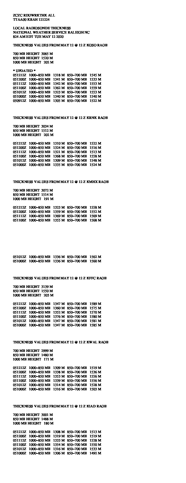
The data below is intended for use with the TREND technique which uses the Partial Thickness Predominant P-type Nomogram. A reference document which contains a thorough review of the TREND technique along with a discussion of the technique, how it is used, its limitations, along with a new method to visualize the nomogram is available at http://www4.ncsu.edu/~nwsfo/storage/trend/.
The Predominant P-Type TRENDs Nomogram Visualizer is available to provide users an easy to use, interactive reference for use with the Predominant P-Type TRENDs Nomogram.
The Nomogram plots are in the process of being tested.
The data provided should be used with caution.
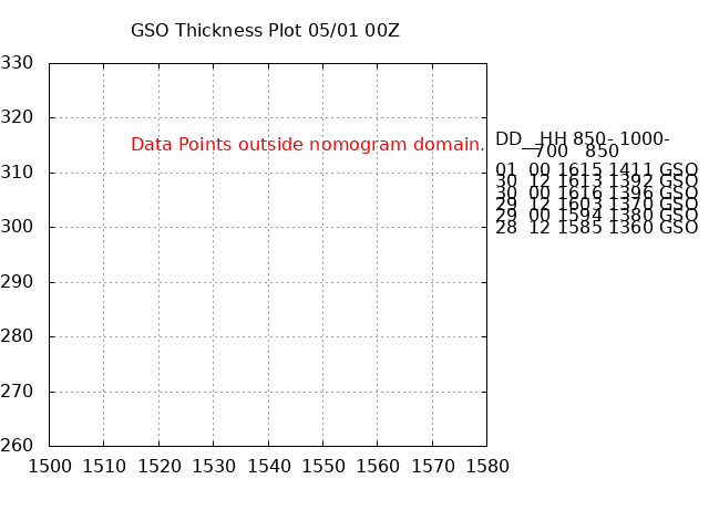
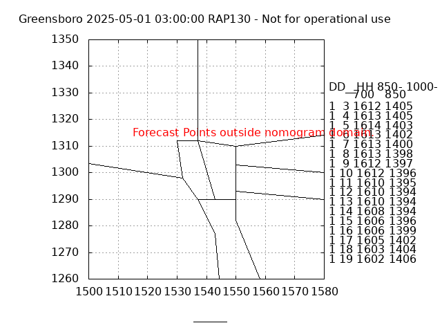
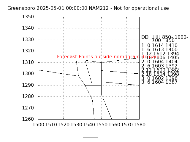
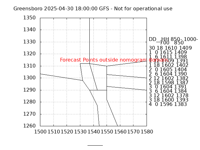
Text and Graphical Plots of Nomogram and Partial Thickness Data for Fixed Locations
Observed thickness values from KGSO, KRNK, KMHX, KFFC, KWAL, and KIAD Text product
Observed thickness values plotted on the Predominant P-Type TRENDs Nomogram GSO | RNK | MHX | FFC | WAL | IAD
|




 Radar
Radar Current Weather
 Rivers & Lakes
 Satellite
 Forecast Maps
 Hour by Hour Forecast
 Tropical Weather
 Graphical Hazards
 Climate Plots
 Fire Weather
 Heat Safety
 Drought Information
 Weather Hazard Briefing
 Statewide Maps
 Forecaster Discussion
 Text Bulletins
 SKYWARN
 Follow us on X
 Follow us on Facebook
 Follow us on YouTube
 RAH RSS Feed