The NWS office in Raleigh provides spot forecasts for any wildfire within our county warning area (scroll down to Spot Forecast Request Form). For prescribed burns, requests will only be honored from federal agencies. Our office also provides a Fire Weather Forecast for our county warning area. Details about our fire weather program can be found in our Fire Weather Operating Plan.
Latest SPOT Forecast - Text Format (Use above link to SPOT Forecast Request Form for complete data)
GOES satellite lightning density (Check time on data - from third party so data may not be current)
NOTE: Due to satellite angle (parallax error), lightning plot may be offset from actual location


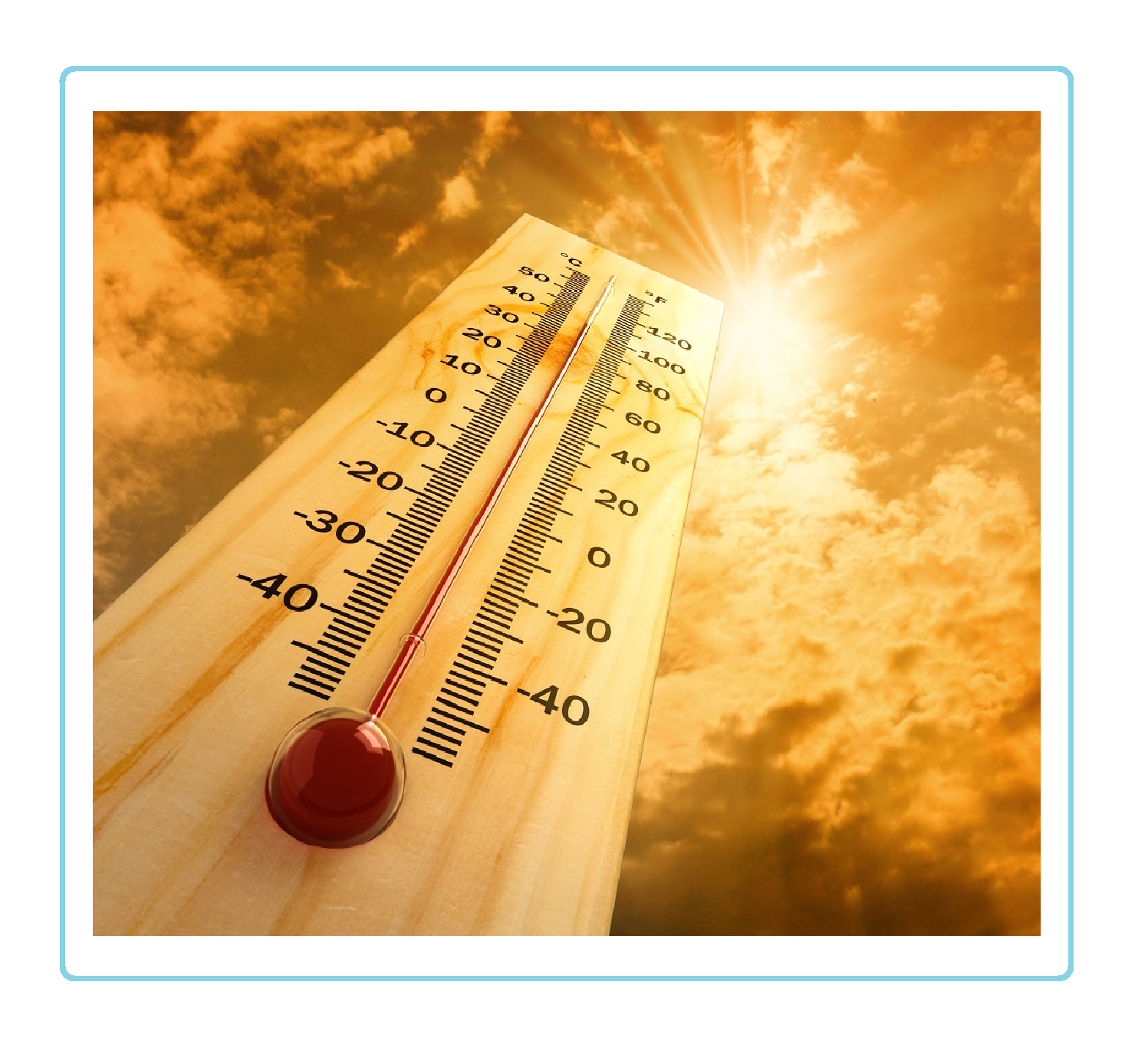 Heat Safety
 Statewide Maps
 Forecaster Discussion