Raleigh, NC
Weather Forecast Office
|
||||||||||||||||||||||||||||||||||||||||||||||||||||||||||||||||||||||||||||||||||||||||||||||||||||||||||||||||||||||||||||||||||||||||||||||||||||||||||||||||
NOAA Weather Radio
More Info/ Outages
Local NWR Information
Past Weather Info
Past Event Case Studies
Monthly Climate Summaries
Tropical Cyclone Reports
Model Data
NCEP Models
Reflectivity Forecasts
MOS Data
TRENDs Nomogram
Bufkit Data
Weather Models Info (pdf)
US Dept of Commerce
National Oceanic and Atmospheric Administration
National Weather Service
Raleigh, NC
1005 Capability Drive, Suite 300
Centennial Campus
Raleigh, NC 27606-5226
(919) 326-1042
Comments? Questions? Please Contact Us.


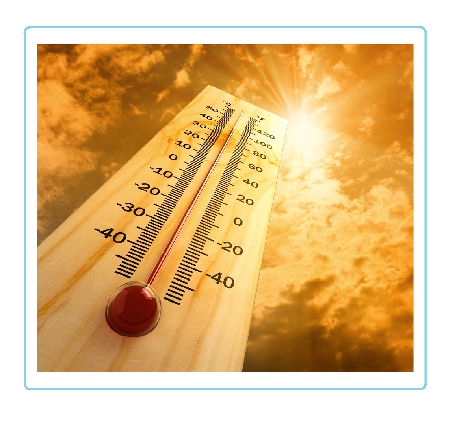 Heat Safety
 Statewide Maps
 Forecaster Discussion