Overview
|
A weakly unstable airmass amid strong vertical shear with a retreating wedge front allowed for a few storms to rotate. Only one storm produced a tornado near Gladesboro in Carroll County, VA, which rated as an EF-2. |
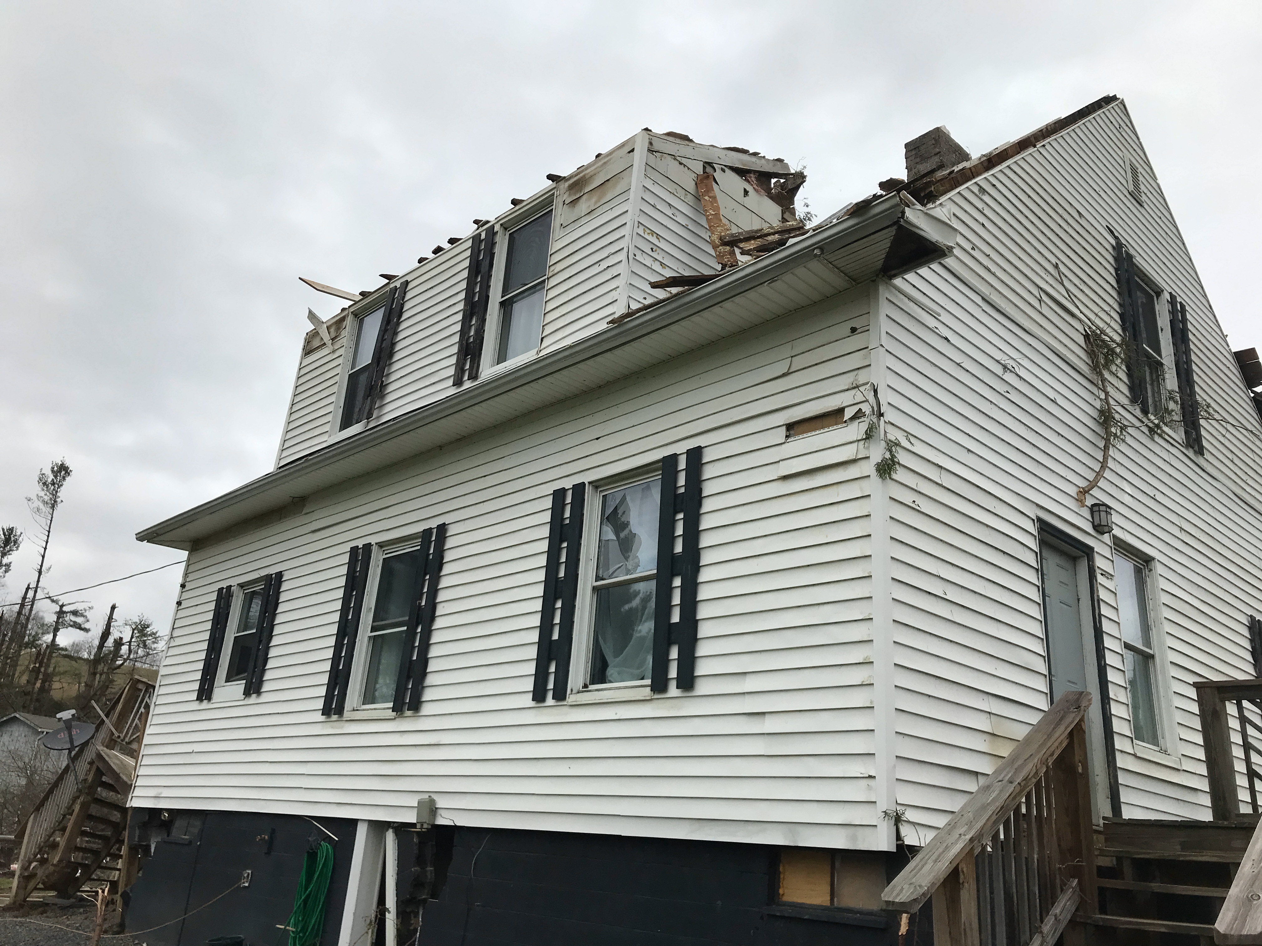 Roof torn off home along Gladesboro Road |
 |
 |
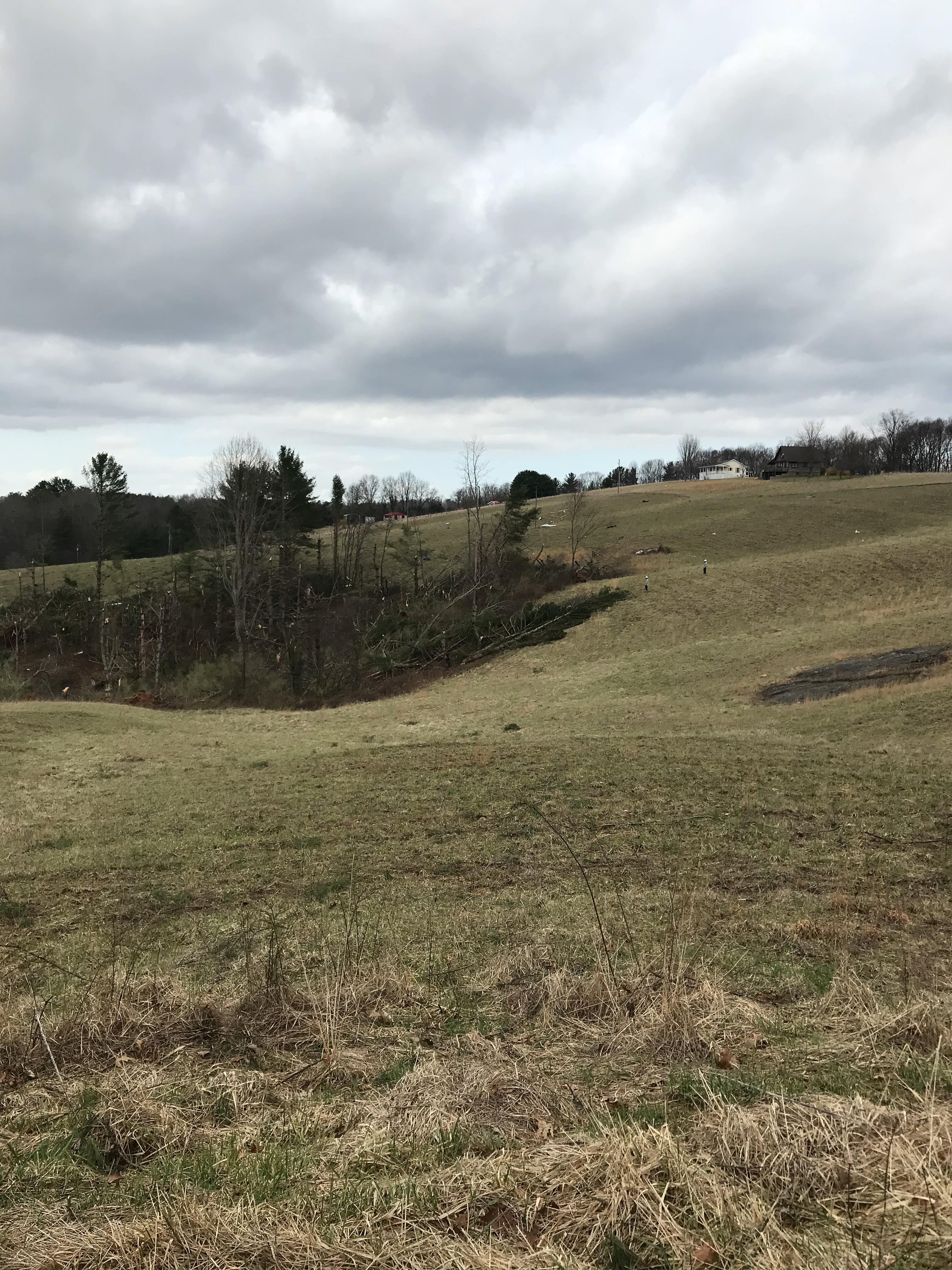 |
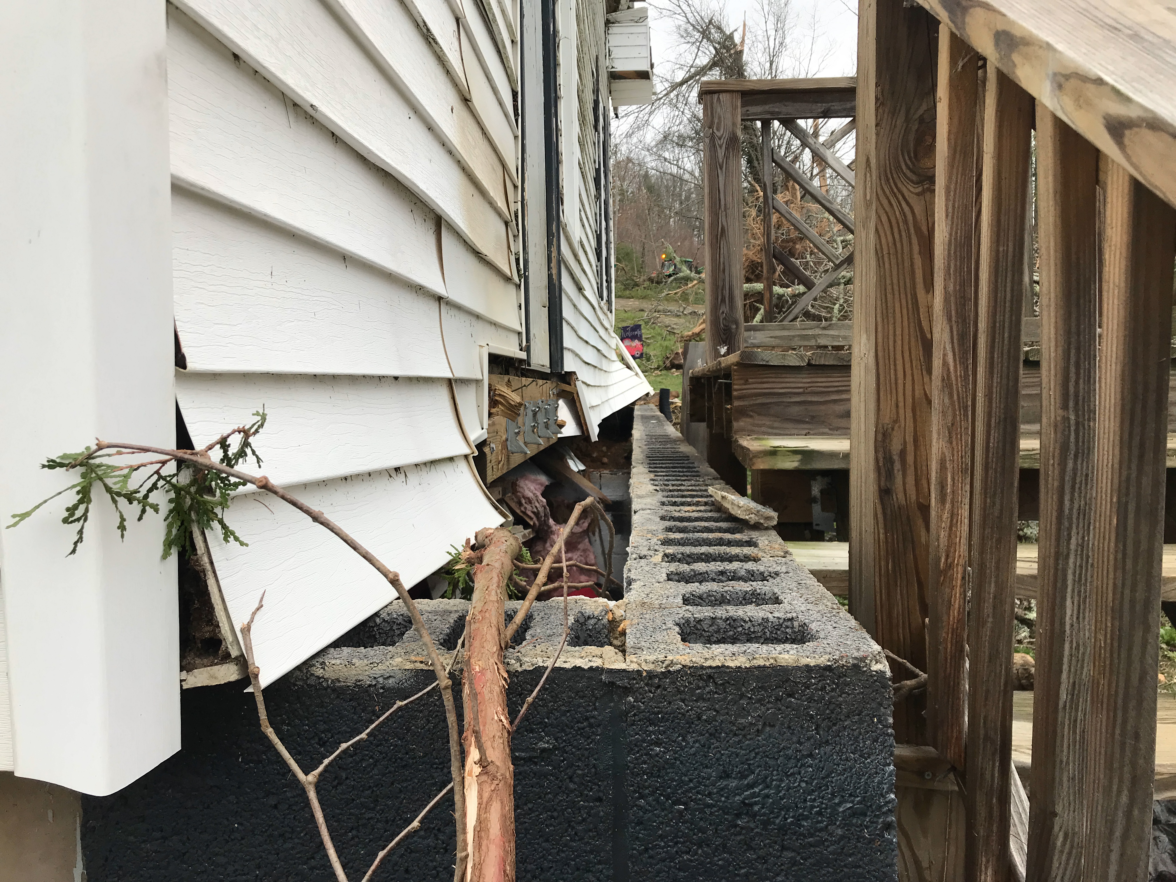
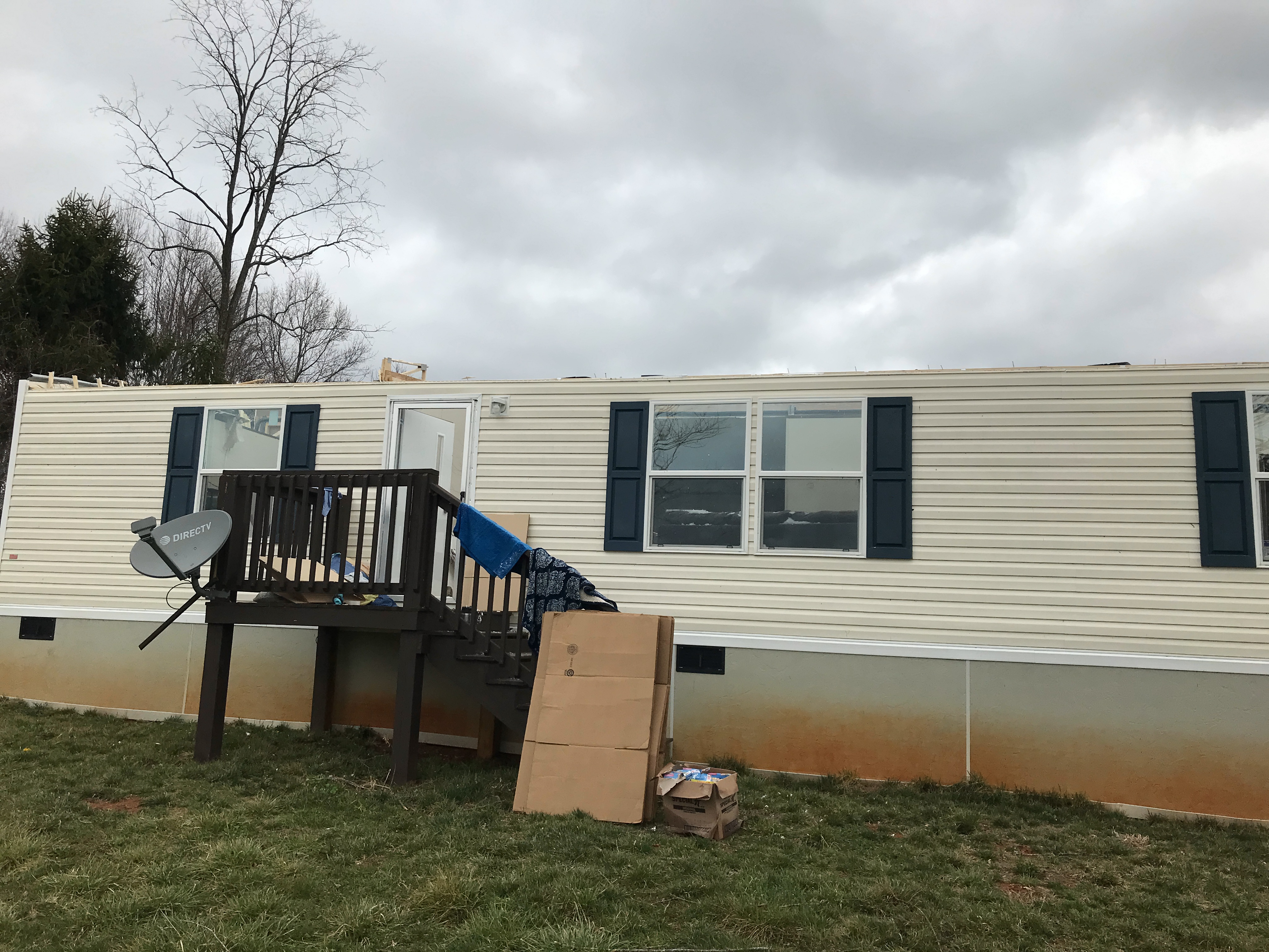
| Gladesboro Road home shifted off foundation | Roof torn off along Football Lane | Numerous trees down |
Tornadoes:
|
Tornado - LOCATION
Track Map 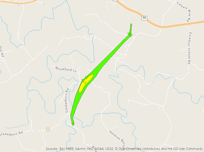 
Downloadable KMZ File |
||||||||||||||||
The Enhanced Fujita (EF) Scale classifies tornadoes into the following categories:
| EF0 Weak 65-85 mph |
EF1 Moderate 86-110 mph |
EF2 Significant 111-135 mph |
EF3 Severe 136-165 mph |
EF4 Extreme 166-200 mph |
EF5 Catastrophic 200+ mph |
 |
|||||
 |
Media use of NWS Web News Stories is encouraged! Please acknowledge the NWS as the source of any news information accessed from this site. |
|

