Wildfire smoke continues to impact air quality from the Great Lakes region into New England and the Mid-Atlantic today with widespread Air Quality Alerts in effect. Severe thunderstorms are expected across portions of the Ohio Valley and Lower Great Lakes into the Mid-Atlantic and Northeast, this afternoon into the evening. Monsoonal thunderstorms may bring areas of flooding to the Southwest. Read More >
Shreveport, LA
Weather Forecast Office
| Overview | |||||||||||||||||
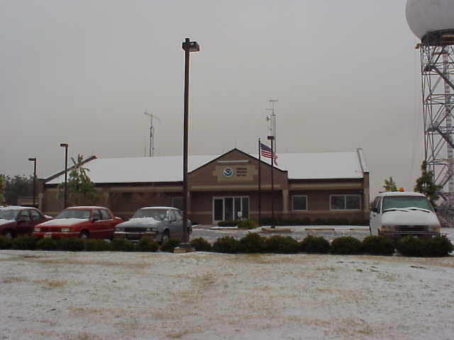
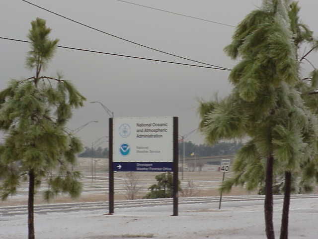
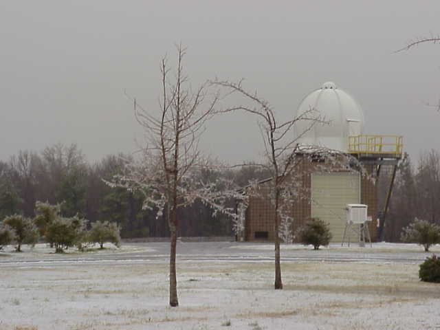
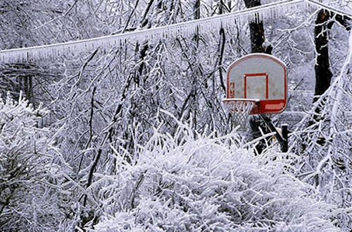
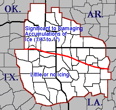
| A devastating freezing rain/ice storm event struck Northeast Texas, Southwest Arkansas, and Southeast Oklahoma on December 25-26, 2000. This storm caused widespread power outages and travel problems. At one point, much of the city of Texarkana was without power, telephone, and water. Ice accumulations were estimated by observes to be as much as an inch in Southwest Arkansas. There was a very narrow (about 20 miles) zone where conditions progressed from no icing to significant icing across Northeast Texas and Northern Louisiana. | |||||||||||||||||
| Photos and Graphics | |||||||||||||||||
|
|||||||||||||||||
|
|||||||||||||||||
| Back to Top | |||||||||||||||||
Current Hazards
Local
National
Outlooks
Submit Storm Report
Hazards Outlook
Radar Imagery
Nationwide
Shreveport, LA (SHV) Standard Radar
Fort Polk, LA (POE) Standard Radar
Forecasts
Local Forecast Info
Forecast Discussion
Graphical Forecasts
Tropical Weather
Fire Weather
Aviation Weather
Recreation Forecasts
Climate and Past Weather
Local Observed Reports
Climate Prediction
Local Data/Records
Storm Event Database
Past Events
Tropical Cyclone Reports
US Dept of Commerce
National Oceanic and Atmospheric Administration
National Weather Service
Shreveport, LA
5655 Hollywood Ave.
Shreveport, LA 71109
318-631-3669
Comments? Questions? Please Contact Us.