Scattered strong to severe thunderstorms may pose a risk for damaging wind gusts over the Carolinas, southeast Virginia, and the Tennessee Valley Sunday afternoon then the northern Plains from late afternoon into Sunday night. Monsoonal thunderstorms may cause locally considerable flash, urban, and small stream flooding in the Southwest U.S. the next few days. Read More >
| Overview | ||||||||||||||||||||||||||||||||||||||||||||||||||||||||||||
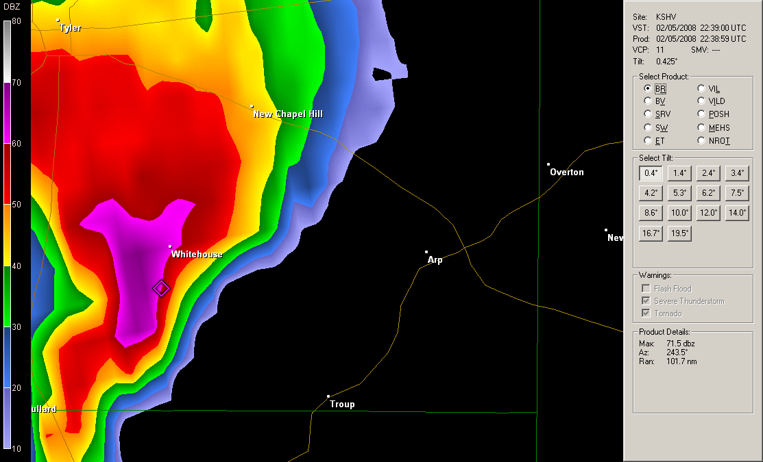
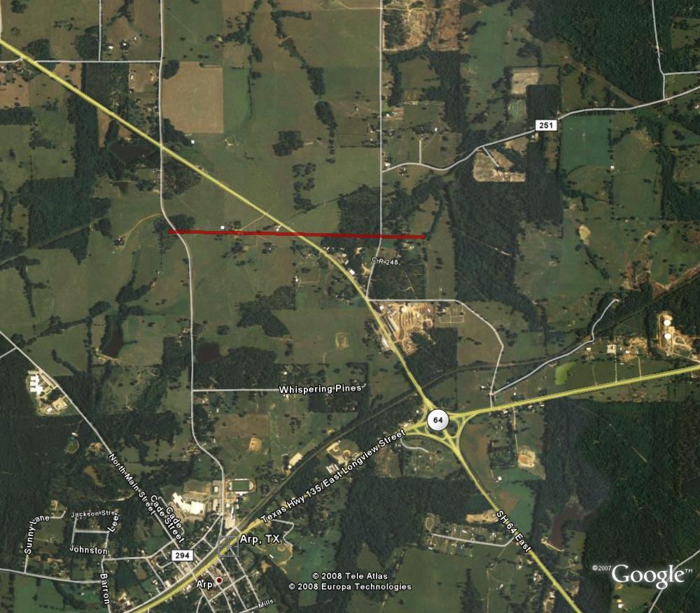
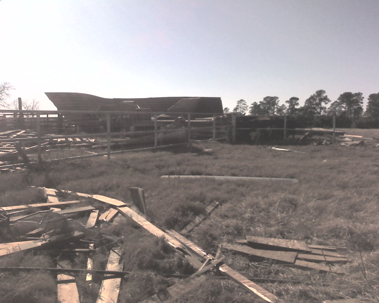
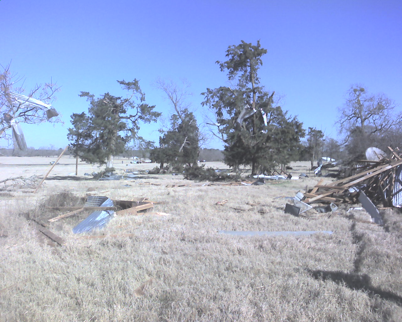
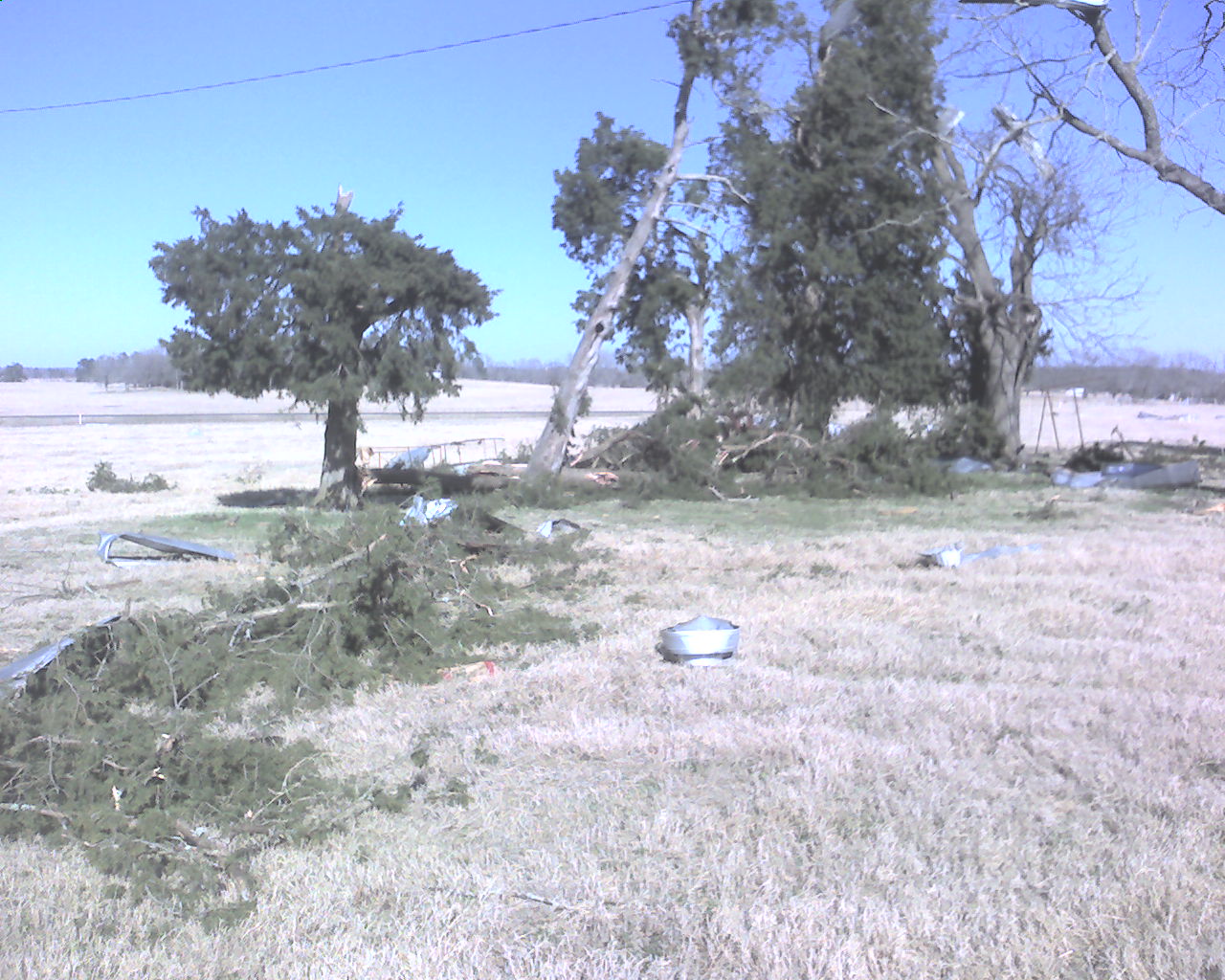
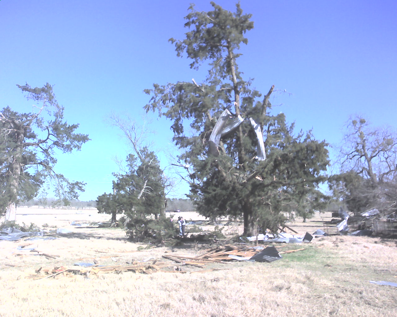
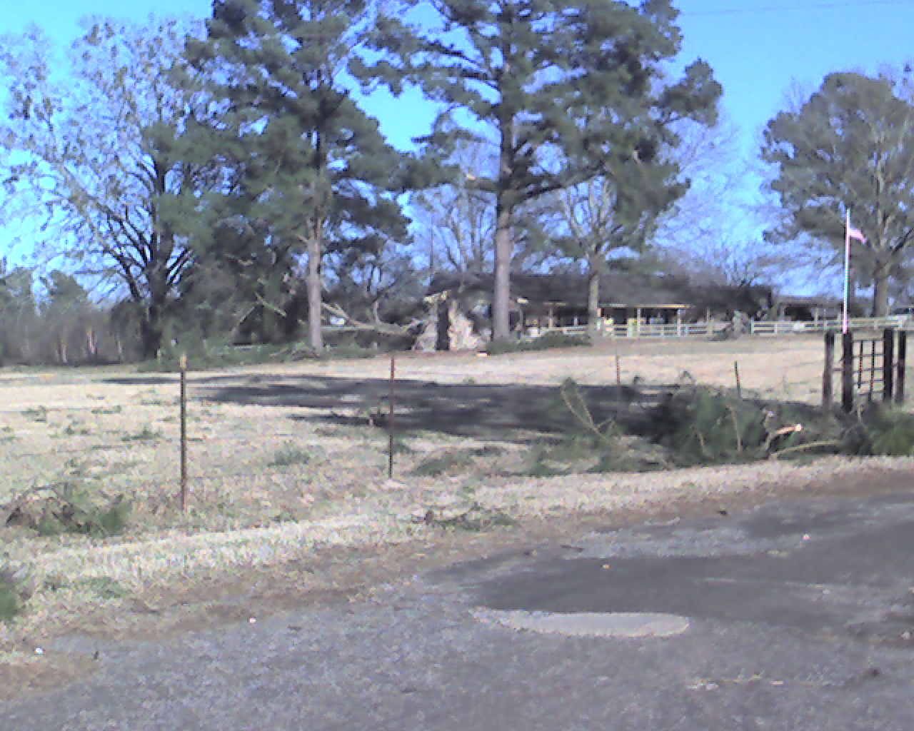
| The National Weather Service conducted a damage survey in an around the Arp, TX, area on Wednesday February 6th, 2008. The result of the damage survey show that an EF1 tornado with winds of 90-100 mph touched down 1 mile northeast of Arp and traveled along a path approximately 100 yards wide and 1 mile long. | ||||||||||||||||||||||||||||||||||||||||||||||||||||||||||||
|
TOTAL TORNADO COUNT = 1
|
||||||||||||||||||||||||||||||||||||||||||||||||||||||||||||
|
Tornado Table
Graphics
Photos
|
||||||||||||||||||||||||||||||||||||||||||||||||||||||||||||
| Back to Top | ||||||||||||||||||||||||||||||||||||||||||||||||||||||||||||