Wildfire smoke continues to impact air quality from the Great Lakes region into New England and the Mid-Atlantic today with widespread Air Quality Alerts in effect. Severe thunderstorms are expected across portions of the Ohio Valley and Lower Great Lakes into the Mid-Atlantic and Northeast, this afternoon into the evening. Monsoonal thunderstorms may bring areas of flooding to the Southwest. Read More >
| Overview | ||||||||||||||||||||||||||||||||||||||||||||||
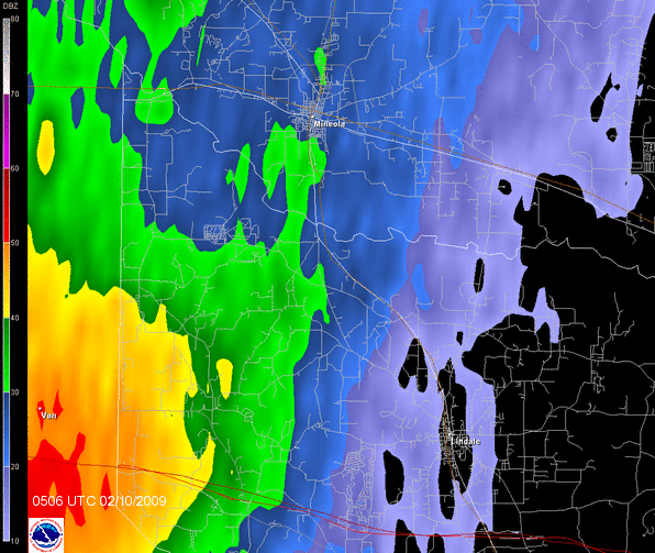
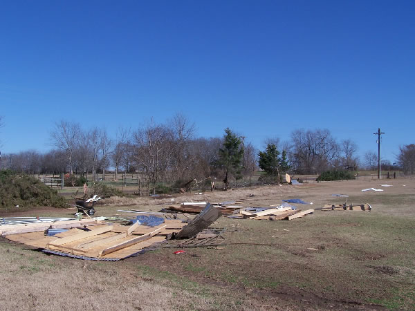
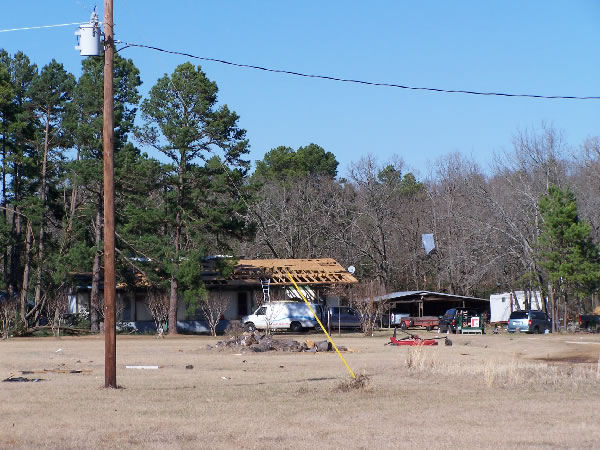
| A storm survey conducted in Smith and Wood Counties confirmed that damage, which occurred on February 10th, 2009, was the resulted of an EF1 tornado, with maximum winds of 85 to 90 mph. The National Weather Service would like to thank the media and officials from both the city of Tyler and from Wood County. Thanks also go to local residents for their assistance and stories during the survey. | ||||||||||||||||||||||||||||||||||||||||||||||
|
TOTAL TORNADO COUNT = 1
|
||||||||||||||||||||||||||||||||||||||||||||||
|
Tornado Table
Graphics
Photos
Damage Map


|
||||||||||||||||||||||||||||||||||||||||||||||
| Back to Top | ||||||||||||||||||||||||||||||||||||||||||||||