National Weather Service United States Department of Commerce

Severe Thunderstorms in Northwest Texas; Dry Conditions and Gusty Winds Across Colorado

A few severe thunderstorms capable of producing large hail and gusty winds will be possible this afternoon and evening across northwest Texas. Dry conditions and gusty winds will persist across southern Colorado today. Read More >

Overview

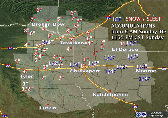
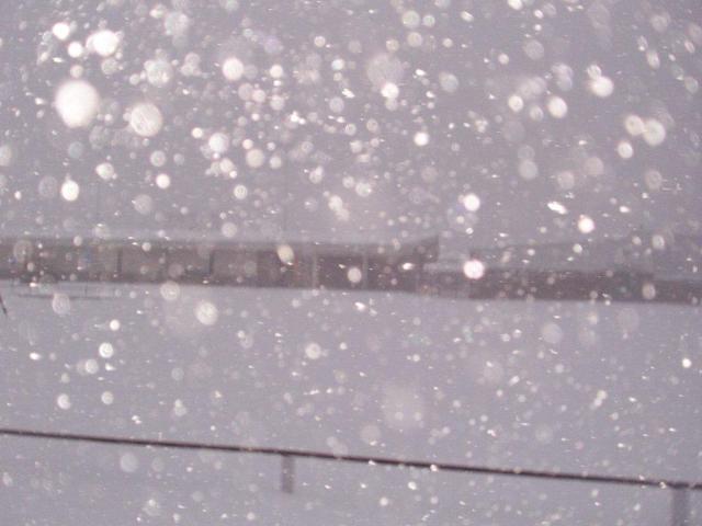
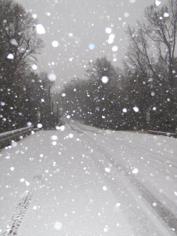
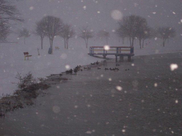
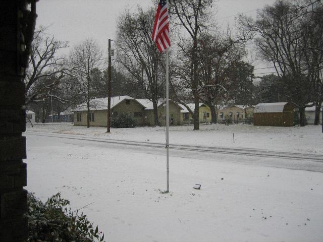
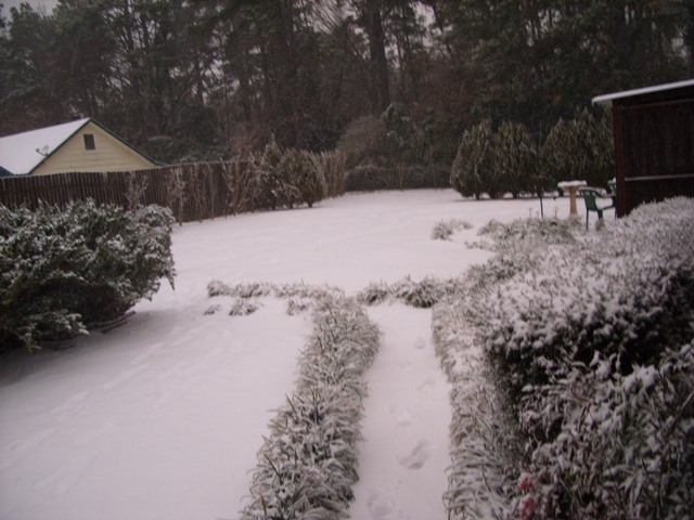
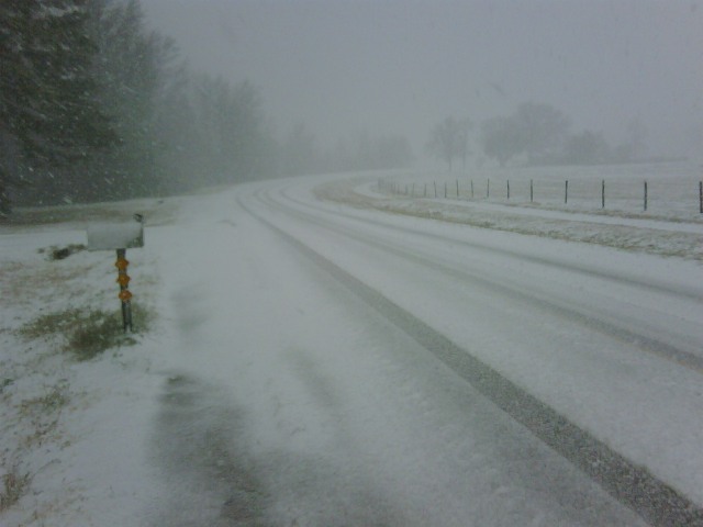
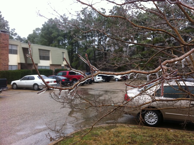
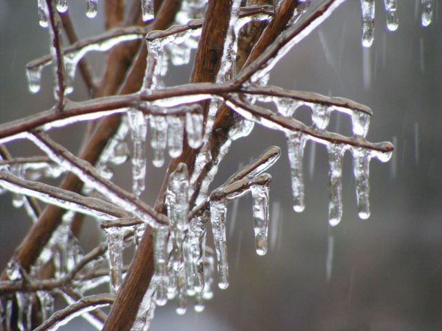
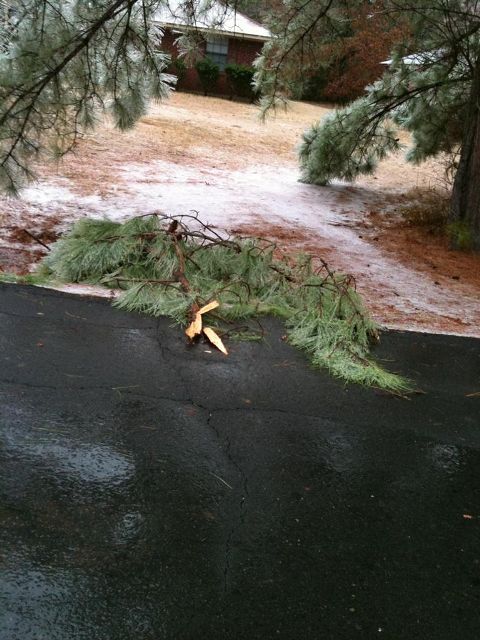
A strong winter storm moved into the region on January 9th, 2011. This storm dropped freezing rain, sleet, and snow across areas generally along and north of the Interstate 20 corridor. Ice/sleet accumulations ranged from a trace up to over 1/2" in some locations. Some power outages were reported from not only the ice but also the heavy wet snows, which totals 8 inches across portions of Northeast Texas and Southwest Arkansas.

Several counties and parishes along and either side of Interstate 20 reported accumulations of one-quarter to one-half inch of freezing rain and one-half to one inch of sleet. These ice accumulations resulted in:

  • Numerous reports of down power lines and power outages across the region.
  • Numerous downed trees and tree branches which were weighed down by ice.
  • Numerous auto accidents occurred across the four state region. Several highways and overpasses were also closed due to icing. Two fatalities occurred in North Louisiana from the icy roads, and one injury was reported.
 
Snow Accumulations from January 9, 2011
ARKANSAS
LOCATION AMOUNT
Ashdown 8 inches
Dierks 8 inches
Nashville 7 inches
Umpire 6 inches
Hope 6 inches
6 miles N of Lewisville 6 inches
Texarkana, AR 6 inches
De Queen 5 inches
Tollette 5 inches
Lewisville 4 inches
Magnolia 2 inches
LOUISIANA
Benton 1 inch
Bossier City 1 inch
Shreveport 1 inch
Springhill 1 inch
OKLAHOMA
Battiest 6 inches
Idabel 6 inches
3 miles W of Valliant 5 inches
 
Snow Accumulations from uary 3-4, 2011
TEXAS
LOCATION AMOUNT
Detroit 8 inches
New Boston 7 inches
Clarksville 6 inches
DeKalb 6 inches
Mineola 5 inches
Mount Pleasant 5 inches
Atlanta 4 inches
Daingerfield 4 inches
Jefferson 4 inches
Mount Vernon 4 inches
Carthage 3 inches
Gilmer 3 inches
Longview 3 inches
Marshall 3 inches
Pittsburg 3 inches
Tyler 3 inches
Henderson 2 inches
Jacksonville 1 inch
Rusk Less than 0.5 inch
 
Map of ice and snowfall accumulation reports
Reported ice and snowfall accumulations from across the region. Snow is in red, and ice is in blue.
 
6 to 7 inches of snow in Texarkana
6 to 7 inches of snow fell across portions of Bowie County, including Texarkana. This is a picture of Liberty-Eula Jr. High School during the snow.
 
Heavy snow falling in Texarkana
Picture of the heavy snow falling in the Texarkana area. Photo courtesy of Dave Hall.
 
Snow falling Texarkana
Another picture of the snow in Texarkana. Photo courtesy of Dave Hall.
 
 
5 inches of snow fell in De Kalb
5 inches of snow was reported in DeKalb. Picture courtesy of Richard Engle.
 
4 inches of snow fell in Cass County
Around 4 inches was reported throughout Cass County. This picture was taken in the Atlanta, TX, area and is courtesy of Jason Patterson.
 
Snow in Upshur County
Around 3 inches of snow fell across portions of Camp and Upshur Counties in Northeast Texas. This photo is courtesy of Doyce Winchester.
 
Snow along the shores of Lake Palestine in Smith County
Snow fell along the shores of Lake Palestine in southwest Smith County, TX. This photo is courtesy of Ross Hays.
 
One-quarter to one-half inch of freezing rain fell in Ruston, LA
One-quarter to one-half inch of freezing rain fell across the I-20 corridor. This photo was taken in Ruston, LA, and is courtesy of Chris Barber.
 
Freezing rain accumulations in Minden, LA
Freezing rain covers the branches of a Crepe Myrtle bush in Minden, LA. This photo is courtesy of the Parks Family.
 
Ice accumulations knocked down trees in Benton, LA
Ice knocked down trees and tree branches across the Four State Region. Ice took down this branch near Benton, LA.