Flash flooding threatens areas from the Tennessee Valley to the Carolinas as storms repeat along a stalled front. Monsoonal storms may trigger flooding in the Southwest. Dangerous heat expands across the Desert Southwest, Plains, mid-Mississippi Valley and Southern Tier. Critical fire weather for interior Pacific Northwest. Cooler, drier air brings brief relief to the Great Lakes and Northeast. Read More >
| Overview | |||||||||||||||||||||||||||||||||||||||||||||||||||||||||||
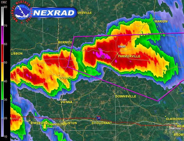
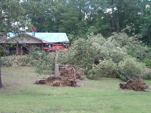
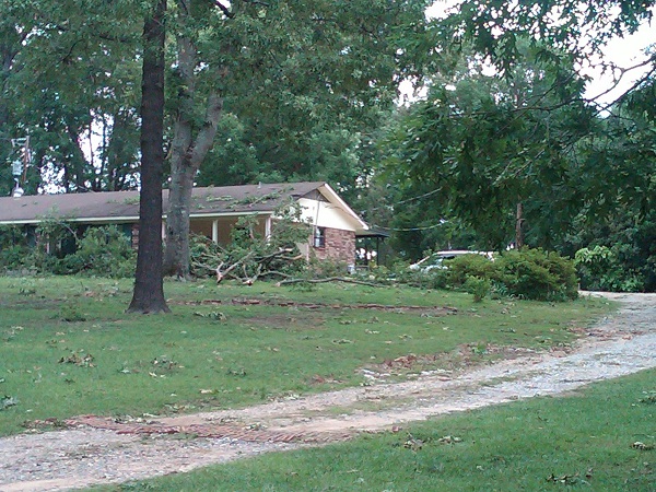
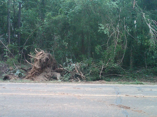
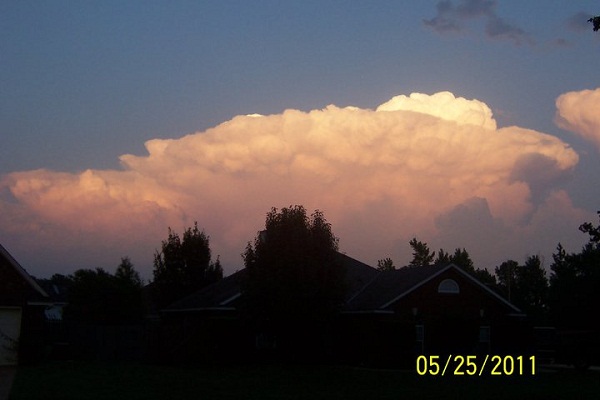
| May 25, 2011, marked the end of another tornado outbreak across the Central United States. Fortunately, there were only a few reported tornadoes in the four state region. Two tornadoes touched down in Farmerville LA within 15 minutes of each other. Other reports of trees down and up to golf ball-sized hail were reported across north LA including the Natchitoches LA area later in the evening between 9 and 10 pm. | |||||||||||||||||||||||||||||||||||||||||||||||||||||||||||
|
TOTAL TORNADO COUNT = 2
|
|||||||||||||||||||||||||||||||||||||||||||||||||||||||||||
|
Tornado Table
Graphics & Photos
Damage Map
Coming Soon |
|||||||||||||||||||||||||||||||||||||||||||||||||||||||||||
| Back to Top | |||||||||||||||||||||||||||||||||||||||||||||||||||||||||||