Dangerous, record-breaking heat will intensify across most of the central and eastern U.S this week. Heat indices will likely exceed 100 degrees. Heat is likely to continue across the eastern U.S. through the Independence Day holiday weekend. Critical fire weather conditions will continue today and likely Tuesday across portions of the Four Corners and northern High Plains. Read More >
| Overview | ||||||||||||||||||||||||||||
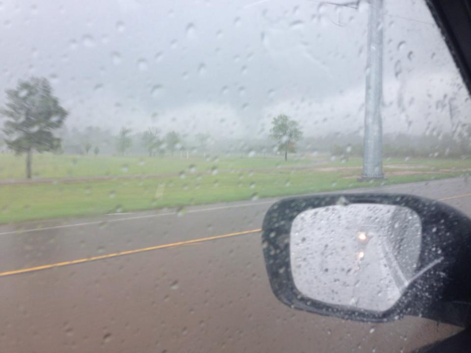
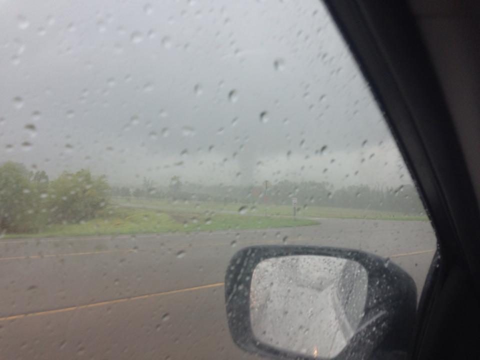
| Thunderstorms developed over Northeast Texas during the afternoon of April 13, 2014. Damage was reported near Pittsburg, TX. A survey team from the National Weather Service office in Shreveport investigated the damage and viewed video taken by a bank security camera. The team determined that an EF0 tornado occurred just north of Pittsburg. Estimated peak wind speeds were around 70-75 mph. | ||||||||||||||||||||||||||||
|
TOTAL TORNADO COUNT = 1
|
||||||||||||||||||||||||||||
|
Tornado Table
Photos
Damage Map
Coming Soon! |
||||||||||||||||||||||||||||
| Back to Top | ||||||||||||||||||||||||||||