National Weather Service United States Department of Commerce

5 am ET Tropical Storm Bertha Update The main impacts across the northeast Gulf Coast will continue to revolve around bands of gusty showers with a brief tropical storm gust of up to 40 mph. Tropical downpours could lead to isolated instances of flooding in urban areas. High surf and rip current risks continue through at least Thursday.
Water around the time of high tide could flood low-lying parks and roads along the immediate coast of the Panhandle and Big Bend this morning.
Gusty winds along Walton, Bay, Gulf, Franklin, and Wakulla County coastlines continue into the afternoon with south winds around 20 to 30 mph and occasional gusts of 35 to 40 mph.
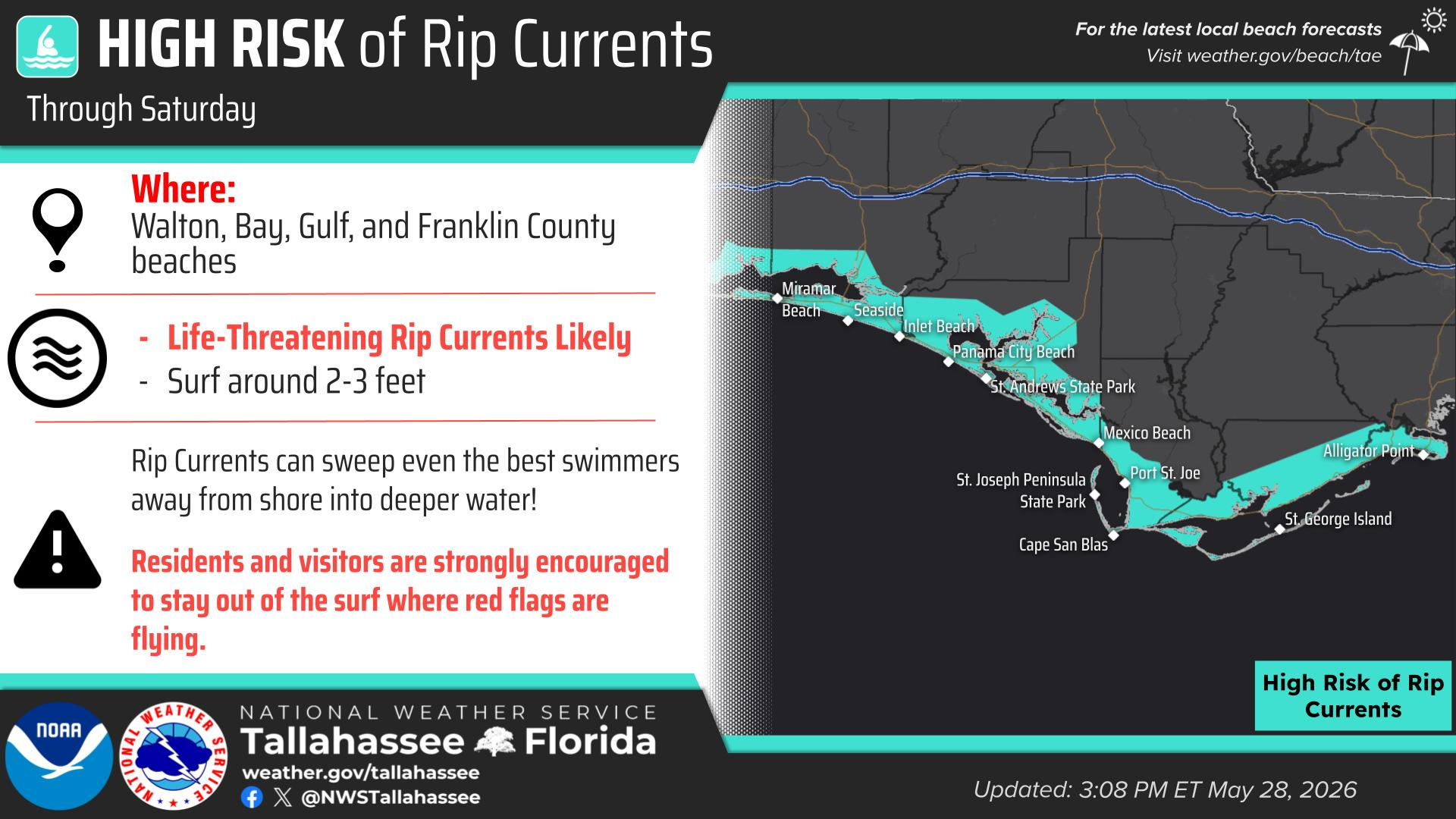
High surf conditions continue throughout the day. Surf heights of 4 to 9 feet are expected across the Panhandle with lower heights of 3 to 5 feet across the Forgotten Coast from today into Thursday. This will also lead to numerous dangerous and life-threatening rip currents. Please look for and follow local beach flag recommendations. It's highly recommended to stay out of the water through this period.
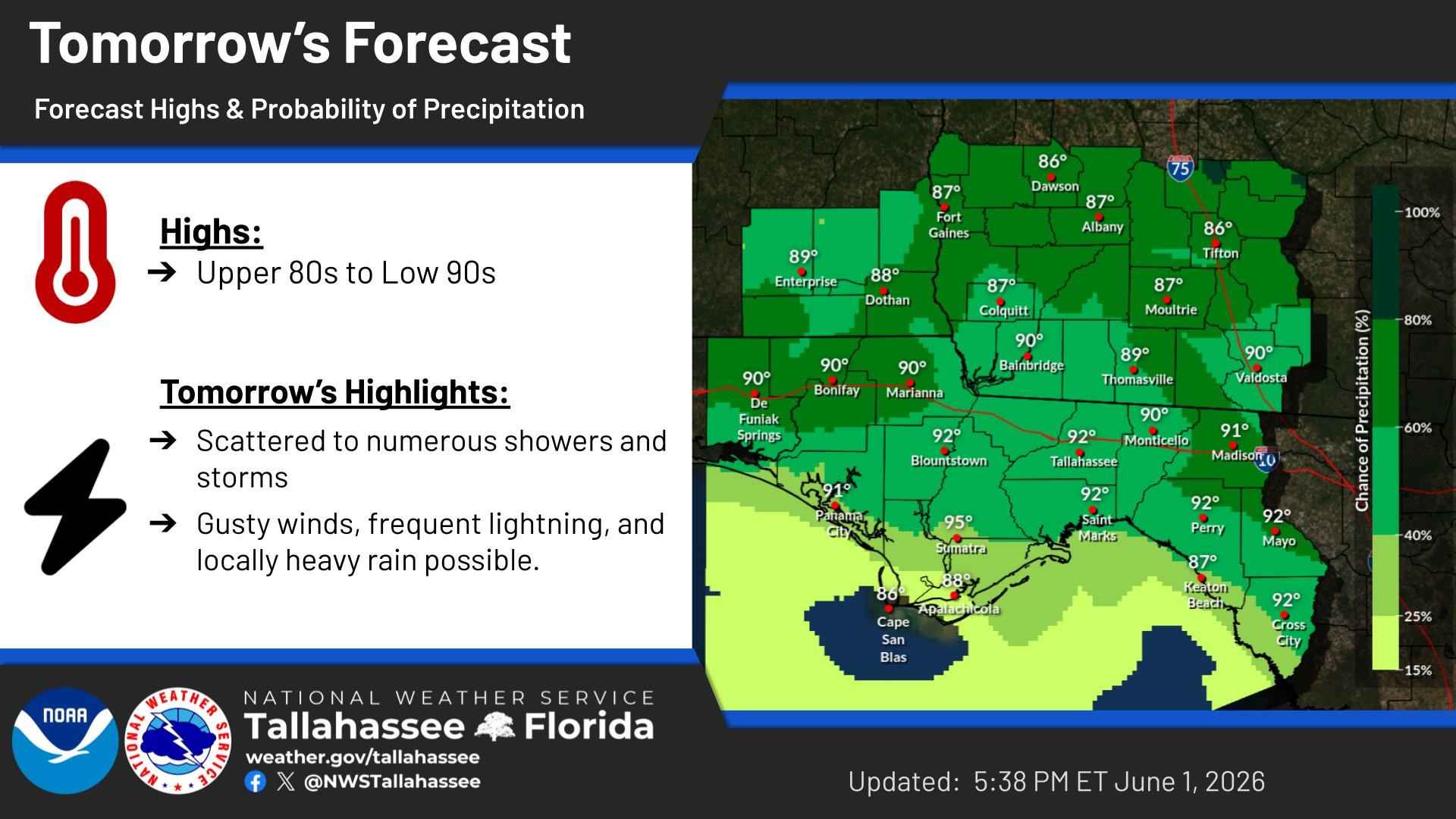
Forecast high temperatures and probability of precipitation for today.


Text Product Selector