Florida Tropical Training (2021)
The National Weather Service Offices that cover Florida offered tropical training sessions for emergency managers and the media during the week of May 17. This training covered information from the National Hurricane Center and the Florida Division of Emergency Management, in addition to the four main hazards associated with tropical systems.
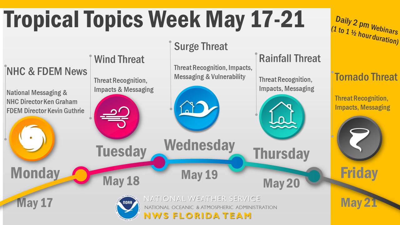
 Monday, May 17, 2021, 2-3 pm - NHC and FDEM News (Recording | NHC Presentation PDF | FDEM Presentation PDF) Monday, May 17, 2021, 2-3 pm - NHC and FDEM News (Recording | NHC Presentation PDF | FDEM Presentation PDF) |
|
| Conveying threats from storm surge, wind, rainfall, and tornadoes ahead of landfalling tropical storms and hurricanes can be quite challenging. Within the past few years, the NWS and NHC have introduced new Storm Surge Watches and Warnings, Key Messages, and timing graphics to assist emergency managers and the public in understanding the risk these storms pose. During this kick-off webinar of Tropical Topics Week, Kevin Guthrie (Director, Florida Division of Emergency Management), and Ken Graham (Director, National Hurricane Center) will discuss successes and lessons learned from the record-setting 2020 hurricane season. In addition, FDEM and NHC representatives will provide the latest news and updates on their respective agencies ahead of the 2021 hurricane season. | |
 Tuesday, May 18, 2021, 2-3 pm - Wind Threat (Recording | Wind Presentation PDF) Tuesday, May 18, 2021, 2-3 pm - Wind Threat (Recording | Wind Presentation PDF) |
|
The National Hurricane Center provides forecasts of hurricane and tropical storm position, maximum wind, and storm size. Subsequently, local National Weather Service forecast offices then provide more detailed wind forecasts for respective areas of responsibility, as well as assessments of the wind threat. This session describes, in general terms, how local wind and wind gust forecasts are refined, along with considerations for associated forecast uncertainties. Then, techniques for assessing the local wind threat and related potential impacts will be presented. The effective means for messaging the tropical wind hazard will also be explored. |
|
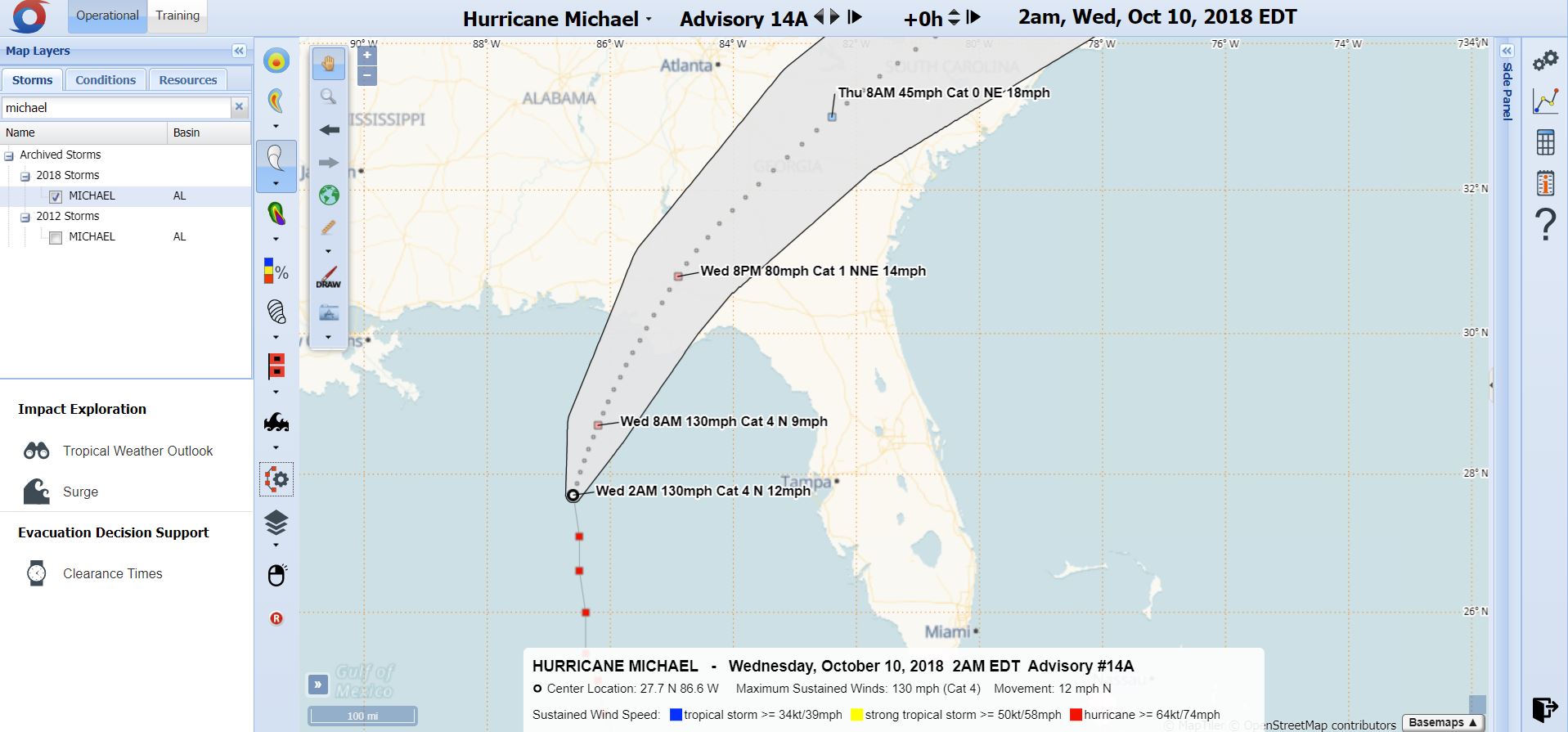
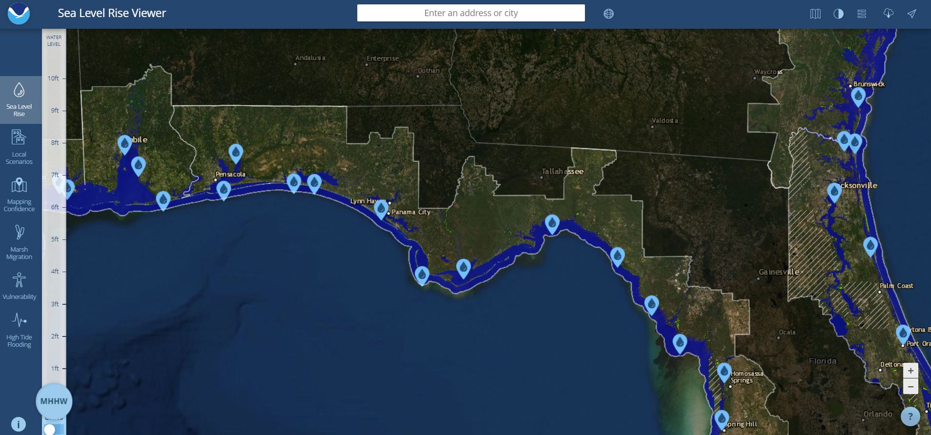
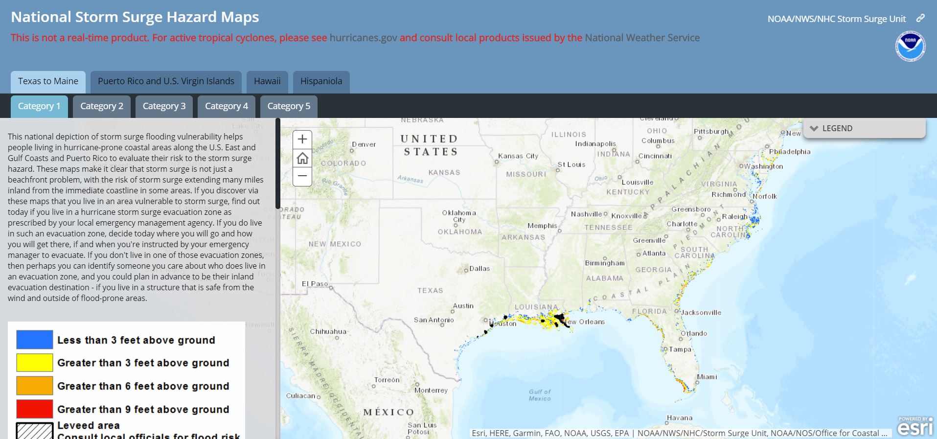
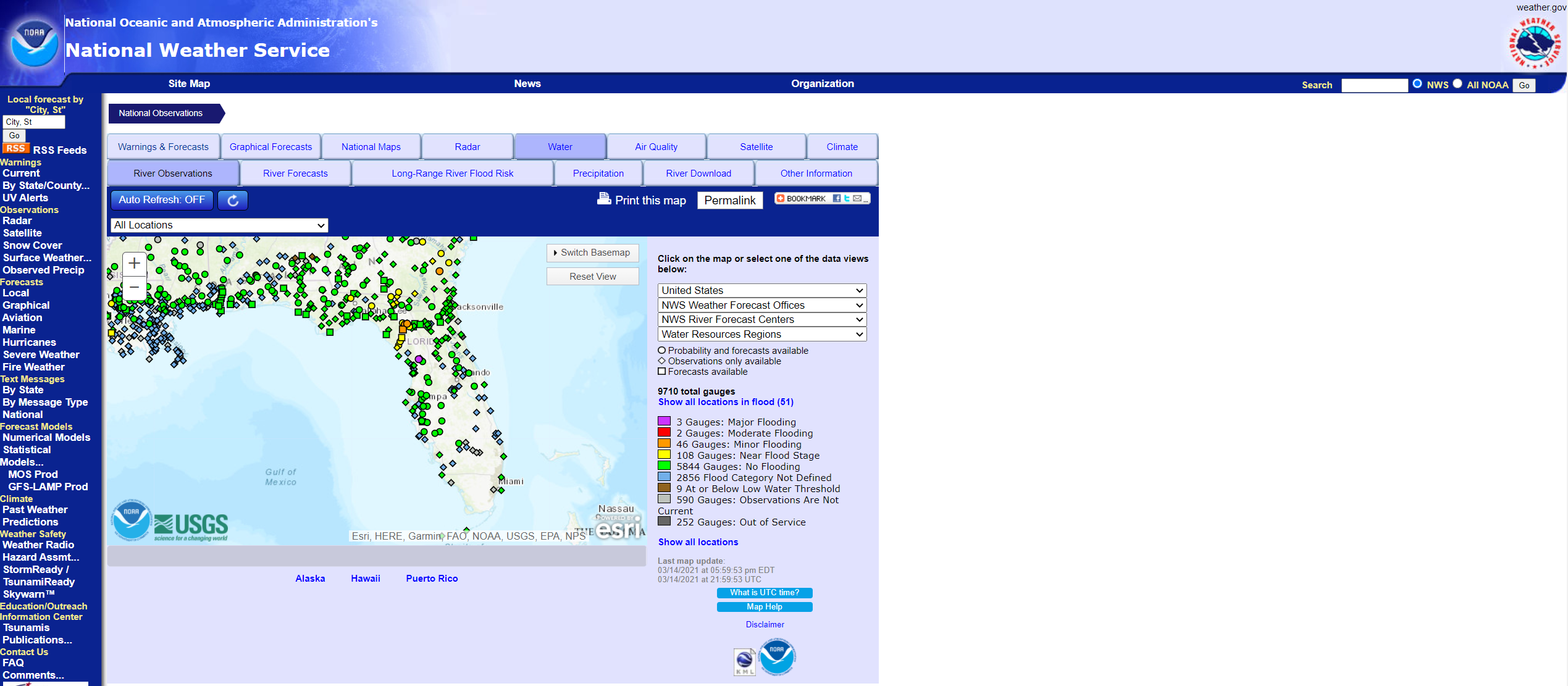
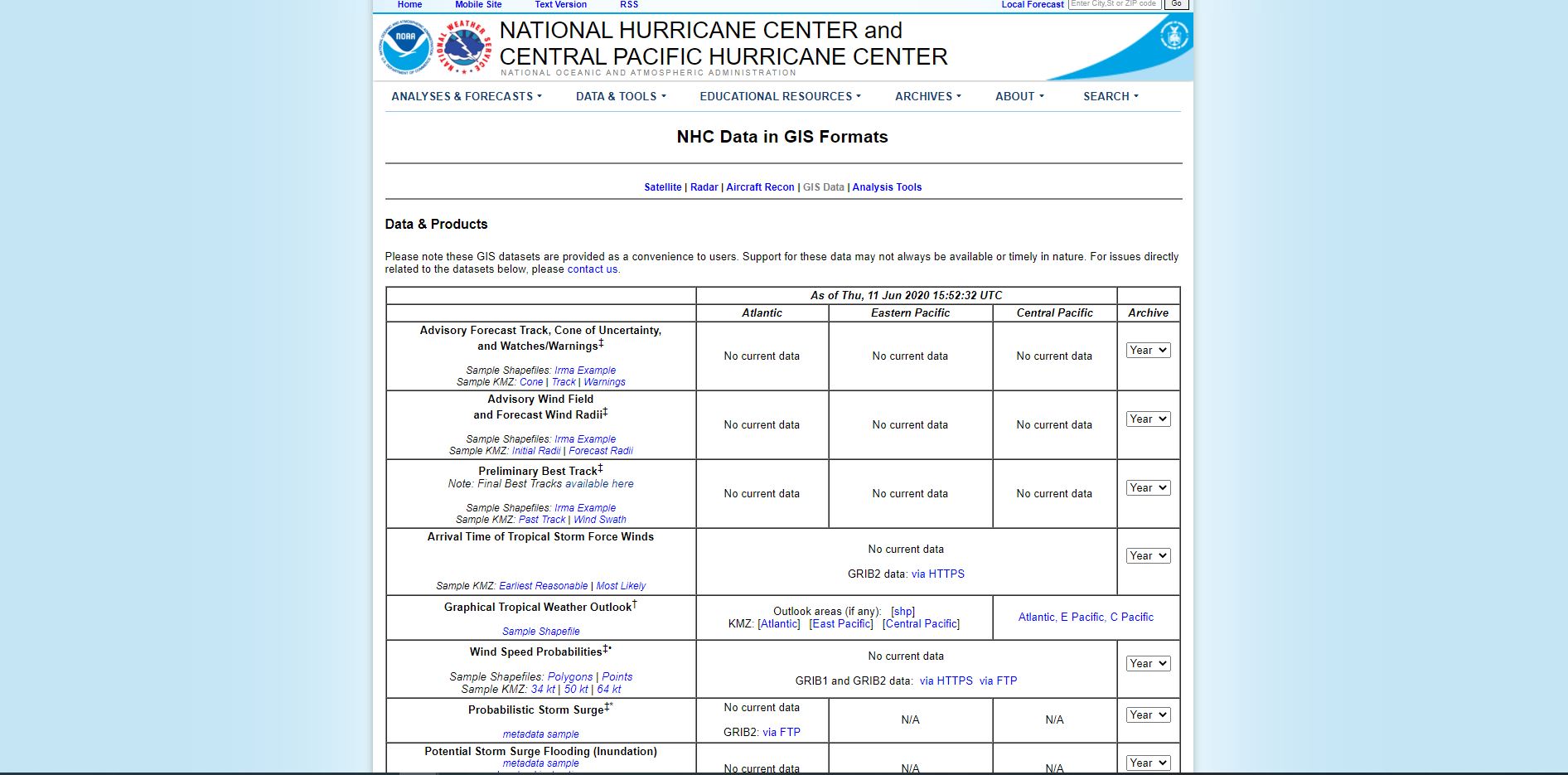
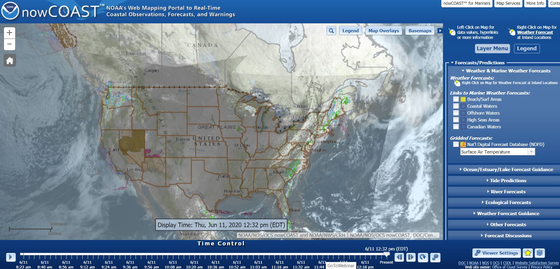
 Wednesday, May 19, 2021, 2-3 pm - Storm Surge Threat (Recording | Storm Surge Presentation PDF | FDEM Presentation PDF) Wednesday, May 19, 2021, 2-3 pm - Storm Surge Threat (Recording | Storm Surge Presentation PDF | FDEM Presentation PDF) |
|
| Florida is a huge state with 1,350 miles of coastline. Along with that extensive coast comes many varied characteristics from the “Nature Coast” to the urbanized areas of Tampa Bay and the Miami Metro area. The Florida Weather Forecast Offices will each take five minutes to describe the unique storm surge threat in their area and how it impacts Emergency Management. Come see why Apalachee Bay can hold some of the highest storm surge in the country or why the Keys can be impacted by storms coming from many directions! | |
 Thursday, May 20, 2021, 2-3 pm - Flooding Rain Threat (Recording | Flooding Rain Presentation PDF) Thursday, May 20, 2021, 2-3 pm - Flooding Rain Threat (Recording | Flooding Rain Presentation PDF) |
|
| Flooding rainfall is a significant threat with tropical events that can take a backseat behind the wind and surge threats. Whether it be urban flash flooding, swelling creeks and rivers, or widespread inundation from extreme rainfall, the threats can be varied and strike communities of all types. This session will dive into lessons from past events across Florida and show the tools available to prepare for future flooding rainfall threats. | |
 Friday, May 21, 2021, 2-3 pm - Tornado Threat (Recording | Tornado Presentation PDF) Friday, May 21, 2021, 2-3 pm - Tornado Threat (Recording | Tornado Presentation PDF) |
|
| Tornadoes are often considered the least significant of the four primary hurricane hazards. However, history reveals several events which have resulted in numerous casualties and extensive property damage, often occurring beyond the main hurricane impact zone and landfall period. This training session will examine the history of hurricane-rain-band tornadoes within Florida, the real-world impacts they produce, and will describe the environmental factors and storm tracks which are most conducive for outbreaks and strong-to-violent events. How the National Weather Service utilizes tornado-related messaging to accentuate especially serious threats will also be covered. | |