National Weather Service United States Department of Commerce
Click a location below for detailed forecast.

Last Map Update: Sun, Aug 30, 2026 at 10:20:34 pm EDT

Mid-summer levels of heat and humidity will prevail during the week ahead, and there's a low to medium chance of getting dangerous heat index values in excess of 107 degrees. Practice all of your heat safety tips, including doing outdoor work in the cooler morning and evening hours, taking cooling breaks, wearing light-colored clothing, and staying hydrated!
A strong tropical wave, the remnants of Tropical Storm Dolly, is producing an area of showers and thunderstorms from Puerto Rico eastward across the Virgin Islands and the northern Leeward Islands. Conditions may become more conducive for redevelopment by the middle of the week as the system reaches the southeastern Gulf of America. If redevelopment occurs, then the closest approach to the Northeast Gulf Coast would be over Labor Day weekend. Check back in the days ahead for the latest prospects on redevelopment.
There is a medium chance (50%) of a short-lived tropical cyclone forming before reaching the Upper Texas or southwestern Louisiana coast on Tuesday or Tuesday night. This system poses no threat around the Northeast Gulf Coast, as it moves west-northwest away from our region.
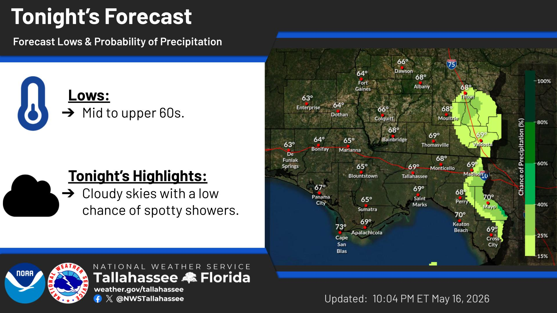
Forecast low temperatures and probability of precipitation for tonight
Forecast high temperatures and probability of precipitation for tomorrow.
Forecast low temperatures and probability of precipitation for tomorrow night


Text Product Selector