National Weather Service United States Department of Commerce

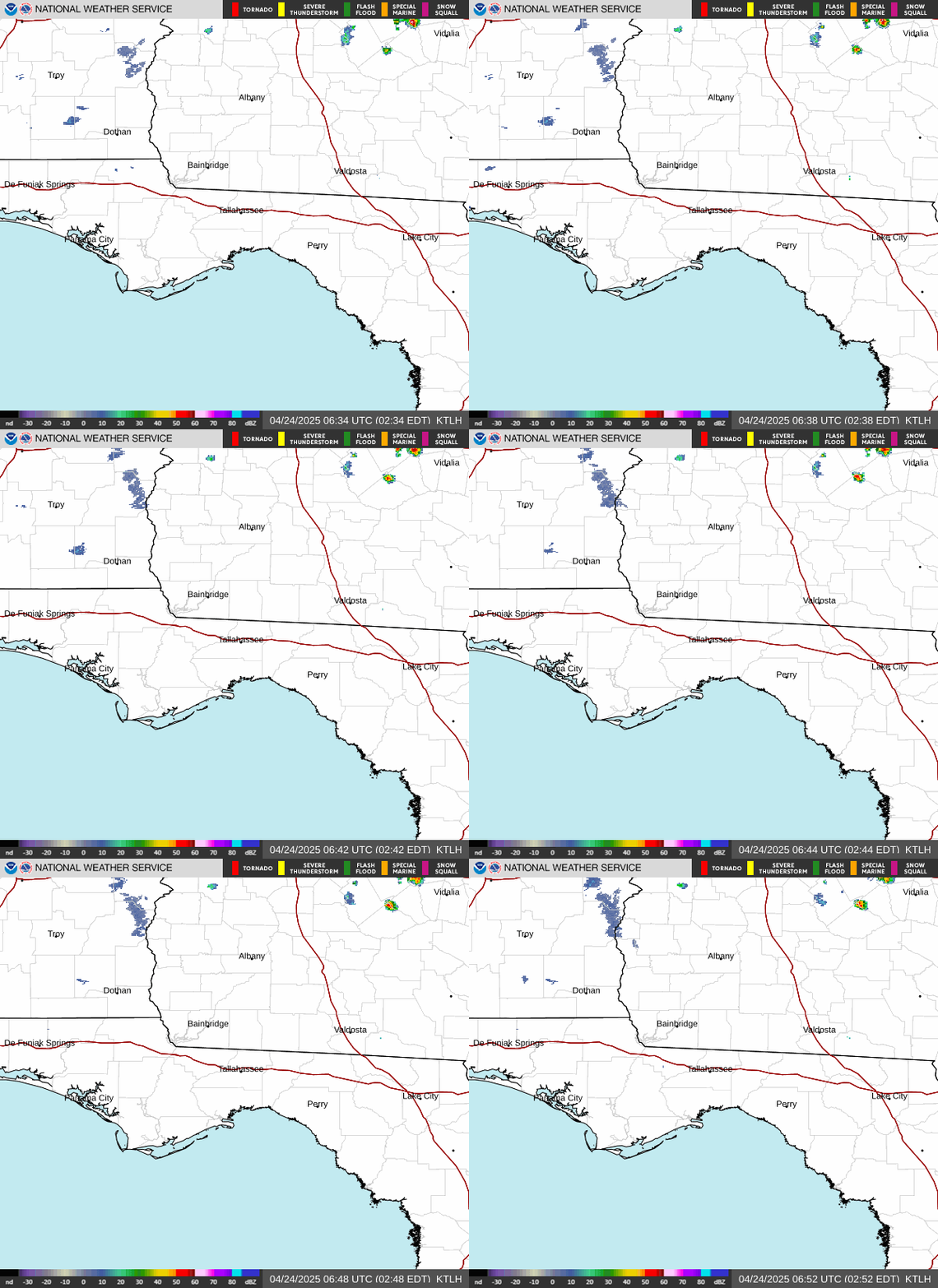
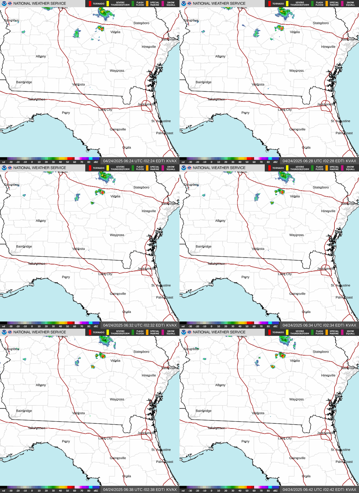
Tropical Depression Two has only strengthened minimally over the last 24 hours as it has drifted northwest across the Gulf. Persistent northerly wind shear and dry air intrusion has limited the ability of the storm to intensify much more than what we've seen. It remains fairly disorganized this morning per latest satellite and radar imagery. With the minimal changes to the storm our watches and warnings have not changed since yesterday. The main impacts across the northeast Gulf Coast will continue to revolve around bands of gusty showers (potentially bring a brief tropical storm gust to 35 or 40 mph), heavy rain from training of storms, and gradually building surf and rip current risks into the week as TD2 slowly strengthens.
- Tropical Storm Warning across offshore waters 20-60NM - Tropical Storm Watch from Ochlockonee River west to the Alabama border including nearshore waters 0-20NM - Small Craft Advisory across Apalachee Bay south to the mouth of the Suwanee 0-20NM
The outer rainbands of Tropical Depression Two will rotate on through. Widespread rain across the Panhandle and Big Bend will be around 1 to 3 inches but localized areas could see totals nearing 4 to 6 inches over the next two days. These could lead to localized flooding.
High surf along our beaches will develop through the next few days as Tropical Depression Two slowly strengthens. Surf heights of 4 to 9 feet are likely to develop across the Panhandle with lower amounts of 3 to 5 feet across the Forgotten Coast from Tuesday into Thursday. This will also lead to numerous dangerous and life threatening rip currents. Please look for and follow local beach flag recommendations. It's highly recommended to stay out of the water through this period.
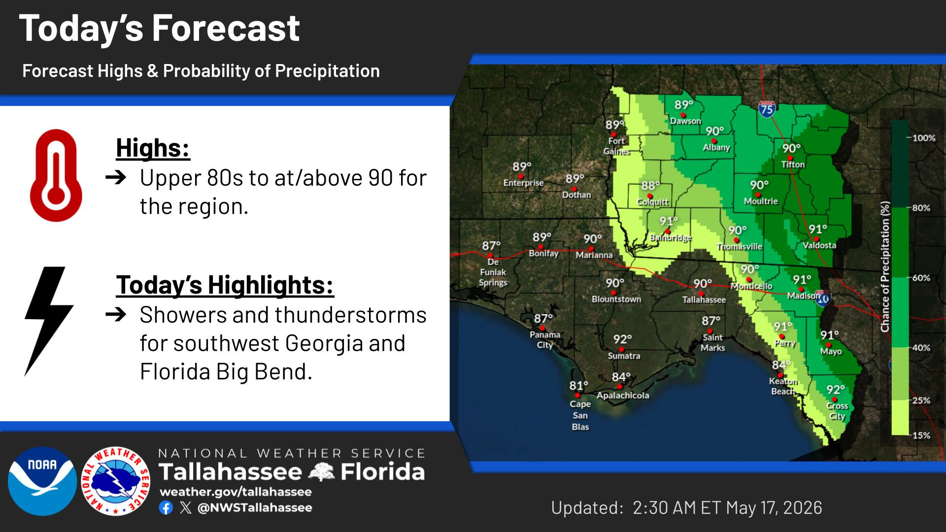
Forecast high temperatures and probability of precipitation for today.
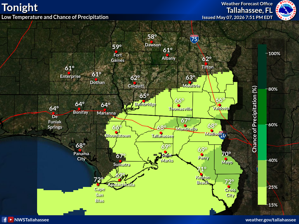
Forecast low temperatures and probability of precipitation for tonight.


Text Product Selector