A strong cold frontal passage tonight will lead to gusty winds this weekend to 35 mph over land and 40 knots over coastal waters that may impact hurricane recovery efforts, including compromised trees leading to power outages, drones, improperly secured roof tarps, loose outdoor items, and hazardous boating.






 Florida Radar (EVX)
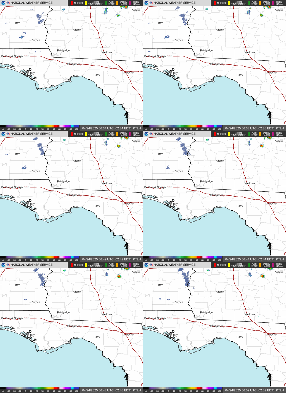 Florida Radar (TLH)
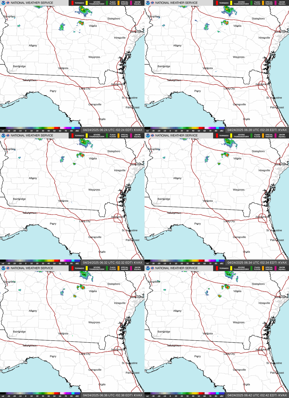 Georgia Radar (VAX)
 Satellite Imagery
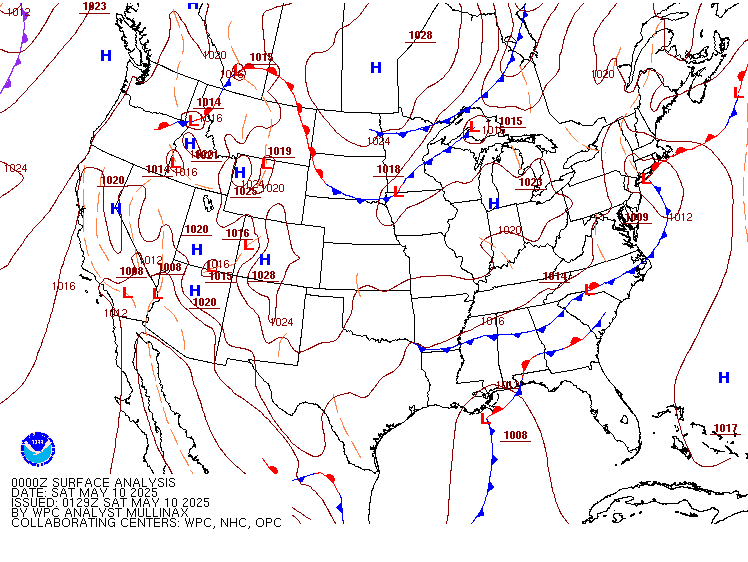 Weather Map (Interactive)
 7 Day Tropical Weather Outlook
 Follow us on X
 Follow us on Facebook
 Follow us on YouTube
 TAE RSS Feed