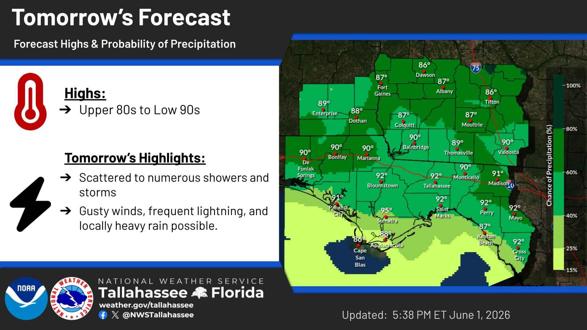
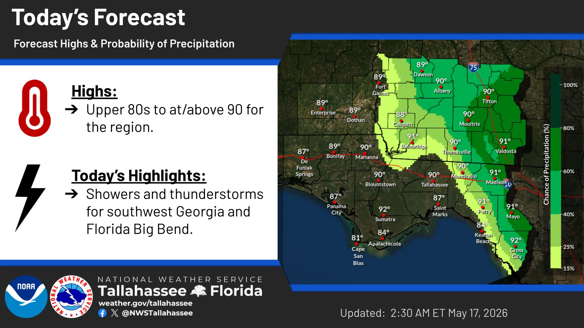
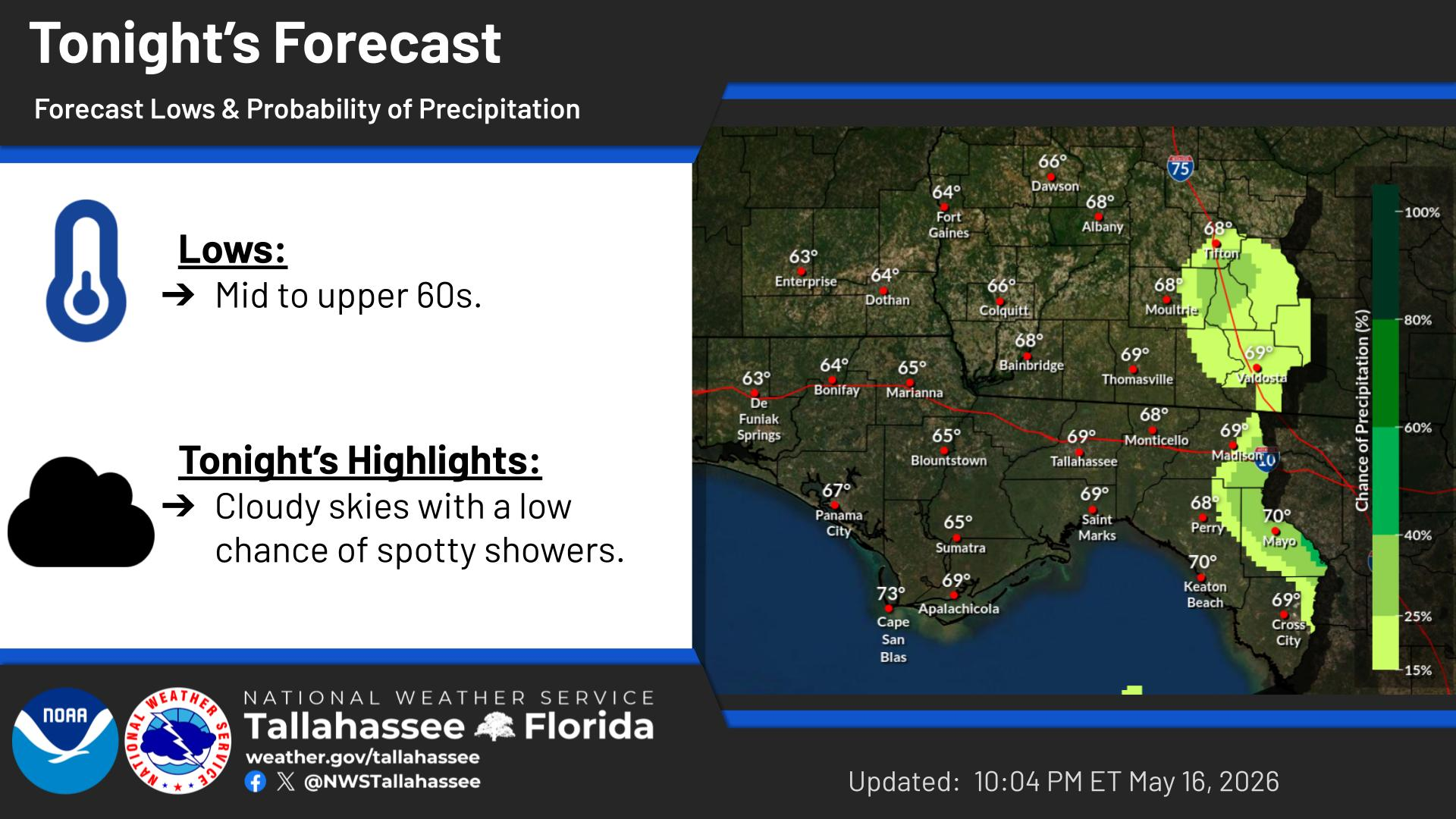
Above normal temperatures are expected for the rest of this work week. Nights will be seasonably pleasant, but afternoons will run 3-6 degrees above normal. Then a dry cold front on Friday night will usher in a cooler weekend.
A sharp cold front will blast across the northeast Gulf waters on Friday night. After days of favorable boating conditions, winds will increase suddenly, and so will seas.





 Florida Radar (EVX)
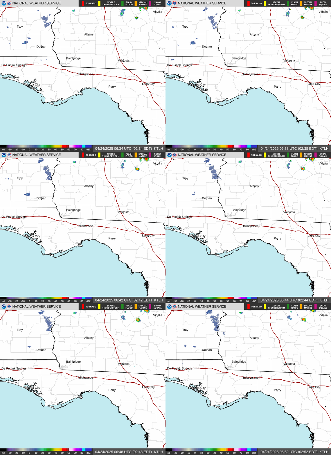 Florida Radar (TLH)
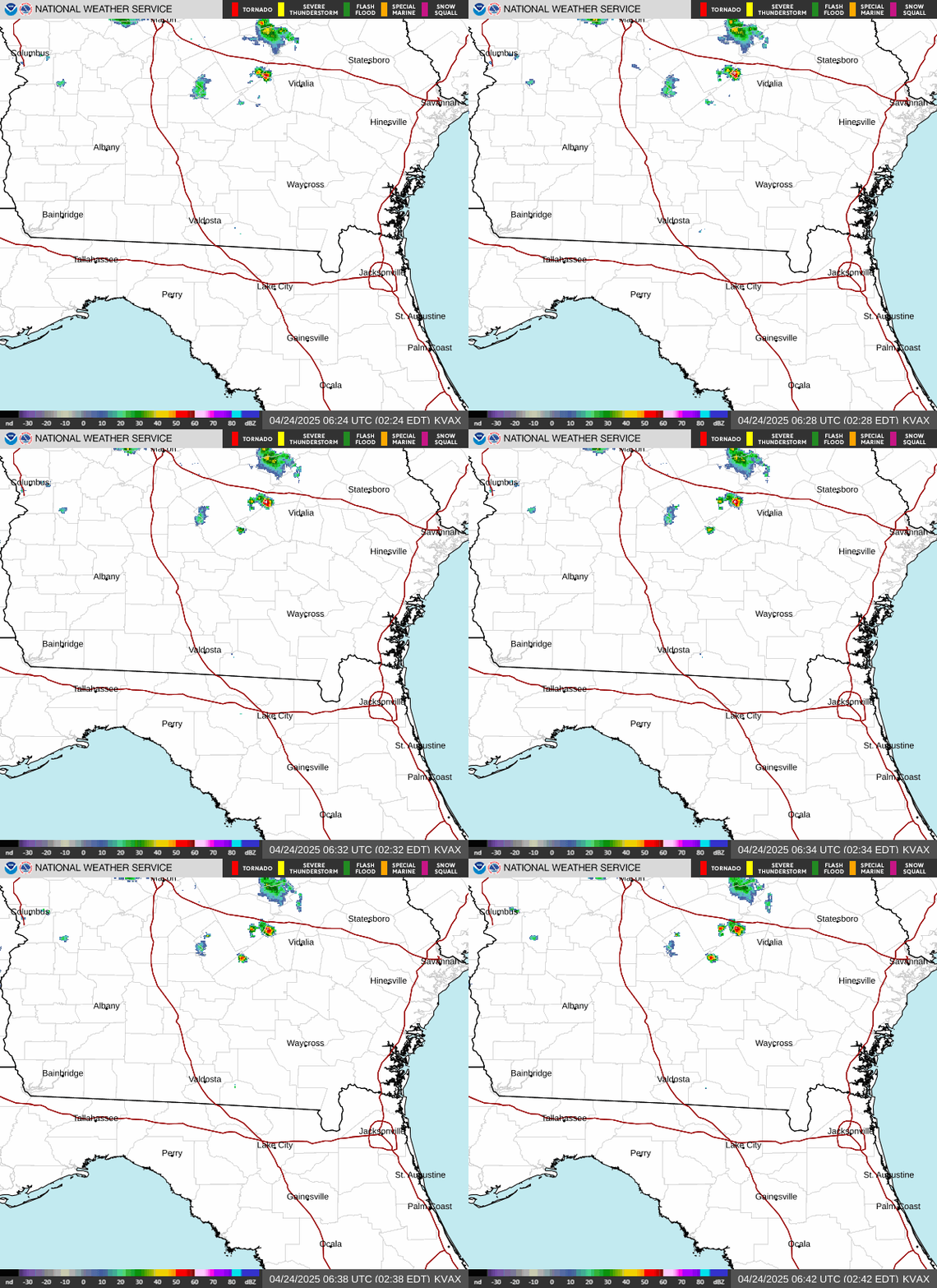 Georgia Radar (VAX)
 Satellite Imagery
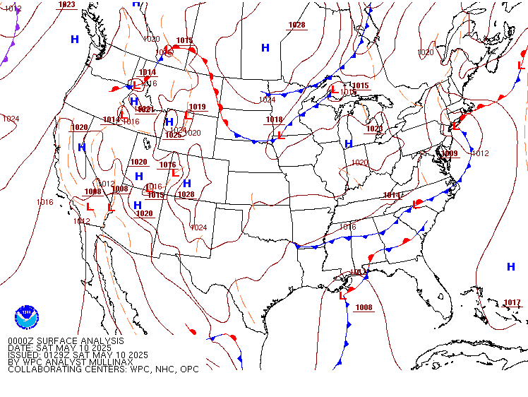 Weather Map (Interactive)
 7 Day Tropical Weather Outlook
 Follow us on X
 Follow us on Facebook
 Follow us on YouTube
 TAE RSS Feed