|
Nearshore Wave Prediction System
National Weather Service
Caribou, ME
Seawall Road Domain |
Please visit polar.ncep.noaa.gov/nwps/viewer.shtml for the national page
|
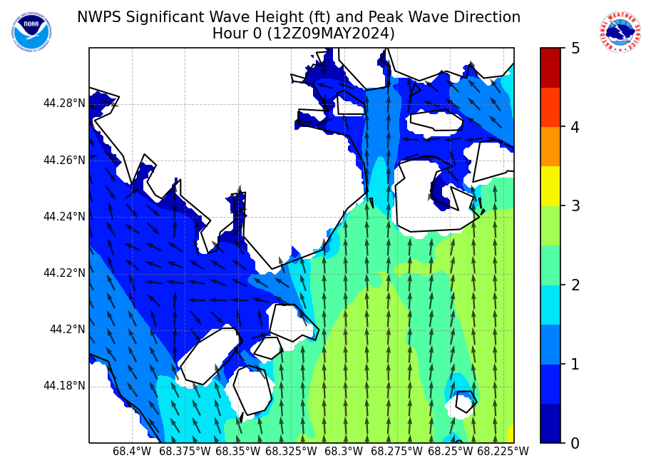
Wave Height
|
|
|
|
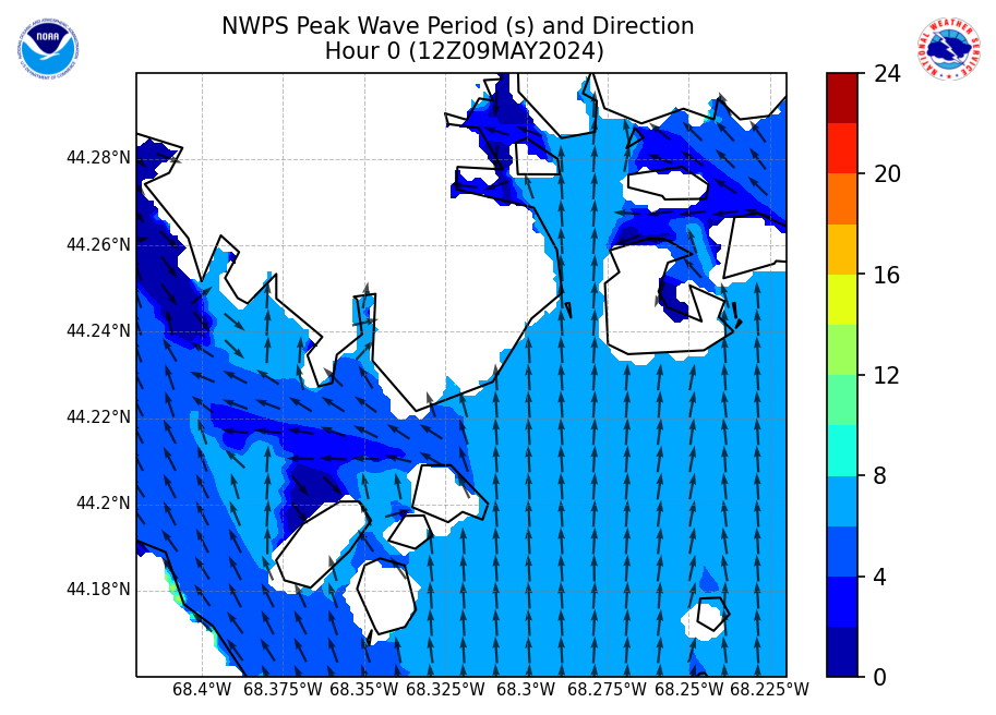
Wave Period
|
|
|
|
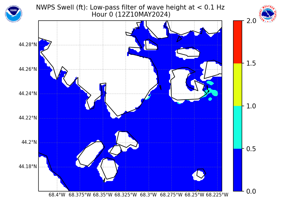
Swell
|
|
|
|
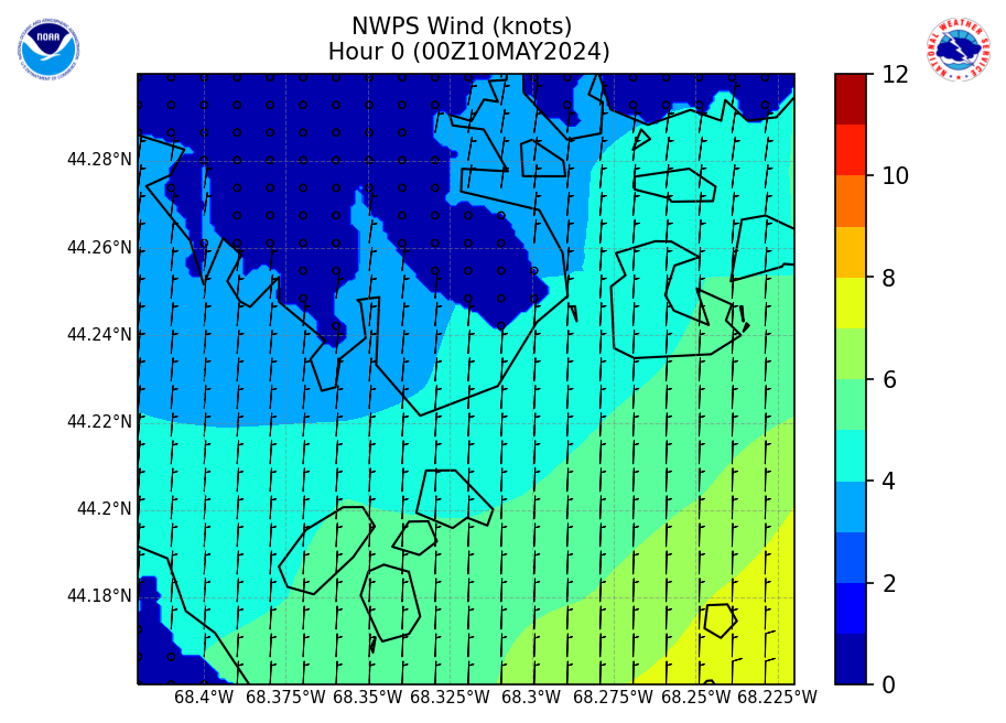
Wind
|
|
|
|
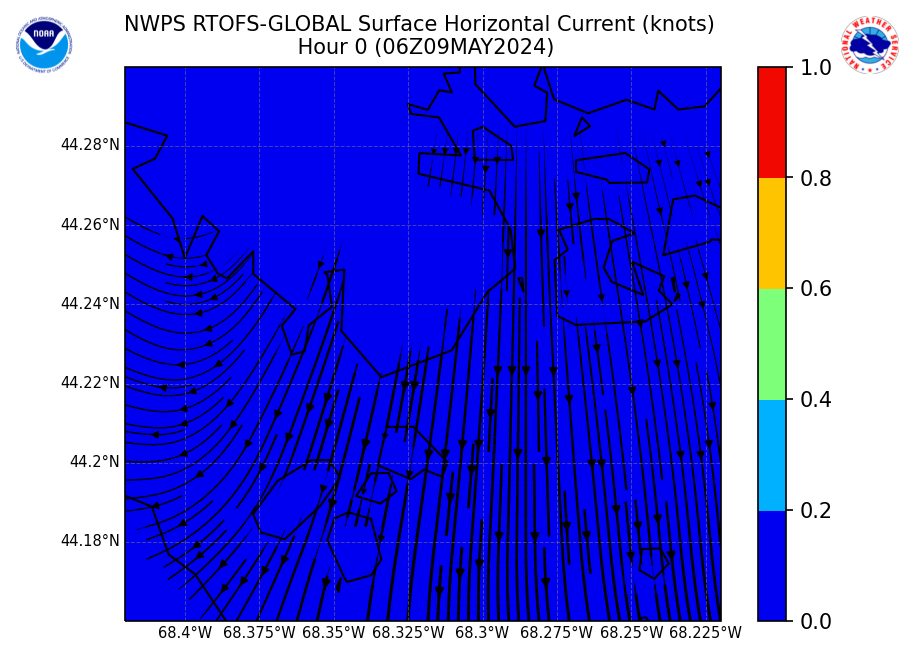
Currents
|
|
|
|
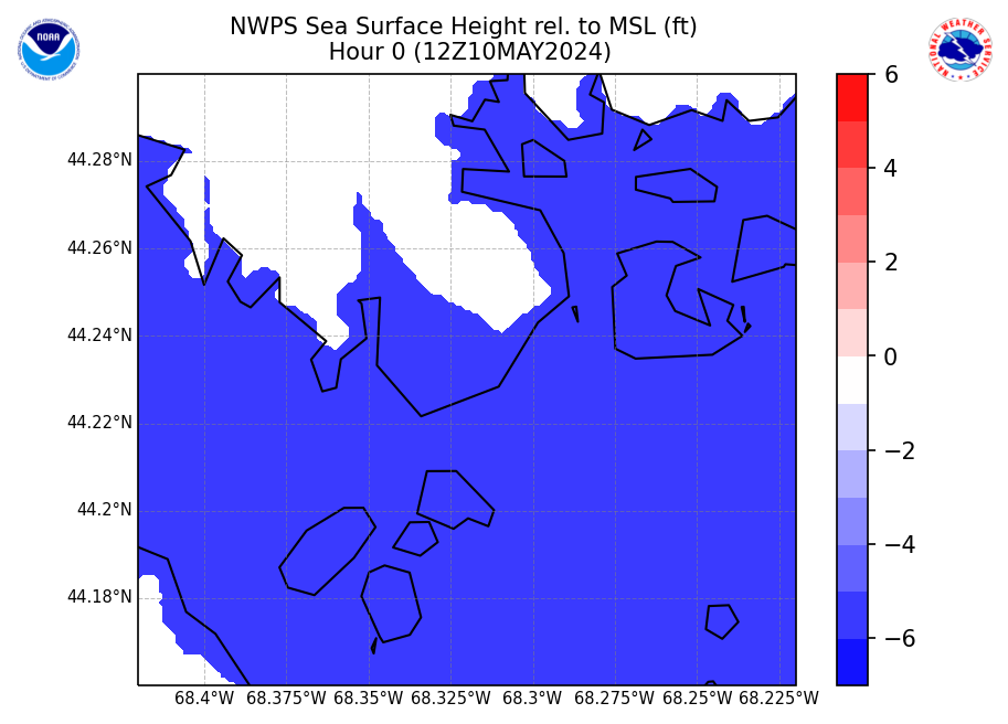
Water Level
|
|
|
|
- The NWPS output is used as guidance to produce WFO Caribou forecasts. This is direct model output and this can be different from the official forecast. For the official marine forecast graphics go to : WFO CAR Official Marine Forecast Graphics
- On this page you will see 3-hourly forecast outputs for significant wave height, peak wave direction, peak wave period, and significant swell height (heights in feet and periods in seconds). Additionally, individual wave system heights, periods, and directions contributing to the significant wave heights are provided further below.
- NOTE: Significant Swell Height output from NWPS is the average height of the highest 1/3 of the group of waves with periods of 10 secs or longer.
NWPS accounts for the following physics:
- Wave propagation in time and space, shoaling, refraction due to current and depth, frequency shifting due to currents and non-stationary depth.
- Wave generation by wind.
- Three- and four-wave interactions.
- Whitecapping, bottom friction and depth-induced breaking.
- Dissipation.
- Wave-induced set-up.
- Propagation from laboratory up to global scales.
- Transmission through and reflection (specular and diffuse) against obstacles.
- Diffraction.
|


 Coastal Flood