
Excessive heat returns for portions of the Plains today where heat indices will likely climb above the century mark. Furthermore, warm temperatures, strong winds and dry fuels may result in rapid spread of wild fires across the western High Plains today. For the east coast, lingering storm with onshore flow will bring high surf, dangerous rip currents and coastal flooding, especially at high tide. Read More >
If you have any photos you would like to share, please feel free to post them to our Facebook or Twitter pages, or send them to our webmaster e-mail account at: w-gid.webmaster@noaa.gov. Please let us know where the photo was taken, and at least an approximate time. Thanks!
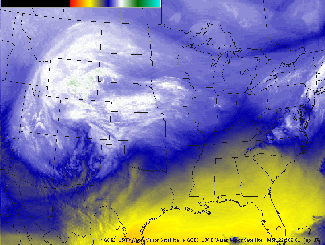
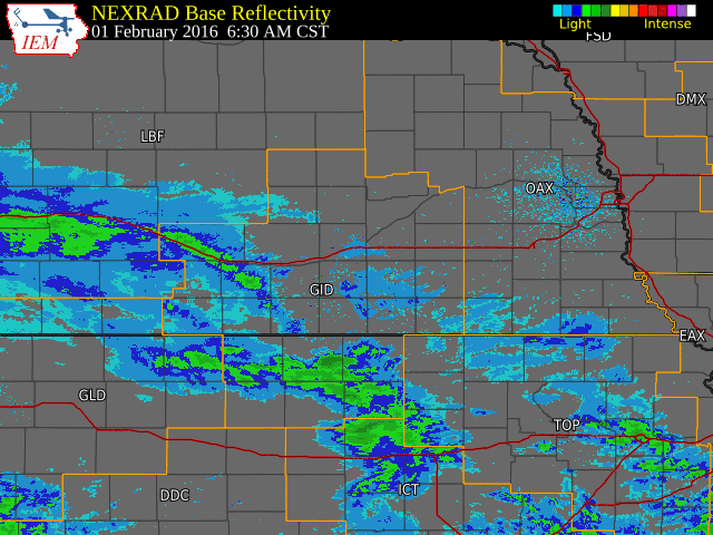
Radar Overview |
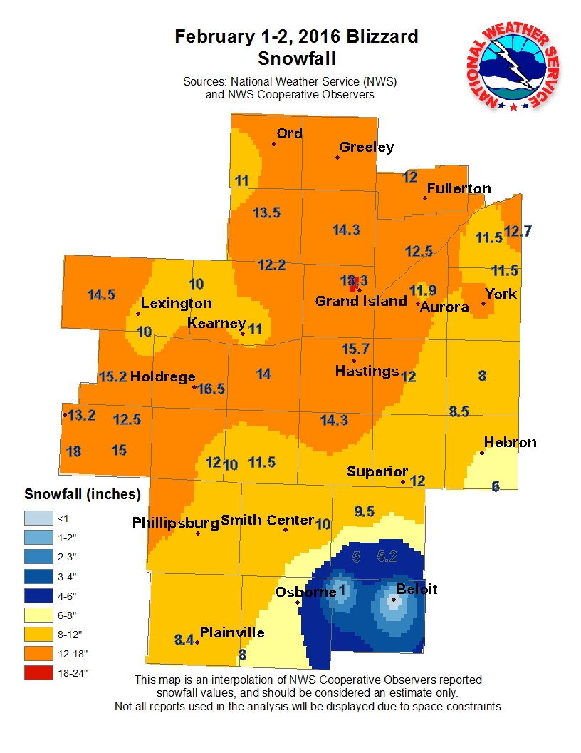
Precipitation Information |
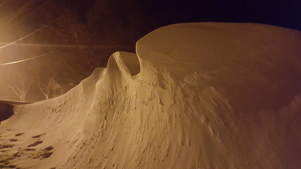
Photos |
 |
 |
| Location | Storm Total Snowfall |
|---|---|
| Grand Island | 18.3 |
| Wilsonville | 18.0 |
| Holdrege | 16.5 |
| 2 ENE Axtell (NTV studios) | 16.2* |
| Hastings (NWS Office) | 15.7 |
| 8 S Elwood | 15.2 |
| Beaver City | 15.0 |
| Cozad | 14.5 |
| St. Paul | 14.3 |
| 4 SW Blue Hill | 14.3 |
| Minden | 14.0 |
| Greeley | 13.6 |
| Loup City | 13.5 |
| Cambridge | 13.2 |
| 3 NE Shelby | 12.7 |
| Central City | 12.5 |
| Edison | 12.5 |
| 3 N York | 12.4 |
| Ravenna | 12.2 |
| Clay Center | 12.0 |
| Harlan County Lake | 12.0 |
| Belgrade | 12.0 |
| Ord | 12.0 |
| Superior | 12.0 |
| Phillipsburg, KS | 12.0 |
| 4 N Aurora | 11.9 |
| Osceola | 11.5 |
| 3 W Gresham | 11.5 |
| Franklin | 11.5 |
| Kearney (airport) | 11.0 |
| Arcadia | 11.0 |
| Naponee | 10.0 |
| 6 SSE Lexington (Canaday Plant) | 10.0 |
| Miller | 10.0 |
| Lebanon, KS | 10.0 |
| Burr Oak, KS | 9.5 |
| Smith Center, KS | 8.6 |
| 4 S Shickley | 8.5 |
| 4 WNW Plainville, KS | 8.4 |
| Geneva | 8.0 |
| Natoma, KS | 8.0 |
| Bruning | 8.0 |
| 6 ESE Clay Center | 6.5 |
| Belgrade | 6.0 |
| Hubbell | 6.0 |
| Jewell, KS | 5.2 |
| Ionia, KS | 5.0 |
| 2 SW Alton, KS | 5.0 |
| Hebron | 4.7 |
| Cawker City, KS | 3.0 |
| Beloit, KS | 0.5 |
| Location | Liquid Equivalent Total |
|---|---|
| Wilsonville | 1.82 |
| Grand Island | 1.81 |
| Holdrege | 1.58 |
| Hastings (NWS Office) | 1.55 |
| Central City | 1.53 |
| Phillipsburg | 1.50 |
| Beaver City | 1.36 |
| 8 S Elwood | 1.35 |
| St. Paul | 1.35 |
| Superior | 1.31 |
| Franklin | 1.30 |
| 4 SW Blue Hill | 1.25 |
| Minden | 1.22 |
| York 3N | 1.21 |
| 4 S Shickley | 1.20 |
| Clay Center | 1.10 |
| Ravenna | 1.09 |
| Lebanon, KS | 1.07 |
| Edison | 1.07 |
| Oxford 6 NNW | 1.05 |
| Loup City | 1.00 |
| Cambridge | 0.99 |
| Burr Oak,KS | 0.98 |
| Kearney (airport) | 0.98 |
| Naponee | 0.98 |
| Smith Center, KS | 0.98 |
| Osceola | 0.95 |
| 3 NE Shelby | 0.93 |
| Cawker City, KS | 0.89 |
| Belgrade | 0.88 |
| Geneva | 0.86 |
| Ord | 0.82 |
| Harlan County Lake | 0.81 |
| 4 N Aurora | 0.80 |
| Natoma, KS | 0.78 |
| Miller | 0.75 |
| 6 SSE Lexington (Canaday Plant) | 0.73 |
| Hubbell | 0.73 |
| Jewell, KS | 0.73 |
| Ionia, KS | 0.72 |
| 6 ESE Clay Center | 0.70 |
| Cozad | 0.69 |
| Greeley | 0.66 |
| 3 W Gresham | 0.65 |
| 4 WNW Plainville, KS | 0.65 |
| 2 SW Alton, KS | 0.58 |
| Beloit, KS | 0.38 |
 |
 |
 |
 |
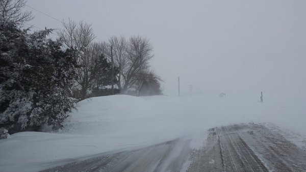 |
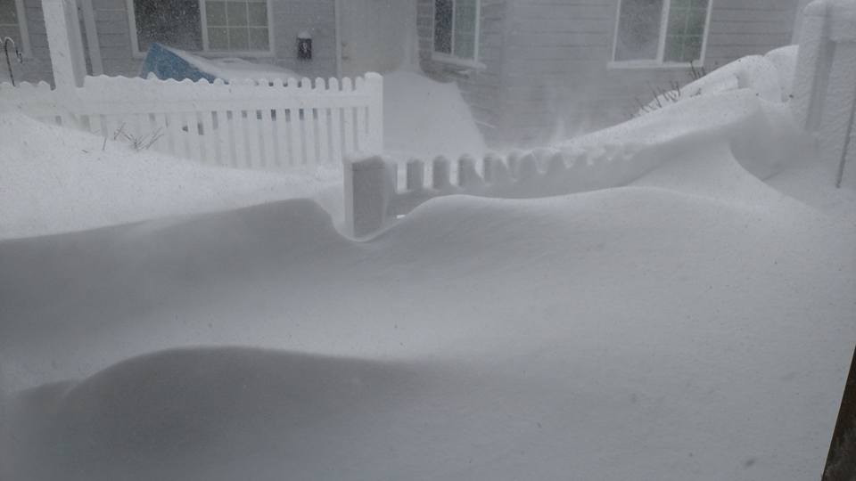
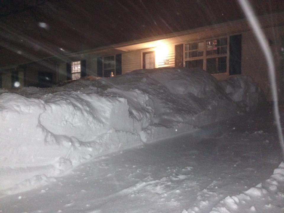
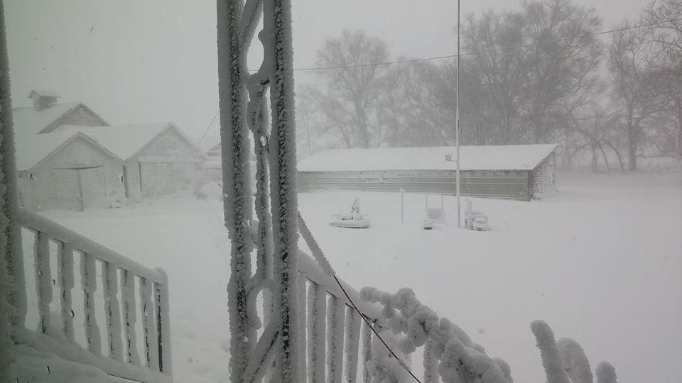
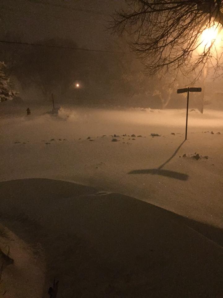
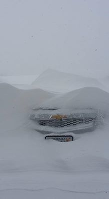
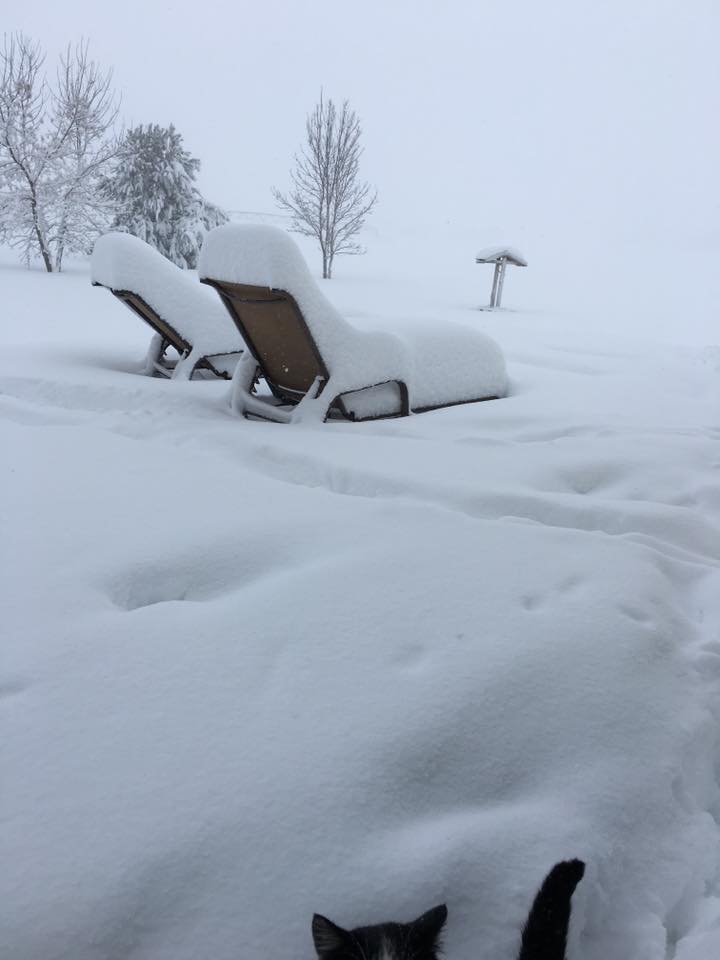
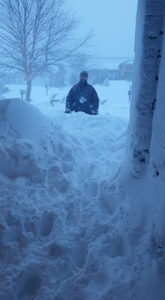
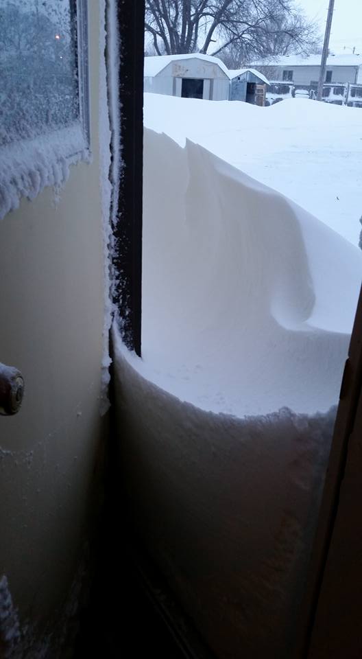
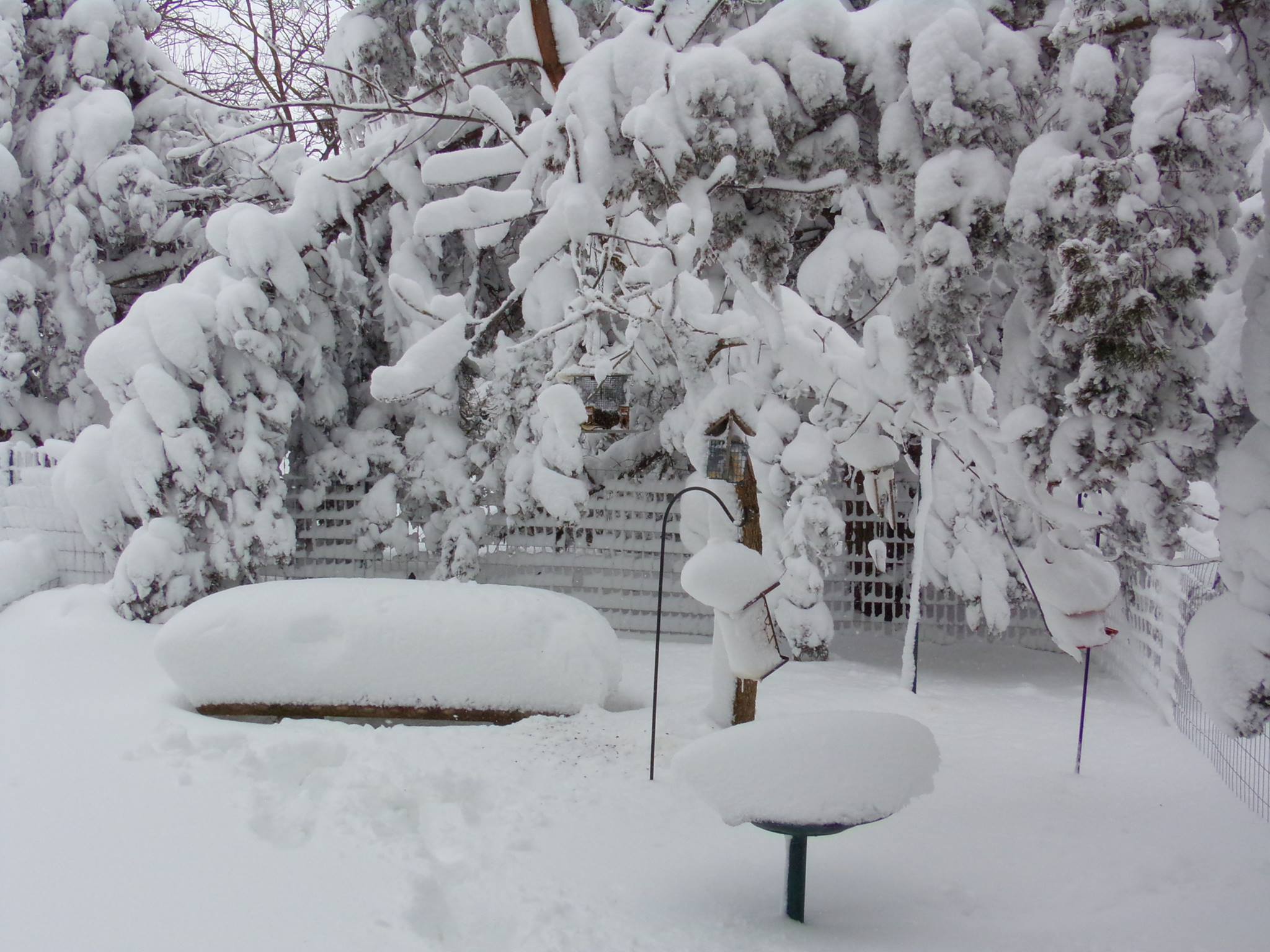
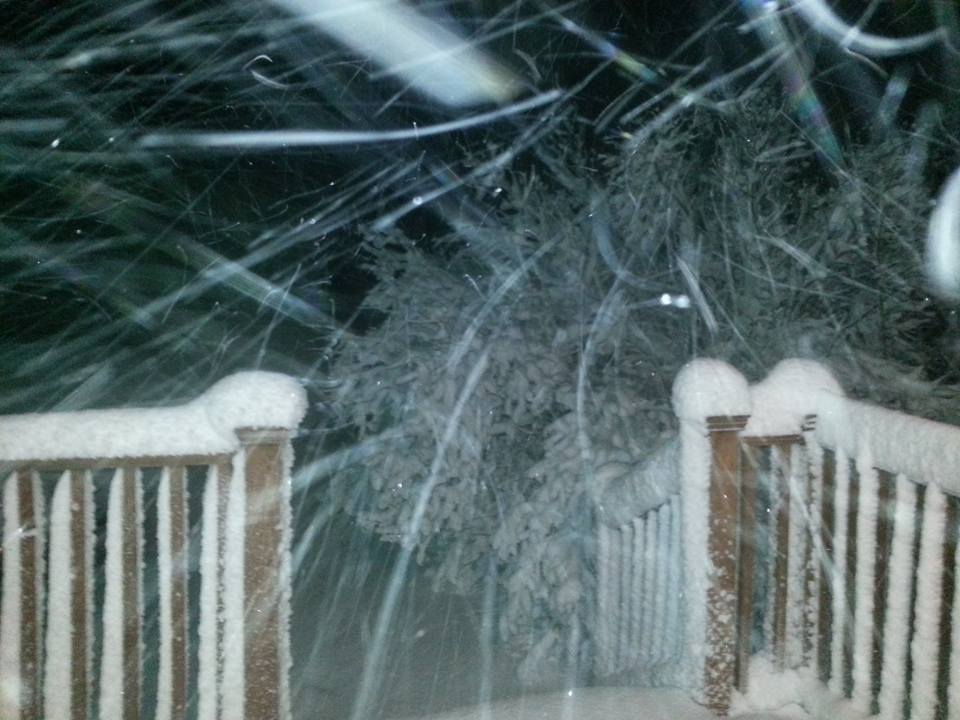
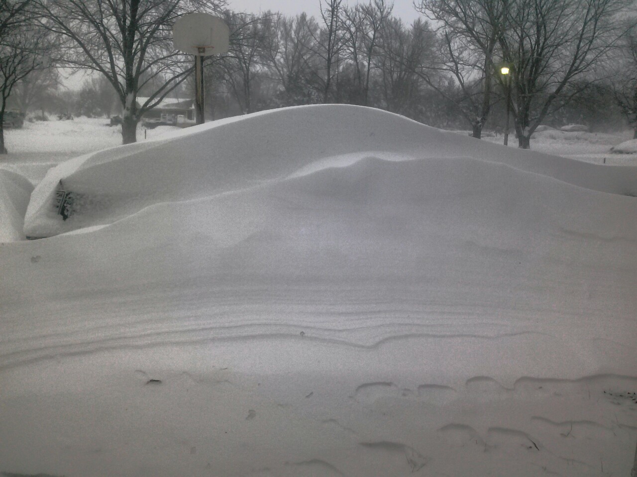
| Giltner - Photo courtesy of Courtney Ott Scott. | Ravenna - Photo courtesy of Deandra Kaslon. | Kearney - Photo courtesy of Haley Jo. | Near Archer - Photo courtesy of Sara Umstead. | Near Shelby - Photo courtesy of Freddy McKinney. |
 |
 |
 |
 |
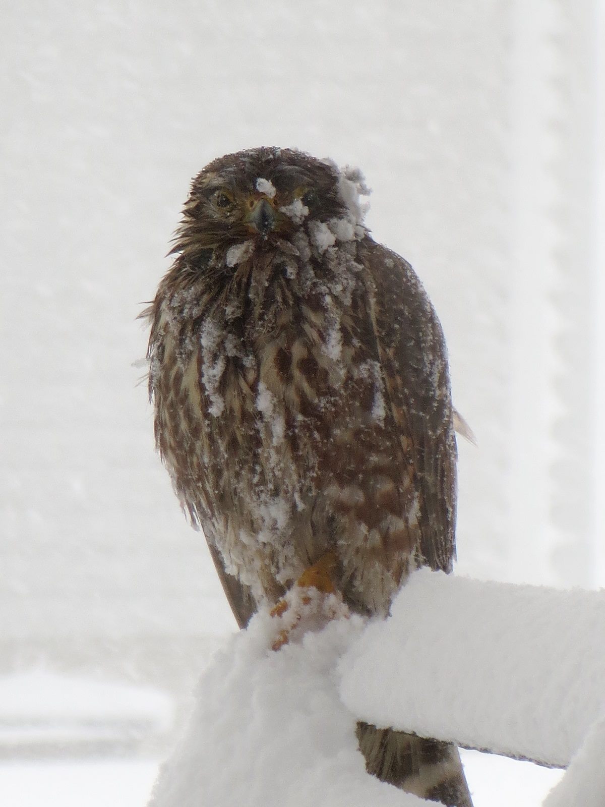 |
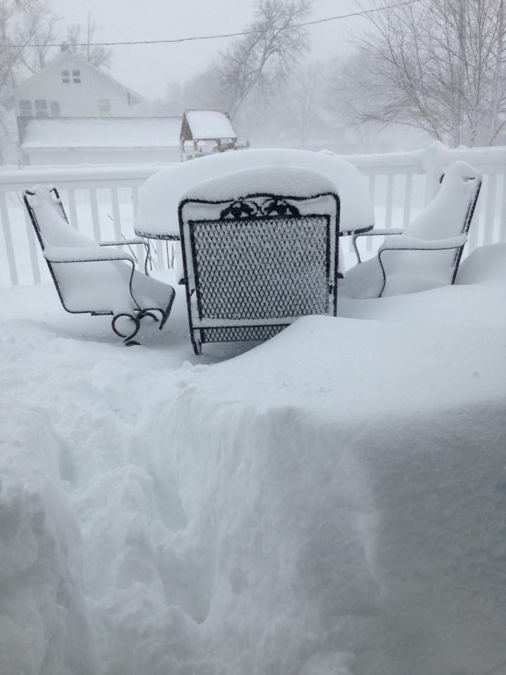
| Loomis - Photo courtesy of Kalei Freeland. | Wood River - Photo courtesy of Megan Lowe. | Grand Island - Photo courtesy of Rosa Amigo De Robinson. | Grand Island - Photo courtesy of Trina Lindell. | Grand Island - Photo courtesy of Tony Graczyk. |
 |
 |
 |
 |
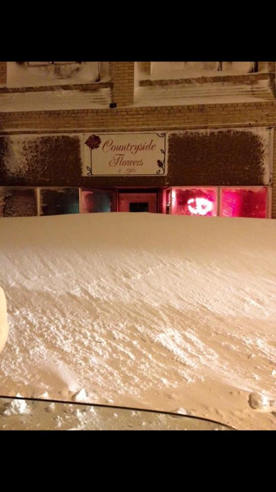 |
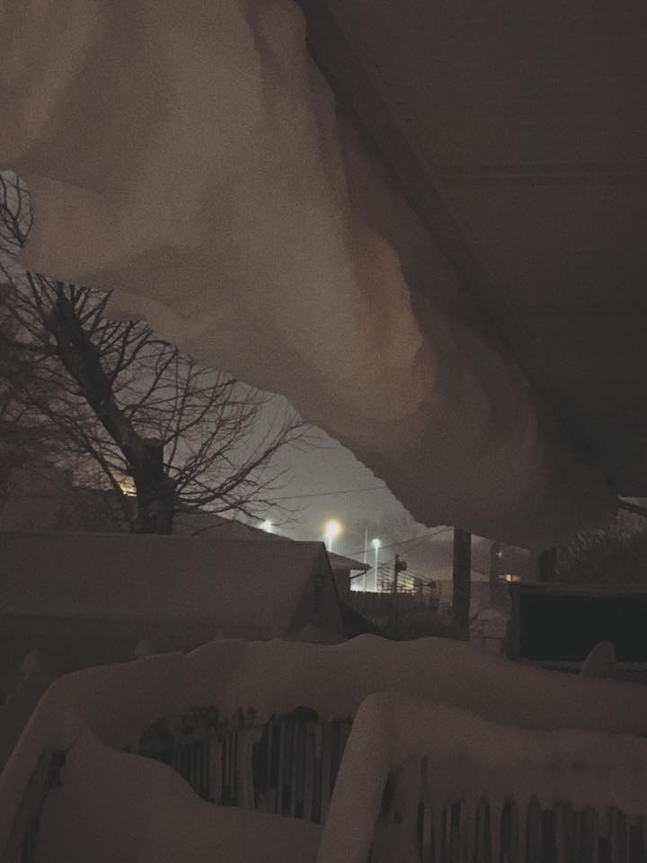
| Wolbach - Photo courtesy of Rex Friedrichsen. | Dannebrog - Photo courtesy of Paula Dush. | Hastings - Photo courtesy of Amanda Schroeder. | Hastings - Photo courtesy of Judi Carpenter. | Central City - Photo courtesy of Teena Paup. |
 |
 |
 |
 |
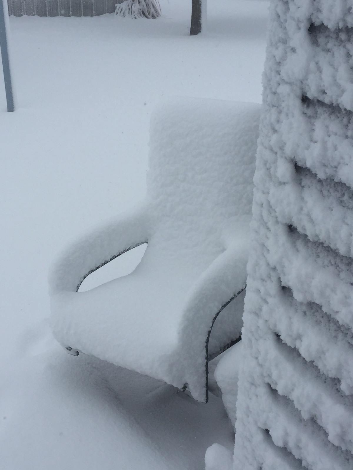 |
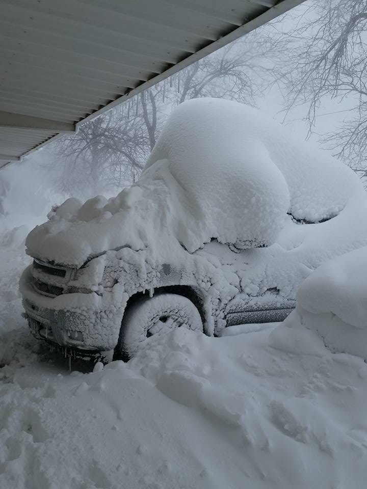
| Near Hendley - Photo courtesy of Darla McGahan. | Hildreth - Photo courtesy of Beau Johnson. |
Stamford - Photo courtesy of Larison Jeny. |
Near Gibbon - Photo courtesy of Brandi Lea Mcharness. | Phillips County, KS. |
 |
This page was composed by the staff at the National Weather Service in Hastings, Nebraska. |
 |

