National Weather Service United States Department of Commerce
Click a location below for detailed forecast.

Last Map Update: Mon, Sep 23, 2024 at 4:40:23 am CDT

Here is a regional radar view.
A few strong to severe storms are possible from Monday afternoon into Monday evening as a cold front moves across the state. Main threats would be damaging winds gusts and large hail.
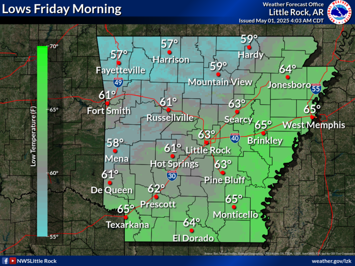
Monday morning temperatures will range from the mid 60s to the mid 70s across the state. The cooler air-mass behind the cold front will not be felt yet as of Monday morning.
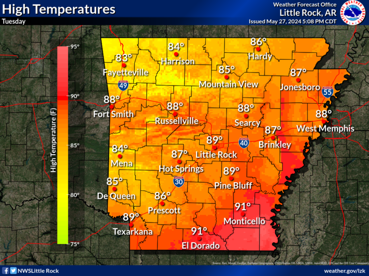
The cold front will be making progress across Arkansas by Monday afternoon as cooler temperatures will begin to usher into the northern and northwestern parts of the state. Temperatures Monday afternoon will range from the low 70s to the low 90s.
The cold front will be positioned across far eastern Arkansas on Monday evening with cooler temperatures beginning to funnel into more portions of the state. Monday evening temperatures across Arkansas will vary from the upper 60s to mid 80s.
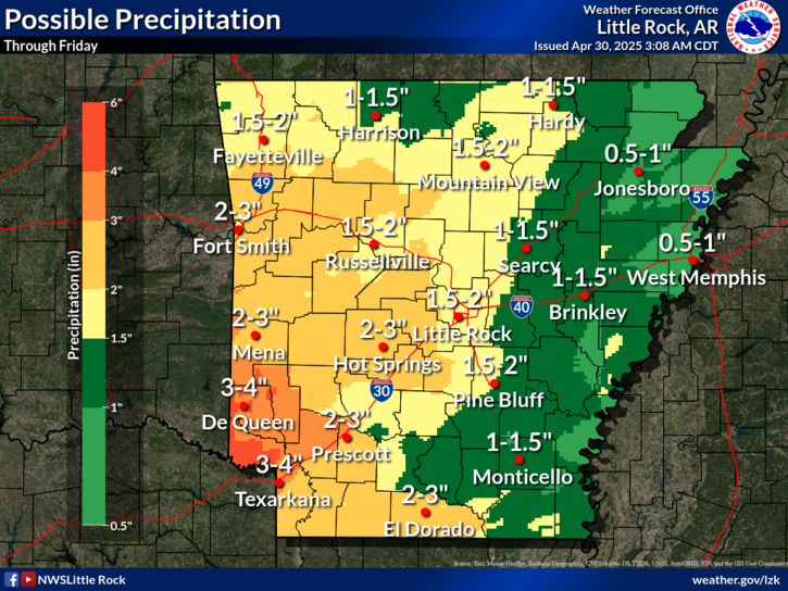
Monday rain and isolated thunderstorm chances will be elevated across a large portion of the state as a cold front moves across the state on Monday.
We're at the Fall Equinox, which marks the beginning of Astronomical Autumn in the northern hemisphere. The word 'equinox' is actually derived from the Latin words - aequus (equal) and nox (night), referring to the approximate equal time of day and night that is observed on the day of an equinox.
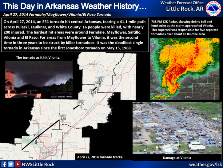
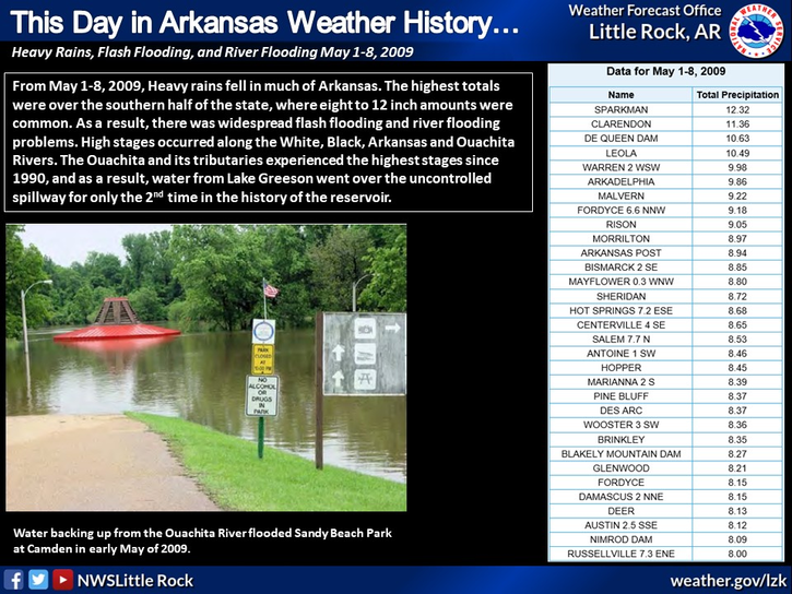
On this day in Arkansas Weather History, back in 2006, horrible flooding occurred on the Spring and Eleven Point Rivers. Several water rescues took place at multiple campgrounds and unfortunately two people were killed. Several locations saw 24 hour rainfall totals that amounted to over 7+ inches with most of that falling during the evening and overnight hours.
 
Hourly Weather Roundup ( )
Location Sky/Weather Temp Dewpt RH Wind Baro Remarks
Fayetteville
N/A
N/A
N/A
N/A
N/A
N/A
N/A
Harrison
N/A
N/A
N/A
N/A
N/A
N/A
N/A
Mountain Home
N/A
N/A
N/A
N/A
N/A
N/A
N/A
Jonesboro
N/A
N/A
N/A
N/A
N/A
N/A
N/A
Fort Smith
N/A
N/A
N/A
N/A
N/A
N/A
N/A
Russellville
N/A
N/A
N/A
N/A
N/A
N/A
N/A
Mount Ida
N/A
N/A
N/A
N/A
N/A
N/A
N/A
Hot Springs
N/A
N/A
N/A
N/A
N/A
N/A
N/A
Little Rock
N/A
N/A
N/A
N/A
N/A
N/A
N/A
North Little Rock
N/A
N/A
N/A
N/A
N/A
N/A
N/A
West Memphis
N/A
N/A
N/A
N/A
N/A
N/A
N/A
Texarkana
N/A
N/A
N/A
N/A
N/A
N/A
N/A
El Dorado
N/A
N/A
N/A
N/A
N/A
N/A
N/A
Pine Bluff
N/A
N/A
N/A
N/A
N/A
N/A
N/A
Monticello
N/A
N/A
N/A
N/A
N/A
N/A
N/A
Note: "N/A" or "MISG" will be displayed if values are not available. In the LOCATION column, click on links for a list of recent observations at sites of interest. In the WIND column, VRB is "variable" and G is "gust". Wind speeds are in MPH. In the BARO (pressure) column, values are in inches. In the REMARKS column, HX is "heat index", WCI is "wind chill index", and VSB is "visibility" (if shown).
 
 
Point Forecasts
Cities in Arkansas Coordinates (make sure "Lon" is negative)
Lat:   Lon:
 
Local Hazards
Local Hazards
Decision Support
Decision Support
Submit Storm Report
Submit Storm Report
Local Forecast Page
Local Forecast Page
Radar Links
Radar Links
Local Climate Page
Local Climate Page
Local Observations Page
Local Satellite Page
Local Drought Page
Local Drought Page
Local Hydrology Page
Local Fire Page
Local Fire Page
Text Product Viewer
Text Product Viewer