National Weather Service United States Department of Commerce

Significant Coastal Impacts from Nor'Easter; Hurricane Nolo Bring Gusty Winds and Heavy Rain to Hawaii

A nor'easter will continue to bring significant coastal impacts to the Mid-Atlantic and New England into Monday. Moderate to major coastal flooding, heavy rain, strong winds, and high surf are expected. Hurricane Nolo will remain south of the Big Island of Hawaii with gusty winds and heavy rainfall that may bring significant, life-threatening flooding and mudslides through the weekend. Read More >

Click a location below for detailed forecast.

Last Map Update: Sat, Sep 26, 2026 at 8:14:14 pm CDT

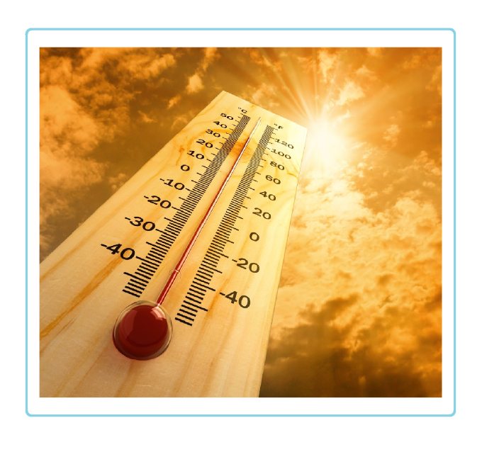
Tomorrow's high temperatures will remain slightly above normal across the combined Panhandles tomorrow. Temps will peak in the mid 80s to lower 90s.
There is an isolated chance for thunderstorms this evening in the eastern and southeastern Texas Panhandle. Storms will have a low chance of becoming severe with potential hazards of up to 60 mph wind gusts and quarter sized hail.
We are awaiting the setup for more rain from Hurricane Polo next week. This appears to be a very favorable setup for ample moisture which could lead to flash flooding.
Tuesday will be the onset of the remnants of Hurricane Polo and an upper level disturbance that is coming over from the southwest CONUS. With these two systems merging, our flash flood threat due to excessive rainfall will be a concern.
Wednesday will be a continuation of the remnants of Hurricane Polo and an upper level disturbance that is coming over from the southwest CONUS. With these two systems merging, our flash flood threat due to excessive rainfall will be a concern.
With the rain out of the Panhandles now, here are the rain totals since the bulk of the rain started on September 22nd. It has been very wet across most of the area, but some of the north-central TX Panhandle and eastern/central Oklahoma Panhandle remained under 1" of rain. See less

Text Product Selector (Selected product opens in current window)


Current Observations ( )
Location Sky/Weather Temp (°F) Dewpt (°F) RH (%) Wind (mph) Pressure (inHg) Remarks
 Amarillo
N/A
N/A
N/A
N/A
N/A
N/A
N/A
 Borger
N/A
N/A
N/A
N/A
N/A
N/A
N/A
 Canadian
N/A
N/A
N/A
N/A
N/A
N/A
N/A
 Dalhart
N/A
N/A
N/A
N/A
N/A
N/A
N/A
 Dumas
N/A
N/A
N/A
N/A
N/A
N/A
N/A
 Guymon
N/A
N/A
N/A
N/A
N/A
N/A
N/A
 Hereford
N/A
N/A
N/A
N/A
N/A
N/A
N/A
 Pampa
N/A
N/A
N/A
N/A
N/A
N/A
N/A
 Perryton
N/A
N/A
N/A
N/A
N/A
N/A
N/A
 Amarillo 9NNE
N/A
N/A
N/A
N/A
N/A
N/A
N/A
 Amarillo 7SSE
N/A
N/A
N/A
N/A
N/A
N/A
N/A
 Bootleg 11WNW
N/A
N/A
N/A
N/A
N/A
N/A
N/A
 Canadian 6E
N/A
N/A
N/A
N/A
N/A
N/A
N/A
 Clarendon 2WSW
N/A
N/A
N/A
N/A
N/A
N/A
N/A
 Claude 12SW
N/A
N/A
N/A
N/A
N/A
N/A
N/A
 Hereford 2NW
N/A
N/A
N/A
N/A
N/A
N/A
N/A
 McLean 1E
N/A
N/A
N/A
N/A
N/A
N/A
N/A
 Palo Duro SP
N/A
N/A
N/A
N/A
N/A
N/A
N/A
 Pampa 2E
N/A
N/A
N/A
N/A
N/A
N/A
N/A
 Umbarger 3NNE
N/A
N/A
N/A
N/A
N/A
N/A
N/A
Note: "N/A" or "MISG" will be displayed if values are not available. In the LOCATION column, click on links for a list of recent observations at sites of interest. In the WIND column, VRB is "variable" and G is "gust". In the REMARKS column, HX is "heat index", WCI is "wind chill index", and VSB is "visibility" (if shown).


Aviation Drought Fire Weather Hydrology Severe Weather Winter Weather
 
Climate Graphs Hourly Forecast Long Range Local Model Data Precip Maps Heat
 
Education Local Research News Skywarn Weather Calculator Weather Radio