
Severe storms will be possible this evening and tonight, with additional severe storms possible again late Monday. Read More >
Overview
|
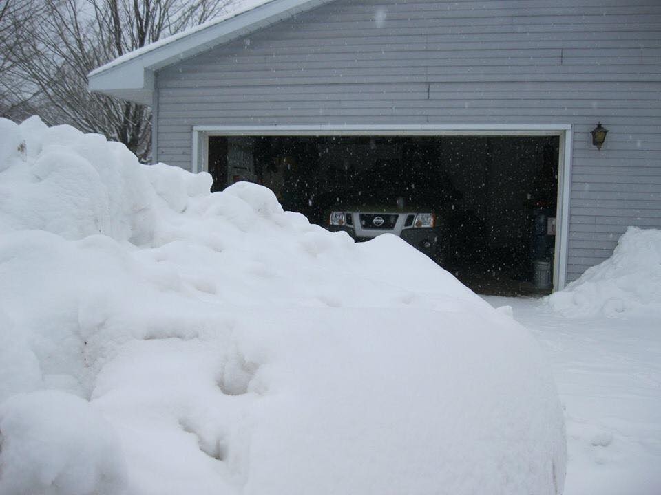
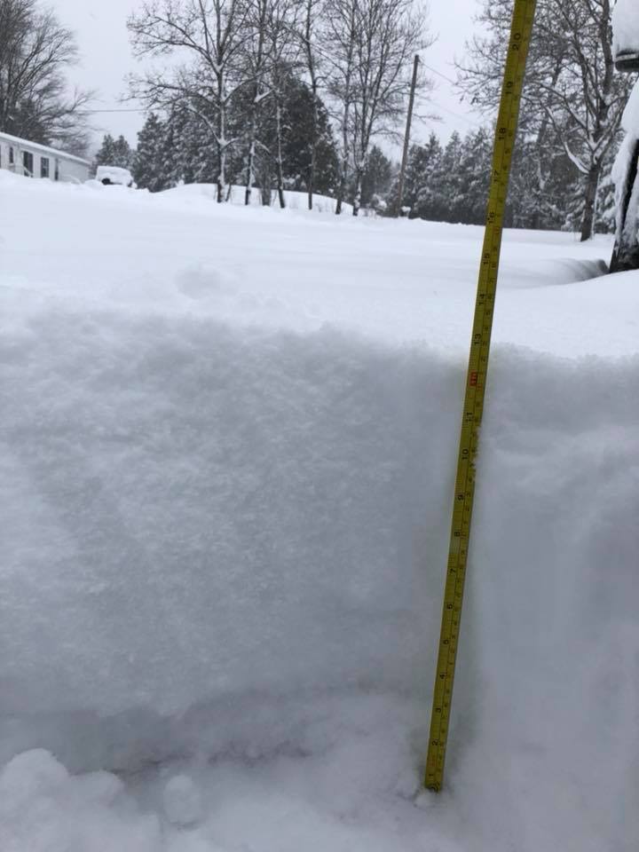
A little over a week following an early April snowstorm across northern Michigan, another strong late-season winter storm pummeled the region from April 13-17, 2018. This more prolonged, slow-moving system impacted northern Michigan in waves, with a few distinct rounds of wintry precipitation occurring over the course of several days. The storm began the afternoon of Friday, April 13 with scattered, heavy snow showers and even a few thunderstorms producing small hail along and south of M-72. Snow became more widespread that evening, and a very intense band developed over the Tip of the Mitt with snowfall rates up to 2 inches per hour in some areas overnight. Many locations along and north of M-32 woke up to around a foot or more of heavy, wet snow Saturday morning (highest around Elmira and Boyne Falls where 17 inches was reported!), but the heaviest snow from this initial band stayed just south of the Straits region. The next round of heavier wintry precipitation held off until early Sunday morning. Mixed precipitation was more of a concern with this batch, as warmer air aloft was streaming in from the south just ahead of the approaching storm system. NWS Gaylord, which typically launches weather balloons twice daily, performed a special balloon release at 2 AM Sunday to gauge how prominent this "warm nose" had become. The environment was found to be supportive for sleet and possibly some freezing rain on Sunday. However, it soon became apparent that low level temperatures would not change much through the day. As a result, sleet persisted across much of northern Michigan from early Sunday morning through late afternoon. A handful of locations along and south of M-72 reported freezing rain briefly, but up to a few inches of accumulating sleet was the general rule. While this mitigated the threat of ice accretion from freezing rain, the accumulating sleet was similar in consistency to sand, making it difficult to walk or drive on, as well as to remove from driveways. Sunday was also the first round of significant precipitation with this system to impact eastern Upper, generally in the form of snow and some sleet. As the system began to slowly depart late Sunday night, another round of heavier snow developed and slowly pivoted counterclockwise across northern Michigan through the day Monday and into Monday night, resulting in several inches of additional accumulation. Some lake enhancement also came into play off Lake Michigan Monday night into Tuesday morning. By midday Tuesday, the departing storm system had pushed into the Northeast with lingering snow on its backside finally coming to an end across northern Michigan. This strong system was significant not only for occurring so late in the season but also for the magnitude of snowfall it brought, with storm total snowfall approaching 2 feet in some areas. Following the other heavy snow event at the beginning of the month, this system pushed many locations into their all-time snowiest April on record. Gusty winds as high as ~45 mph during this event resulted in significant blowing and drifting snow, making travel extremely difficult at times across much of northern Michigan. Power was out in many areas due to the combination of heavy, wet snow and gusty winds. As a result, many schools, businesses, and government agencies were closed on Monday, some even into Tuesday within the hardest-hit areas. |
|
Snowfall Map
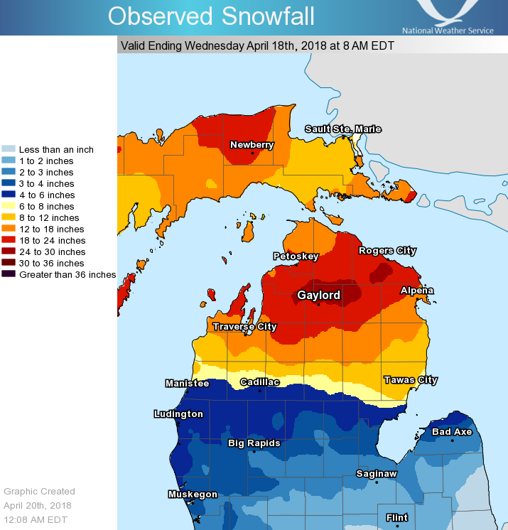 Storm total snowfall April 13-17, 2018 |
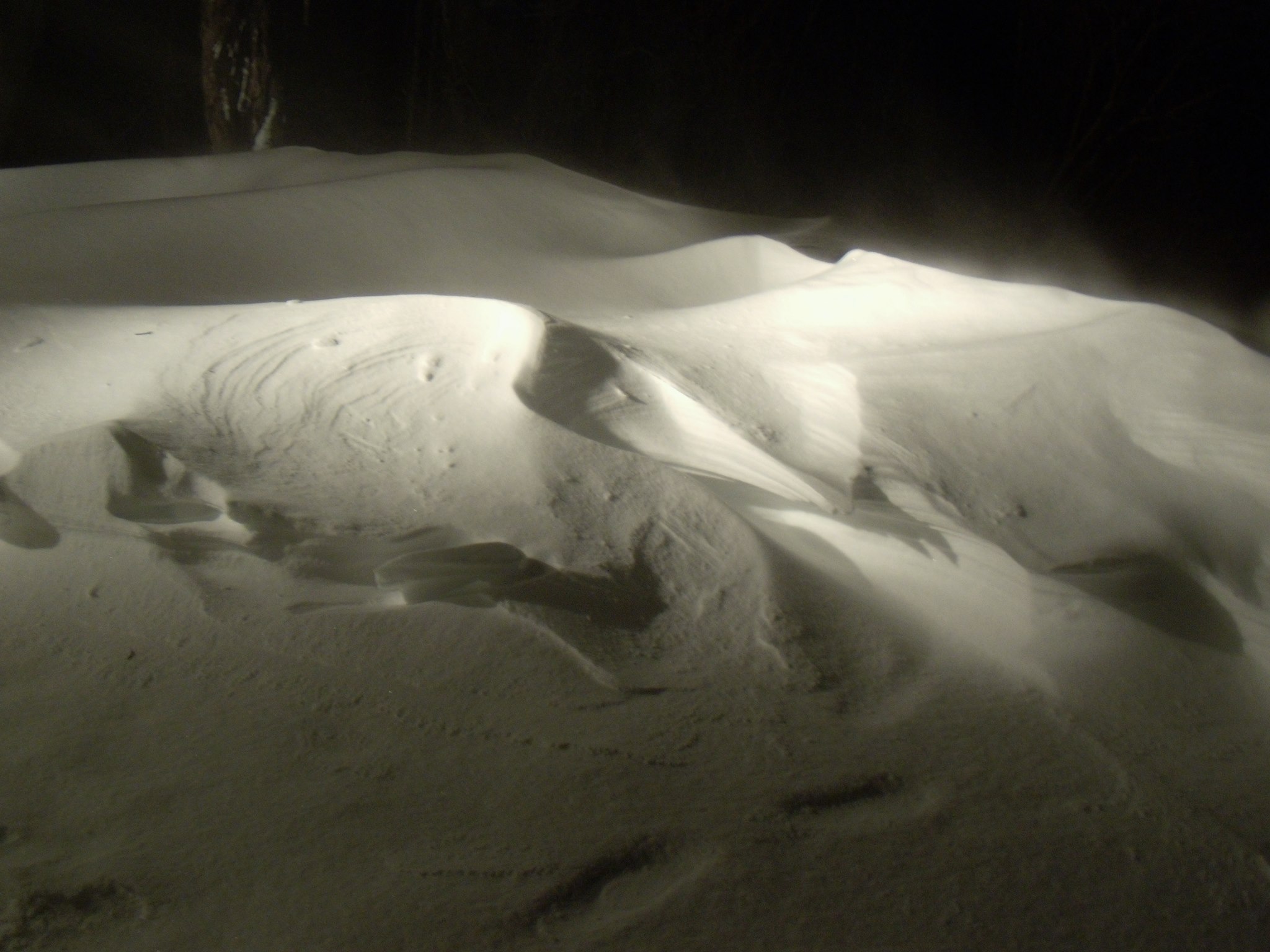
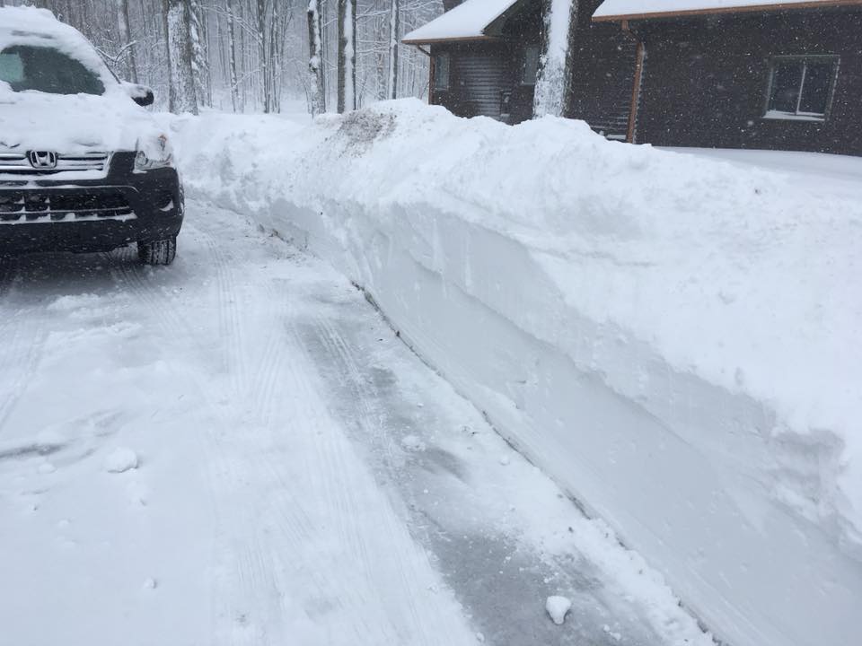
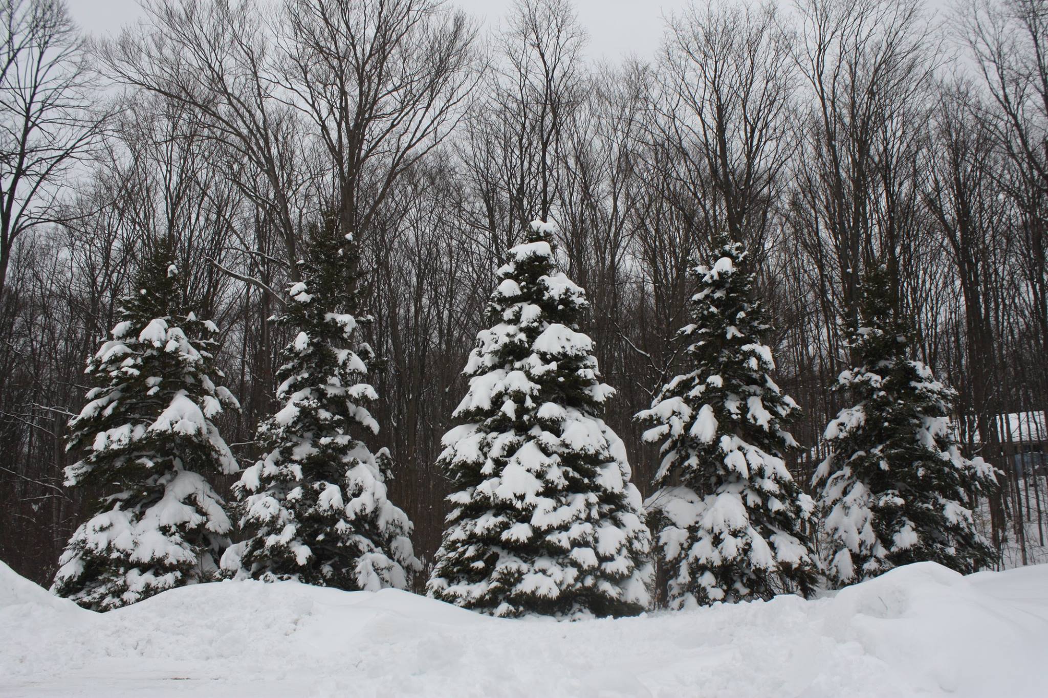
Photos & Video:
Submitted Via Social Media
 |
 |
 |
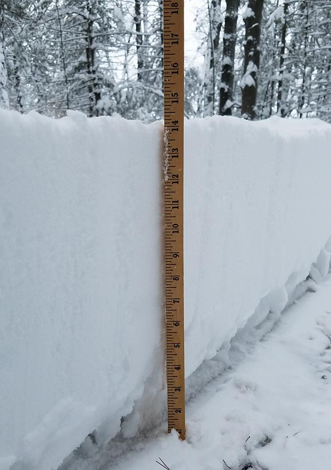 |
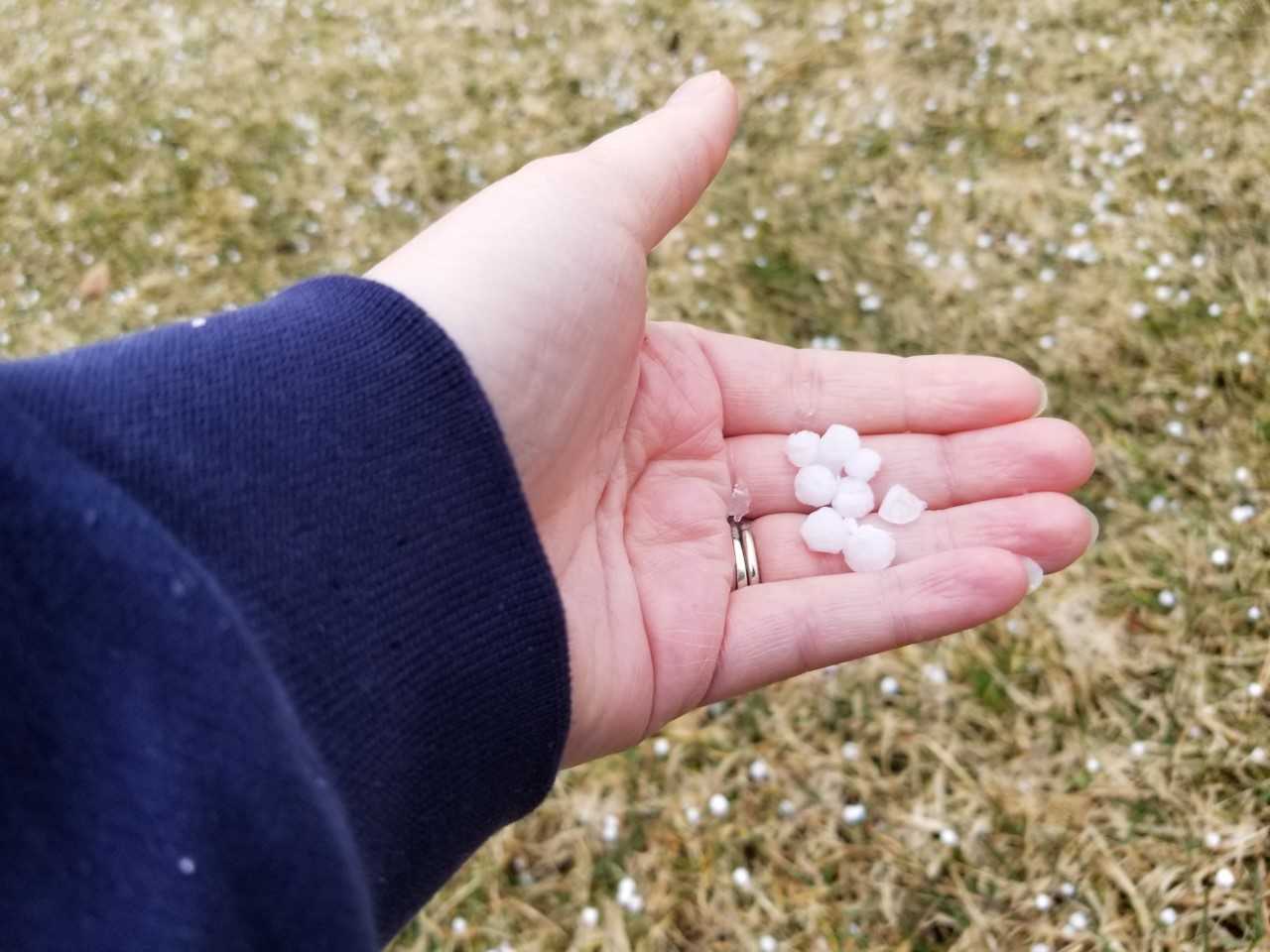
| Small Hail from Friday Thunderstorm Mapleton, MI - Michelle Olin |
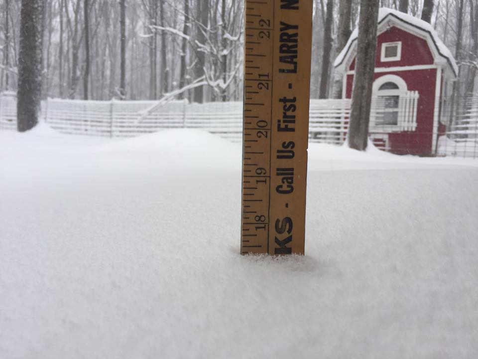
Heavy Snow Burst Friday Afternoon Waters, MI - NWS Gaylord | Saturday Morning Snowfall Elmira, MI - Jessica Mason |
Saturday Morning Snowfall Lake Charlevoix - Richard Anderson |
 |
 |
 |
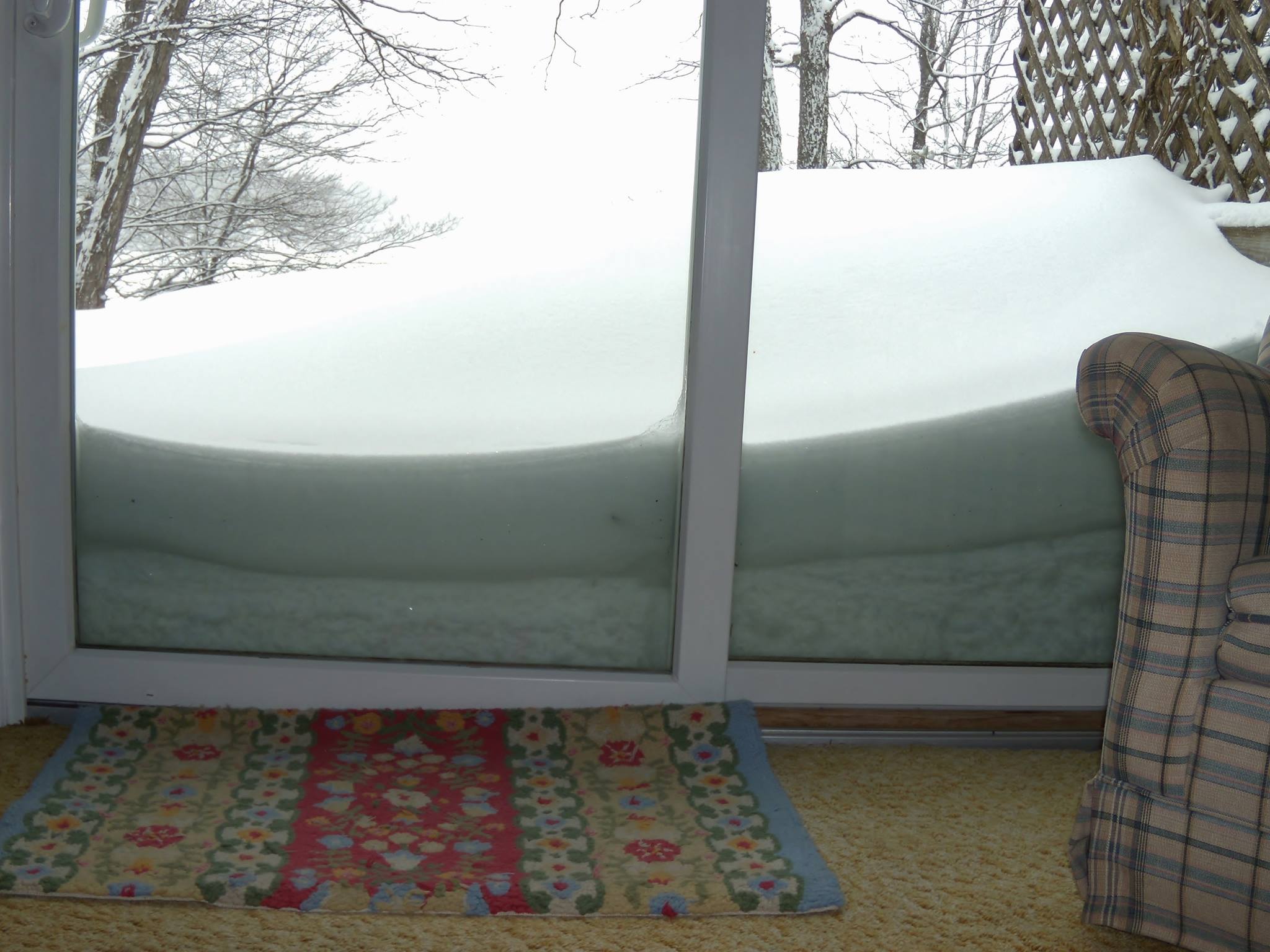 |
| Large Snow Drifts Luzerne, MI - Kitty Warner |
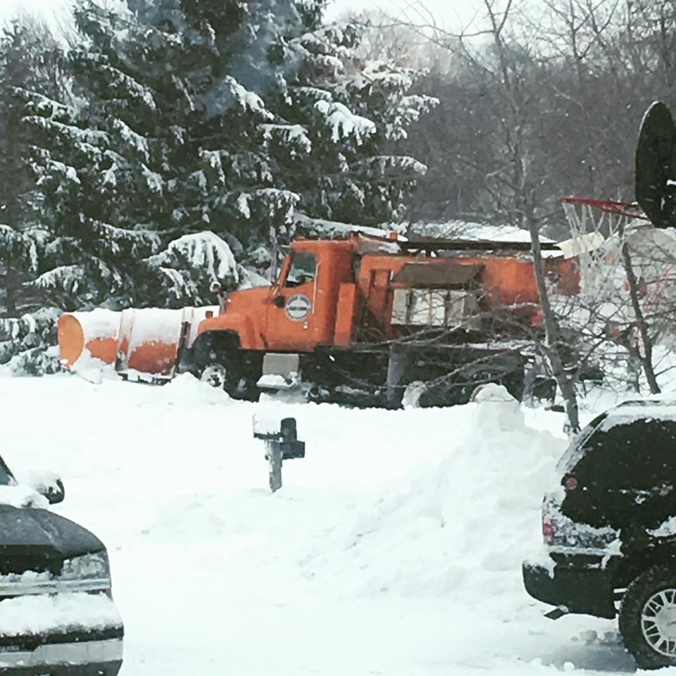
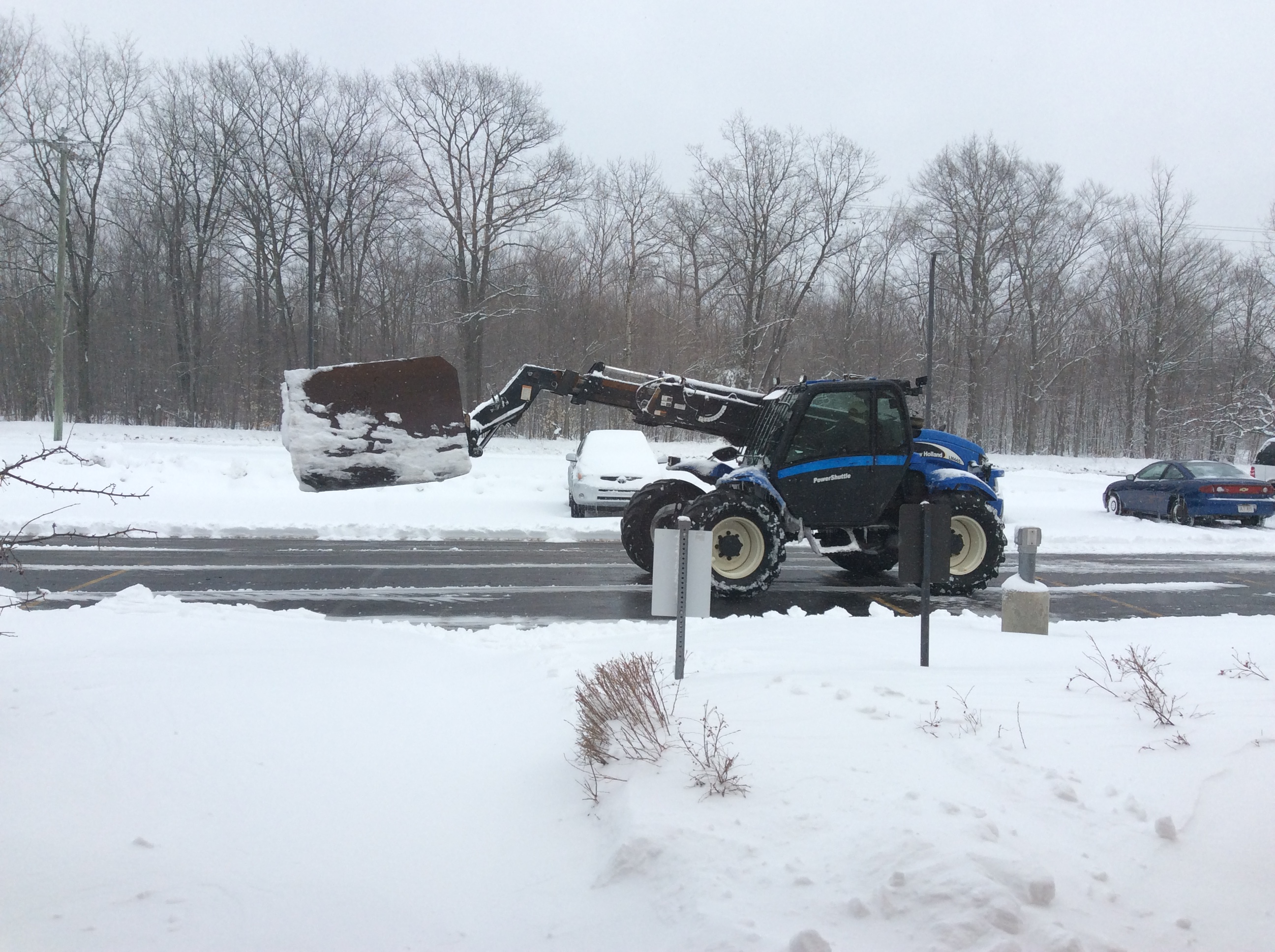
Plow Stuck in the Snow Gaylord, MI - Kim Sparks Hattis |
Saturday Morning Snowfall East Jordan, MI - Amie Sattler |
Saturday Morning Snowfall Elmira, MI - Linda Darnton |
 |
 |
 |
 |
| Drifting Snow Elmira, MI - Linda Darnton |
Saturday Morning Snowfall Gaylord, MI - Jim Keysor |
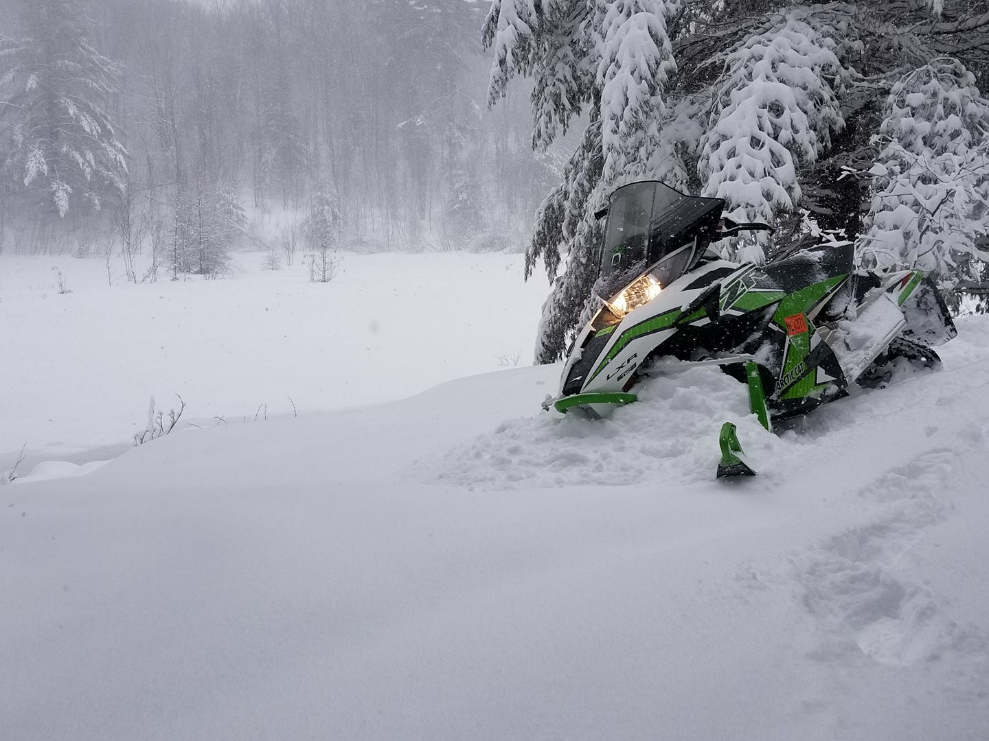
Pines Weighed Down by Snow Vanderbilt, MI - Mike Kurz | Late Season Snowmobiler Surprise Gaylord, MI - Scott Snow |
 |
 |
 |
 |
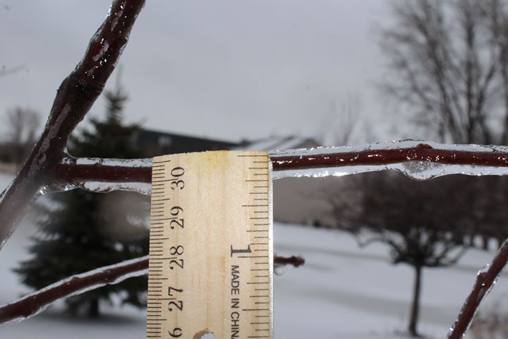
| Sunday Light Freezing Rain Au Gres, MI - Andrew V. Kent |
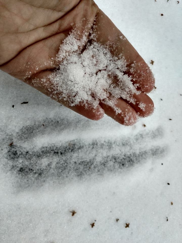
Sunday Sleet Accumulation Rogers City, MI - Brad Taylor |
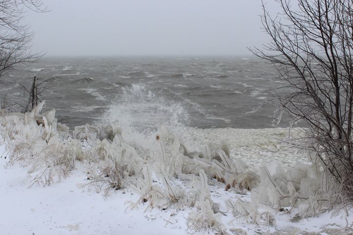
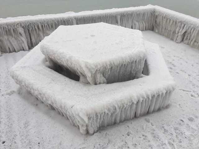
Angry Lake Huron Waves Au Gres, MI - Andrew V. Kent |
Angry Lake Huron Aftermath Tawas City, MI - Lisa Semple Ernst |
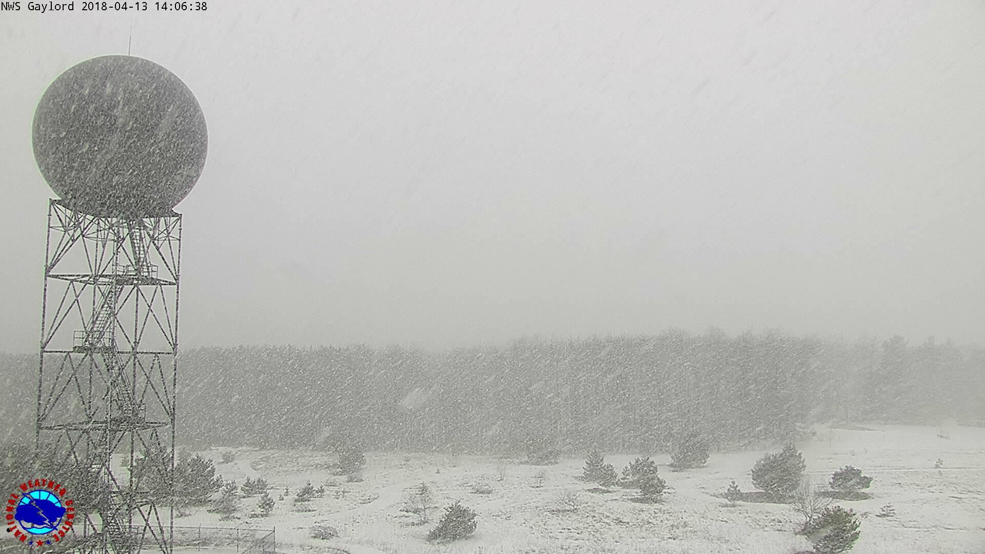
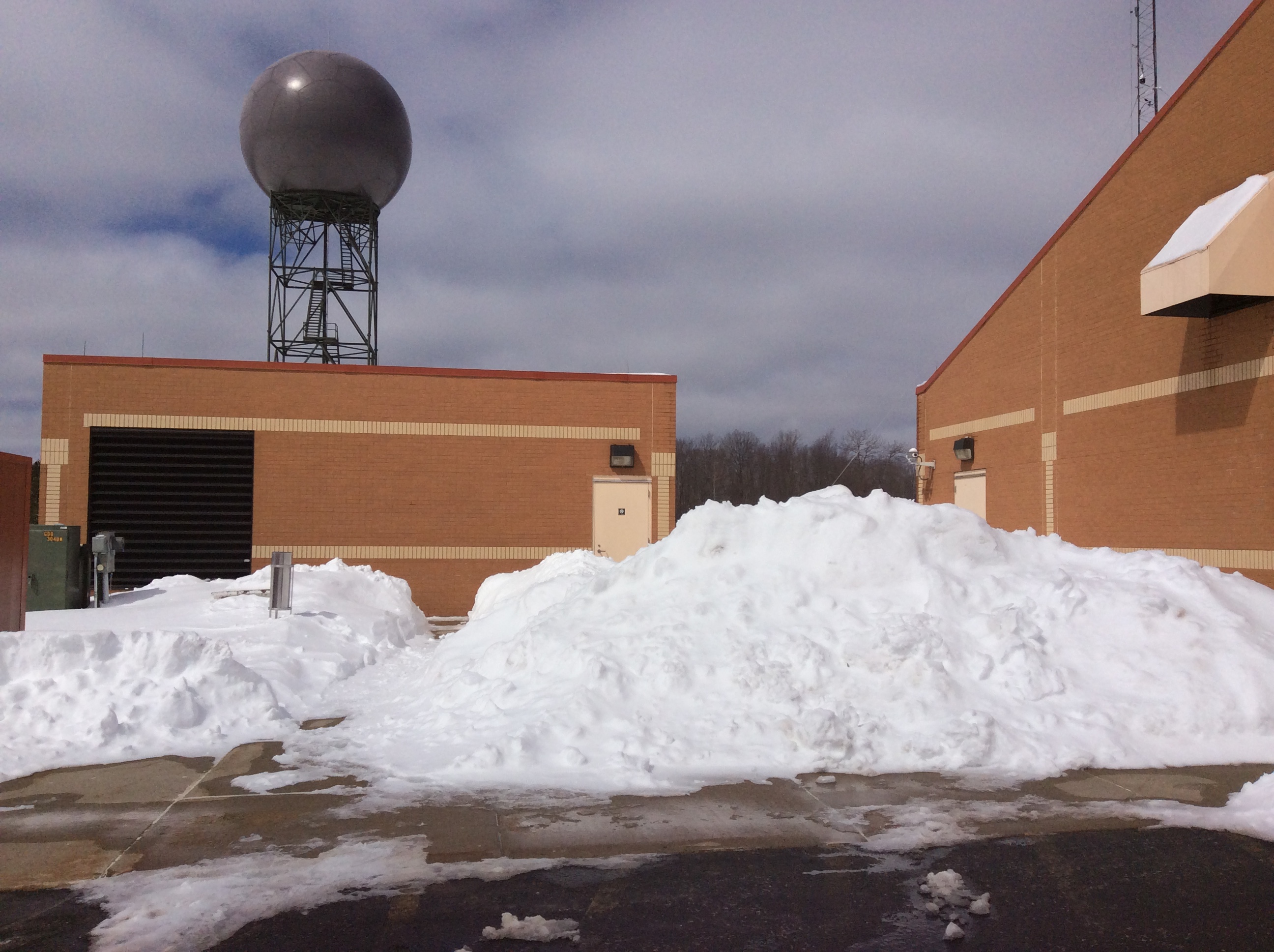
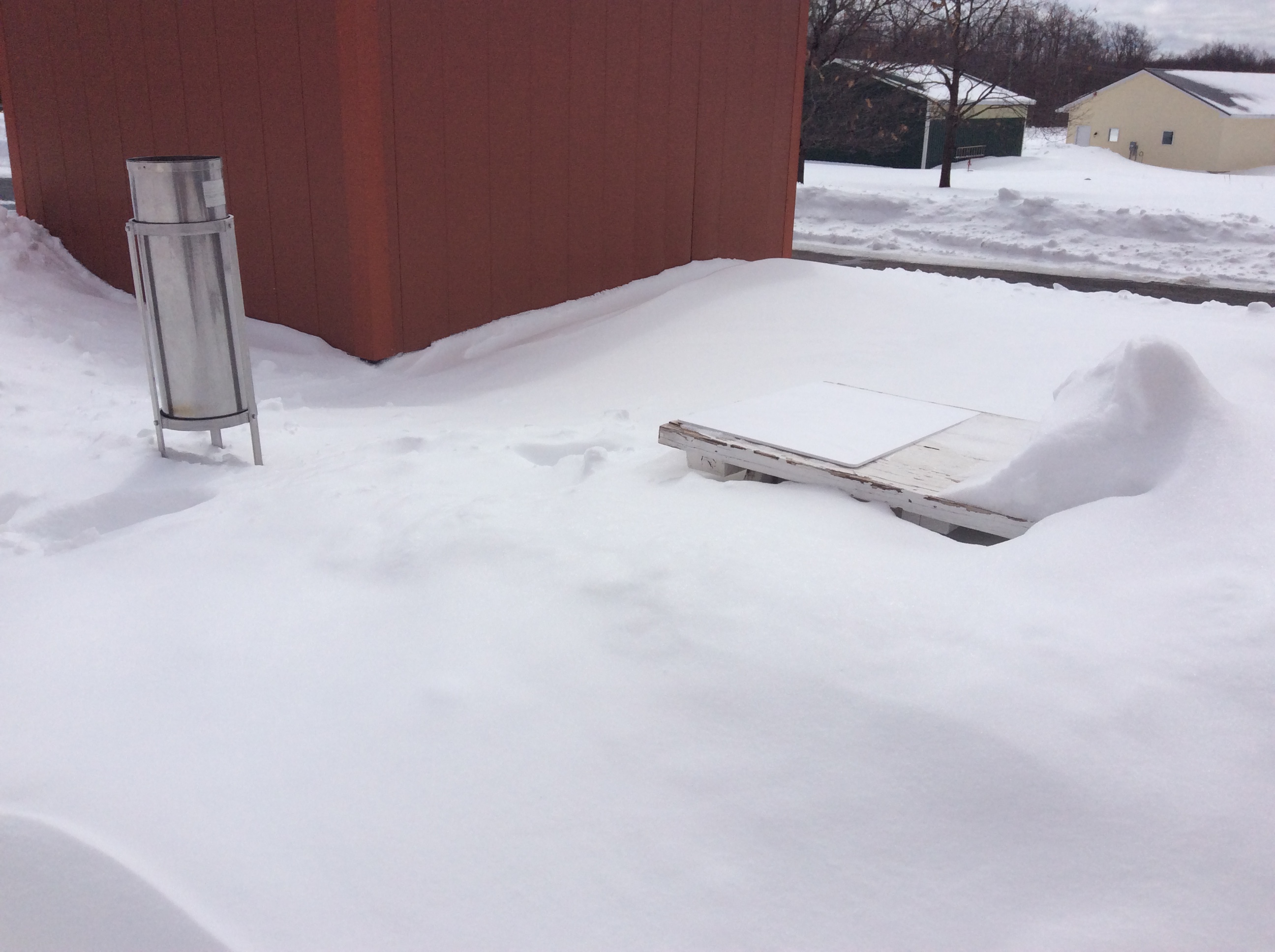
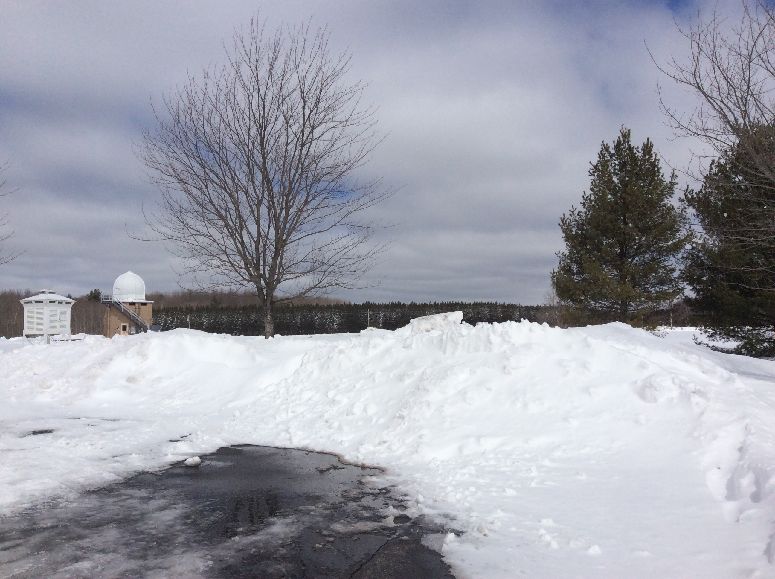
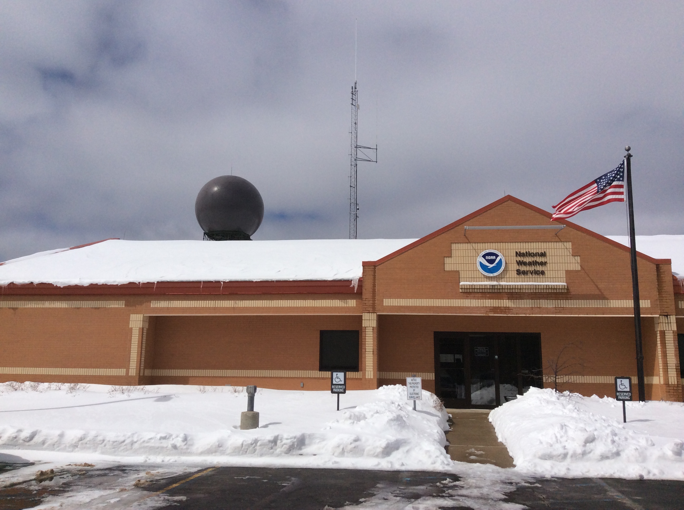
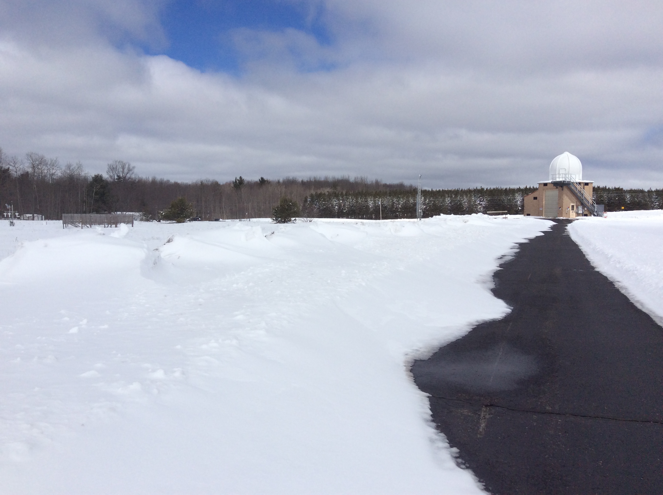
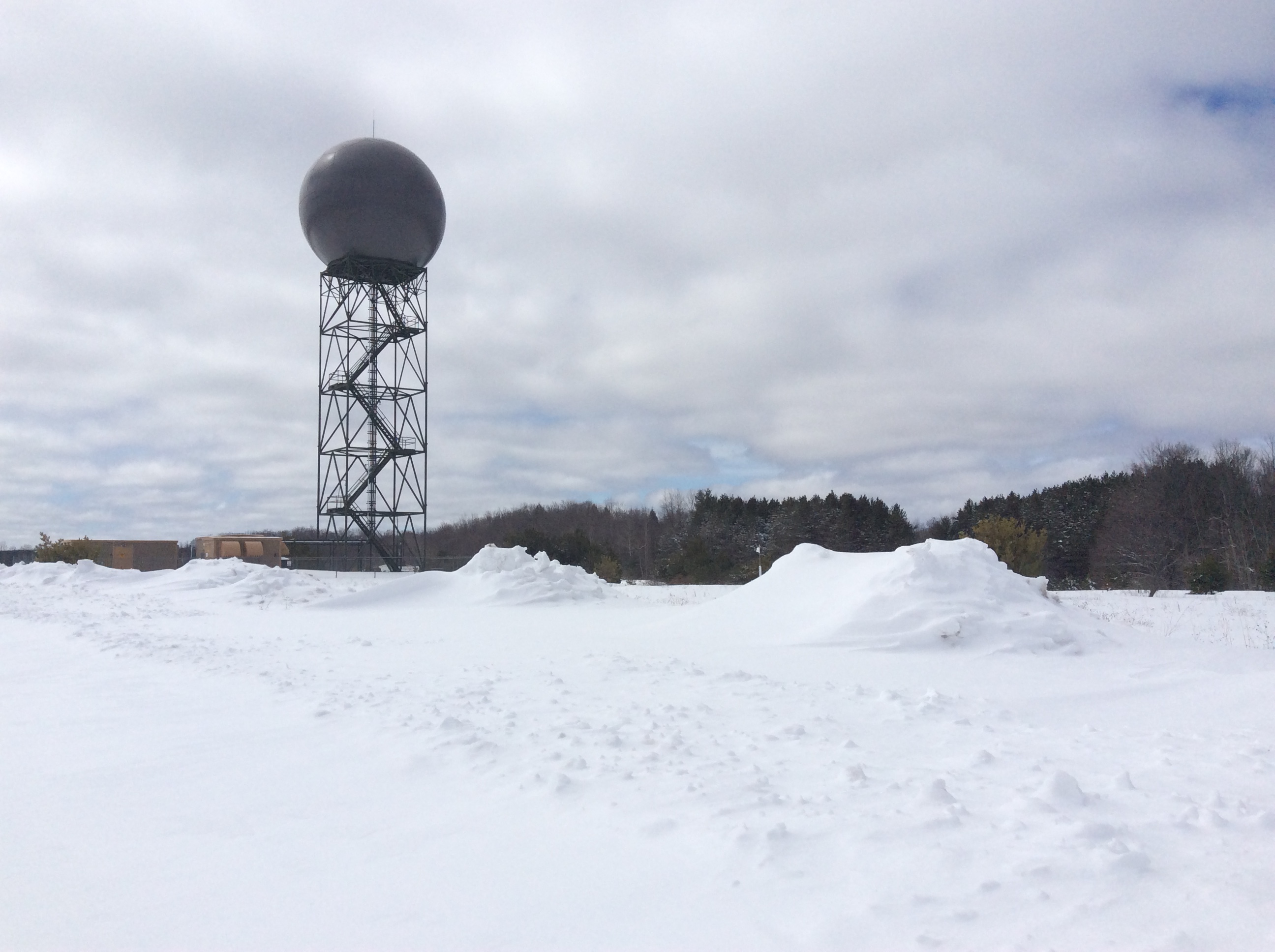
Around NWS Gaylord
 |
 |
 |
 |
 |
 |
 |
 |
 |
Snowfall Reports
...Storm Total Snowfall Reports From April 13-17 Winter Storm...

Location                     Amount (inches)

...Cooperative Observers...
Kalkaska	                   26.5
Boyne Falls	                   23.0
NWS Gaylord (9 SSW Gaylord)        21.7
Gaylord	                           21.6
4 N Onaway	                   20.8
Petoskey	                   20.2
1 E Maple City	                   20.0
2 NW East Jordan	           19.5
Alpena	                           19.3
6 SSW Suttons Bay	           19.0
Charlevoix	                   18.5
2 W Northport                      18.4
Traverse City	                   16.9
11 SE Kalkaska	                   16.5
De Tour Village	                   15.5
St. Ignace	                   13.5
Paradise	                   12.4
Cheboygan	                   12.0
2 WNW Fife Lake	                   10.1
Moran	                            9.8
East Tawas	                    9.7
Hale Loud Dam                       9.5
Sault Ste. Marie                    9.4
1 S Lupton	                    9.1
2 NNE Harrisville	            8.1
Engadine	                    8.0
2 SE Glennie	                    7.4
3 SE West Branch	            7.1
Houghton Lake	                    6.5
1 N Wellston	                    6.2
Cadillac	                    4.5
Lake City	                    4.4
4 NE Standish	                    3.6
Gladwin	                            3.5

...CoCoRaHS Observers...
10.7 SW Gaylord	                   25.8
4.7 ESE Traverse City	           16.9
15.8 NE Grayling	           15.0
2.4 NE Luzerne	                   13.0
1.6 SSW Alpena                     11.8
2.9 NE Drummond	                   11.5
4.5 NNE National City              10.8
3.2 ESE Cedarville	            9.8
5.3 S Benzonia	                    7.9
2.7 ENE Kingsley	            7.0
5 SSW Lake City	                    7.0
0.8 WSW East Tawas	            6.7
4 WNW Wellston	                    4.0


Observations are collected from a variety of sources with varying
equipment and exposures. We thank all volunteer weather observers
for their dedication. Not all data listed are considered official.
Wind Reports
PRELIMINARY LOCAL STORM REPORT
NATIONAL WEATHER SERVICE GAYLORD MI
611 AM EDT SUN APR 15 2018

..TIME...   ...EVENT...      ...CITY LOCATION...     ...LAT.LON...
..DATE...   ....MAG....      ..COUNTY LOCATION..ST.. ...SOURCE....
            ..REMARKS..

0300 AM     HIGH SUST WINDS  3 WSW ELBERTA           44.60N 86.30W
04/15/2018  M46 MPH          LMZ346             MI   BUOY

            BUOY STATION WXY6216, 3 WSW ELBERTA.

0310 AM     NON-TSTM WND GST MANCELONA               44.90N 85.07W
04/15/2018  M47 MPH          ANTRIM             MI   MESONET

            MESONET STATION D3512, MANCELONA.

0317 AM     NON-TSTM WND GST 2 WNW ELMIRA            45.08N 84.89W
04/15/2018  M47 MPH          ANTRIM             MI   MESONET

            MESONET STATION MC050, 2 WNW ELMIRA.

0334 AM     NON-TSTM WND GST 1 WNW WATERS            44.91N 84.72W
04/15/2018  M44 MPH          OTSEGO             MI   MESONET

            MESONET STATION D5664, 1 WNW WATERS.

0335 AM     NON-TSTM WND GST CHARLEVOIX - MUNICIPAL  45.30N 85.27W
04/15/2018  M41 MPH          CHARLEVOIX         MI   AWOS

            AWOS STATION CVX, CHARLEVOIX - MUNICIPAL
            ARPT.

0335 AM     NON-TSTM WND GST CHEBOYGAN - CHEBOYGAN C 45.65N 84.53W
04/15/2018  M45 MPH          CHEBOYGAN          MI   AWOS

            AWOS STATION SLH, CHEBOYGAN - CHEBOYGAN
            COUNTY ARPT.

0335 AM     NON-TSTM WND GST HARBOR SPRINGS - MUNICI 45.42N 84.91W
04/15/2018  M44 MPH          EMMET              MI   AWOS

            AWOS STATION MGN, HARBOR SPRINGS - MUNICIPAL
            ARPT.

0337 AM     NON-TSTM WND GST BEAVER ISLAND           45.69N 85.57W
04/15/2018  M45 MPH          CHARLEVOIX         MI   AWOS

            AWOS STATION SJX, BEAVER ISLAND.

0347 AM     NON-TSTM WND GST 1 S MACKINAW CITY       45.76N 84.73W
04/15/2018  M47 MPH          CHEBOYGAN          MI   MESONET

            MESONET STATION MC024, 1 S MACKINAW CITY.

0355 AM     NON-TSTM WND GST MACKINAC ISLAND         45.87N 84.64W
04/15/2018  M47 MPH          MACKINAC           MI   AWOS

            AWOS STATION MCD, MACKINAC ISLAND.

0402 AM     NON-TSTM WND GST EVERGREEN SHORES        45.90N 84.74W
04/15/2018  M40 MPH          MACKINAC           MI   MESONET

            MESONET STATION MC012, EVERGREEN SHORES.

0410 AM     NON-TSTM WND GST PELLSTON - RGNL AIRPORT 45.57N 84.80W
04/15/2018  M44 MPH          EMMET              MI   ASOS

            ASOS STATION PLN, PELLSTON - RGNL AIRPORT OF
            EMMET COUNTY.

0430 AM     NON-TSTM WND GST MACKINAW CITY           45.78N 84.73W
04/15/2018  M47 MPH          CHEBOYGAN          MI   BUOY

            BUOY STATION MACM4, MACKINAW CITY.

0433 AM     NON-TSTM WND GST GAYLORD - OTSEGO COUNTY 45.02N 84.70W
04/15/2018  M39 MPH          OTSEGO             MI   ASOS

            ASOS STATION GLR, GAYLORD - OTSEGO COUNTY
            AIRPORT.

0500 AM     HIGH SUST WINDS  3 WNW MACKINAW CITY     45.80N 84.80W
04/15/2018  M46 MPH          LHZ345             MI   BUOY

            BUOY STATION WDE3569, 3 WNW MACKINAW CITY.

0540 AM     NON-TSTM WND GST 2 SE EAST TAWAS         44.26N 83.44W
04/15/2018  M46 MPH          IOSCO              MI   MESONET

            MESONET STATION TAWM4, 2 SE EAST TAWAS.

Observations are collected from a variety of sources with varying
equipment and exposures. We thank all volunteer weather observers
for their dedication. Not all data listed are considered official.
Meteorology
Surface and Upper Air Observations
 |
 |
 |
| Surface analysis 4/12/2018 - 4/17/2018 |
925 mb observations 4/12/2018 - 4/17/2018 |
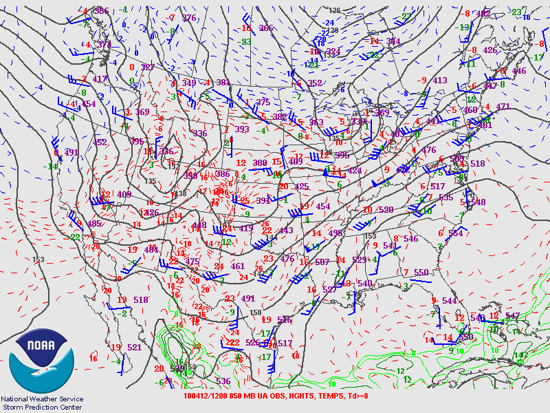
850 mb observations 4/12/2018 - 4/17/2018 |
 |
 |
 |
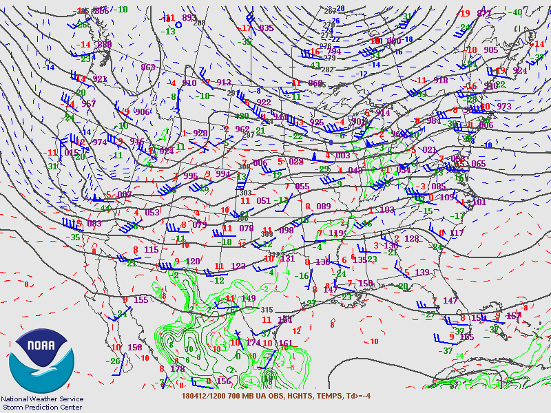
| 700 mb observations 4/12/2018 - 4/17/2018 |
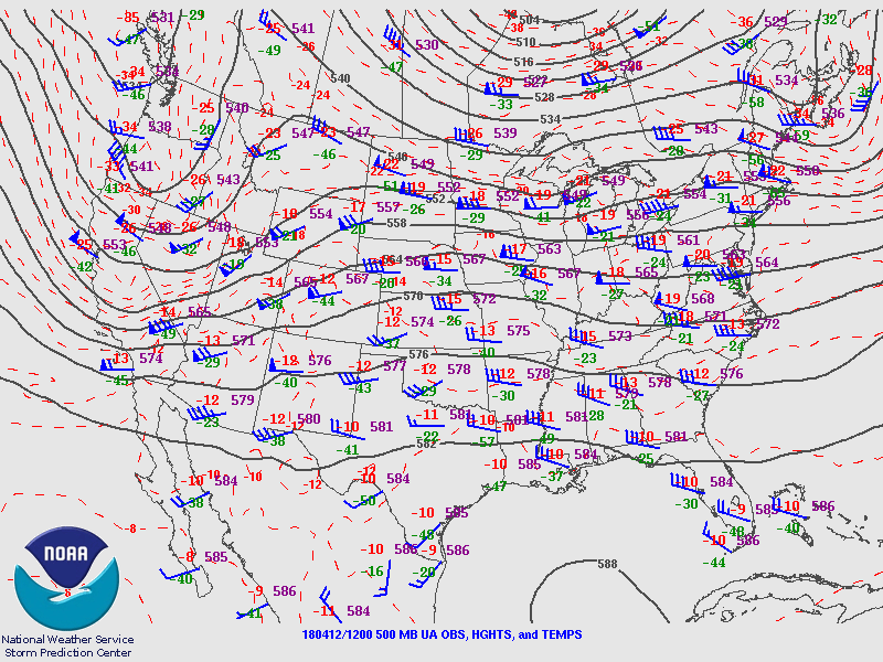
500 mb observations 4/12/2018 - 4/17/2018 |
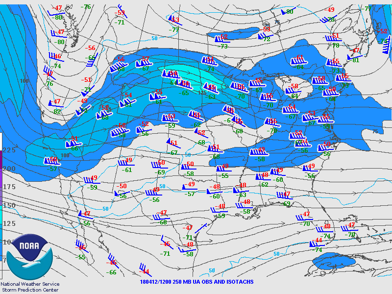
250 mb observations 4/12/2018 - 4/17/2018 |
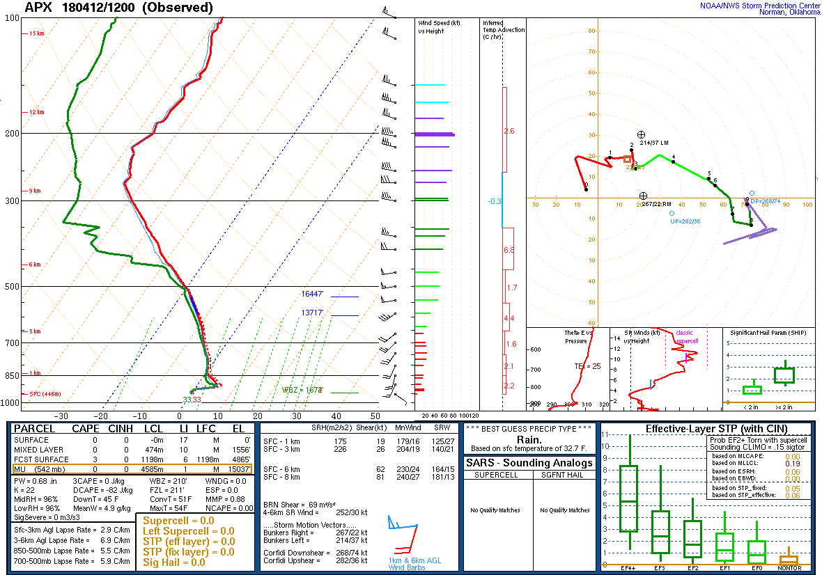
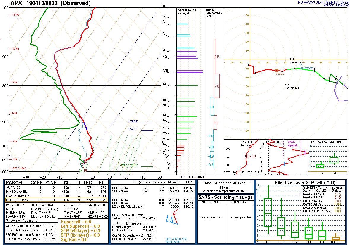
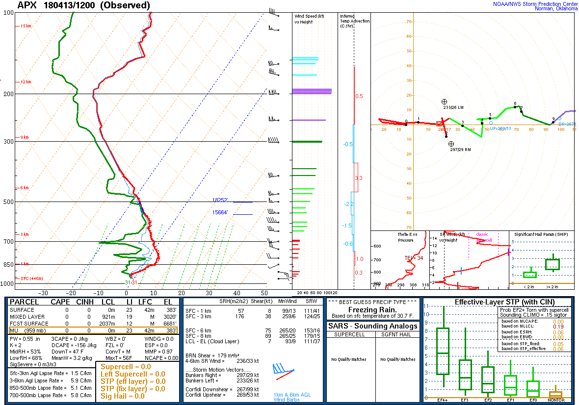
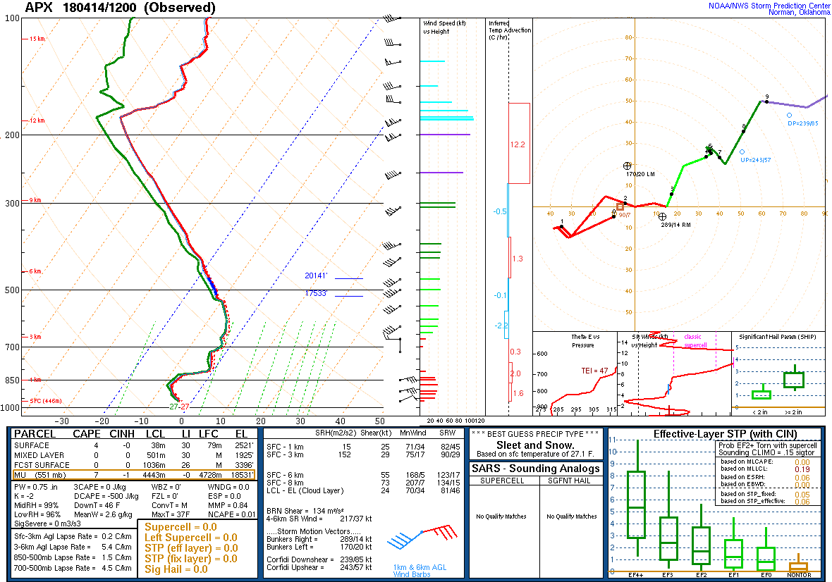
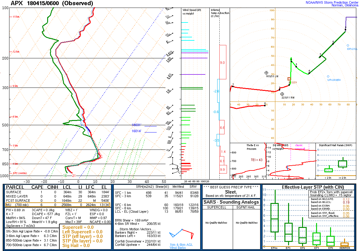
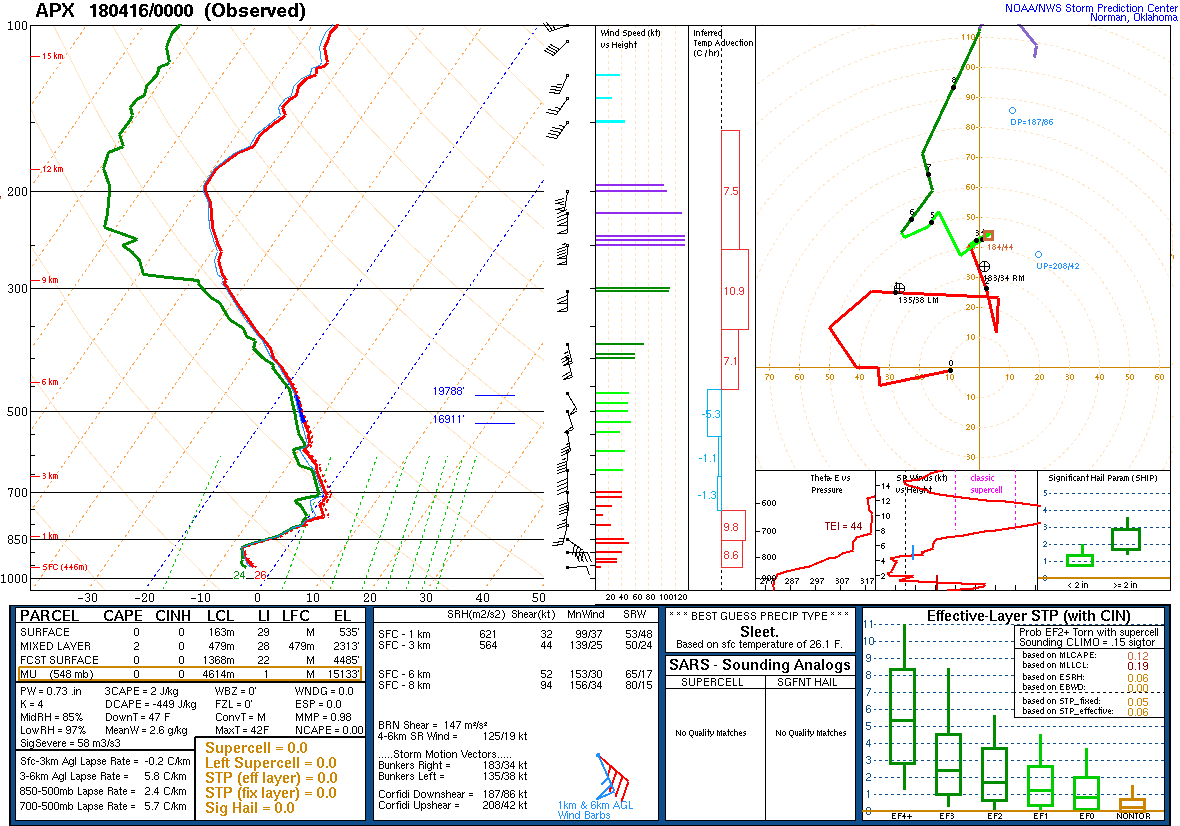
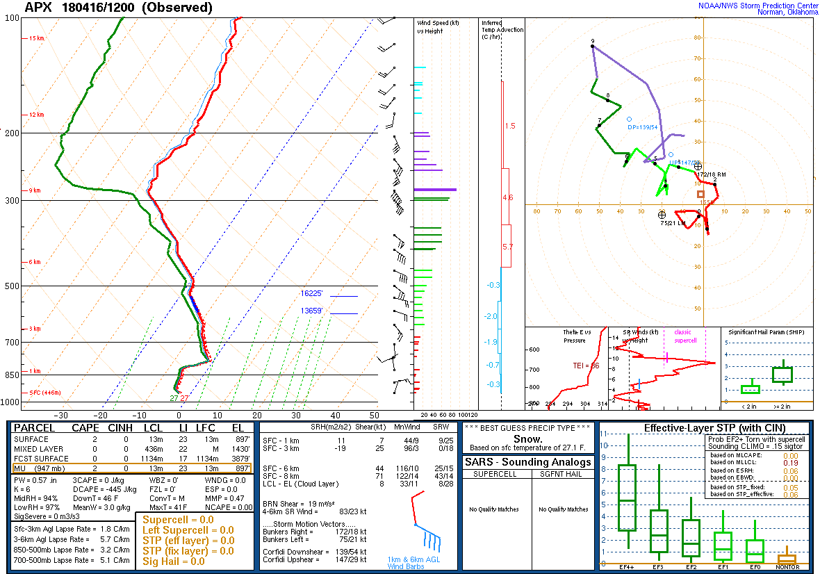
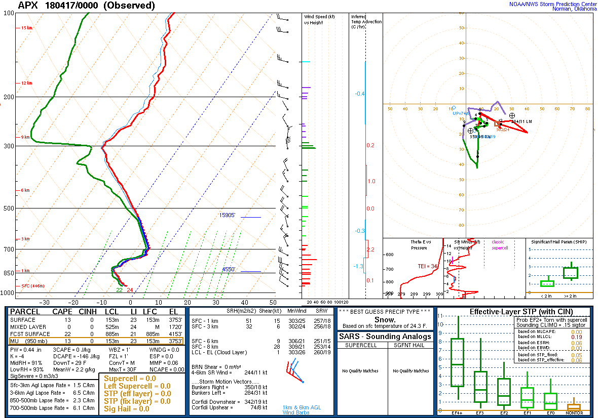
Gaylord, MI (KAPX) Upper Air Soundings
 |
 |
 |
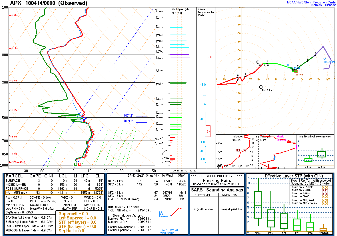 |
| 4/12/2018 12Z | 4/13/2018 00Z | 4/13/2018 12Z | 4/14/2018 00Z |
 |
 |
 |
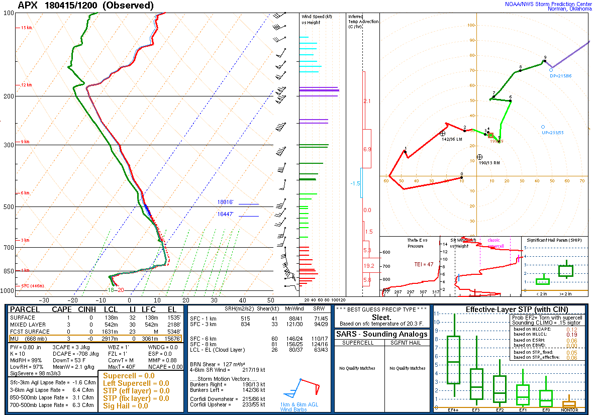 |
| 4/14/2018 12Z | 4/15/2018 00Z | 4/15/2018 06Z Special | 4/15/2018 12Z |
 |
 |
 |
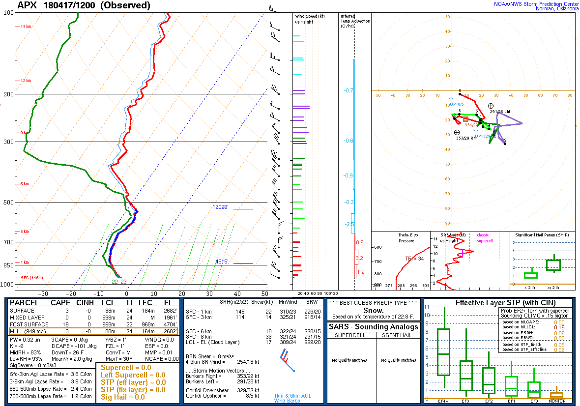 |
| 4/16/2018 00Z | 4/16/2018 12Z | 4/17/2018 00Z | 4/17/2018 12Z |
 |
Media use of NWS Web News Stories is encouraged! Please acknowledge the NWS as the source of any news information accessed from this site. |
|

