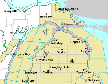
Snowfall is expected to overspread northern Michigan later Tuesday morning…with the heaviest snowfall expected Tuesday afternoon and early evening before tapering off. Highest accumulations are expected from the Tip of the Mitt northward into eastern Upper where snow amounts may exceed 8 inches. Brisk south winds will also contribute to blowing and drifting snow. Read More >
Gaylord, MI
Weather Forecast Office
Current Weather
| Hazard Map | Radar | ||||||||
|---|---|---|---|---|---|---|---|---|---|
![]() |
|
||||||||
| River Levels | Precipitation Estimate | ||||||||
![]() |
|
Precipitation Outlook
| Day 1 Outlook | Day 2 Outlook |
|---|---|
![]() |
![]() |
| Day 3 Outlook | River Flood Outlook |
![]() |
|


