Overview
|
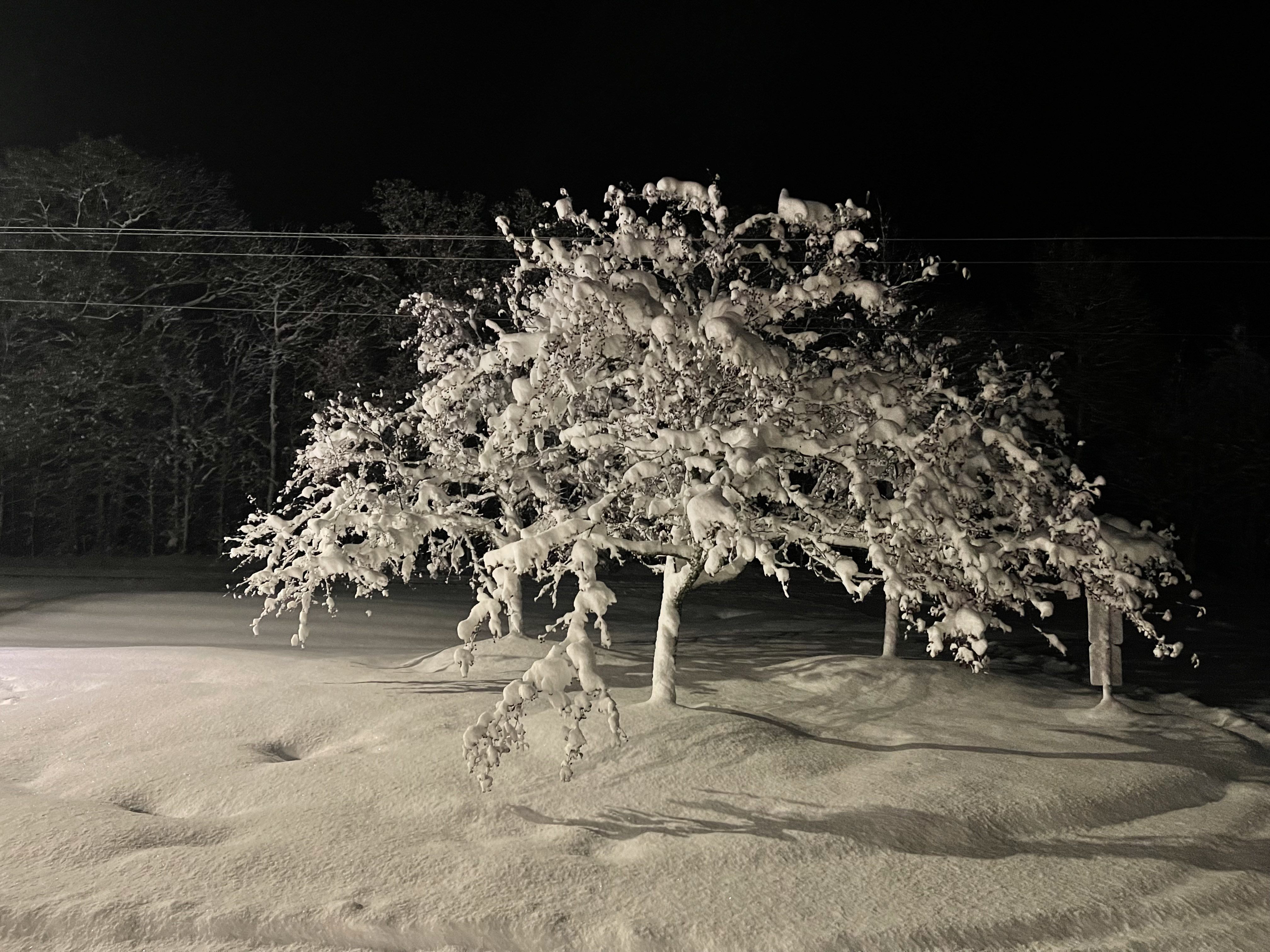
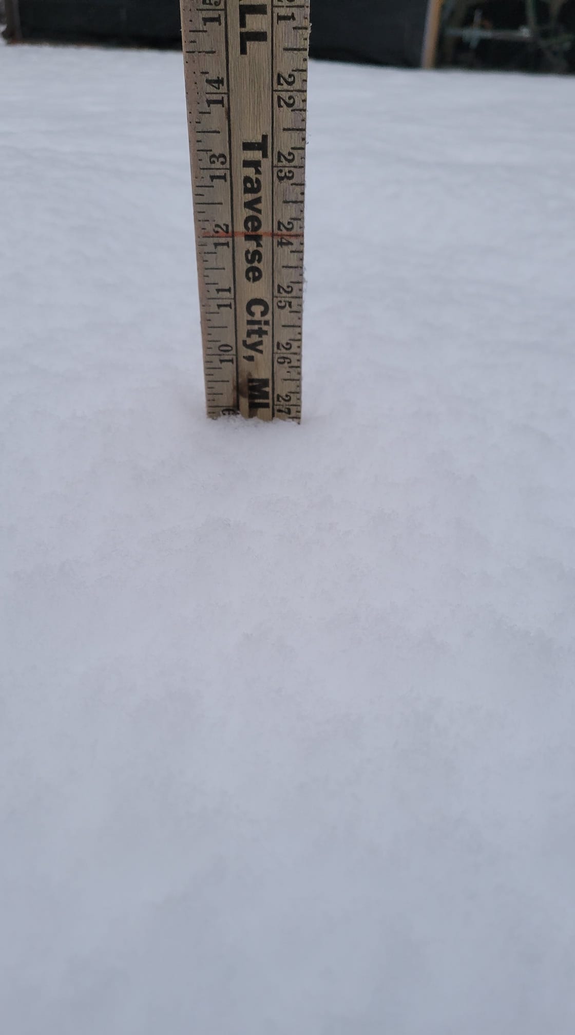
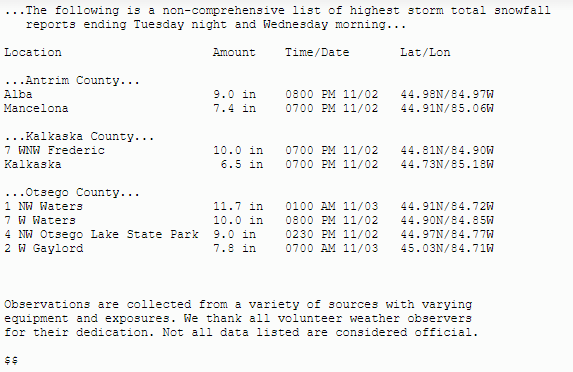
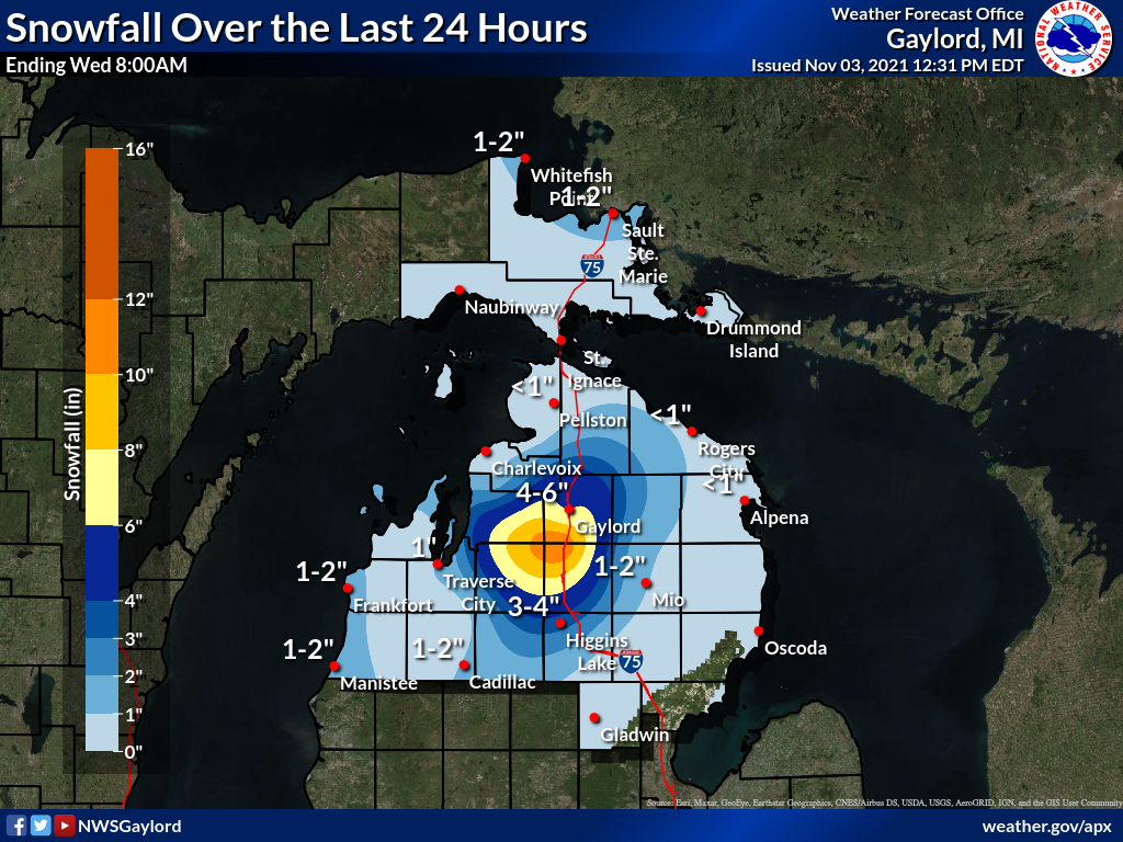
Lake effect snow season came in with a bang to start November 2021. As cold air flowed over the relatively warm lakes the lake effect snow machine got going in full force across both Lake Superior and Lake Michigan. Lake generated convection was a combination of cellular structures from diurnal heating and more banded structures, with the best area of convergence provided by surface troughing focusing a band with high snowfall rates (1.0+ in/hr) through the higher terrain surrounding the office. By very early Wednesday morning the office received 11.7 inches of snowfall for the calendar day of November 2nd, setting the record for largest single-day November snowfall. Lake effect snow showers lasted off and on through Wednesday night into Thursday morning. Highest snowfall accumulations were centered on the border of Antrim, Otsego, Kalkaska, and Crawford counties, with a broad area of 8 to 10 inches stretching from Alba to Waters. Areas along the coast received mostly rain with little to no snowfall. Daytime temperatures hovering just above freezing, lingering fall foliage, and the very wet and heavy snowfall produced some tree damage in areas such as Wolverine, Gaylord, and Mancelona. Social media response from this storm was very large, gaining national and international recognition. |
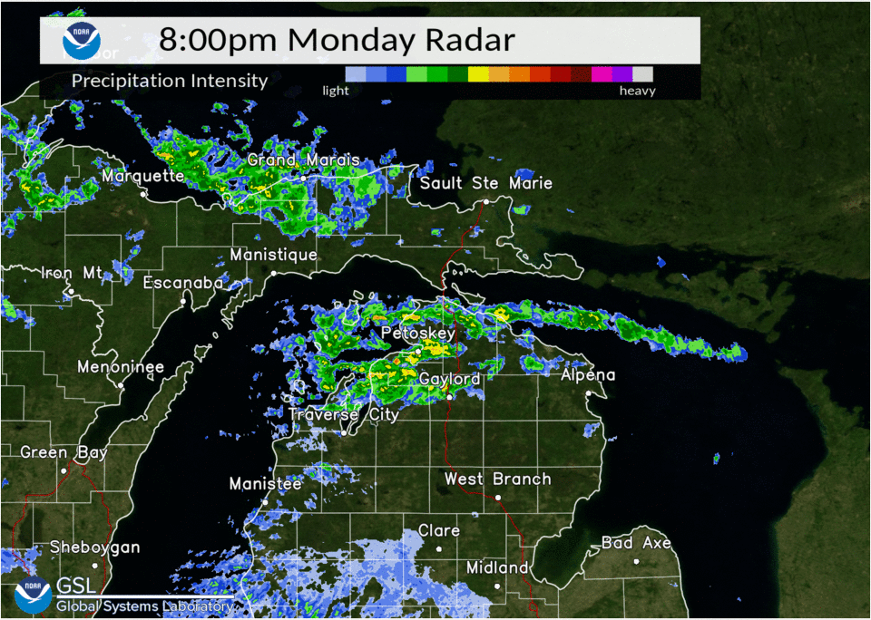 Radar loop of November 2nd to 3rd Lake Effect Snowfall |
Photos (click to enlarge):
Submitted Via Social Media & Emergency Management
 |
 |
 |
|
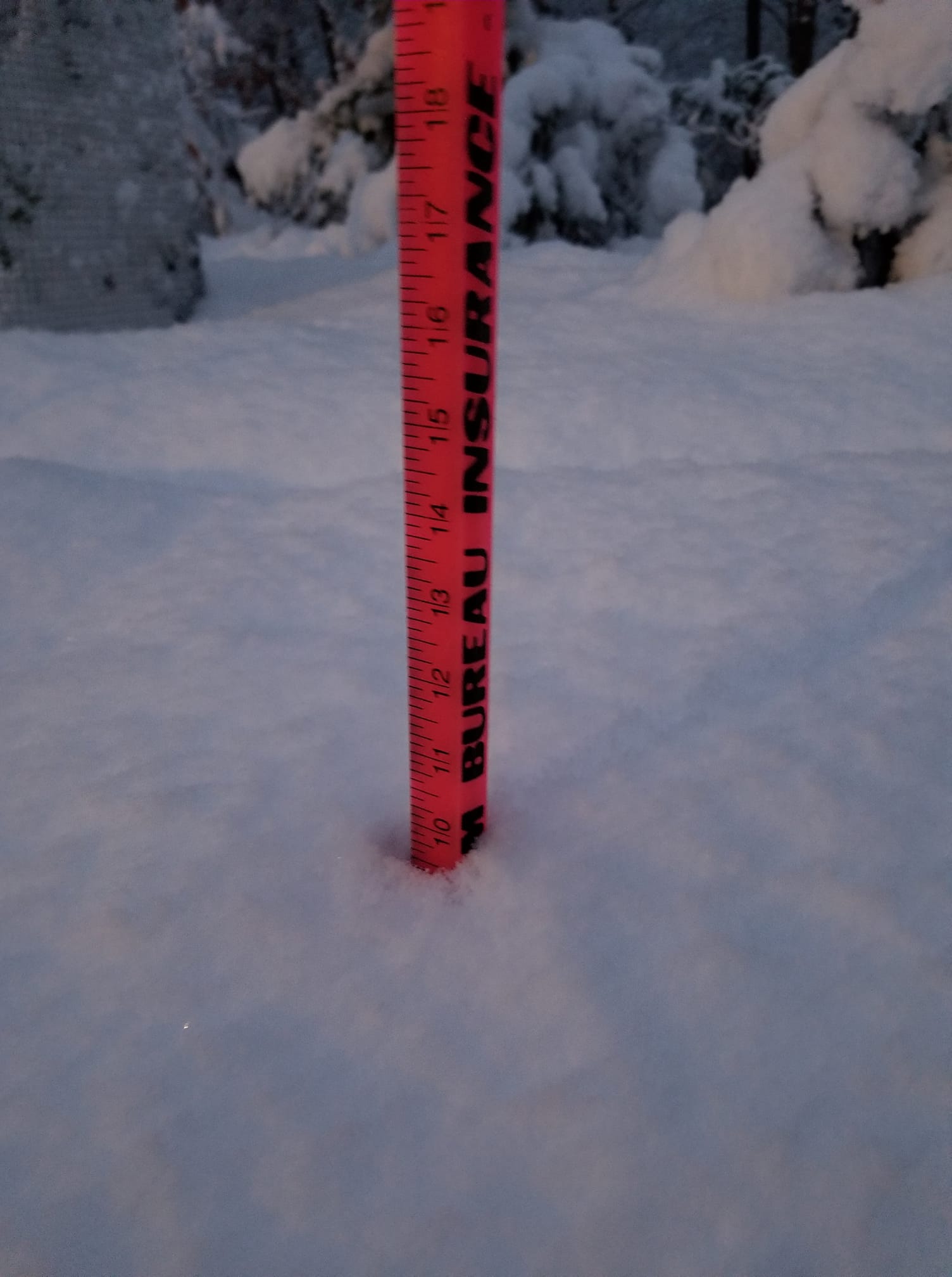
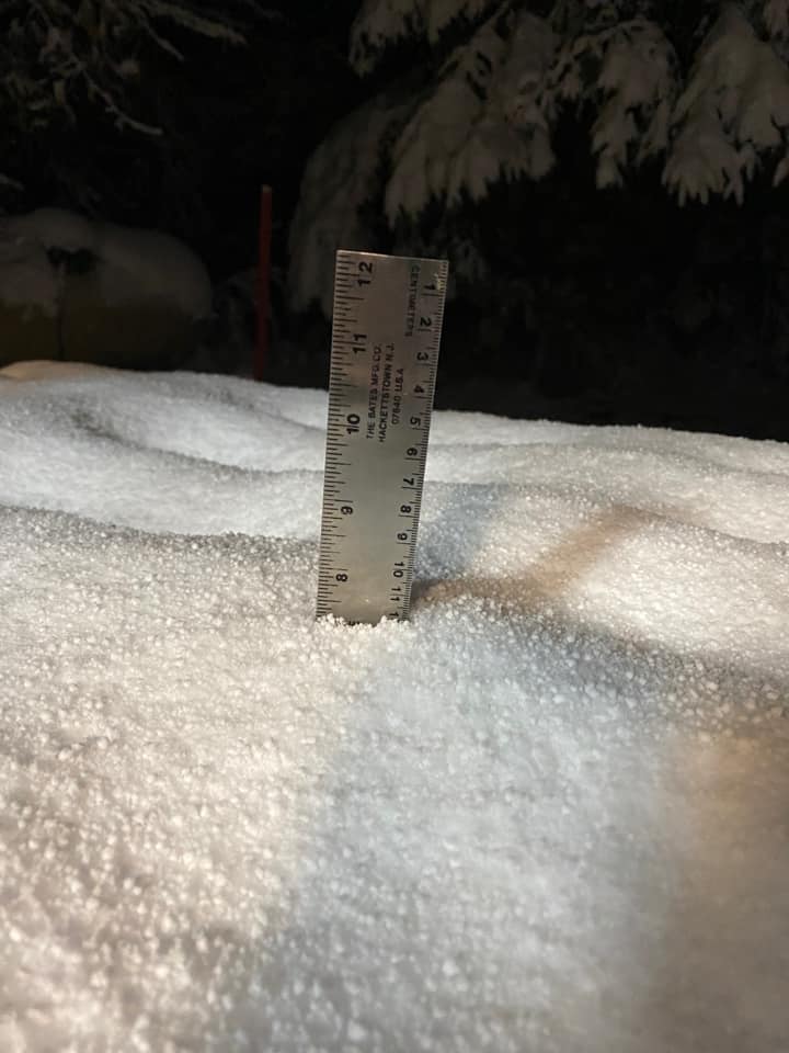
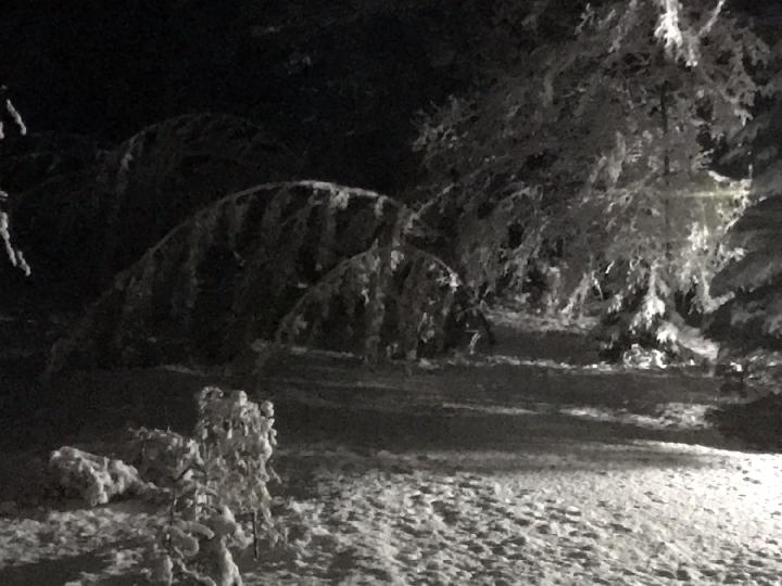
| NWS Office 10pm Tuesday night |
NWS Office 10pm Tuesday night |
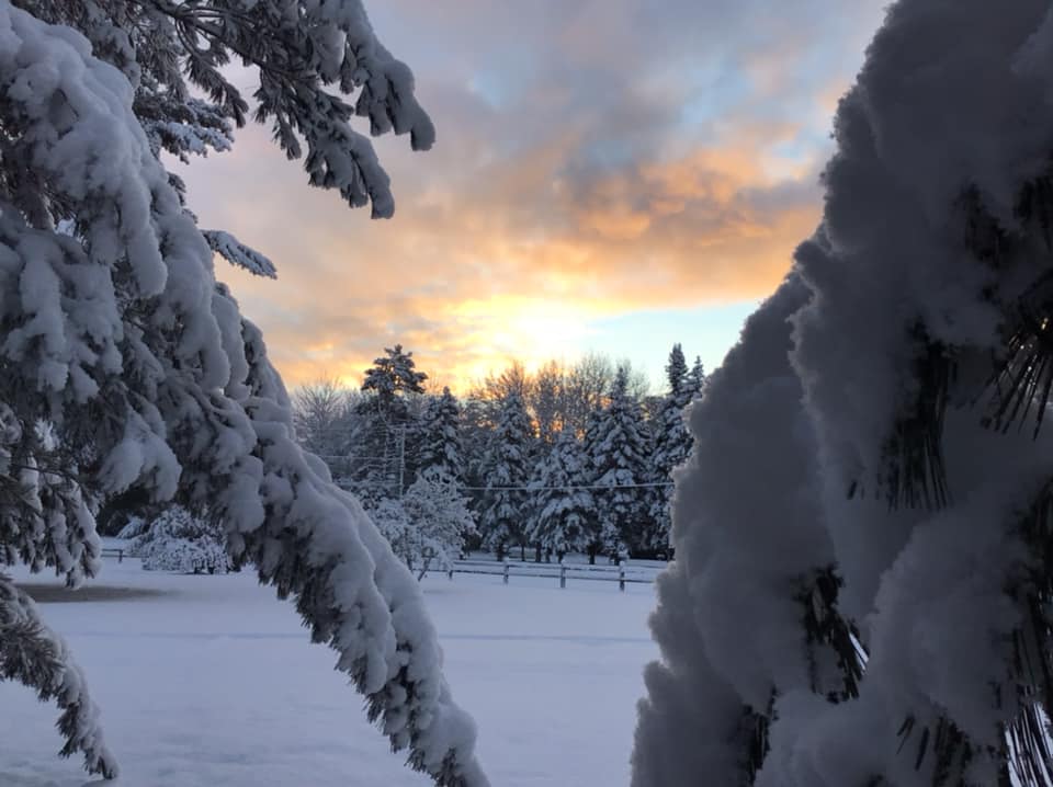
Lakes of the North, MI Lori Wade Britton |
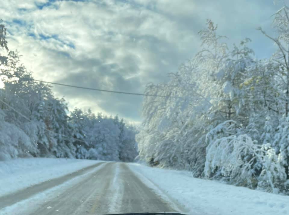
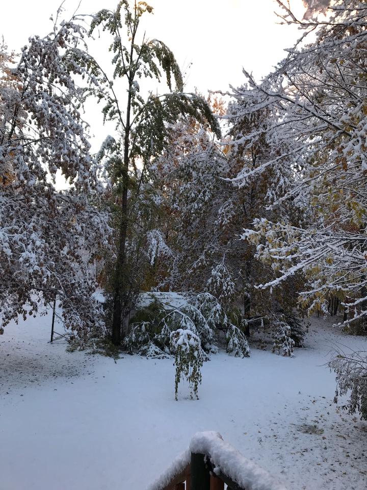
7 miles WNW Frederic, MI Todd Brozovich |
 |
 |
 |
 |
| 5 Miles SSE Mancelona, MI Heidi Jo Wayco-Berden |
Mancelona, MI Joanie Moore |
Pickerel Lake, Kalkaska Co, MI Deb Chandler |
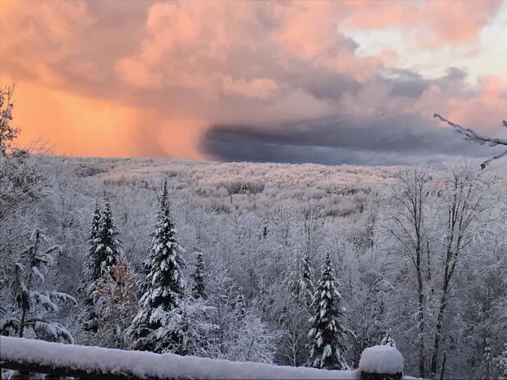
Sault Ste. Marie, MI Holly Nichols |
 |
 |
 |
 |
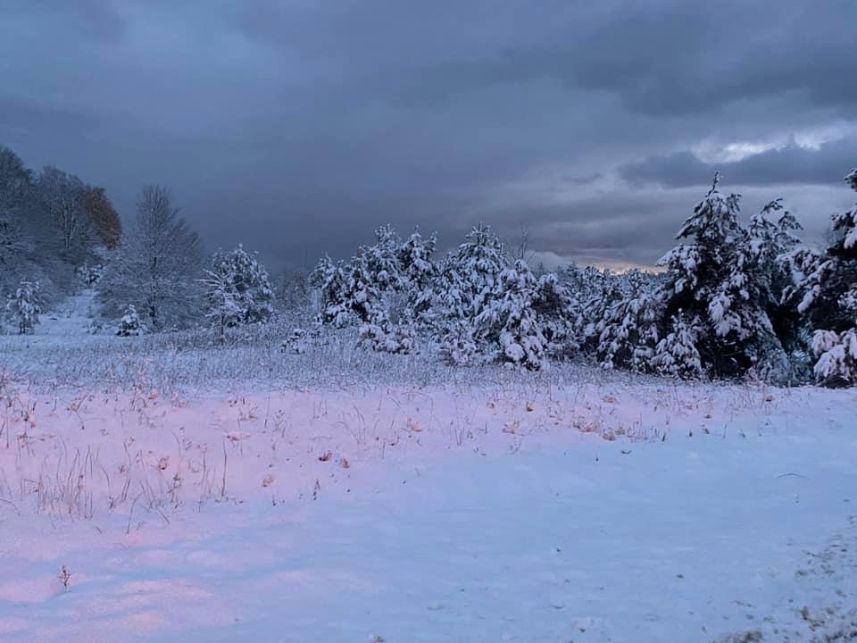
| Fawn Lake, Waters, MI Sue Jordan |
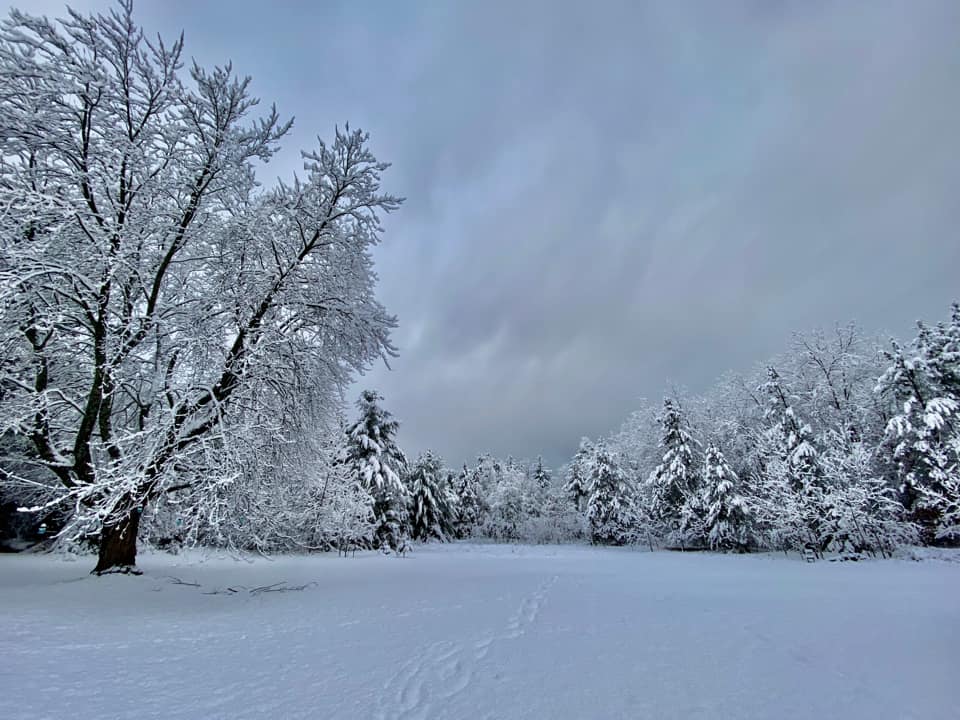
Wolverine, MI Kali Stafford |
Wolverine, MI Kali Stafford |
Wolverine, MI Kali Stafford |
Snowfall Reports
 |
Media use of NWS Web News Stories is encouraged! Please acknowledge the NWS as the source of any news information accessed from this site. |
|