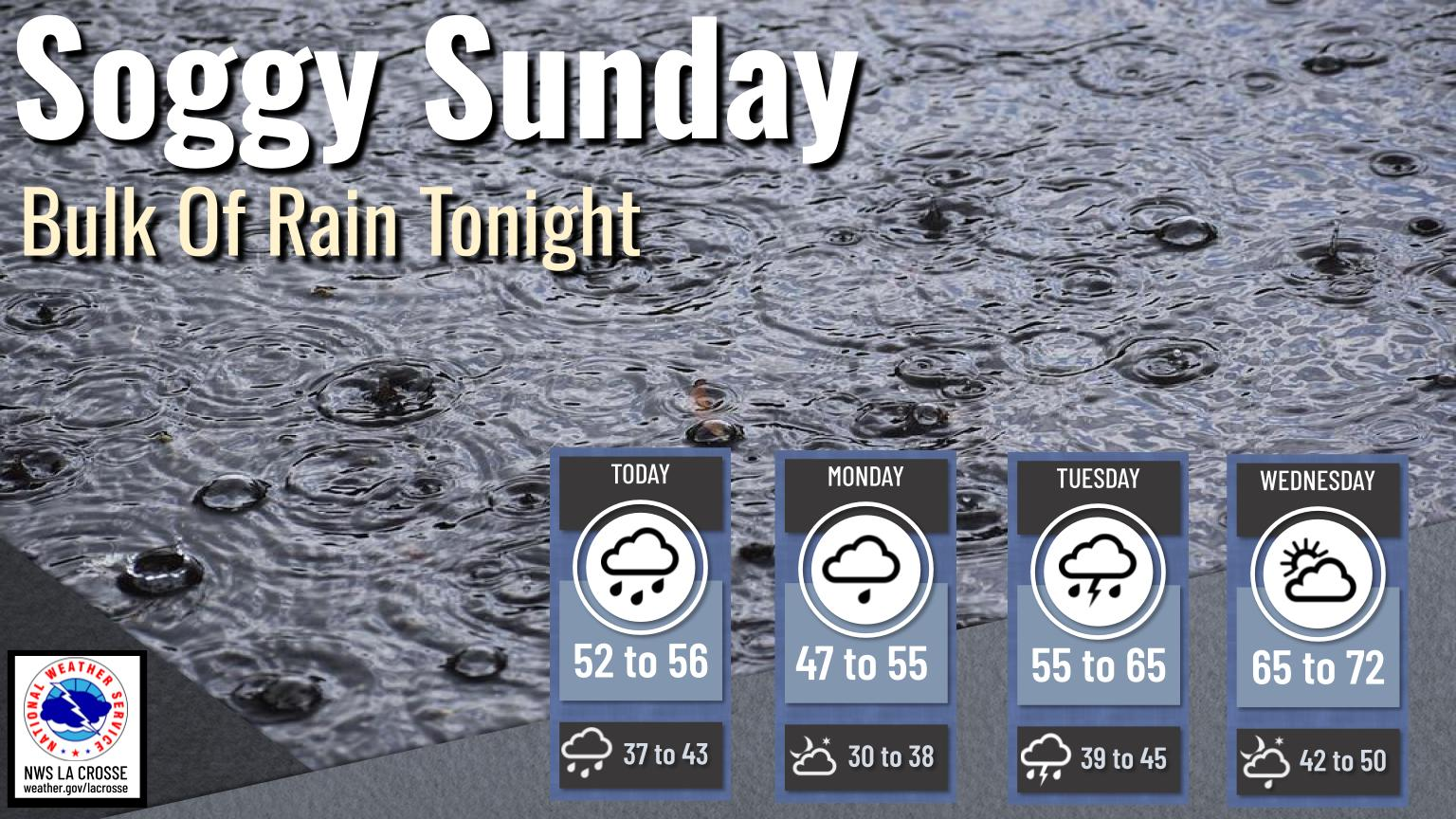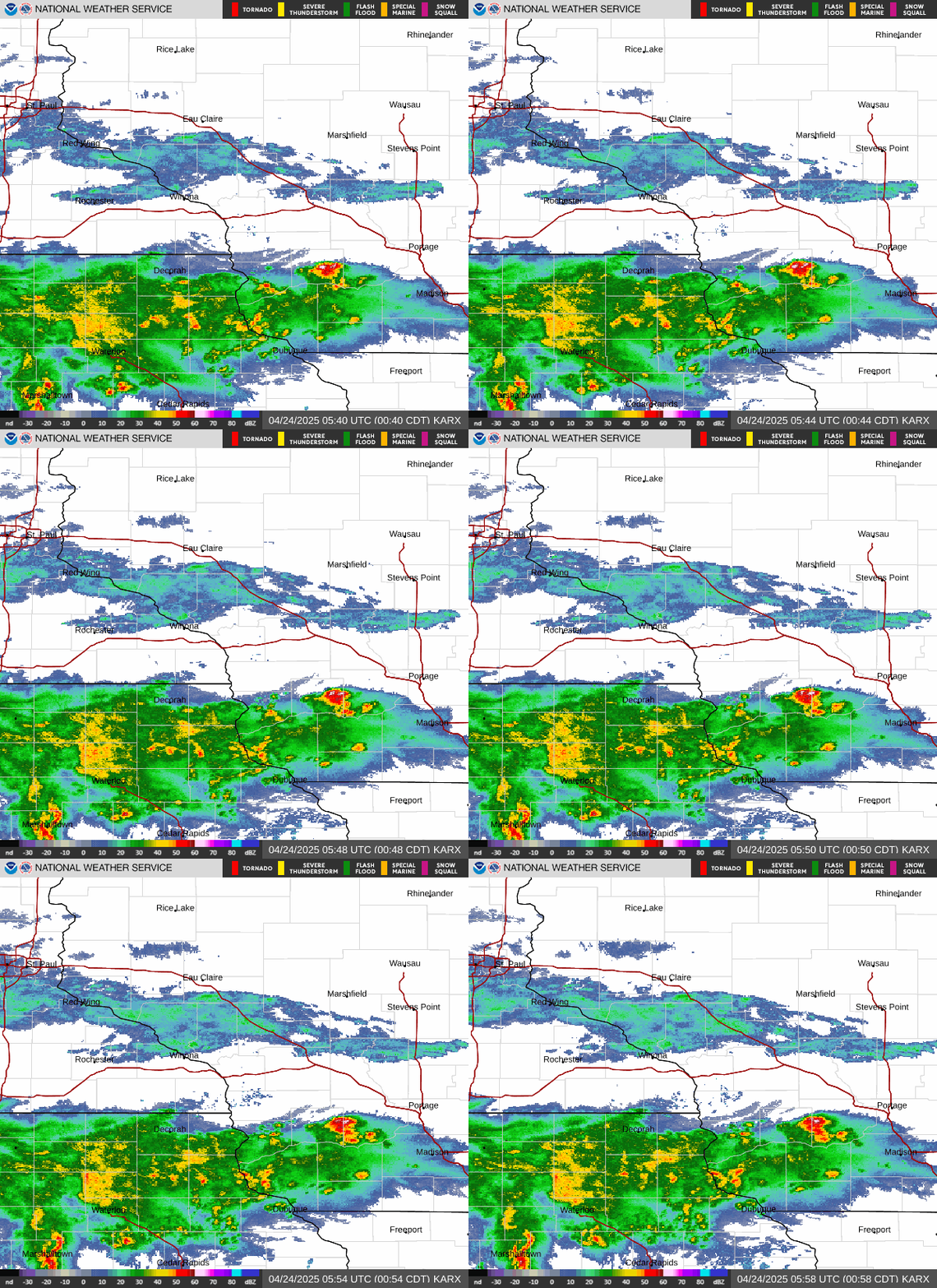
Freezing rain builds into north central Wisconsin this evening and continues through the overnight. Impacts to elevated surfaces possible. Severe thunderstorms are possible this afternoon and evening with the main threat of hail. Heavy rain today with totals of 0.5 to 1.5" expected with locally higher amounts possible... Read More >
|
There will be a risk for severe storms along a fast-moving cold front Thursday afternoon. Damaging winds and a few tornadoes are the main threats. In addition to the severe threat, winds will gust into the 30 to 45 mph range. These winds will be out of the south ahead of the cold front and from the west behind this cold front. Much colder air will move into the region on Thursday night. Wind chills will range from 5 to 15 above late Thursday night and Friday morning.
Thursday: Severe Storms Possible
Thursday-Thursday Night: Gusty Winds
Thursday Night-Friday Morning: Wind Chills
Additional Information:
|
• Submit Report • Severe Monitor Hazardous Weather Outlook Storm Reports

Weather Story 
Radar |