National Weather Service United States Department of Commerce


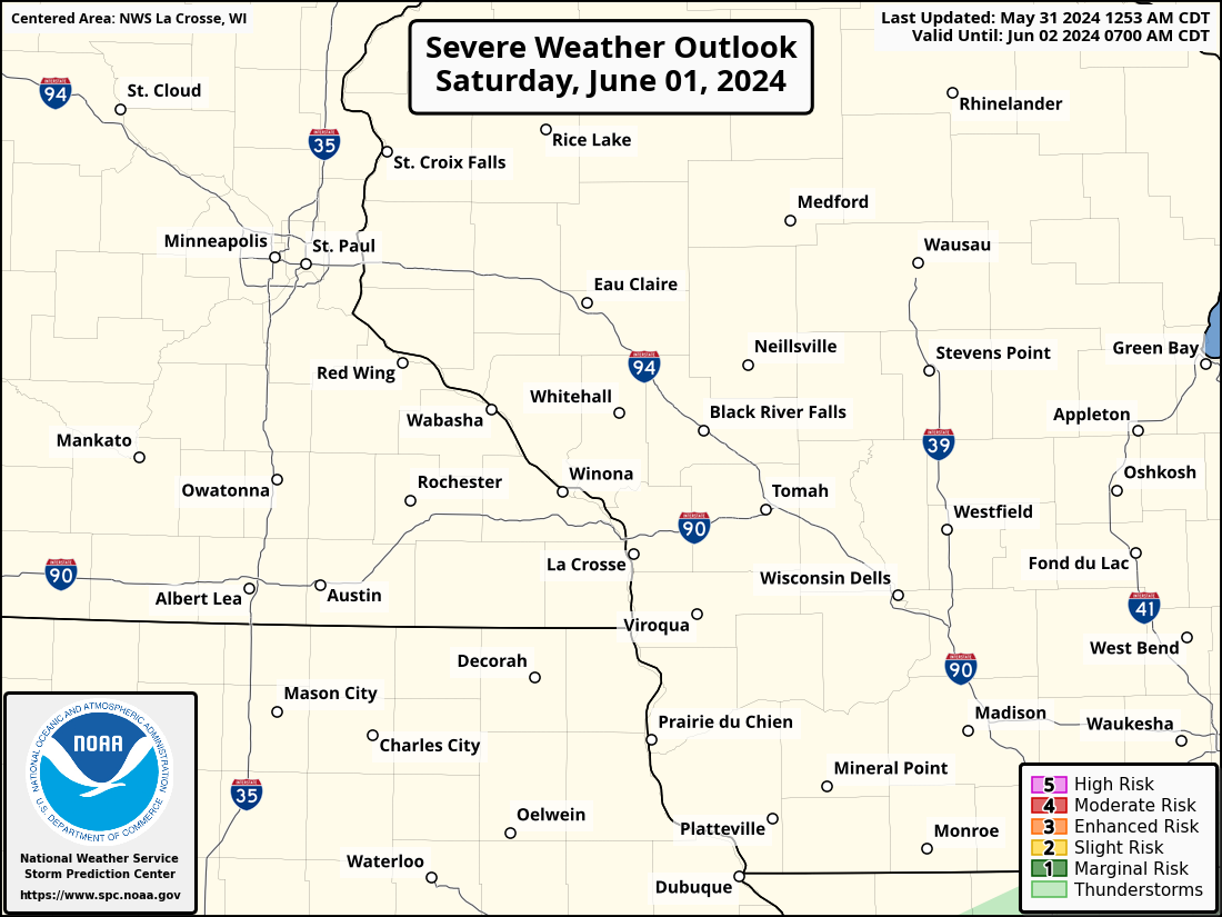
Saturday brings the threat for severe thunderstorms and heavy rain as a cold front tracks into the area. Multiple rounds of thunderstorms are expected to occur over portions of northeast IA and southwestern WI between Saturday morning and Monday morning. If storms repeat over the same locations, localized rainfall totals of 3 to 5 inches or greater may occur. Additional threats from the severe storms will be damaging winds and hail, primarily during the day on Saturday. Keep up on latest forecast for more details as we move into the weekend. Have a plan for shelter, especially if you have outdoor activities. Remember to never cross flooded roadways! Be especially cautious for flooding at night.


Saturday: Threat For Severe Storms

  • What: severe storms possible. Damaging winds and hail the main threats. 
  • Where: entire area
  • Timing: Sat morning-evening
  • Impacts: hail damage to property and crops possible. Winds could damage trees and down power lines
  • ACTION: stay weather aware! Take shelter when storms approach

Saturday-Monday: Threat For Heavy Rain

  • What: Multiple rounds of storms producing heavy rainfall expected across portions of northeast IA and southwest WI this weekend
  • Where: Portions of northeast IA and southwest WI
  • Timing: Sat evening-Mon morning
  • Impacts: localized flash flooding, urban street flooding, potential rises on rivers, mudslides
  • ACTION: stay weather aware! Never cross flooded roadways! Be especially cautious for flooding at night.
Additional Information:
Saturday-Sunday Excessive Rain Outlook

Sat-Sun Excessive Rain Outlook

Day 2 Outlook

Saturday Severe Outlook - TEXT

  • Submit Report •
Severe Monitor
Hazardous Weather Outlook
Storm Reports
Latest Reports
Current Conditions


Composite Reflectivity

Radar