
Dangerous heat will build across the Southwest U.S. through the end of the week with daytime highs of 110-115°F. Isolated to widely scattered severe storms are expected across parts of the central and southern High Plains, Great Lakes into the Ohio Valley, and parts of the Ozarks to Lower Mississippi Valley today. Read More >
Last Map Update: Wed, Aug 26, 2026 at 10:28:13 am MDT





 Social Media
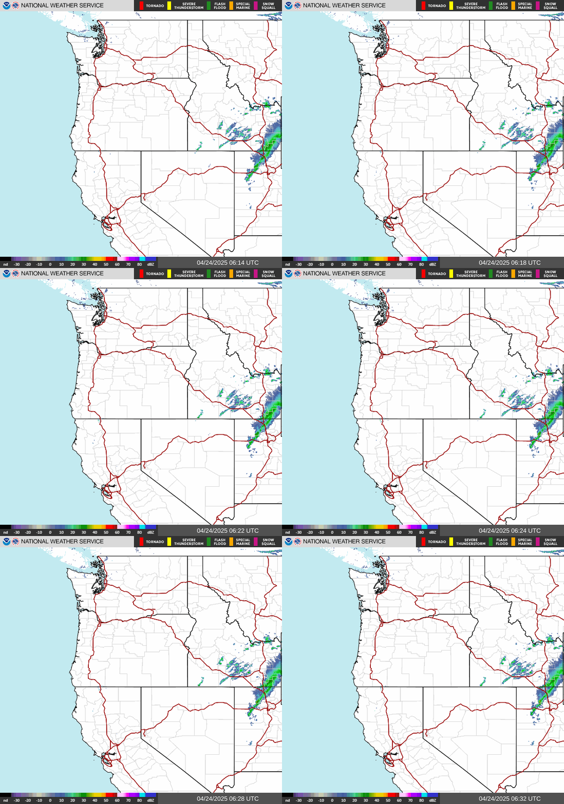 Radar
Radar Satellite
 Surface Weather Maps
 Tabular Forecasts
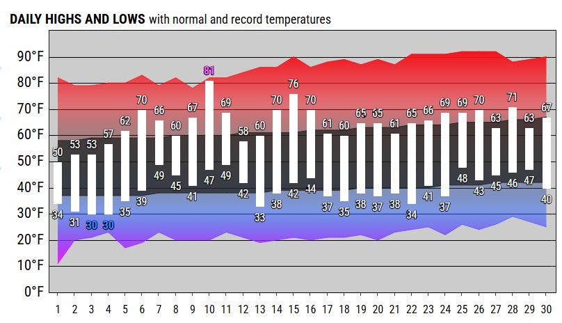 Month Charts
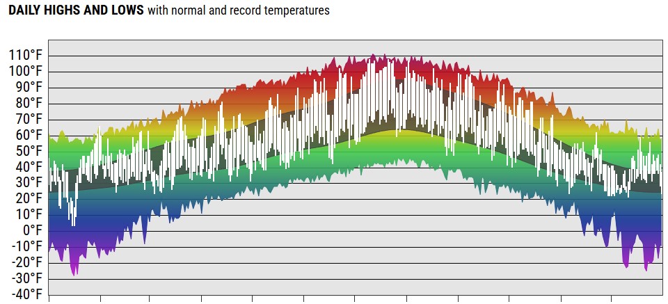 Year Charts
 Web Cameras
 Area Forecast Discussion
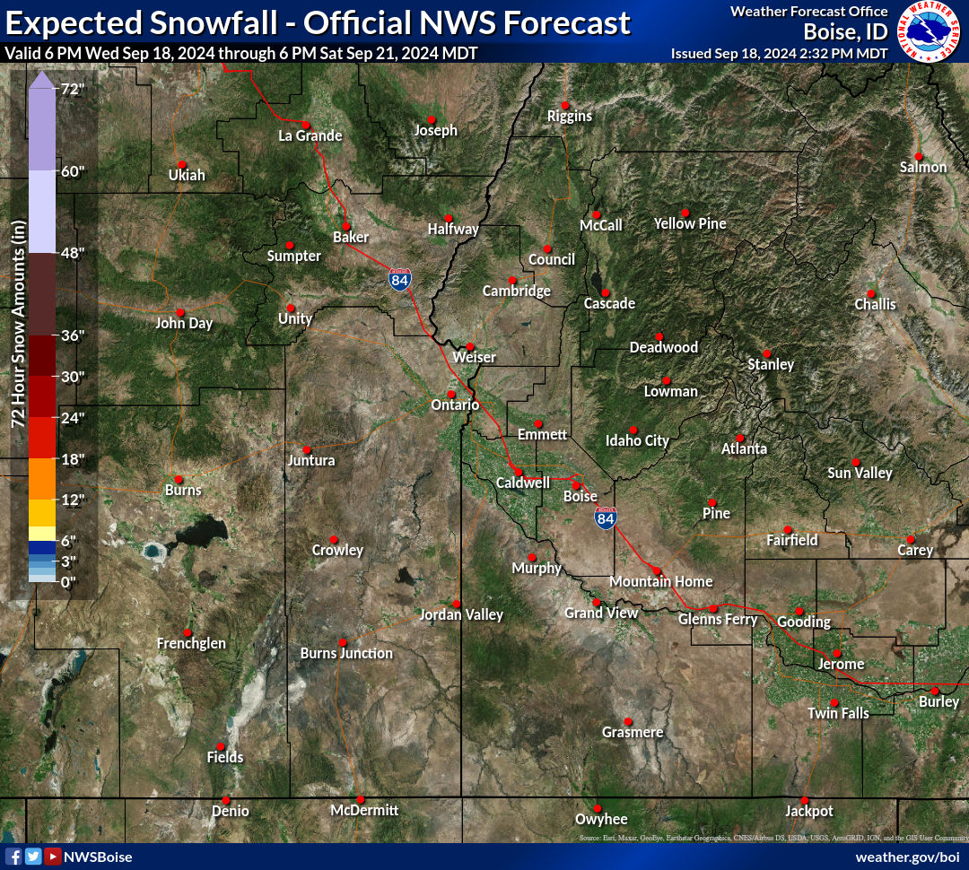 Probabilistic Snow Information
 Avalanche Weather
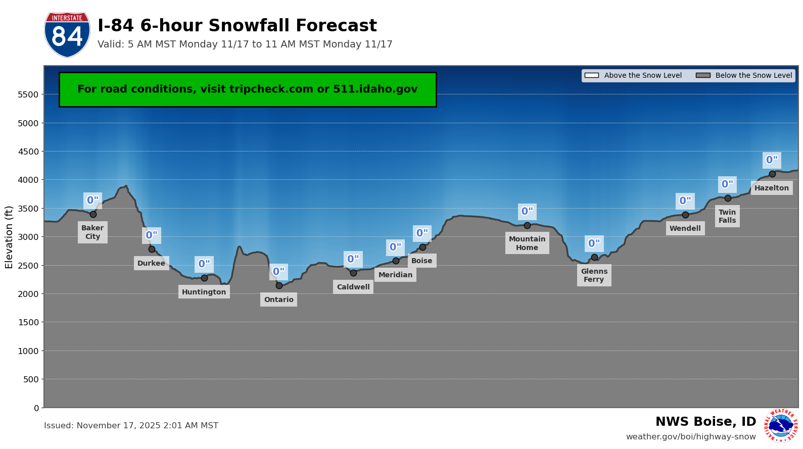 Highway Snow Profiles
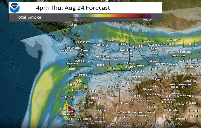 Experimental Smoke Forecast
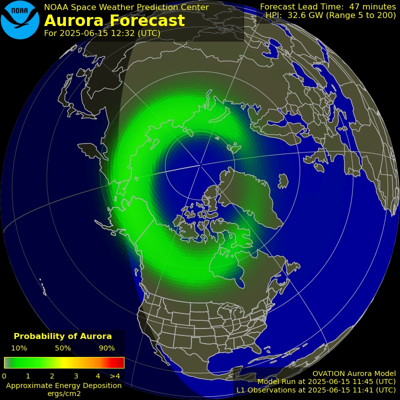 Aurora 30min Forecast
 Submit Reports
 Follow us on X
 Follow us on Facebook
 Follow us on YouTube
 BOI RSS Feed