Today will be mostly sunny and warm with a light southerly breeze. We will have near midsummer normal highs in the upper 70s to around 80 inland.
A moonlit evening will give way to increasing clouds followed by some showers late tonight into Friday. Lows tonight in the low to mid 50s and highs Friday into the low 70s. A cold front will approach and stall Friday night.
A corridor of moisture running up along the stalled frontal boundary has the potential bring significant rain on Saturday, mainly central and northeast. Some thunderstorms are possible over southern areas.
This general weather briefing slide is updated daily in the early AM hours before 7am (slide update time at bottom right of slide). It may not be updated as conditions change.For high-impact events, more detailed information will be provided via traditional decision support services.
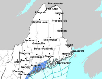
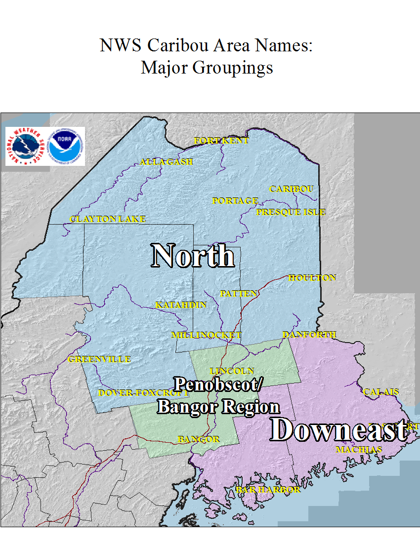
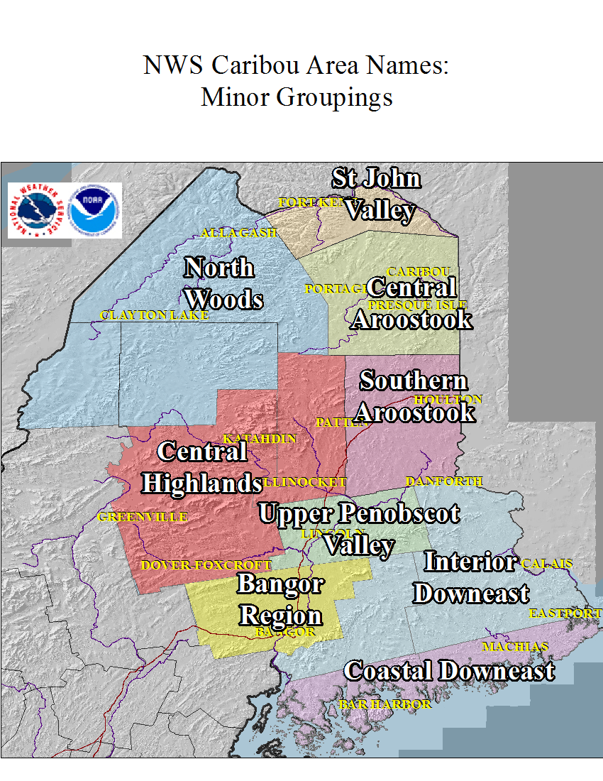
This is the home page for emergency managers to do a self briefing. For information on a particular hazard, just click on the appropriate orange link above.


 Coastal Flood