Aug 12, 2019 EF-1 Washington County Tornado
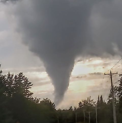
Photo courtesy David Coffin. He has given permission for media to use with attribution. This was taken on Route 6 between Topsfield and Springfield, looking west at the tornado.
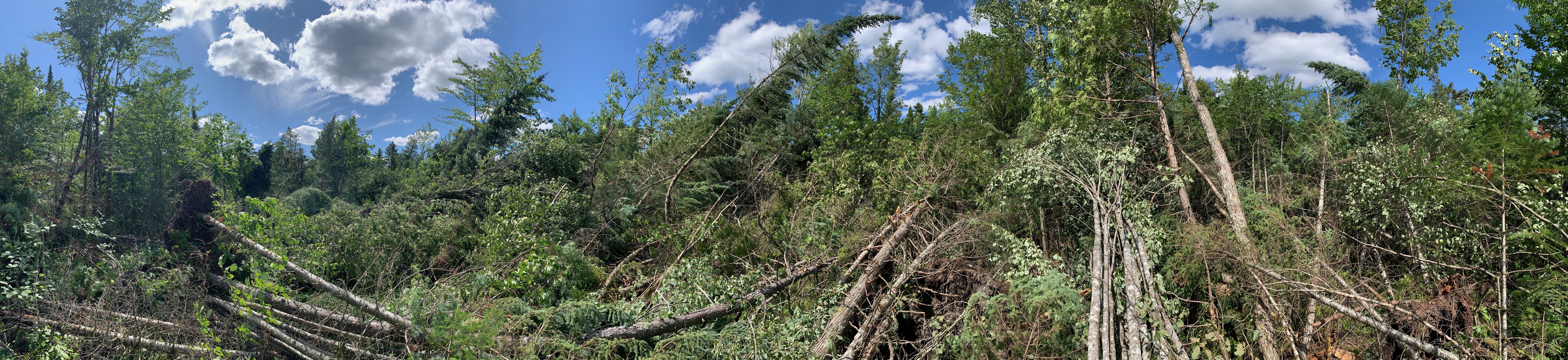
NWS Caribou photo typical of the damage. It was all tree damage, with no structures impacted. Permission is granted for anyone to use this photo. More photos in Google Earth storm survey.
SUMMARY

--------------------------------------------------------------------------------------------------------
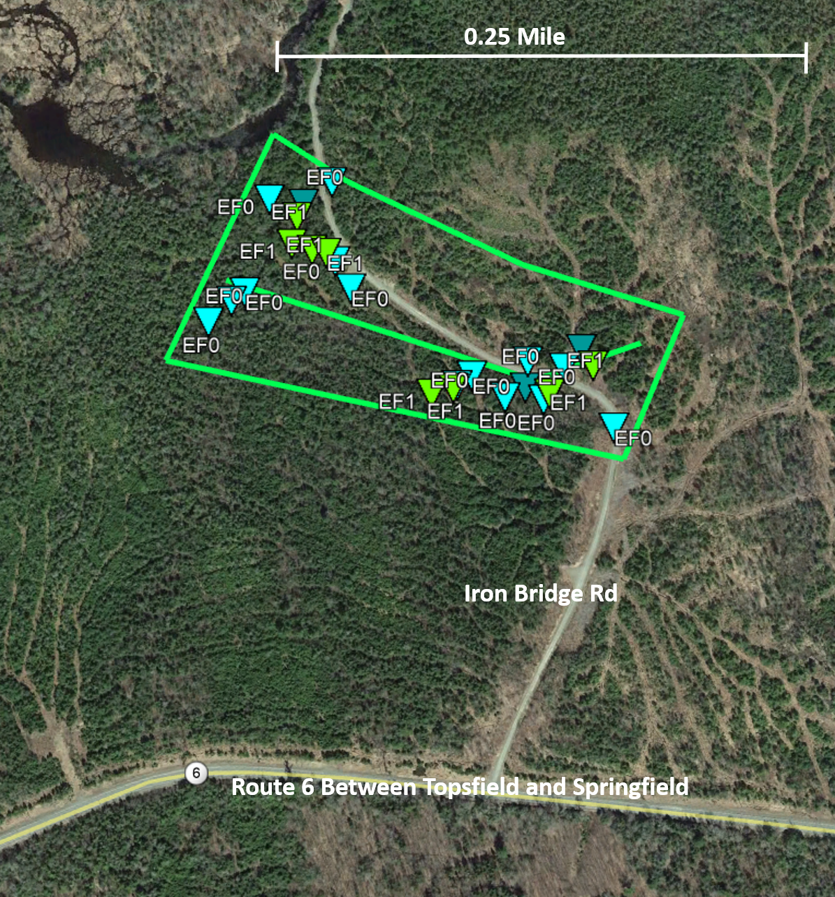
--------------------------------------------------------------------------------------------------------
Radar Storm Relative Motion Loop, with Tornado Location Annotated. We had a Severe Thunderstorm Warning in effect with "Tornado...Possible" mentioned. There was 35 minutes of lead time between when we issued the warning and the tornado occurred.
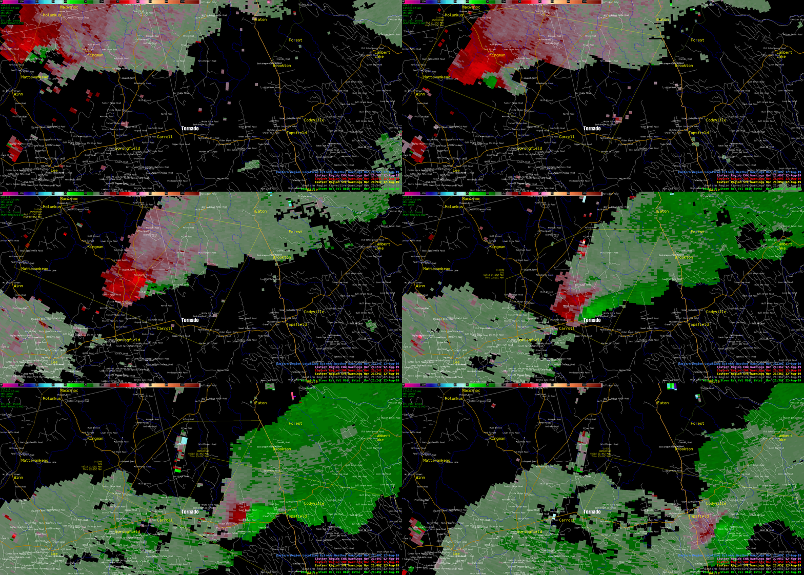
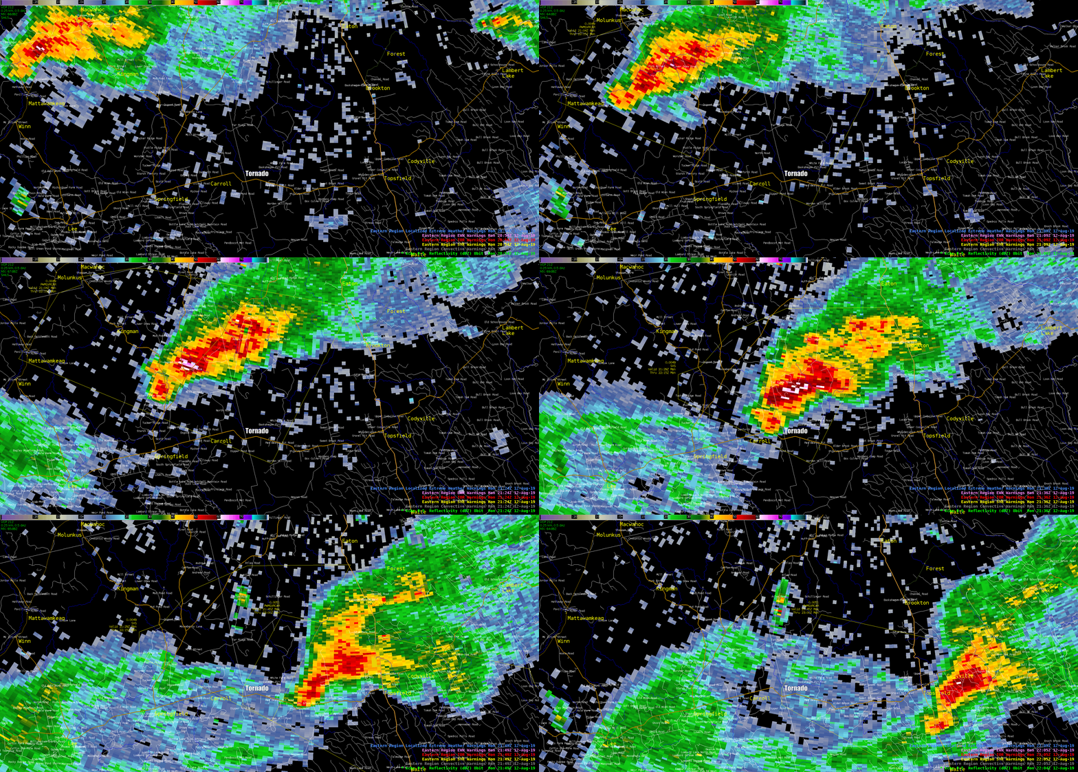
Radar Reflectivity Loop, with Tornado Location Annotated. We had a Severe Thunderstorm Warning in effect with "Tornado...Possible" mentioned. There was 35 minutes of lead time between when we issued the warning and the tornado occurred.



 Radar
Radar Current Weather
 Rivers & Lakes
 Satellite
 Forecast Maps
 Hour by Hour Forecast
 Tropical Weather
 Graphical Hazards
 Marine Forecasts
 Coastal Flood
 Submit a Spot Request
 Weather Hazard Briefing
 Recreational Forecast
 Climate Plots
 NOAA Weather Radio
 Skywarn
 Submit Storm Report
 Text Products
 Follow us on X
 Follow us on Facebook
 Follow us on YouTube
 CAR RSS Feed