2026 Spring Flood and Water Resources Outlooks
Latest Outlook Click here for the latest outlook.
What is the Spring Flood and Water Resource Outlook? Spring into early summer season is typically the season with the highest risk for river flooding in central Iowa. Thus, the National Weather Service in Des Moines determines the flood risk and provides the Spring Flood and Water Resources Outlook every year. This outlook includes information about the potential for flooding from spring into early summer. This information helps decision makers and people with river interests prepare to protect life and property.
Release Schedule:
We will also provide a briefing packet for the entire state of Iowa on March 12th only. We normally release the outlook information by 5 pm CST. We will link the information above when it is available.
Flood Impact Information–Please Help Us! We always wish to provide the latest flood impact information for our forecast points along area waterways. By 'impacts' we mean water affecting infrastructure during flooding. Some examples include water over roads or bridges, water into buildings, significant agricultural flooding, levees breached, etc. Sometimes flood impacts can change due to development, flood mitigation, etc. You can find existing and known impacts on our National Water Prediction Service (NWPS) website. Click on a point of interest for additional information, and then select the 'Full Information >' link to access known impacts. You can find the impacts along the left-hand side of the page below the graph. If you notice issues regarding our flood impact information–such as impact information that could be new, updated, corrected or removed–then please use this feedback form. You may also contact us via email or phone using the contact information at the bottom of this page. Thank you for your help!
Additional Information
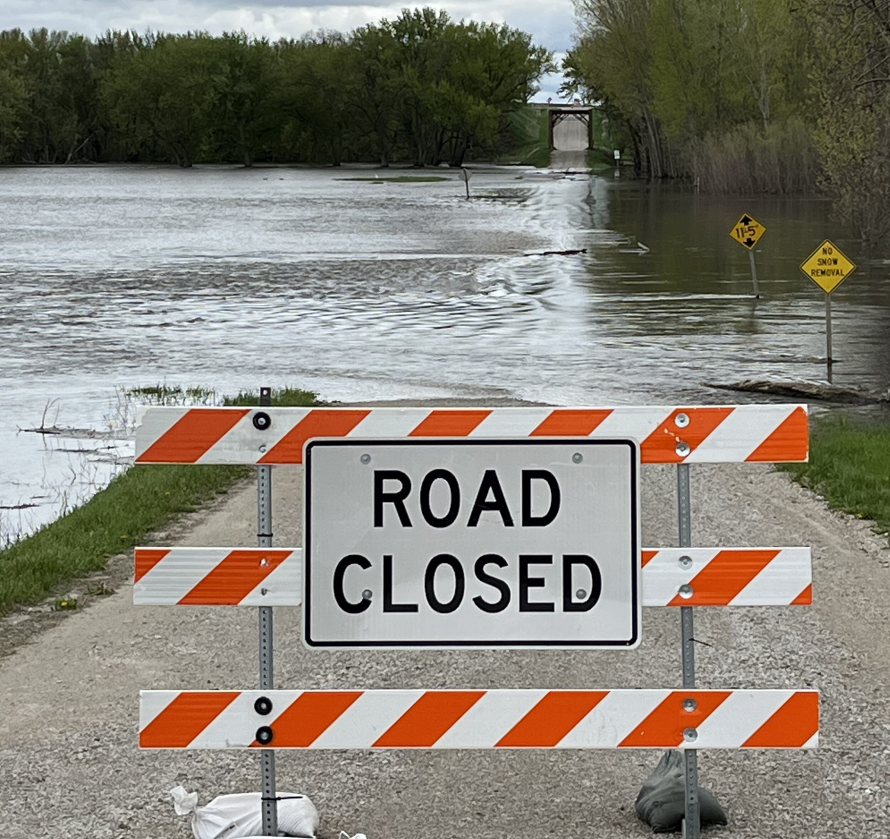
Floodwaters from the East Fork Des Moines River cover a road near Livermore, Iowa, in May 2024. Photo courtesy of Kyle Bissell. |

