
A couple of frontal boundaries will move east and south from the Plains to the Gulf and Atlantic coastlines. These boundaries will focus showers and thunderstorms through the weekend, with scattered severe thunderstorms from the Southern Plains and across the Gulf Coast states. Locally heavy rainfall may also occur, which may be welcome news across drought areas. Meanwhile, heat spreads westward. Read More >
|
Current Conditions and Seven Day Forecast |
||
| Current Conditions | Forecast | Severe Weather | Hydrology/Rivers | Winter Weather | Fire Weather | Safety |
| Current Winter and Cold Weather Alerts | Latest DSS Packet - Click here |
|
Forecast Snowfall Amounts for Iowa for the Next 3 Days 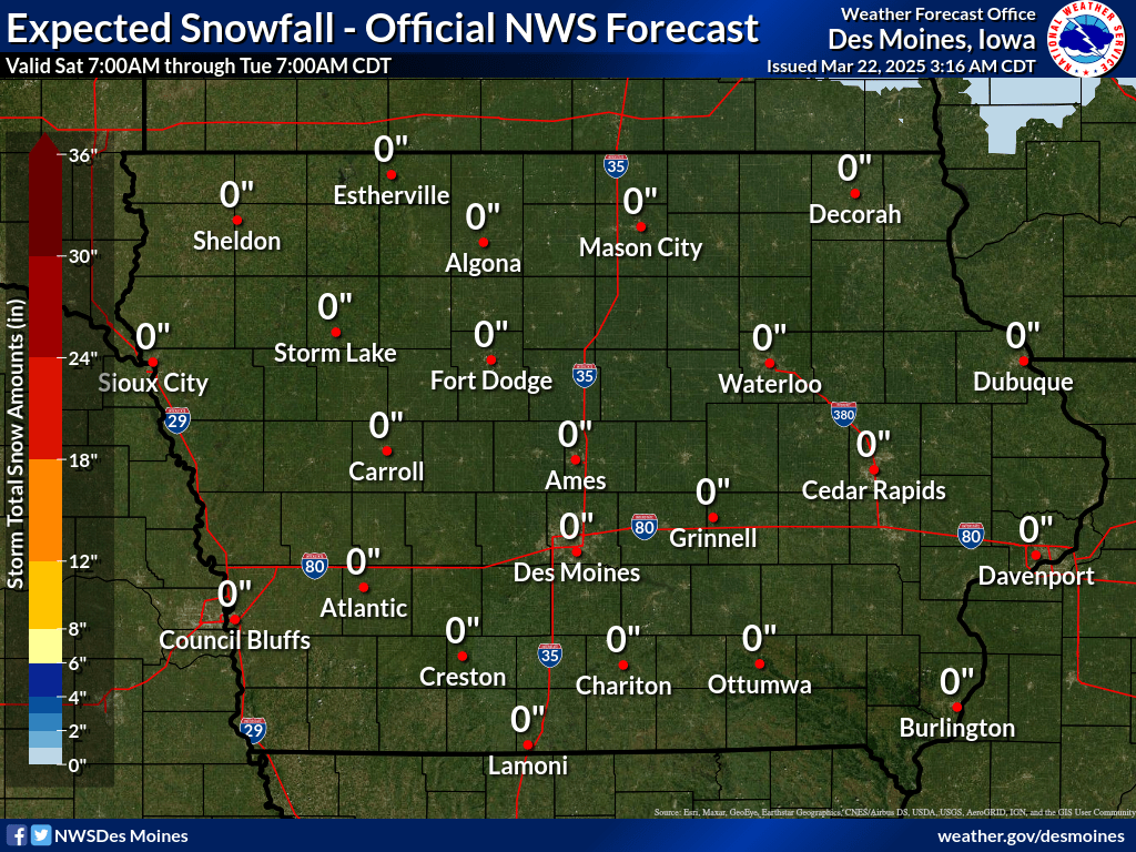 |
Forecast Ice Amounts for Iowa for the Next 3 Days 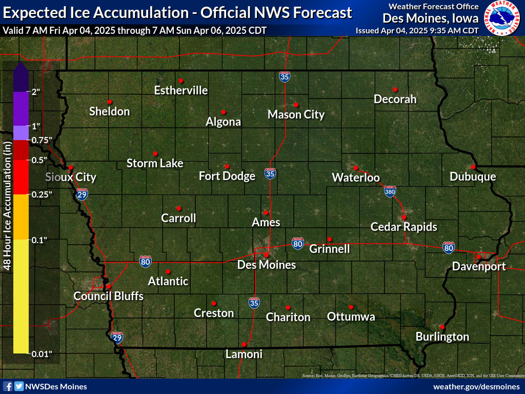 |
Additional Probabilistic Snowfall Graphics can be found here.
Use the slider bar below to view forecast snowfall in 6 hour increments. The map will update automatically. Use your mouse to zoom into/pan around on the map.
Click each image composite for more information.
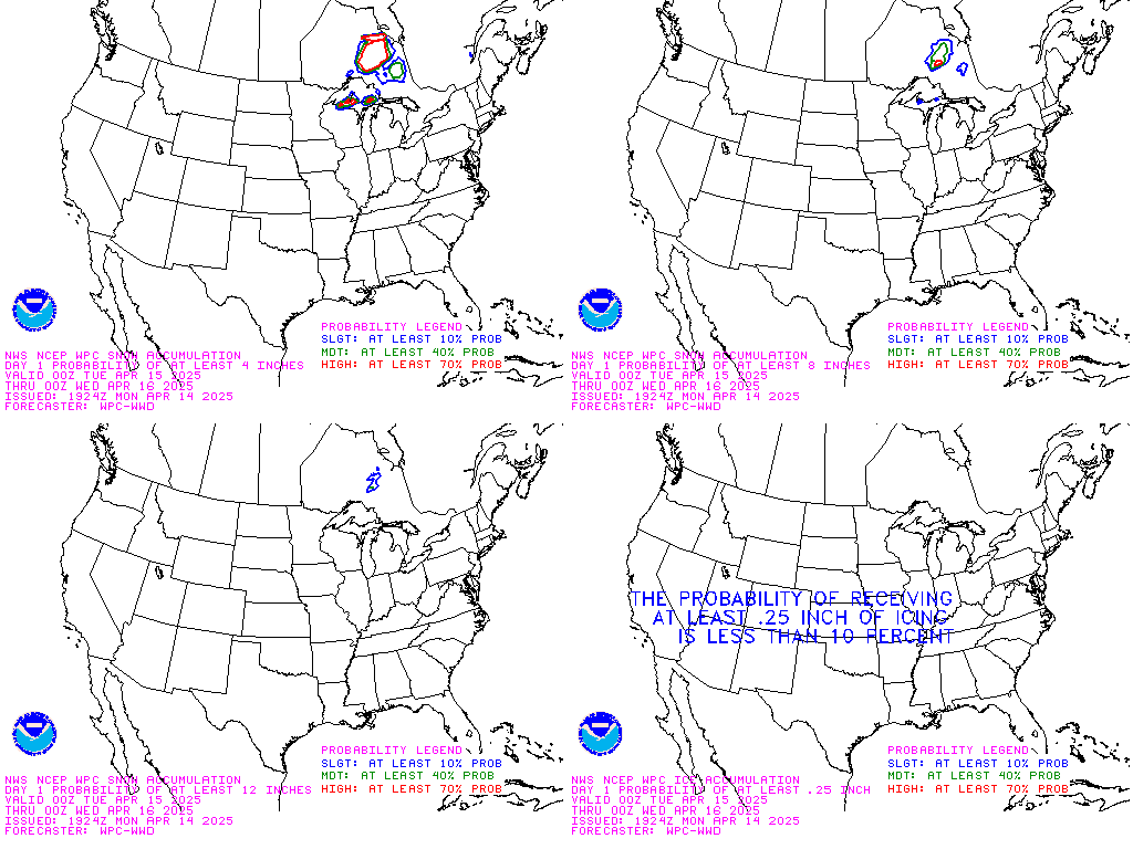 Day 1 |
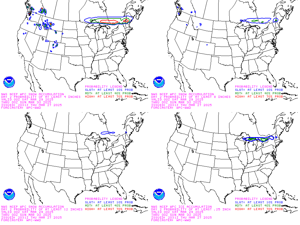 Day 2 |
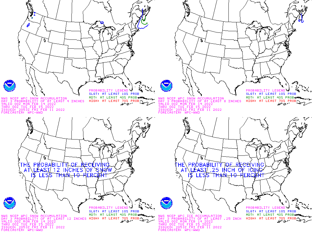 Day 3 |
View an Interactive Snow and Ice Probabilistic Forecast Map
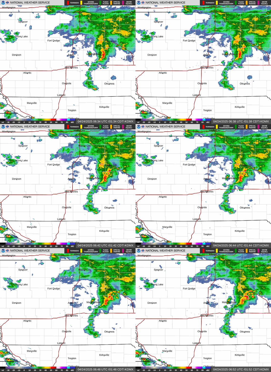 Upper Midwest Radar Loop |
 Upper Midwest Visible Satellite Image (Loop) |
 Upper Midwest Infrared Satellite Image (Loop) |
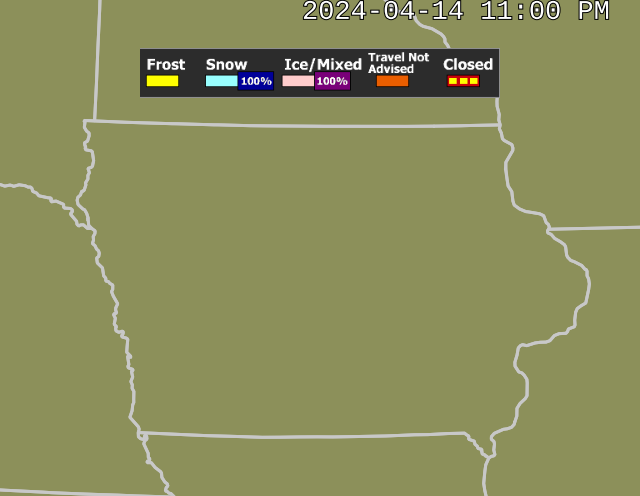 |
|
||||||