
A Pacific storm will bring rain and high elevation snow from the Pacific Northwest into the Northern Rockies. A series of storms are expected to move through the Bering Sea bringing strong winds, heavy precipitation, and elevated water levels from the West Coast to northern Alaska. Read More >
Des Moines, IA
Weather Forecast Office
|
Current Conditions and Seven Day Forecast |
||
 |
| Current Conditions | Forecast | Severe Weather | Hydrology/Rivers | Winter Weather | Fire Weather | Safety |
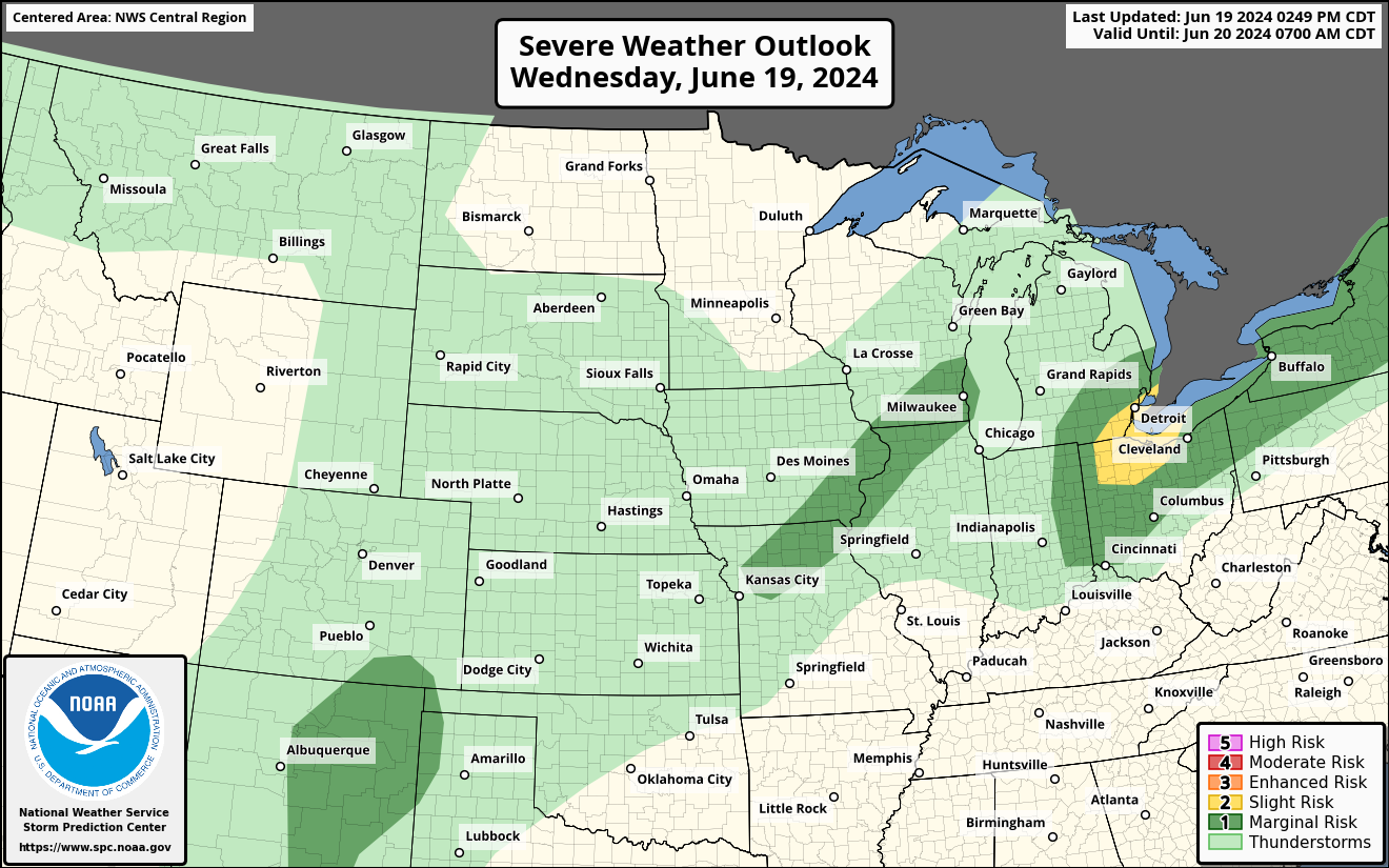

Day 1
Text |
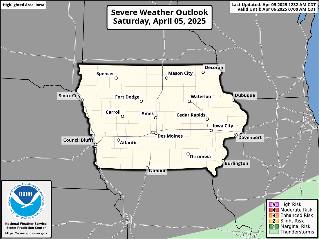 Categorical Outlook |
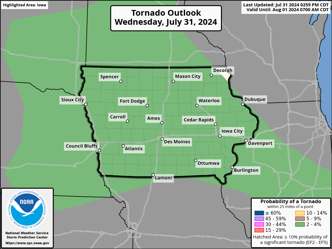 Tornado Probabilistic Outlook |
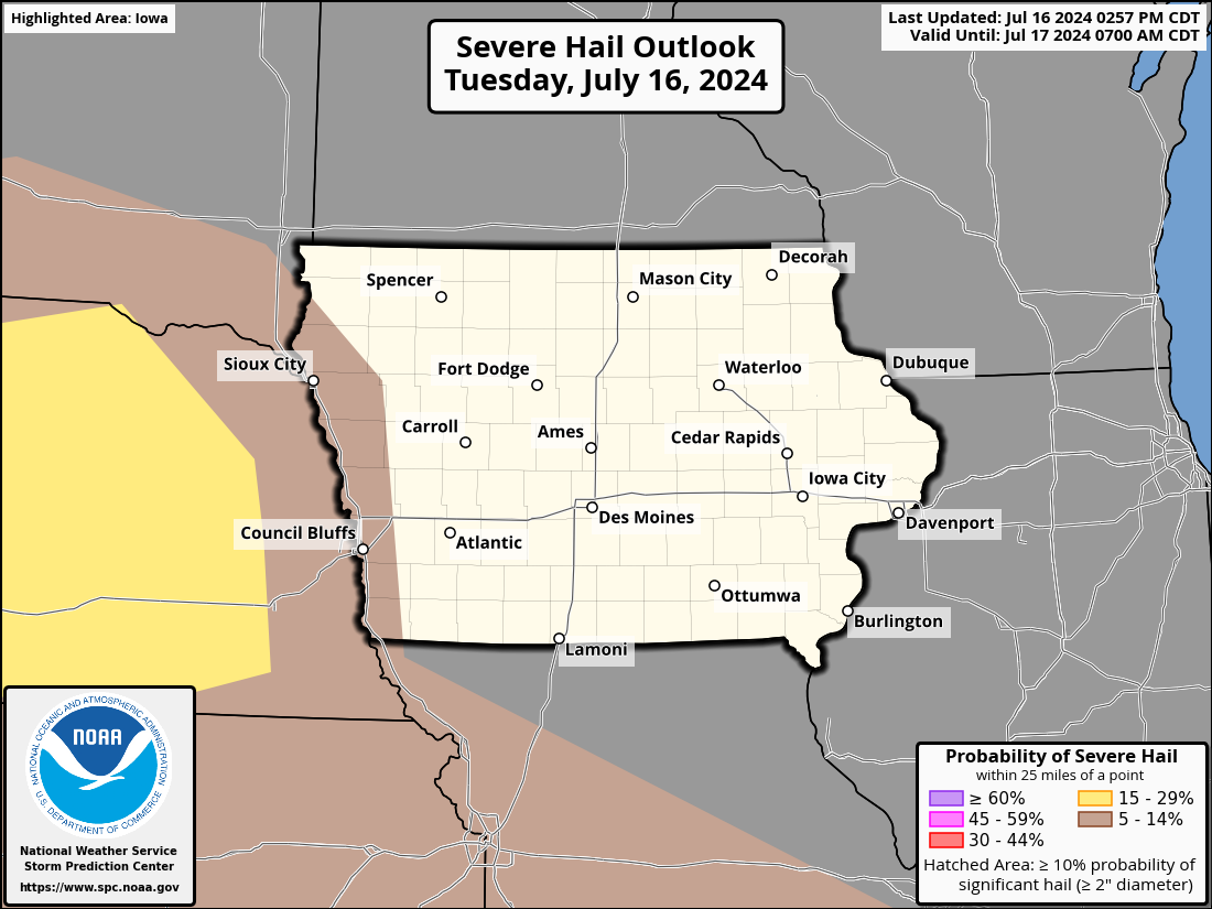 Hail Probabilistic Outlook |
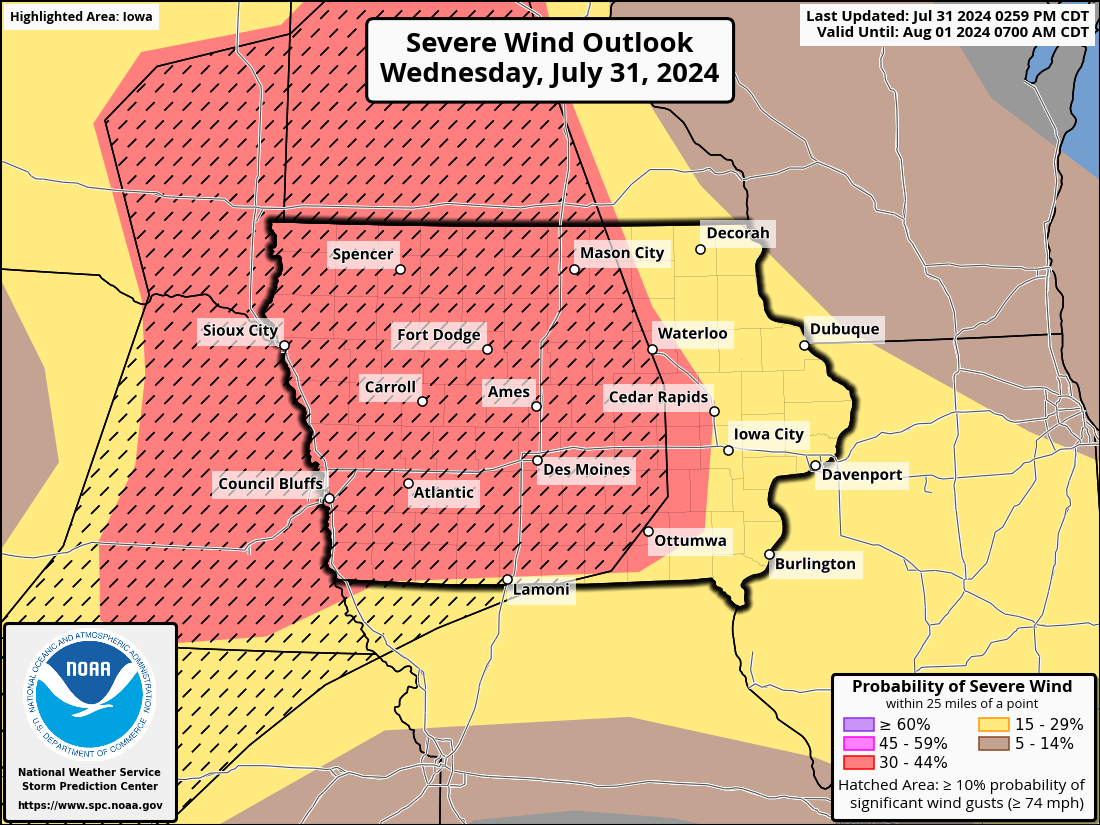 Wind Probabilistic Outlook |
Day 2
Text |
 Categorical Outlook |
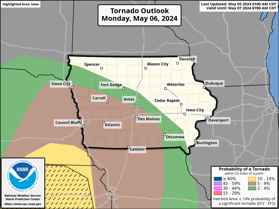 Tornado Probabilistic Outlook |
 Hail Probabilistic Outlook |
 Wind Probabilistic Outlook |
Day 3
Text |
 Categorical Outlook |
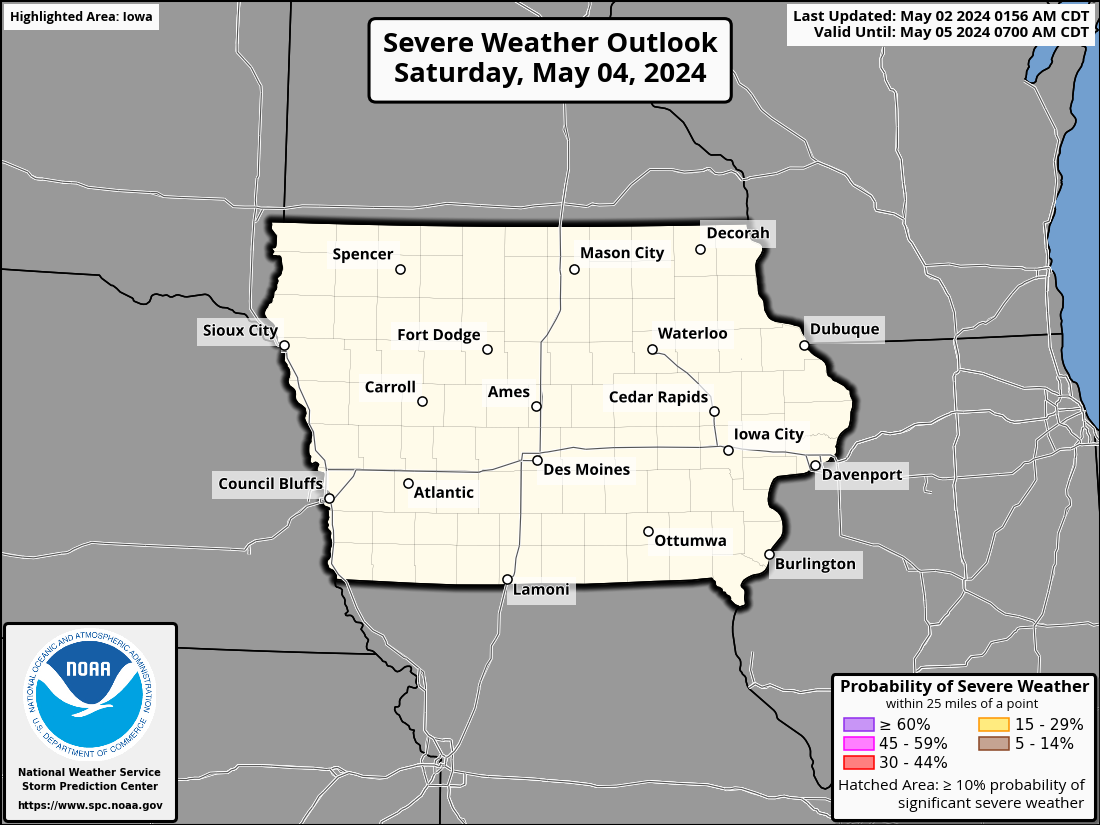 Probabilistic Outlook |
|||
| Day 4-8 Outlooks Text |
Day 4 |
Day 5 |
Day 6 |
Day 7 |
Day 8 |
  Current Mesoscale Discussions |
  Current Severe Weather Watches |
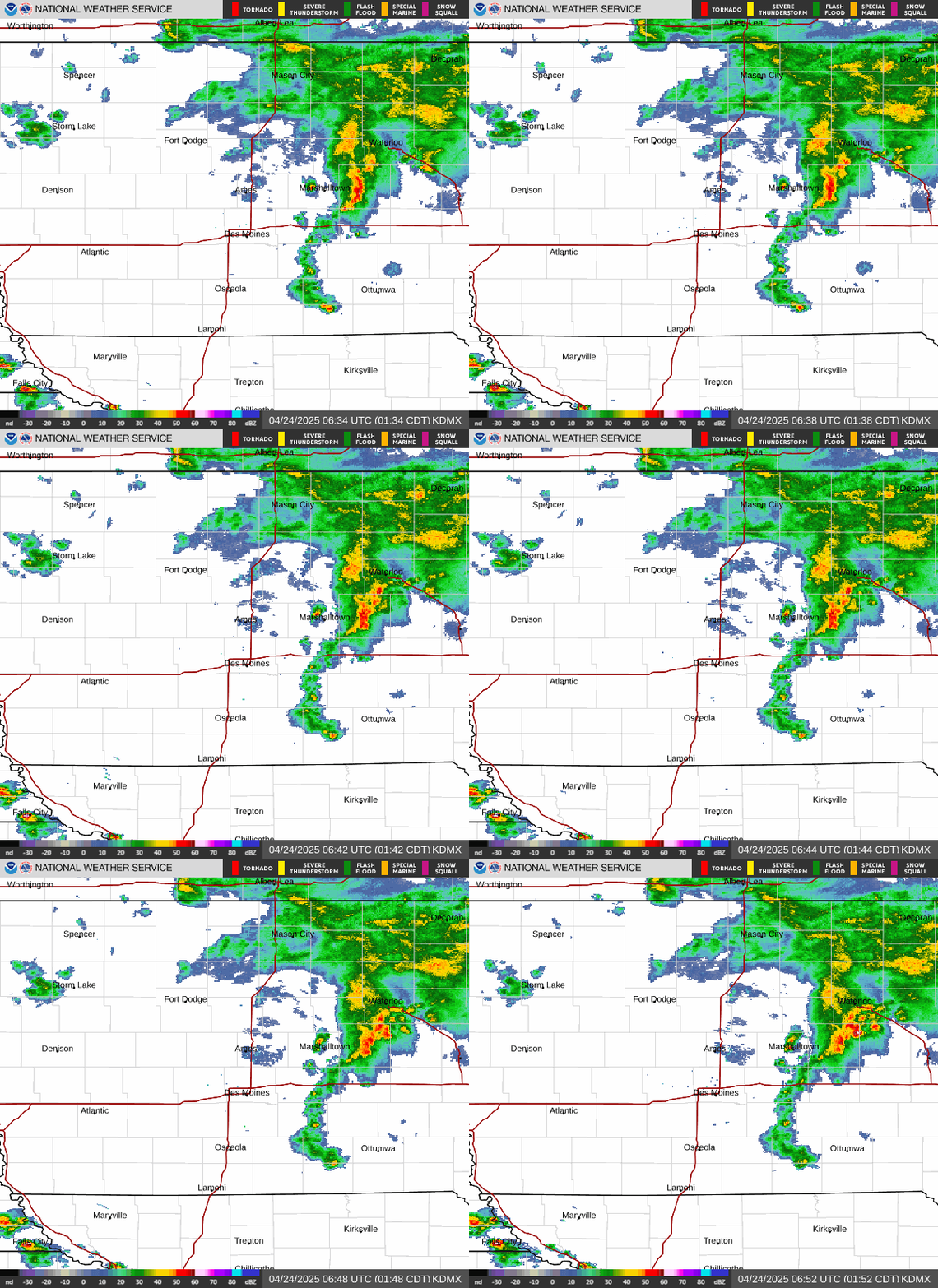 Central Iowa Radar Loop |
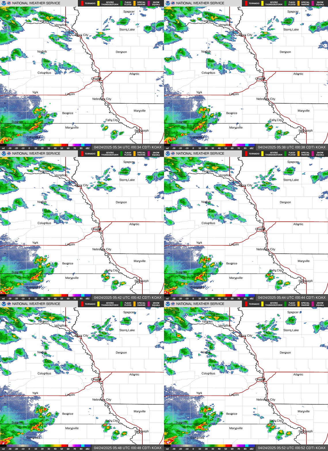 Omaha |
 Sioux Falls |
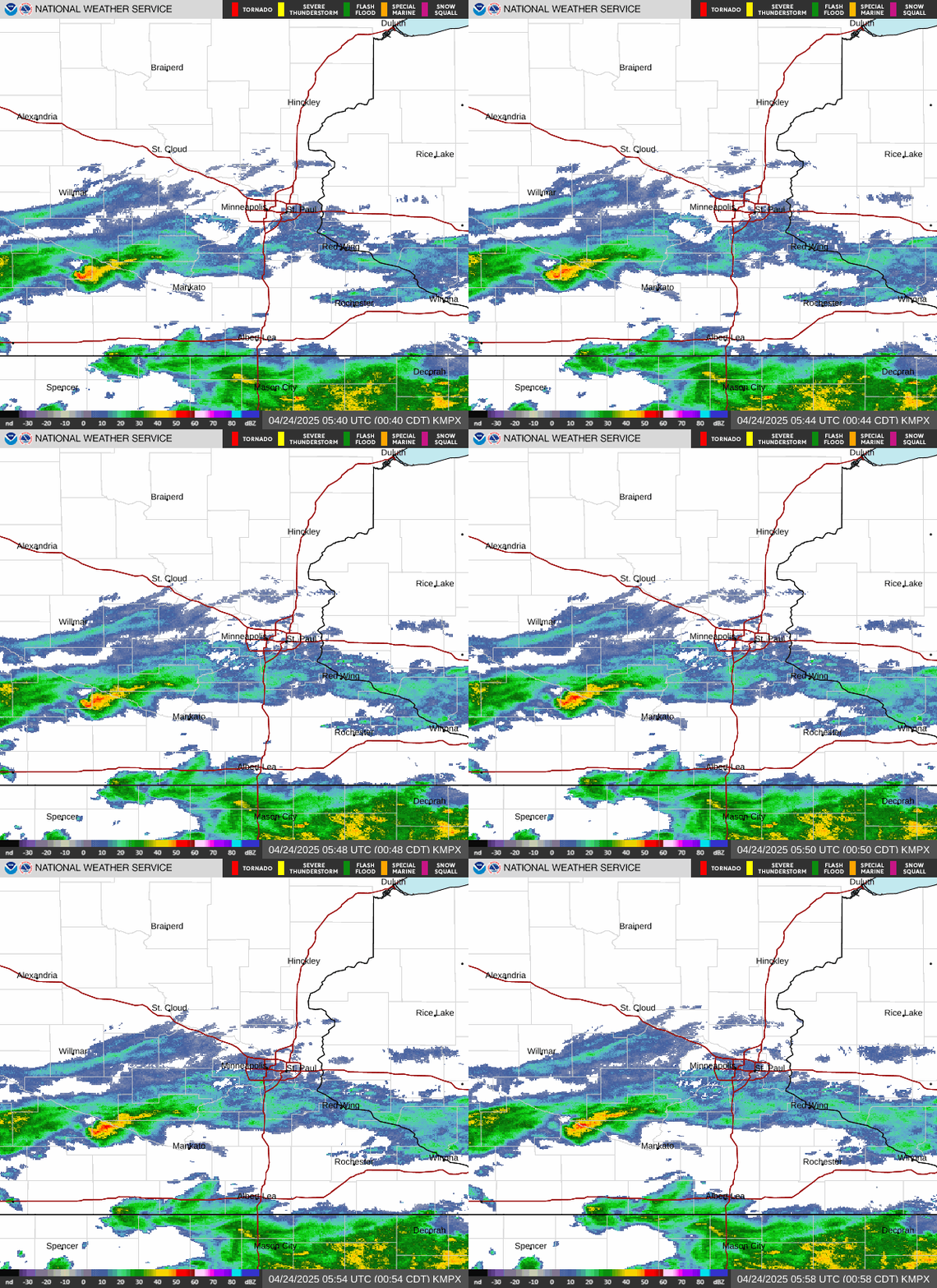 Minneapolis |
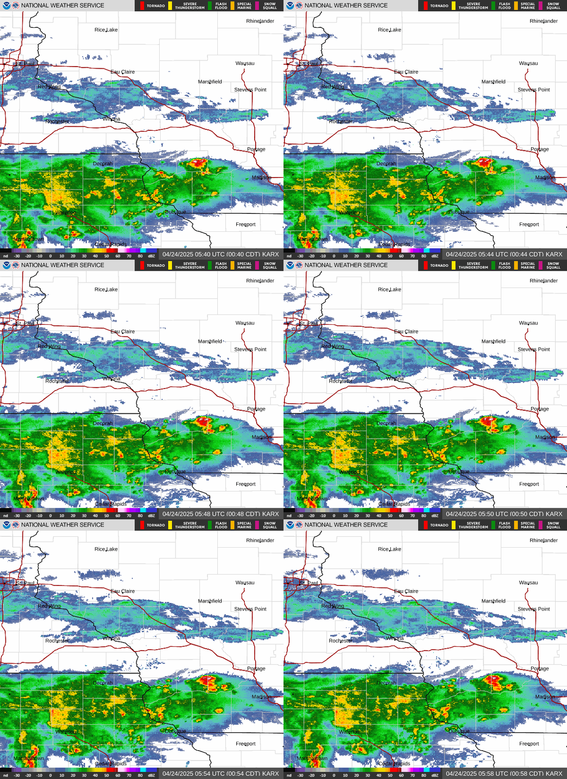 La Crosse |
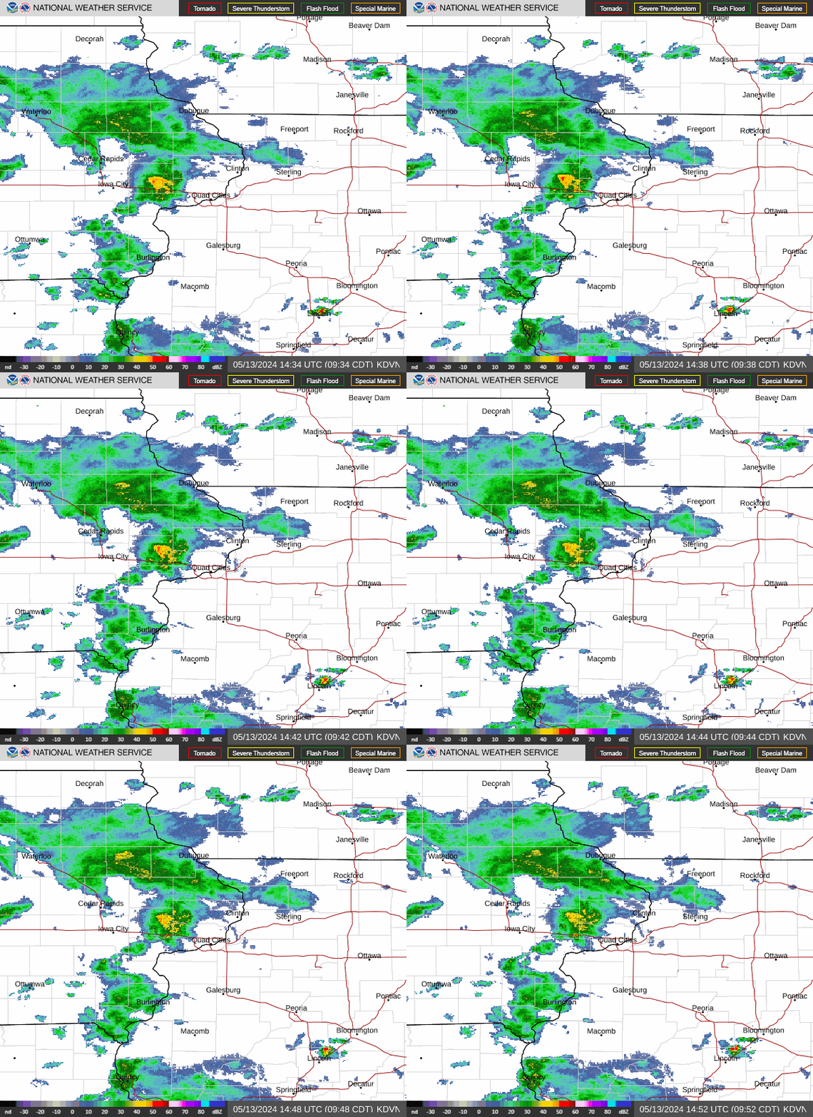 Davenport |
 Kansas City |
 Upper Midwest Visible Satellite Image (Loop) |
 Upper Midwest Infrared Satellite Image (Loop) |
 Upper Midwest Water Vapor Satellite Image (Loop) |
US Visible (Loop) |  |
| US Infrared (Loop) |  |
|||
| US Water Vapor (Loop) |  |
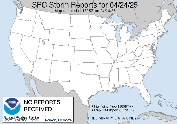 Today's Local Storm Reports |
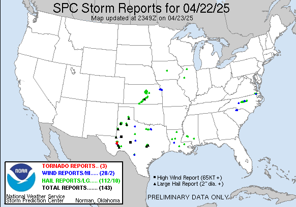 Yesterday's Local Storm Reports |

US Dept of Commerce
National Oceanic and Atmospheric Administration
National Weather Service
Des Moines, IA
9607 NW Beaver Drive
Johnston, IA 50131-1908
515-270-2614
Comments? Questions? Please Contact Us.



 Follow us on X
 Follow us on Facebook
 Follow us on YouTube
 DMX RSS Feed