Northern Indiana
Weather Forecast Office
|
Real Time Information |
Training/Reference Material
|
|
This page is dedicated to spotter planning, preparedness, and reporting. Click on the above links to access:
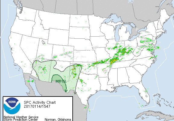
Real Time Information - real time weather information including forecasts, hazardous weather outlook, and Storm Prediction Center outlooks. Links to NWS social media are also provided.
Training/Reference Material - training provided by other sources including MetEd and spotternetwork.org, also includes other handy references for spotters regarding hail size chart, Beaufort wind chart, local area severe weather climatology, and more.
Reporting Procedures - how to make a spotter report and sources that can be used to make a spotter report.
Certificates for Spotter Training - If you are interested in a training certificate for the a presentation in the CURRENT training season, please email nws.northernindiana@noaa.gov. Our office does not provide Spotter IDs.
Hazards
Heat Related
Winter Related
Watch/Warning
Outlook
Storm Reports
Storm Prediction Center
Submit a Report
Event Ready
Climate
CoCoRaHS
FWA Daily
SBN Daily
FWA Monthly
SBN Monthly
Cliplot
Spring Frost Climatology
Fall Frost Climatology
Severe Climatology
Tornado Climatology
Local Information
Public Information Statement
Probabilistic Snowfall
Storm Data
Skywarn
COOP
Our Office
WSR-88D
Headline Criteria
NOAA Weather Radio
Weather History
Social Media Feeds
Weather Events Page
US Dept of Commerce
National Oceanic and Atmospheric Administration
National Weather Service
Northern Indiana
7506 E 850 N
Syracuse, IN 46567
574-834-1104
Comments? Questions? Please Contact Us.


