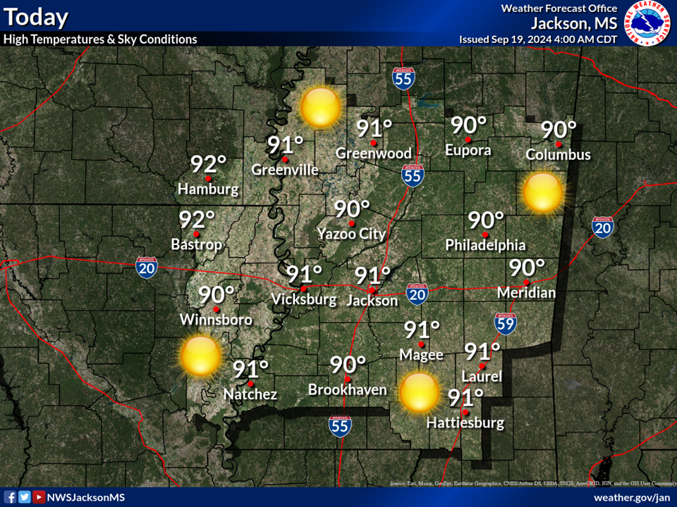
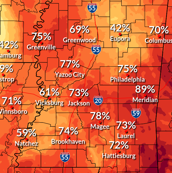
A limited to elevated threat for dangerous heat can be expected today, with the most dangerous heat stress levels over the western portions of the outlook area, where heat index values will approach 110.
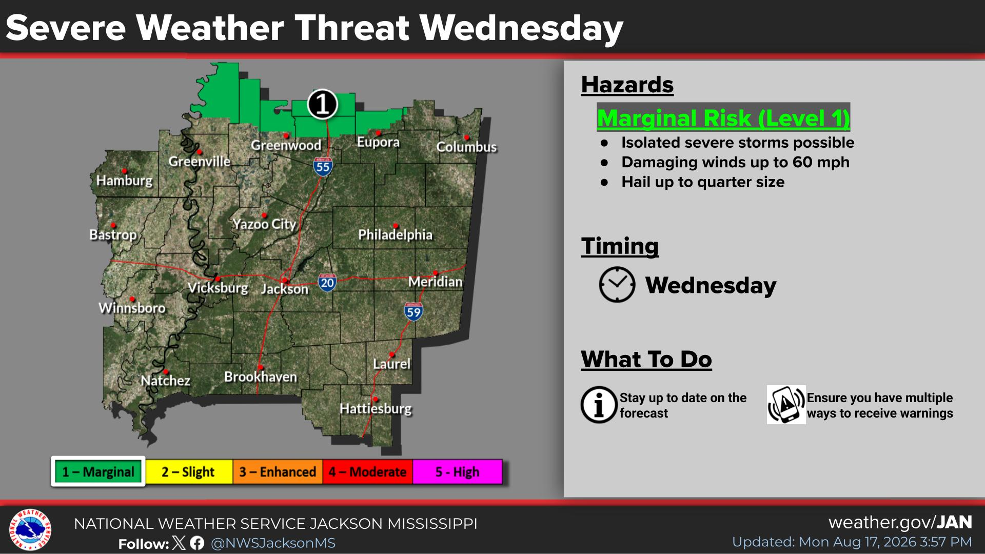
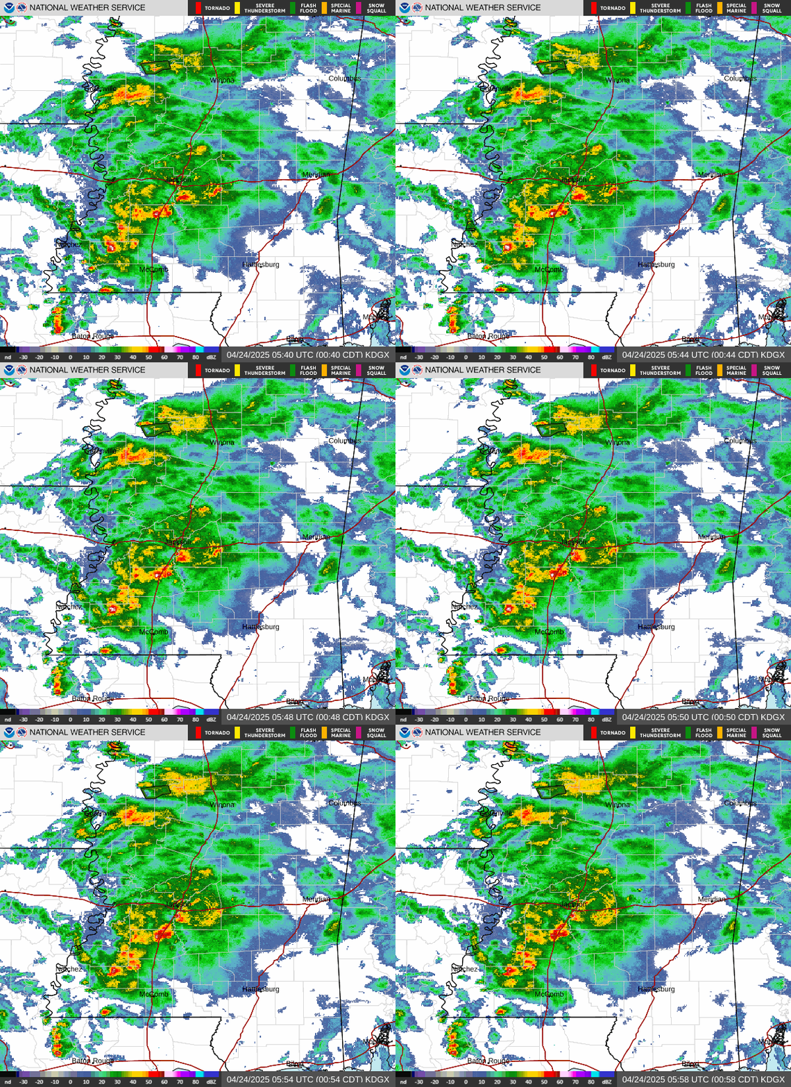
A slight risk for severe storms will be possible in extreme northwest/north central MS and isolated severe storms will be possible north of I-20. Storms will be capable of producing damaging wind gusts from 6 pm to midnight.
A limited to elevated threat for dangerous heat can be expected Sunday, with the most dangerous heat stress levels over the southwest/southeast /south central portions of the area, where heat index values will approach 110.













 Local Radar
 Weather Map
 Weather Safety
 Follow us on X
 Follow us on Facebook
 Follow us on YouTube
 JAN RSS Feed