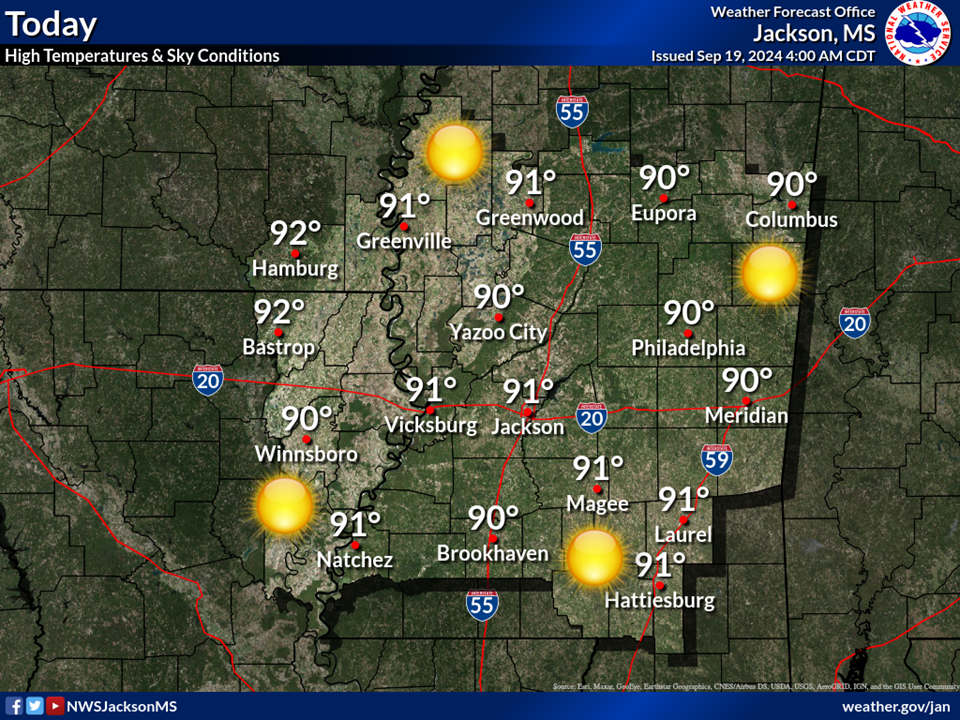
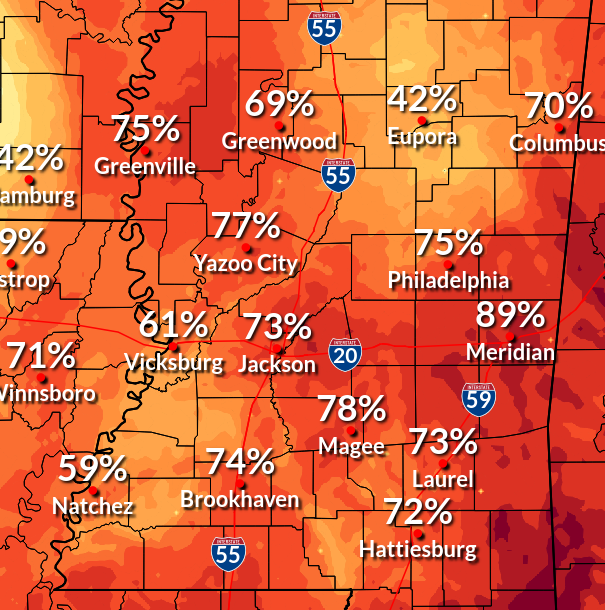
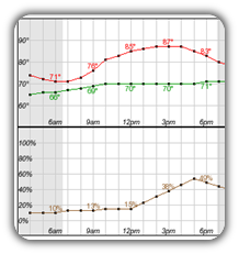
There is an elevated to significant threat for dangerous heat to continue today as heat index values approach 115 and actual air temperatures reach the 100 to 104 degree range. Heat exhaustion will be increasingly likely with prolonged outdoor activity, so continue to exercise caution, take plenty of breaks, and stay hydrated. Make sure relatives and neighbors have a cool place to stay. Do not leave young children and pets in unattended vehicles. Interiors of vehicles will reach lethal temperatures in a matter of minutes.
There is an elevated to significant threat for dangerous heat continuing Tuesday and Wednesday. Heat exhaustion will be likely with prolonged outdoor activity, so continue to exercise caution, take plenty of breaks, and stay hydrated. Make sure relatives and neighbors have a cool place to stay. Do not leave young children and pets in unattended vehicles. Interiors of vehicles will reach lethal temperatures in a matter of minutes.
Outdoors: Stay hydrated, take plenty of breaks in the shade, limit strenuous activity as much as possible.
Indoors: Stay in air conditioning. Check in on neighbors without air conditioning and sensitive populations.
Vehicles: Never leave kids or pets unattended in vehicles. Look before you lock!
Young children and newborns, the elderly, pregnant individuals, and individuals with chronic illness are more vulnerable to dangerous heat than most. Be sure to check on your family and neighbors during this heat wave, especially those who are more vulnerable.
A more focused corridor of storms may develop along a frontal zone
across southern Missouri and northern Arkansas. Moderate to strong
instability is forecast with a 50 to 55 knot mid-level jet streak
across the region. Supercell should be the primary storm mode with
any activity within this zone. In addition, this activity could pose
some tornado threat as hodographs show moderate low-level
directional shear and a warm front in the region.