| Coastal Stations | Time | Wind | Temp |
|---|---|---|---|
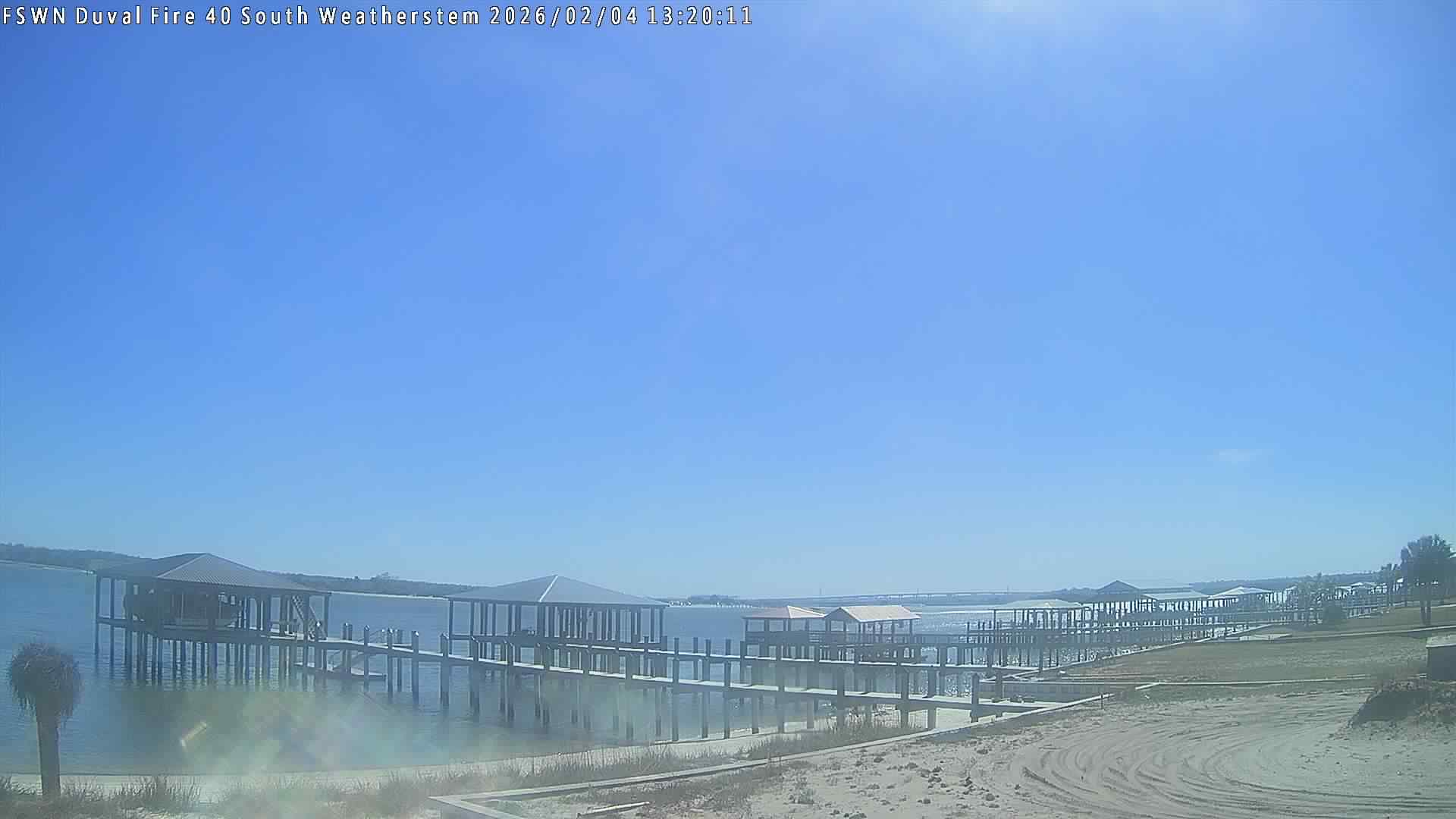
| Fernandina (KFHB) |
|
|
|
| Mayport NS (KNRB) |
|
|
|
| St. Augustine (KSGJ) |
|
|
|
| Coastal Stations | Time | Wind | Temp |
|---|---|---|---|
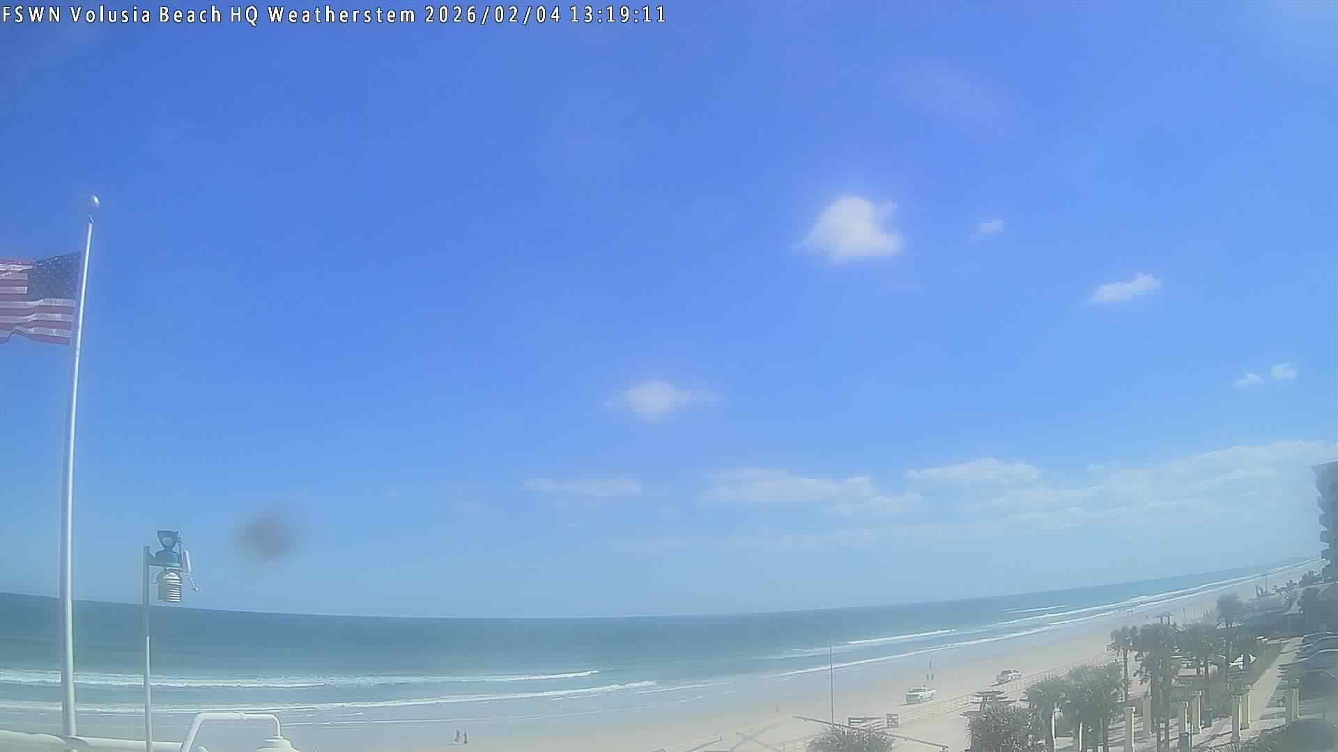
| New Smyrna (KEVB) |
|
|
|
| Ormond Bch (KOMN) |
|
|
|
| Coastal Stations | Time | Wind | Temp |
|---|---|---|---|
| Titusville (KTIX) |
|
|
|
| Melbourne (KMLB) |
|
|
|
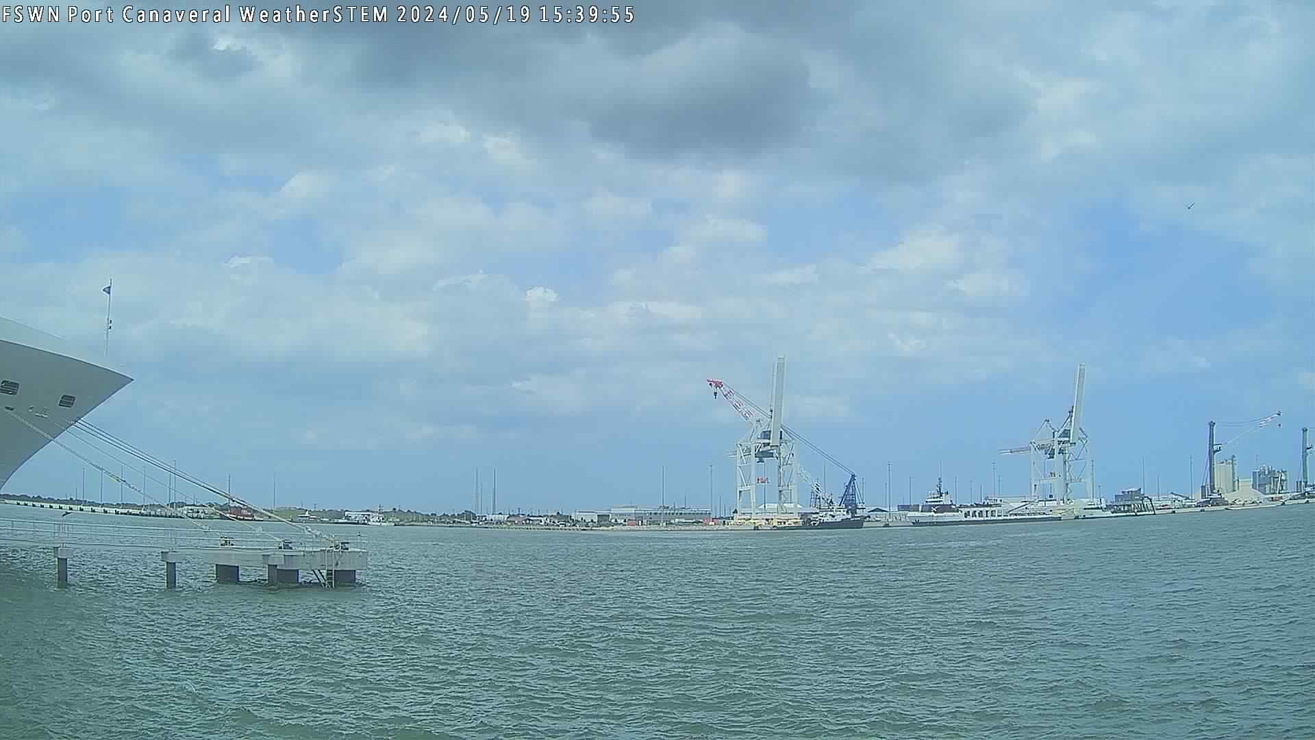
Trident Pier (TRDF1)
Buoy 41009 - Canaveral
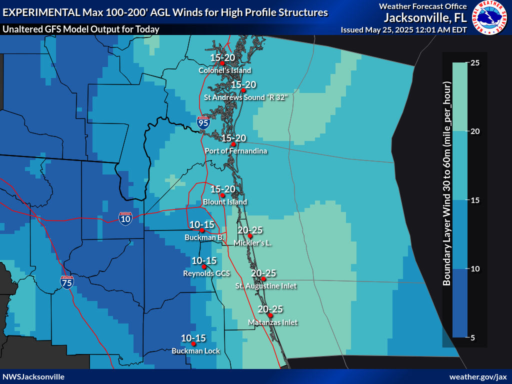

WPC Surface Analysis

Raw METAR Data
Area Forecast Discussion
NOTAMs Flight Path Search


