
Wildfire smoke continues to impact air quality from the Great Lakes region into New England and the Mid-Atlantic today with widespread Air Quality Alerts in effect. Severe thunderstorms are expected across portions of the Ohio Valley and Lower Great Lakes into the Mid-Atlantic and Northeast, this afternoon into the evening. Monsoonal thunderstorms may bring areas of flooding to the Southwest. Read More >
Overview
|
A potent winter storm began to take shape along the Gulf Coast on January 2nd and then lifted into the Carolinas early on the morning of the 3rd. Initially, above freezing temperatures caused the precipitation to begin as mainly rain while it spread across Southern Kentucky early in the evening, reaching the remainder of Eastern Kentucky by mid-to-late evening. Colder air working into the area caused the precipitation to transition over to snow for all but the deepest valleys of far Southeast Kentucky by midnight. The snow quickly tapered off between 1 and 3 AM across most of the eastern Kentucky, but lingered through about sunrise in those counties adjacent to the Virginia/Kentucky border. Very warm ground temperatures, due to anomalous warmth in recent weeks, caused the snow to melt on contact for a while. This melting, combined with a relatively short period of heavier snowfall rates, prevented notable accumulations for most locations north of the Hal Rogers Parkway and Highway 80 Corridor. However, near and to the south of the Hal Rogers Parkway and Highway 80 Corridor, the heavier rates and longer snowfall duration resulted 1 to 4 inches of heavy wet snow accumulations. The highest amounts were observed across the higher terrain of Pike, Letcher, Harlan and Bell counties. In these areas, roads became snow covered for a time during the early morning.
|
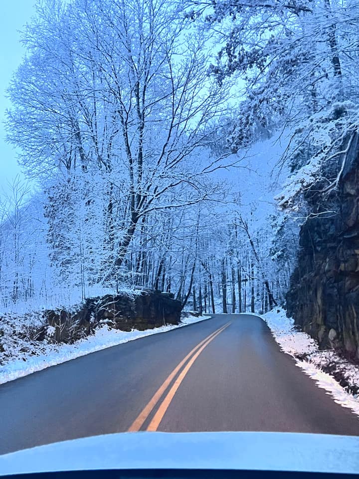 Wintry Highway in Leslie County Courtesy of Sherry Sexton |
Photos
 |
 |
 |
 |
| Enough Snow for a Snowman in Hatfield (Courtesy of Mary Runyon) |
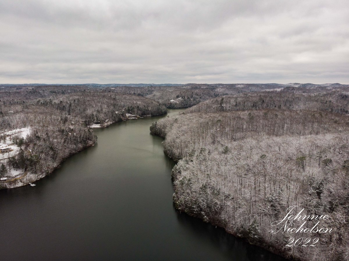
Wood Creek Lake in Laurel County (Courtesy of Johnnie Nicholson) |
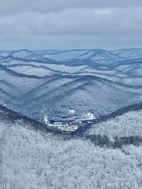
View from Above Whitesburg on Pine Mountain (Courtesy of WYMT) |
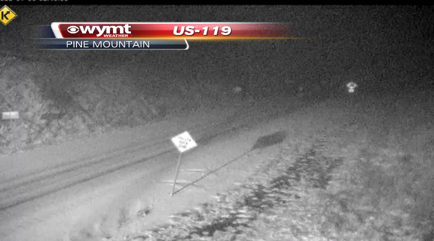
US-119 Atop Pine Mountain in Letcher County (Courtesy of WYMT) |
 |
 |
 |
 |
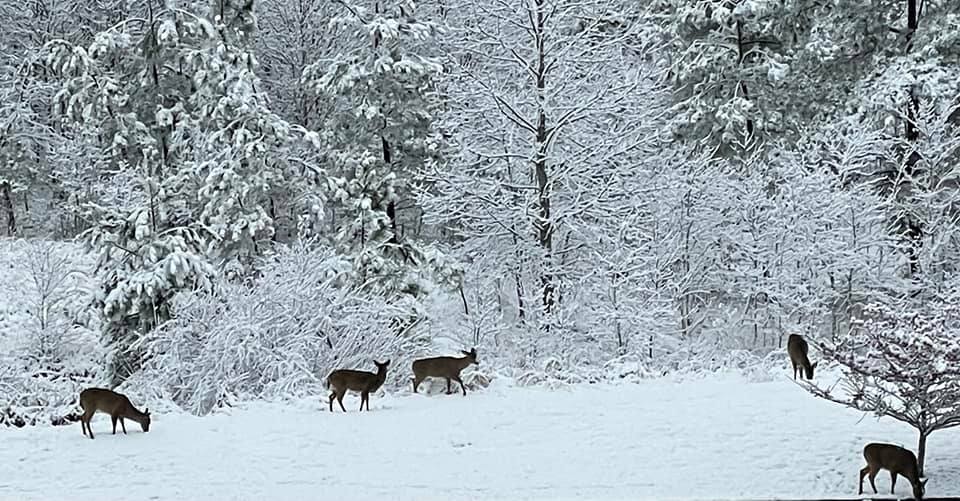
| Deer in Snowy Field Near Whitesburg in Letcher County (Courtesy of Will Whisenant) |
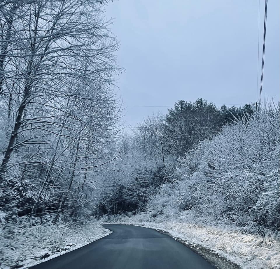
Rural Highway in Perry County (Courtesy of Wes and Eugenia Sullivan) |
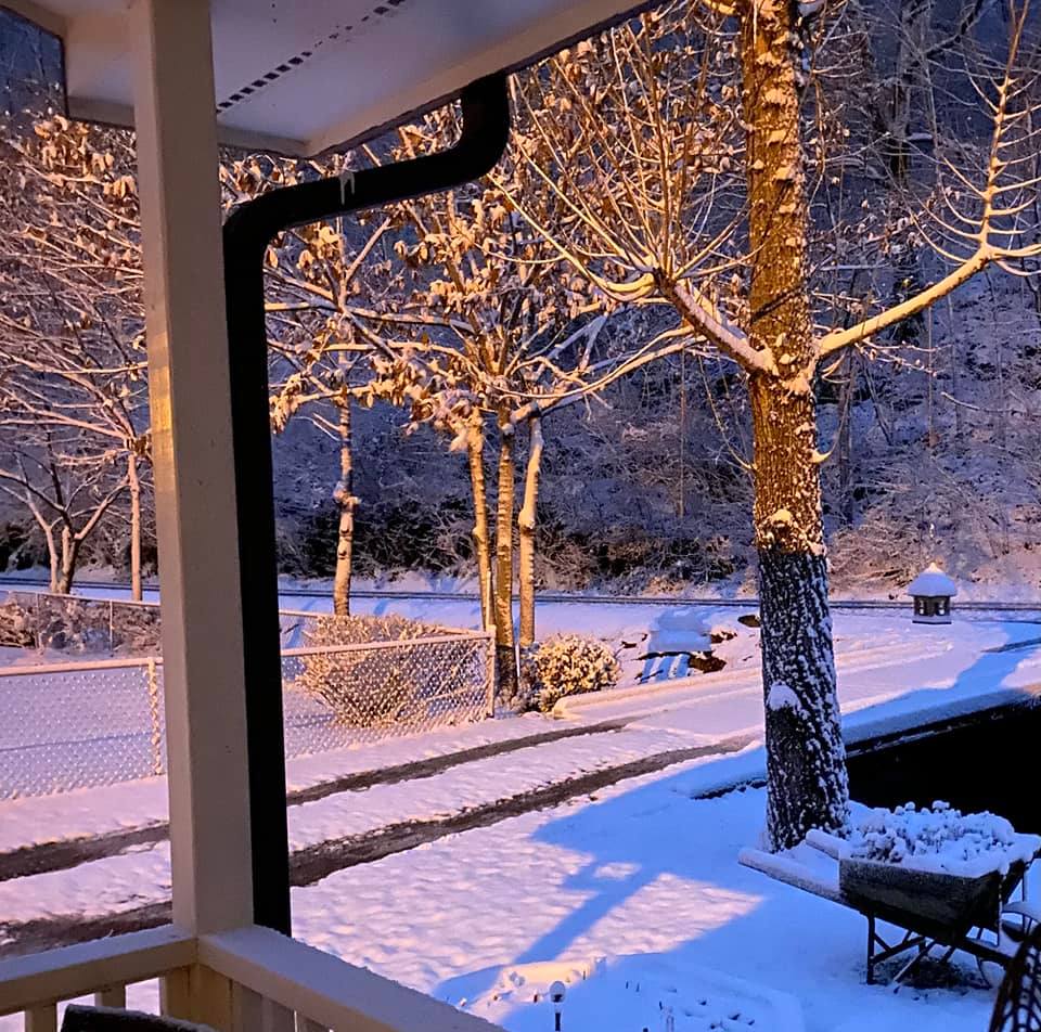
Big Branch in Pike County (Courtesy of Tammy Fields) |
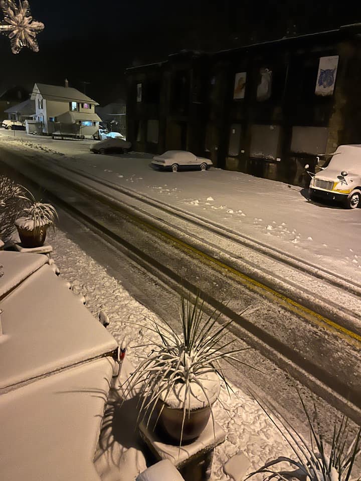
Downtown Lynch in Harlan County (Courtesy of WYMT) |
Radar and Environment
 |
| Winter Storm Radar Loop |
 |
| Surface Analysis from 1 PM January 2nd to 10 AM January 3rd |
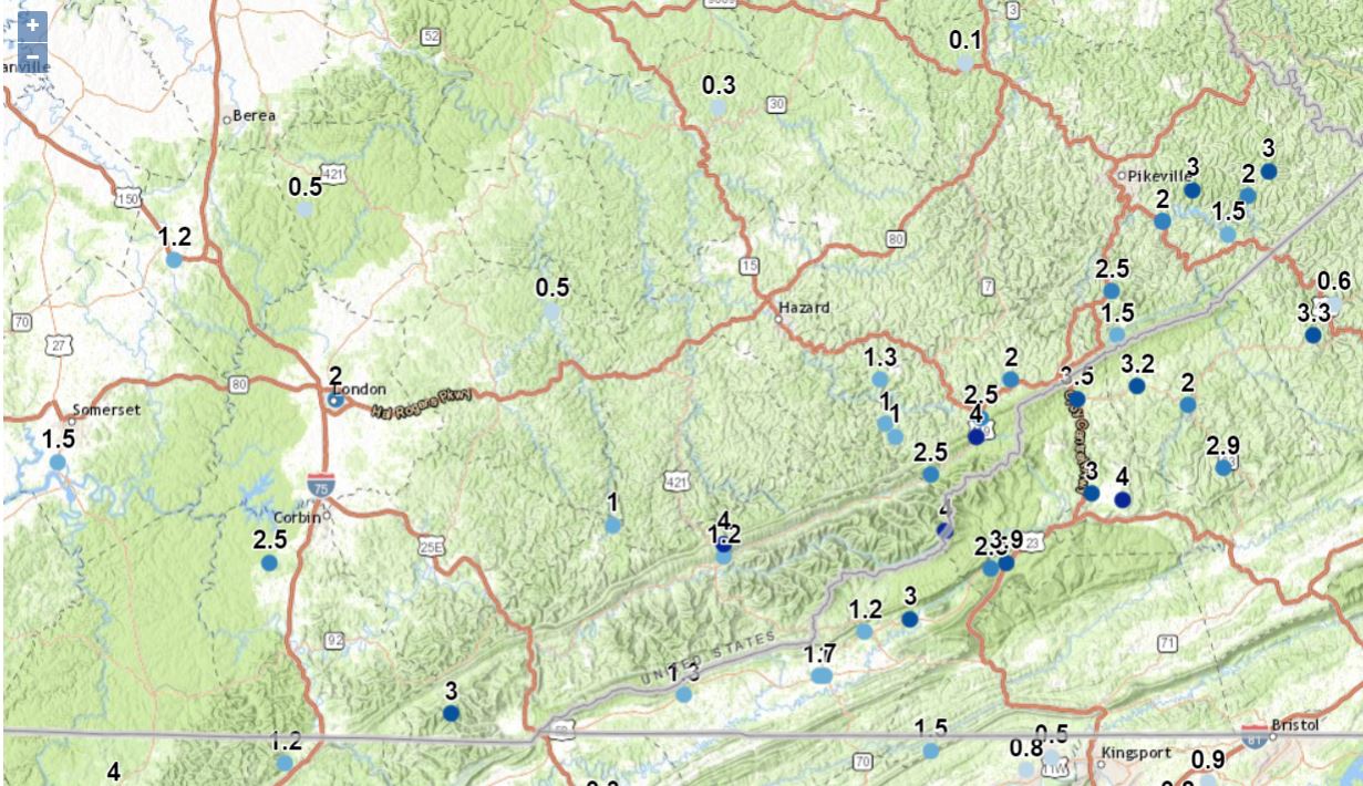 |
| Reports Received by the National Weather Service (These are listed below by county) |
SNOWFALL REPORTS (SORTED BY COUNTY)

Location                     Amount    Time/Date       Lat/Lon

Bell County
2 NNE Fonde                  3.0 in    0500 AM 01/03   36.63N/83.85W
Beverly                      1.0 in    0945 AM 01/03   36.93N/83.53W

Breathitt County
NWS Office/Julian Carroll    0.3 in    0700 AM 01/03   37.59N/83.32W
9 SSE Campton                 T in     0700 AM 01/03   37.66N/83.41W
Quicksand                     T in     0826 AM 01/03   37.53N/83.35W

Clay County
Oneida                       0.5 in    0700 AM 01/03   37.27N/83.65W

Estill County
Cressy                        T in     0800 AM 01/03   37.83N/84.03W

Floyd County
3 WSW Prestonsburg           0.1 in    0700 AM 01/03   37.66N/82.83W

Harlan County
1 ENE Big Black Mountain     4.0 in    0800 AM 01/03   36.92N/82.87W
1 NW Rosspoint               4.0 in    0800 AM 01/03   36.90N/83.31W
1 NNE Gatun                  1.2 in    0822 AM 01/03   36.88N/83.31W

Jackson County
8 W McKee                    0.5 in    0830 AM 01/03   37.43N/84.14W

Laurel County
London                       2.0 in    0408 AM 01/03   37.13N/84.08W

Lee County
4 N Beattyville               T in     0900 AM 01/03   37.63N/83.72W

Letcher County
1 SSW Ermine                 2.5 in    0700 AM 01/03   37.10N/82.80W
2 SE Whitesburg              2.5 in    0700 AM 01/03   37.10N/82.80W
Partridge                    2.5 in    1200 PM 01/03   37.01N/82.90W
Thornton                     2.0 in    0945 AM 01/03   37.16N/82.74W
Lilley Cornett Woods         1.0 in    0700 AM 01/03   37.09N/82.99W

Magoffin County
Salyersville                  T in     0917 AM 01/03   37.74N/83.07W

Martin County
2 E Inez                      T in     0700 AM 01/03   37.87N/82.52W

Montgomery County
Mount Sterling                T in     0700 AM 01/03   38.07N/83.95W

Owsley County
4 ENE Booneville              T in     0700 AM 01/03   37.50N/83.62W

Pike County
3 W Coleman                  3.0 in    0800 AM 01/03   37.49N/82.23W
2 N Fishtrap Lake            3.0 in    0800 AM 01/03   37.46N/82.38W
2 ESE Jonancy                2.5 in    0800 AM 01/03   37.30N/82.54W
2 SE Garden Village          2.0 in    0800 AM 01/03   37.41N/82.44W
2 ESE Garden Village         2.0 in    1047 AM 01/03   37.41N/82.44W
2 N Biggs                    2.0 in    1113 AM 01/03   37.45N/82.27W
2 NE Shelby Gap              1.5 in    0800 AM 01/03   37.23N/82.53W
3 W Mouthcard                1.5 in    0830 AM 01/03   37.39N/82.31W

Pulaski County
2 SSW Somerset               1.5 in    0741 AM 01/03   37.03N/84.63W

Rockcastle County
Spiro                        1.2 in    0742 AM 01/03   37.35N/84.40W

Whitley County
7 SW Corbin                  2.5 in    0700 AM 01/03   36.87N/84.21W

Observations are collected from a variety of sources with varying
equipment and exposures. We thank all volunteer weather observers
for their dedication. Not all data listed are considered official.
 |
Media use of NWS Web News Stories is encouraged! Please acknowledge the NWS as the source of any news information accessed from this site. |
|

