
Remnant moisture from Tropical Storm Rachel will persist over portions of the Great Basin and Southwest on Monday, bringing a potential heavy to excessive rainfall risk. Well above average and potentially record breaking temperatures will develop across the Plains and Midwest early this week, spreading into the Lower Mississippi Valley and Southeast midweek. Read More >
Some users of NWS radar displays have begun receiving messages about the use of Adobe Flash in the display. Flash is scheduled to be discontinued toward the end of this year (2020), so web browsers have begun to alert users of this upcoming event.
The NWS's radar.weather.gov website has been the face of NWS radar data since 2003. The site routinely receives around 1.75 million hits on an average day and hundreds of millions of hits per day during active weather. The face of technology has changed dramatically throughout the last decade. By 2018 81% of Americans 13 years and older owned a smartphone. These devices have changed how and where we browse the internet. By 2018 mobile devices generated more than half of all web site traffic worldwide.
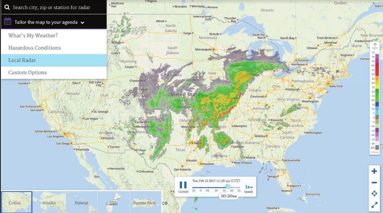 The radar web site is not mobile-friendly in its current form and some of the displays use Flash. So, in response to these dramatic changes, this spring the NWS will replace the existing site and features with the following:
An example of the planned display is shown at right (subject to change).
In the meantime, we do have a non Flash-based version of the radar displays. This can be accessed from the regular radar page by clicking on the "Go to: Standard Version" link near the top left part of the screen. Or, you can use the following link:
https://radar.weather.gov/radar_lite.php?rid=jkl&product=N0R&loop=yes
(Article originally published by NWS Central Illinois & NWS Louisville)



 Follow us on X
 Follow us on Facebook
 Follow us on YouTube
 JKL RSS Feed