Chicago, IL
Weather Forecast Office
`
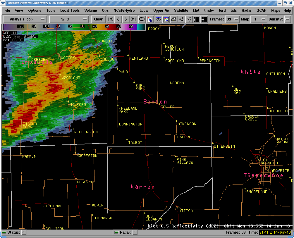
Radar Loop from June 14, 2010 Storms
To start the radar loop, please click on the  button that looks like this on the left hand in the gray shaded area.
THE PAGE WILL TAKE A FEW MOMENTS TO LOAD BECAUSE OF THE IMAGES. PLEASE BE PATIENT
|
Frame Controls
Step Frame: Loop Mode: Loop Speed: Frame Dwell First: Frame Dwell Last: |
 |
Hazards
Enhanced Hazardous Weather Outlook
Hazardous Weather Outlook
National Briefing
Storm Spotter Training and Seminars
Outlooks
Watch/Warning/Advisory Criteria
Snow Squall Warnings
Local Forecasts
Marine
Aviation
Fire
Text Products
Great Lakes Marine Portal
Lake Michigan Beach Forecast
El Nino
Snow and Ice Probabilities
US Dept of Commerce
National Oceanic and Atmospheric Administration
National Weather Service
Chicago, IL
250 George J Michas Dr.
Romeoville, IL 60446
815-834-1435 8am-8pm
Comments? Questions? Please Contact Us.

