 The Chicago/Romeoville National Weather Service Forecast Office issues generalized weather forecasts out to 7 days for north central and northeast Illinois and far northwest Indiana. Other offices (including Quad Cities, Lincoln, St. Louis and Paducah) issue forecasts for the remainder of Illinois and Indiana. These forecasts are the product of a mix of scientific models and forecaster experience. The models run twice a day and so routine forecasts are issued in the early morning and mid afternoon (4 am and 4 pm). Updated forecasts are issued as conditions warrant. Latest Forecasts for Northern Illinois and Northwest Indiana:
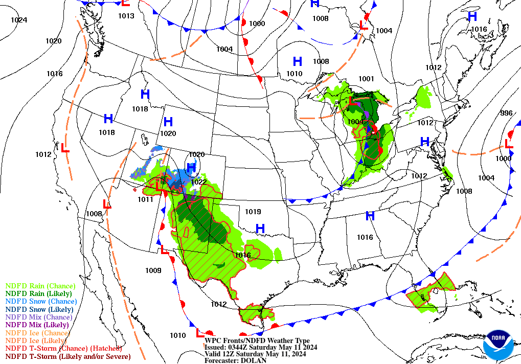
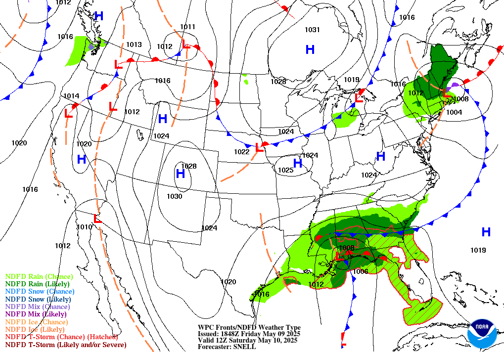
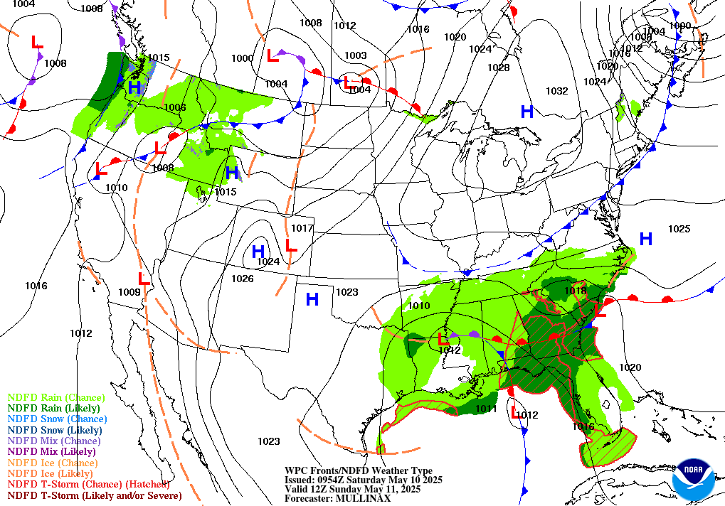
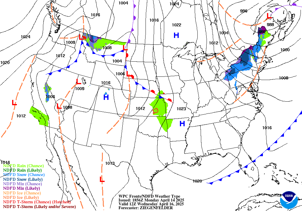
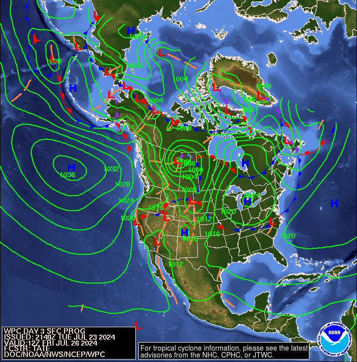
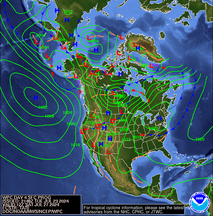
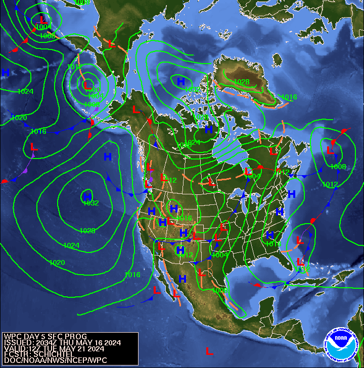
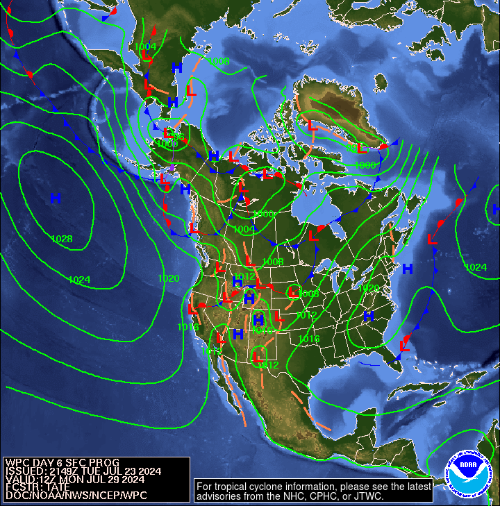
Winter Weather Page: A page for all winter forecasts for northern Illinois and northwest Indiana, along with definitions, climate information and much more. Forecasts Maps: from the Hydrometeorological Center
|



 Follow us on X
 Follow us on Facebook
 Follow us on YouTube
 LOT RSS Feed