Lubbock, TX
Weather Forecast Office
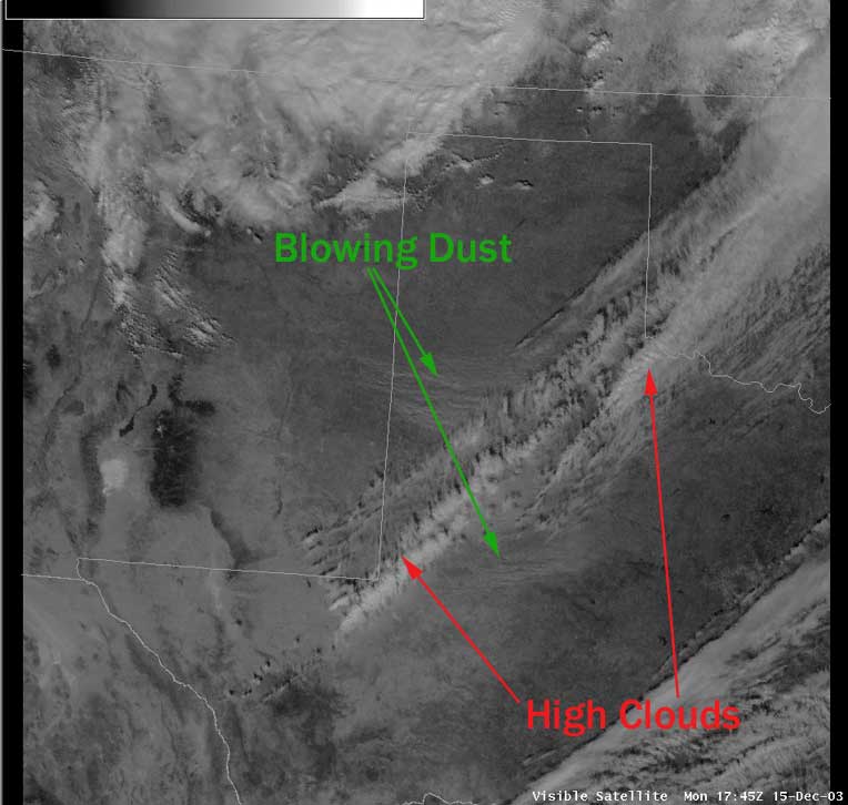
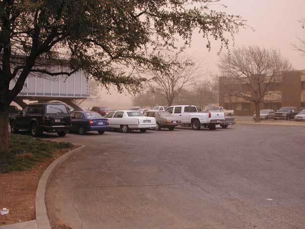
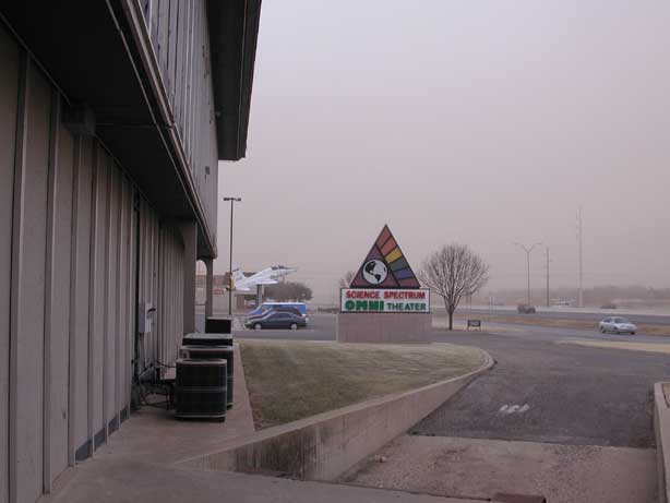
The above image is a visible satellite image from 1145 am December 15, 2003. High winds began across the western South Plains shortly after sunrise and moved into the city of Lubbock in earnest by noon. Visibilities across the region were as low as 1/4 mile. The strong winds were generated by an intense upper level storm system that passed over the Texas Panhandle. The winds picked up impressive amounts of soil from the open fields across the South Plains and eastern plains of New Mexico (as shown by the green arrows in the above image). Although not as apparent on the above satellite image, the winds also picked up material from White Sands, NM.
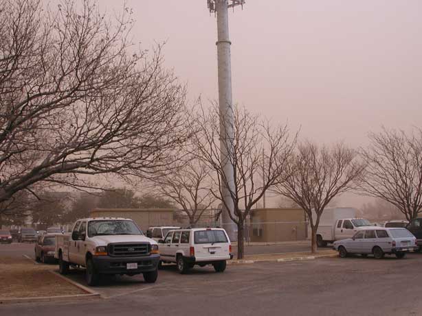
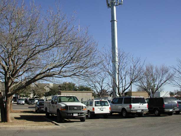
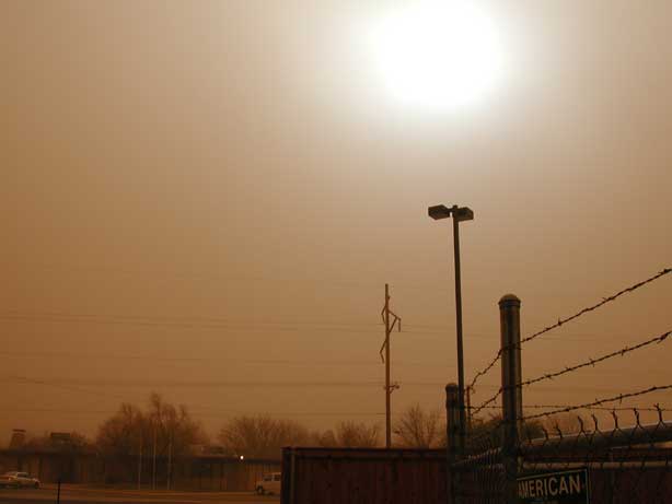
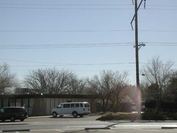
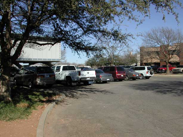
Below are some photos of the dust as it was affecting the south side of the city of Lubbock. The images to the right are photos taken about 24 hours later. Click on the image for a larger version.
 |
 |
 |
 |
 |
 |
 |
 |
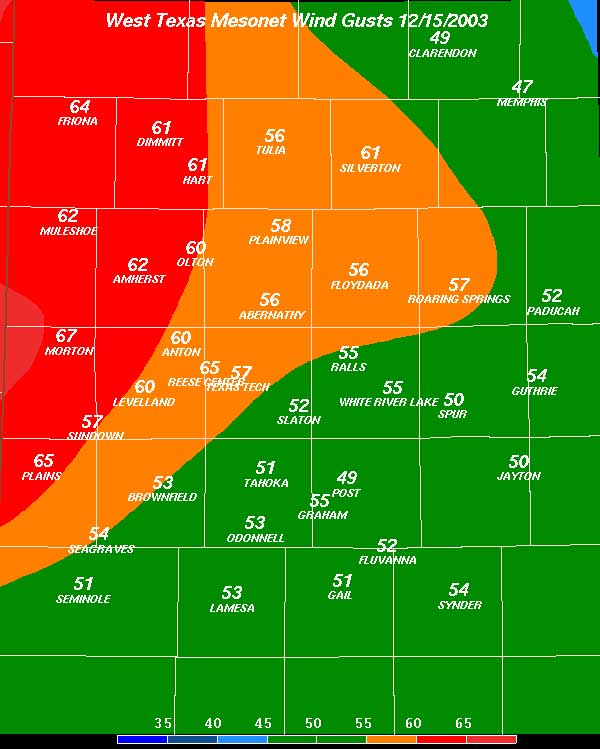
Pictured below are the highest wind gusts (mph) observed by the West Texas Mesonet across the South Plains on December 15, 2003.

US Dept of Commerce
National Oceanic and Atmospheric Administration
National Weather Service
Lubbock, TX
2579 S. Loop 289
Suite 100
Lubbock, TX 79423-1400
806-745-3916
Comments? Questions? Please Contact Us.


 Follow us on X
 Follow us on Facebook
 Follow us on YouTube
 LUB RSS Feed


