|
Haboob Rolls Through the South Plains |
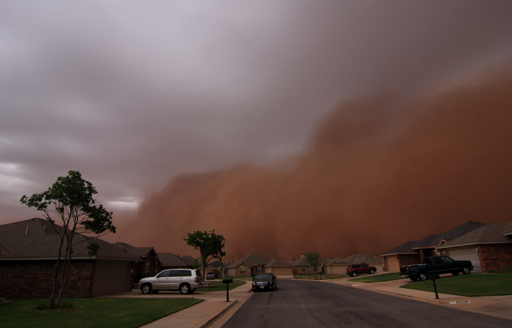 |
| Picture of a habob as it rolled into the southwest side of Lubbock sometime around 8:20 pm on 18 June 2009. The picture is by NWS meteorologist Todd Lindley. Click on the image for a larger view. |
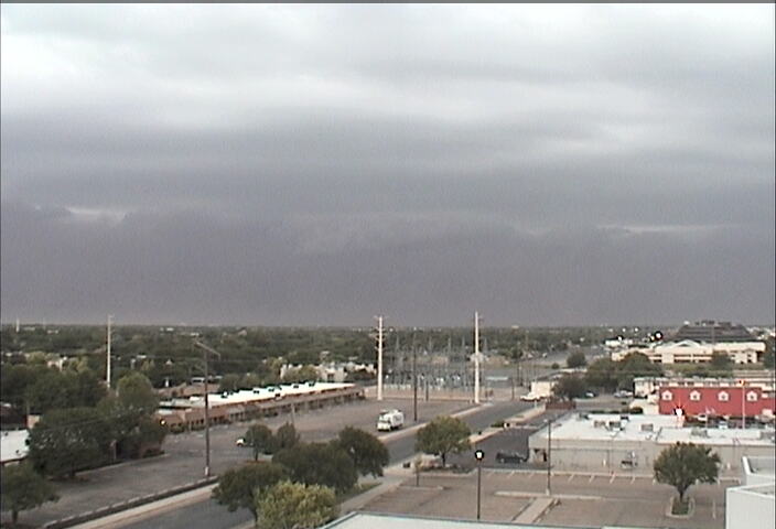
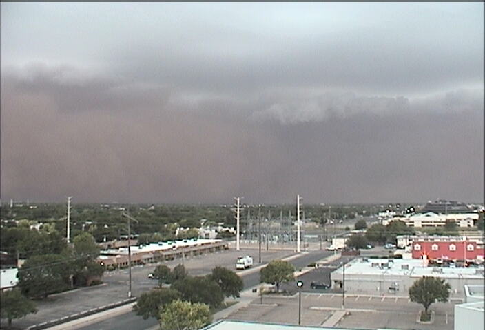
Storms that developed across the Permian Basin during the afternoon and evening hours on Thursday (18 June 2009) moved to the northeast and into the southwest South Plains by the mid-evening hours. These thunderstorms pushed out a large swath of rain-cooled air on gusty winds. When the strong winds moved into the South Plains and over the many open fields, the winds picked up significant amounts of dust, forming a wall of dust known as a Haboob. The strong winds and dust raked northeast across much of the South Plains before slowly losing momentum as the moved off the Caprock into the Rolling Plains. Unfortunately, many of the same locations that experienced the wind and dust saw little or no rainfall as the storms in the wake of the Haboob diminished greatly.
 |
 |
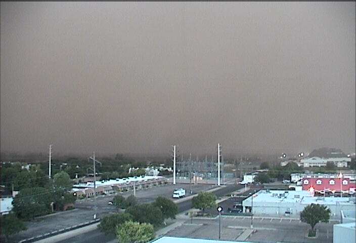 |
| Series of pictures as the Haboob approached the Science Spectrum on the southwest side of Lubbock during the evening of 18 June 2009. Click on the images for a larger view. | ||
In addition to the brief period of dense blowing dust, the winds did occasionally exceed severe levels (58 mph or greater) across portions of the central and southwest South Plains. The highest recorded gust was 67 mph, reported by the West Texas Mesonet site 2 miles south of Brownfield. To view the complete preliminary local storm reports for this day CLICK HERE.
To view another case where a Haboob affected the region refer to the follow page: 22 June 2006 Haboob



 Follow us on X
 Follow us on Facebook
 Follow us on YouTube
 LUB RSS Feed


