National Weather Service United States Department of Commerce

Severe Thunderstorms Tonight in the Mid-Atlantic; Tropical Storm Bertha in the Gulf

Scattered thunderstorms with severe gusts, hail and a tornado risk are possible near a cold front from the Ohio Valley to the Mid-Atlantic tonight. Tropical Storm Bertha is expected to bring tropical storm conditions to portions of the Gulf Coast from the panhandle of Florida into Louisiana through Wednesday. Read More >


First Winter Storm of the Season Strikes
27 October 2011

Water vapor image captured at 10:15 am on 27 October 2011. The upper level storm system that brought the rain and areas of snow to the region in denoted.  Click on the picture for for a larger view.

Water vapor image captured at 10:15 am on 27 October 2011. The upper level storm system that brought the rain and areas of snow to the region in denoted.  Click on the picture for for a larger view.
 
 
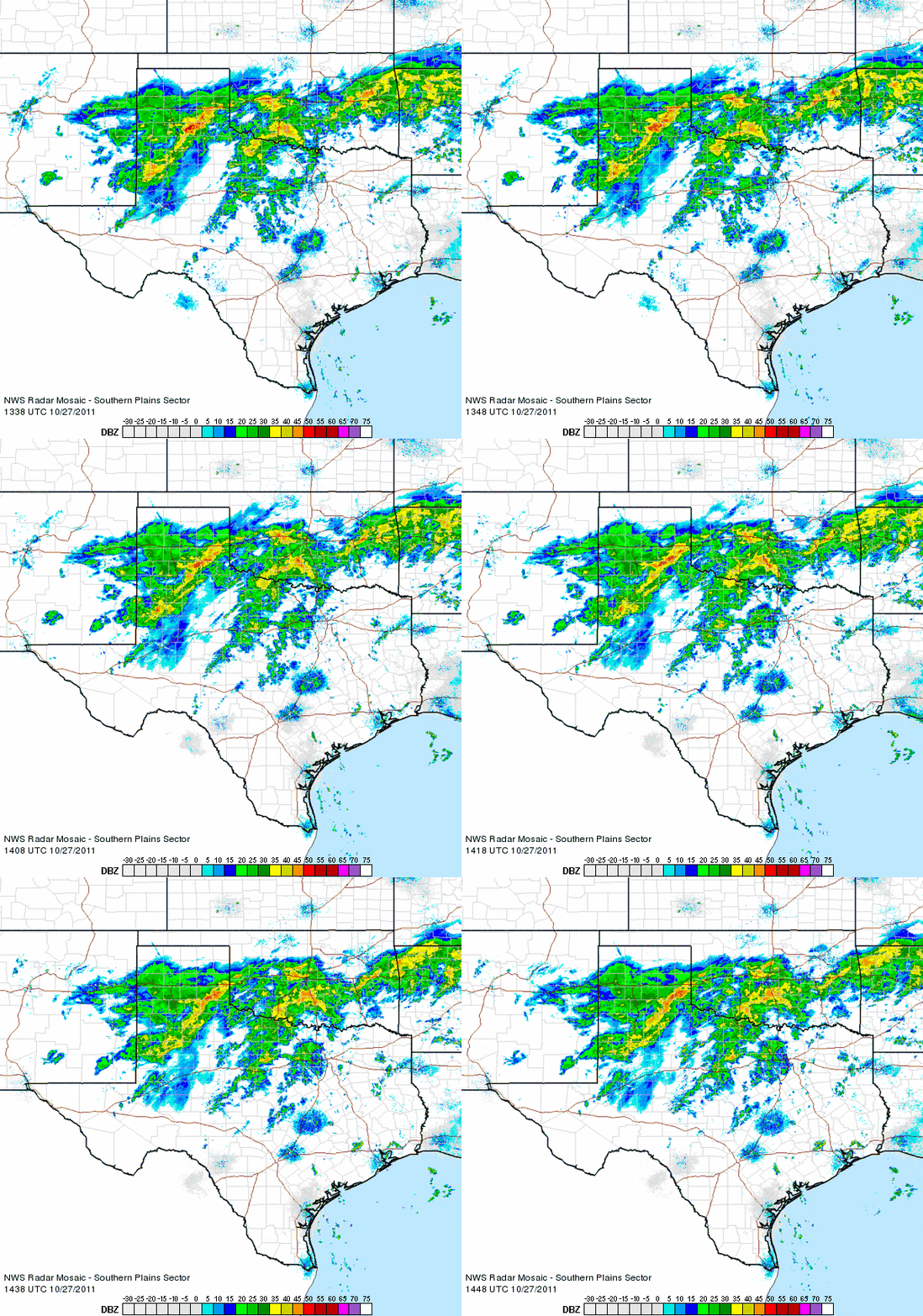
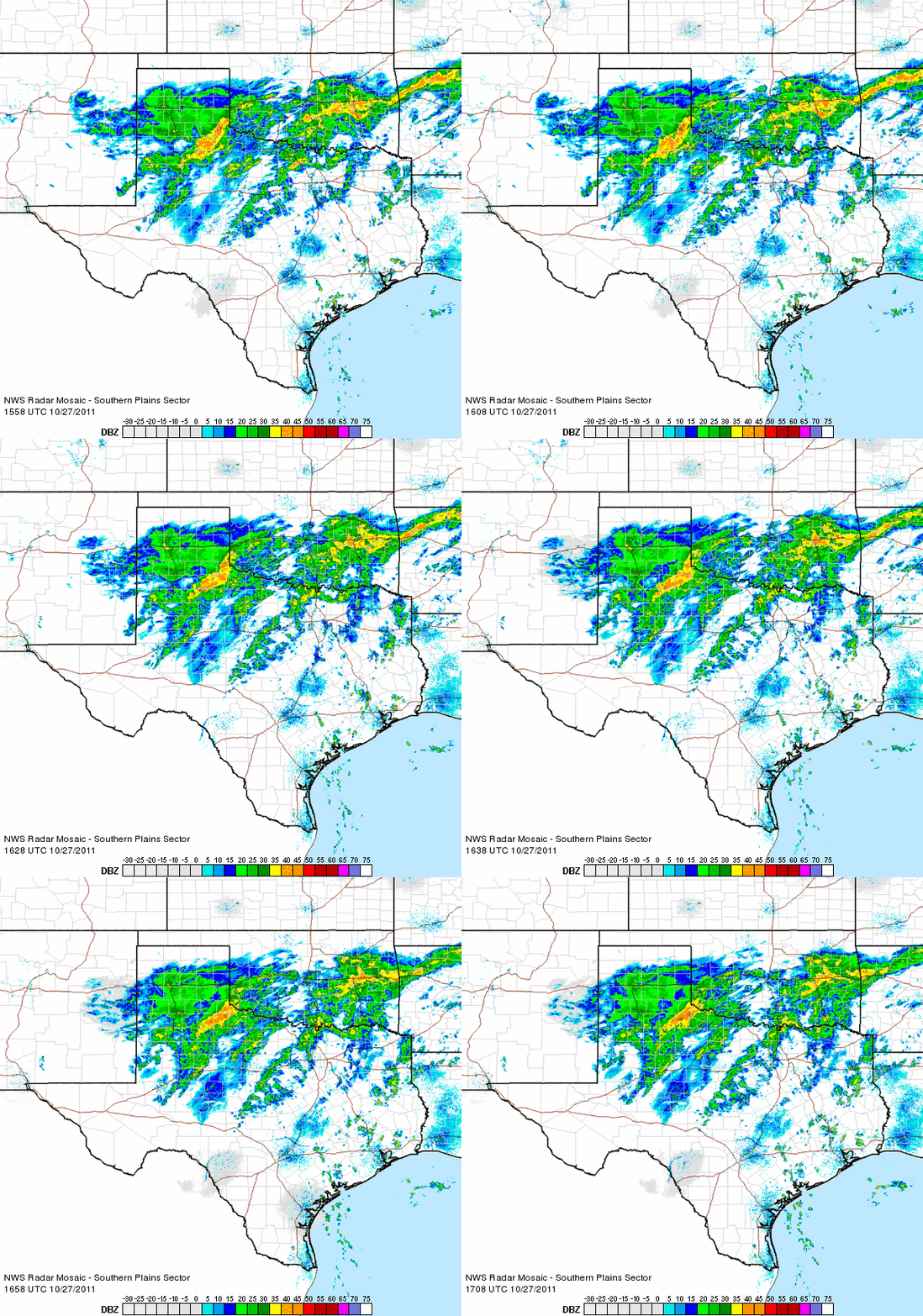
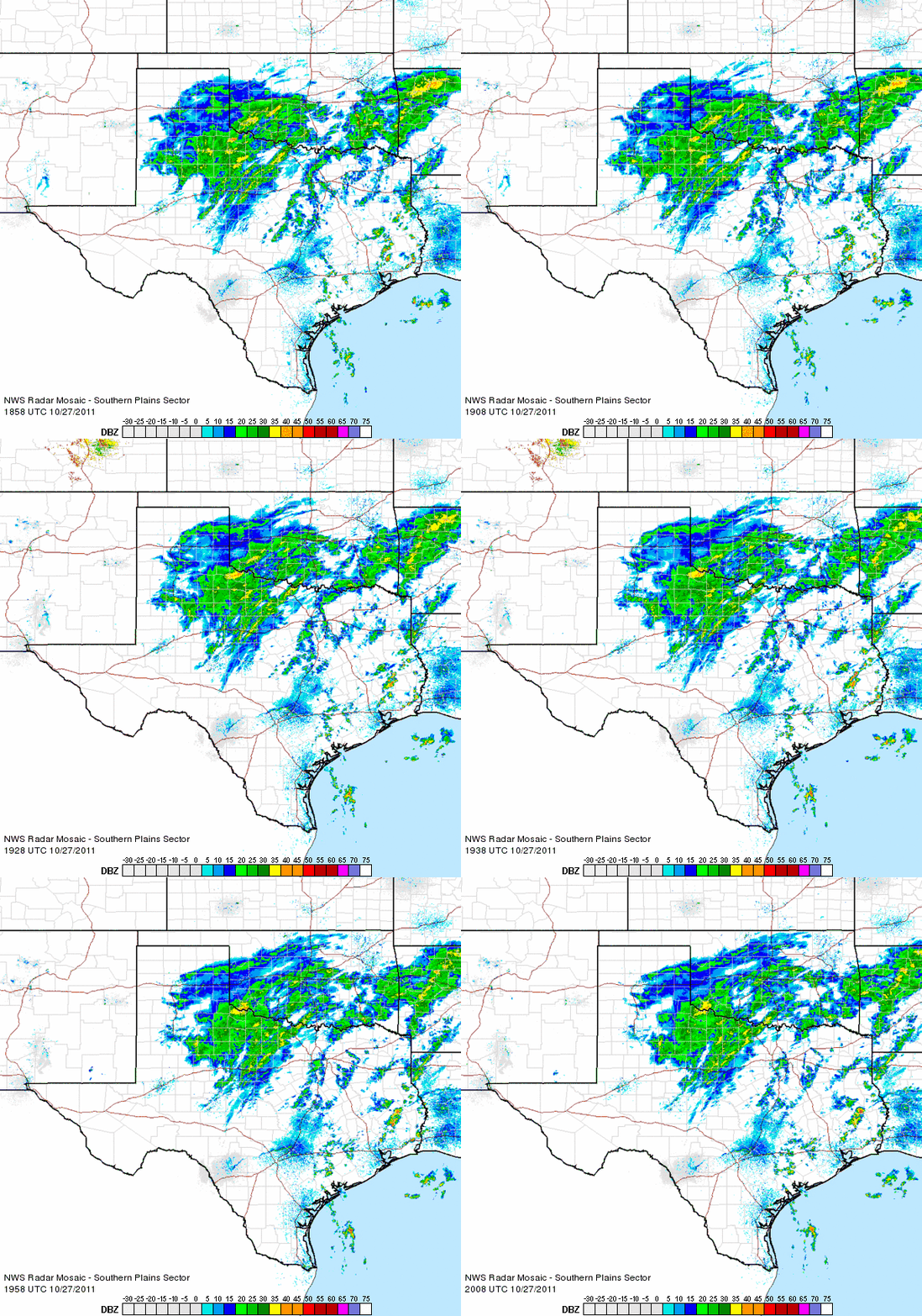
Radar animation valid from 8:38 to 9:48 am on 27 October 2011.
Radar animation valid from 8:38 am to 9:48 am on 27 October 2011. To view additional radar animations click on the following ending times of the loops:  12:08 pm  ;  1:18 pm  ;  3:08 pm 
 
 
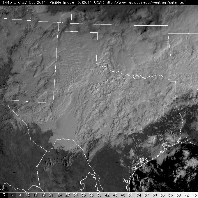
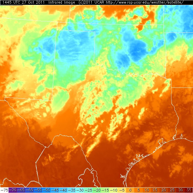
 Visible satellite imagery captured at 9:45 am on 27 October 2011. Click on the picture for for a larger view. Infrared satellite imagery captured at 9:45 am on 27 October 2011. Click on the picture for for a larger view.
Visible (left) and infrared (right) satellite imagery captured at 9:45 am on 27 October 2011. Click on the pictures for for a larger view.
 
 
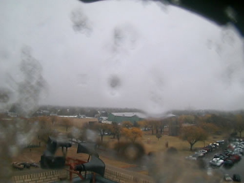
Image captured from a webcam in Plainview around 10:30 am on 27 October 2011. Image are courtesy of KAMC. Image captured from a webcam in Plainview around 12:30 pm on 27 October 2011. Image are courtesy of KAMC.
Images captured from a webcam in Plainview around 10:30 am (left) and 12:30 pm (right) on 27 October 2011. Click on the pictures for a large view. Images are courtesy of KAMC.


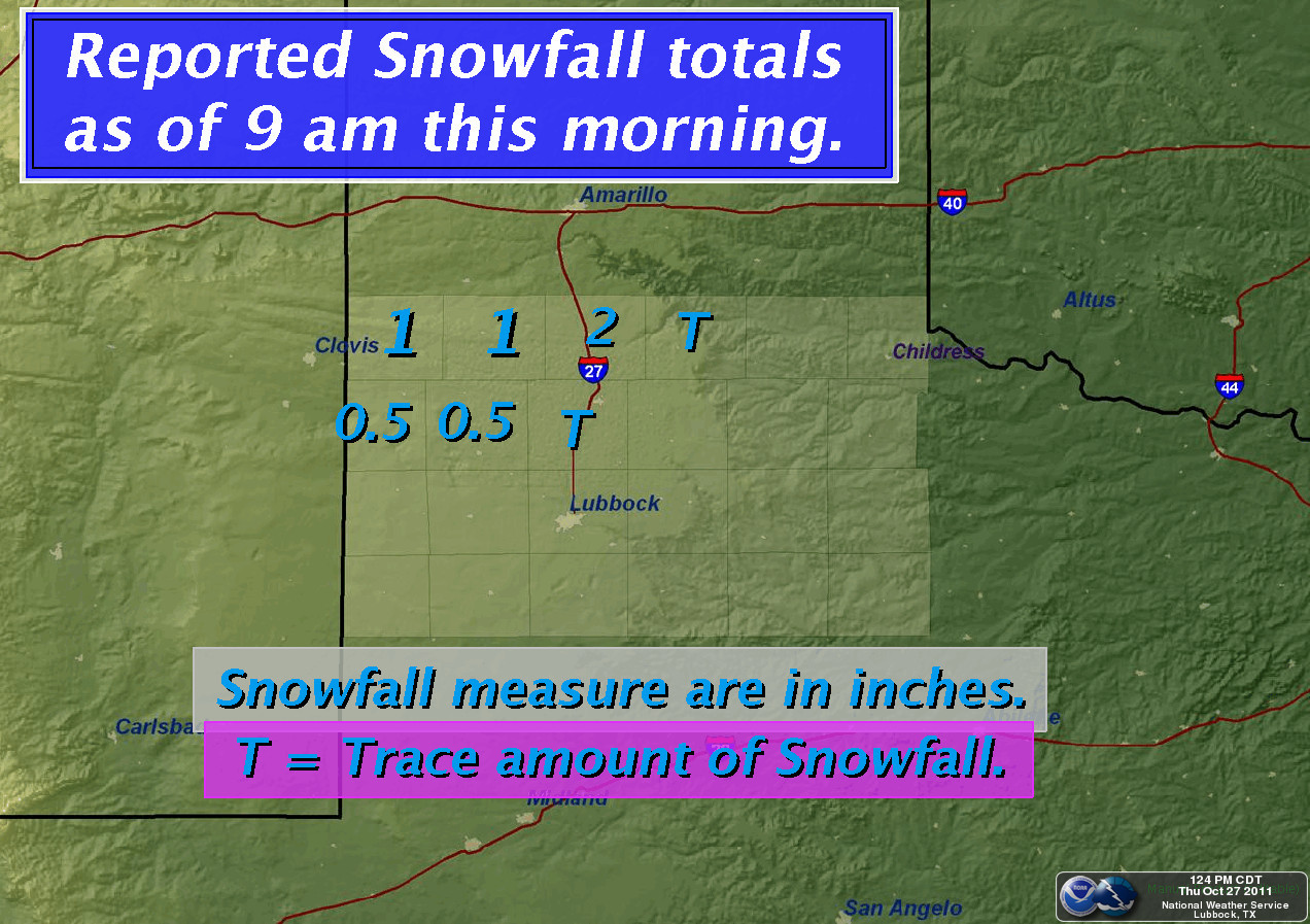
Snowfall totals, as reported to the National Weather Service through 9 am 27 October 2011. Click on the graphic for a larger view.

Snowfall totals, as reported to the National Weather Service through 9 am 27 October 2011. Click on the graphic for a larger view.
 

Click HERE to view the snow and rain reports for the area.

Additionally, the West Texas Mesonet summary for this event can be found HERE.

 
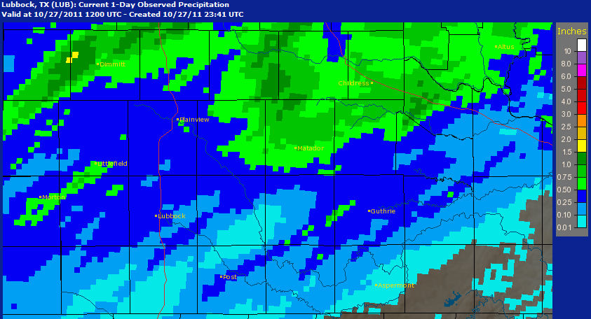
The precipitation analysis map for October 27th, 2011
The NWS precipitation analysis from the event for our forecast area (click on the graphic to enlarge it).