Lubbock, TX
Weather Forecast Office
| Widespread Winter Rain 30-31 January 2015 |
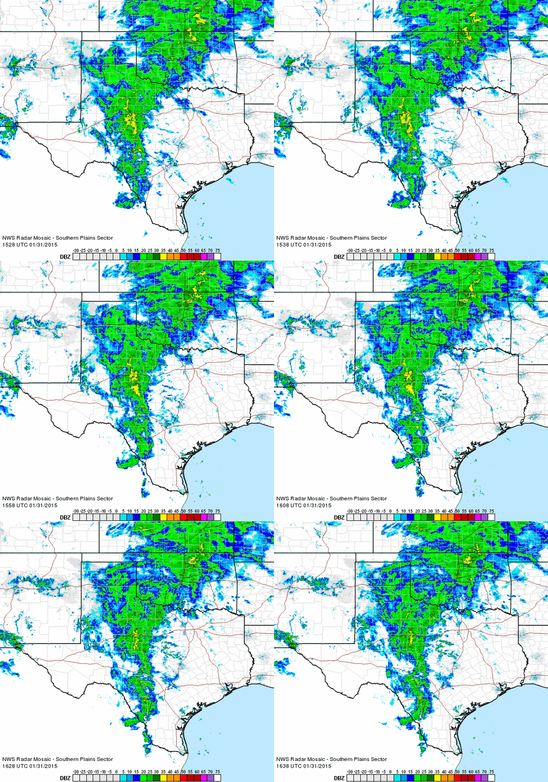 |
| Regional radar animation valid 9:28 to 10:38 am on Saturday, January 31st, 2015. |
| A moisture-rich storm system brought widespread rain to West Texas to close out January. A little precipitation fell near the state line during the day on the 30th (Friday), but the bulk of the rain fell late Friday night into Saturday. Temperatures held fairly steady in the 30s to lower 40s, making for a cold rain. By the time all was said and done late on Saturday, most locations received between a half and three quarters of an inch of rain, as the below map shows. Lubbock officially recorded 0.58 inches for the event, raising the monthly total for January to 1.61 inches. January, on average the driest month of the year, finished nearly an inch above the long term average of 0.65 inches. |
|
|
||
| Total rainfall recorded by the West Texas Mesonet sites around the region for the late January rains of 2015. |

US Dept of Commerce
National Oceanic and Atmospheric Administration
National Weather Service
Lubbock, TX
2579 S. Loop 289
Suite 100
Lubbock, TX 79423-1400
806-745-3916
Comments? Questions? Please Contact Us.


 Follow us on X
 Follow us on Facebook
 Follow us on YouTube
 LUB RSS Feed


