National Weather Service United States Department of Commerce

KLBB Radar
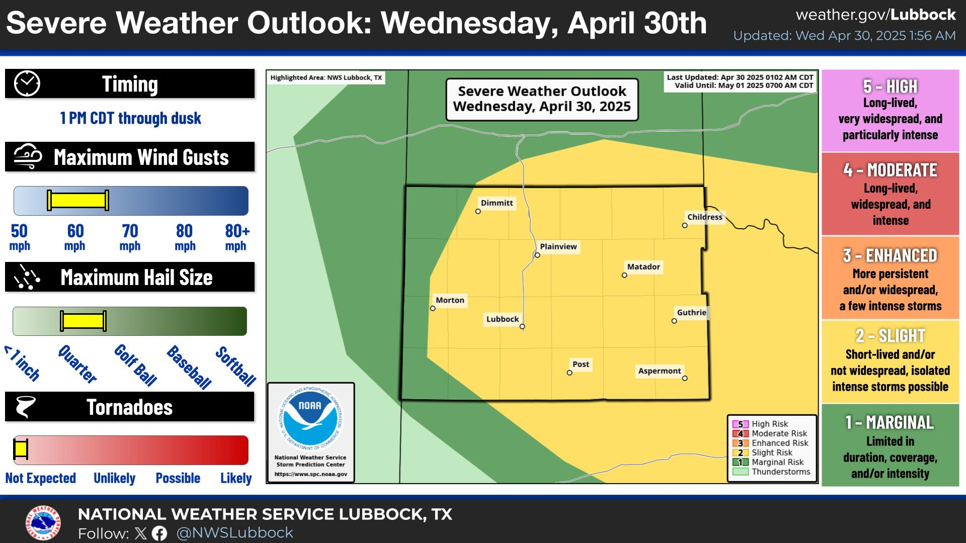
Thunderstorms are forecast to develop across the region by early this evening and continue through tonight. Locally heavy rainfall will accompany the strongest storms in addition to strong wind gust, and frequent cloud-to-ground lightning.
While the severe weather threat is low overall, a damaging wind gust or two up to 65 mph will be possible with the strongest storms.
Locally heavy rainfall will accompany storms this evening through tonight, and rain rates of 1-2 inches per hour will be common with the strongest storms. Localized flash flooding is possible.
Another warm day is on the way for Friday. There is a slight chance of thunderstorms during the afternoon, but storms are expected to be very limited in coverage.
An isolated storm or two are possible Saturday afternoon and evening. Otherwise, the extended forecast is expected to be dry and hot with some areas off the Caprock reaching triple digits.


Local Weather History For July 24th...
1988: Three brief tornadoes were observed late this evening in Bailey and Lamb Counties. The editor of the Muleshoe
Journal Newspaper photographed the first tornado four miles north of Muleshoe, just east of Highway 214. This tornado
lasted around 40 seconds and caused no apparent damage. A second brief, but much larger tornado followed this initial
tornado about eight miles northeast of Muleshoe. A third tornado touched down briefly four miles north of Earth and the
parent storm dropped hail up to golf ball size in Earth.