
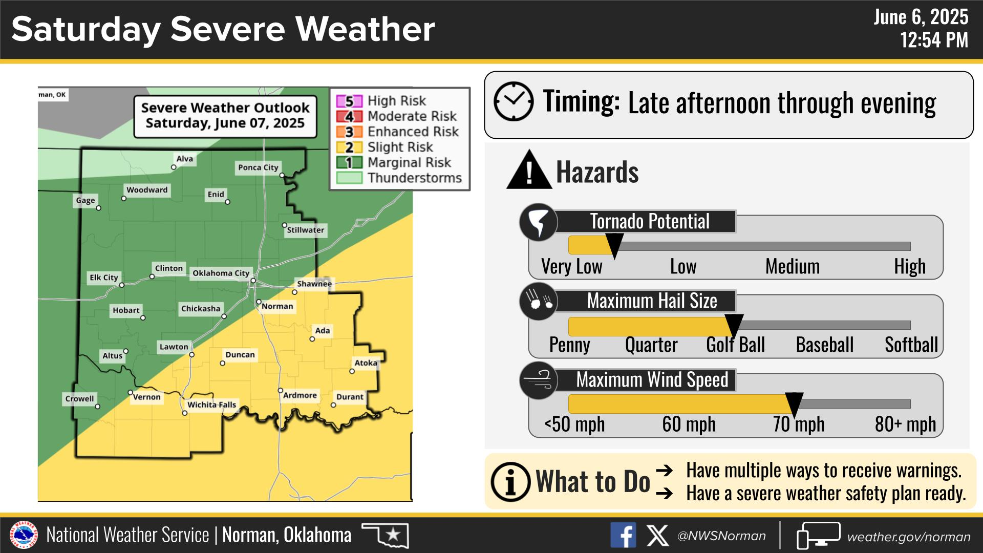
Chantal now a Tropical Depression. Flash flood concerns continue across portions of central North Carolina into Monday. Life-threatening surf and rip currents conditions are expected to continue at beaches along the U.S. east coast from northeastern Florida to the Mid-Atlantic states during the next day or so. Flood Watches and recovery continue across central Texas. Read More >
Last Map Update: Sun, Jul 6, 2025 at 3:28:42 pm CDT
|
Local Weather History For July 6th...
|
|
The hottest July temperature ever recorded in Oklahoma City is 110
degrees and has occurred twice, with one of those instances being on this date back in 1996. |
|
Text Product Selector (Selected product opens in current window)
|
|
 |
 |
 |
 |
 |
 |
| Observations | Discussion | Air Quality | Hydrology | FAQ | Social Media |
 |
 |
 |
 |
 |
 |
| Storm Reports | Gridded Forecast | Aviation | Climate | Storm Data | Weather Radio |
 |
 |
 |
 |
 |
 |
| Satellite | Hourly Forecast | Fire Weather | Past Events | StormReady | Storm Spotters |





 Local Radar
 Weather Map
 Drought Conditions
 Follow us on X
 Follow us on Facebook
 Follow us on YouTube
 OUN RSS Feed