
Heavy rain and gusty winds from Tropical Storm Moke will impact the Big Island into Monday, risking life-threatening flooding and mudslides in windward and southeast areas. Severe thunderstorms are expected across the northern Rockies/Plains and northern Great Basin. Dangerous heat persists across the Southern Plains and Lower Mississippi Valley, building further into the Southwest by midweek. Read More >
Last Map Update: Sun, Aug 23, 2026 at 9:44:35 pm CDT


|
Local Weather History For August 23rd...
|
|
The Lawton Municipal Airport was damaged on August 23, 1993, by winds
from an isolated severe thunderstorm. Several hangar doors were heavily damaged, and an airplane was flipped on its back. Damages totaled over $500,000. |
|
Text Product Selector (Selected product opens in current window)
|
|
 |
 |
 |
 |
 |
 |
| Observations | Discussion | Air Quality | Hydrology | FAQ | Social Media |
 |
 |
 |
 |
 |
 |
| Storm Reports | Gridded Forecast | Aviation | Climate | Storm Data | Weather Radio |
 |
 |
 |
 |
 |
 |
| Satellite | Hourly Forecast | Fire Weather | Past Events | StormReady | Storm Spotters |





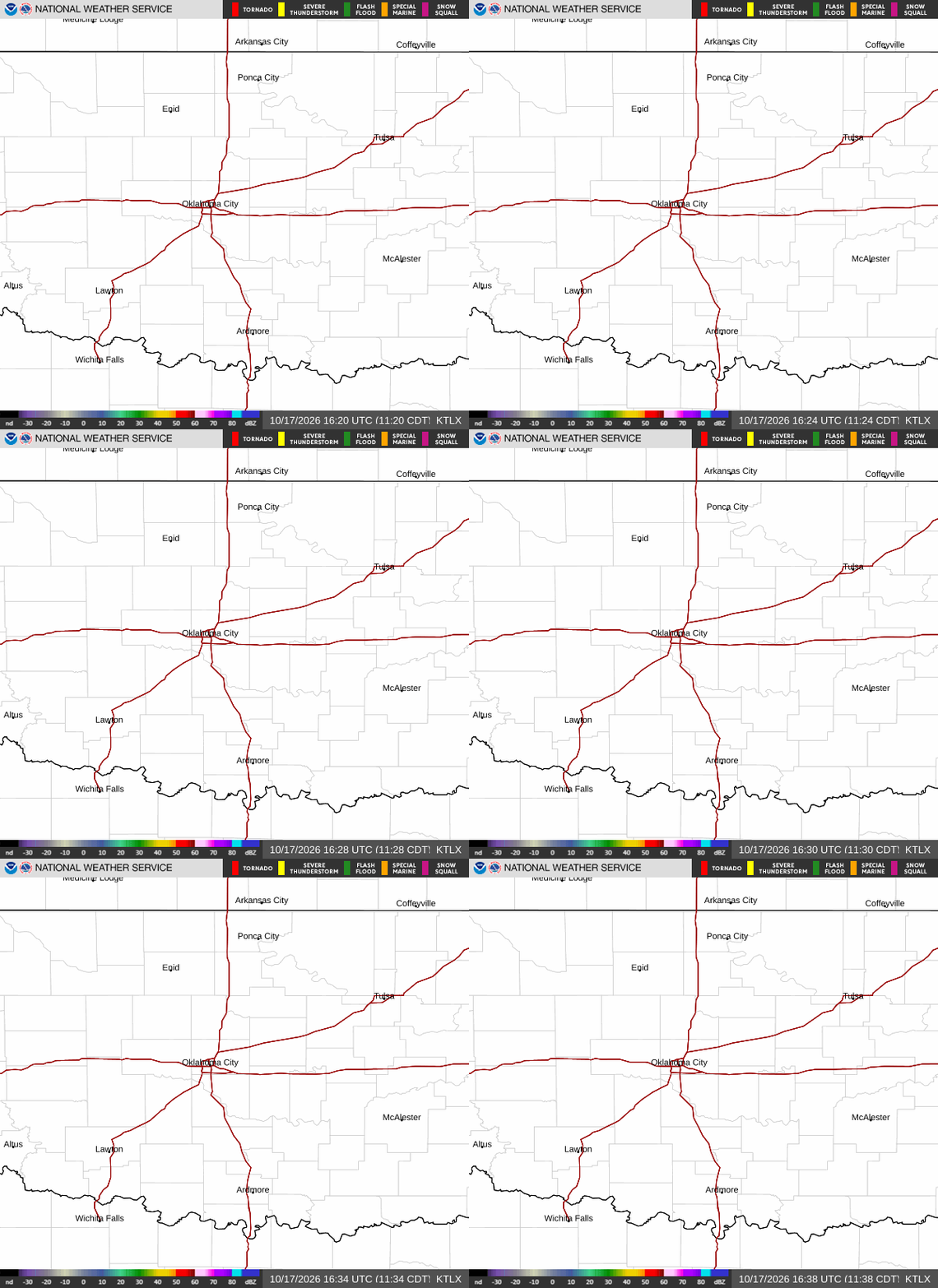 Local Radar
 Weather Map
 Drought Conditions
 Follow us on X
 Follow us on Facebook
 Follow us on YouTube
 OUN RSS Feed